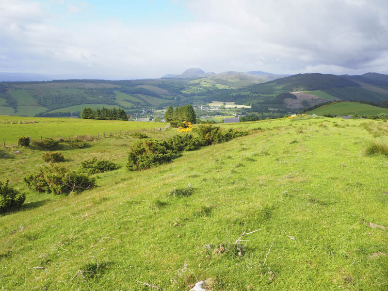
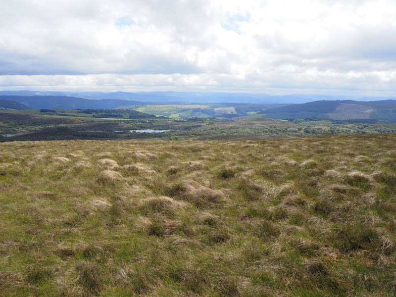
Cnoc Fhearchair and Creag Nay – I drove to Achtuie, located at the end of a single track road north of the A82 and accessed from east of Drumnadrochit, then walked along a vehicle track and between a couple of residential homes. This took me to a stock gate in a fence which contained an electric wire also stretched across the top of the gate. There were handles to disconnect the electric supply but it was just as easy to go under the wire. This led to a grassy field and it was at this point I realised the cows and calves in the adjoining field had access to both fields. The cattle were alert to my presence but didn’t bother me.
A grassy track crossed the field to another gate in a stock and electric fence and this led to a field of rough grazing. Once across it I reached a junction of fences beside the woods at Creag Nay. With no gate and presuming the electric fence was live I used a plastic survival bag to cover the top of four electric wire strands and crossed the fence without incident.
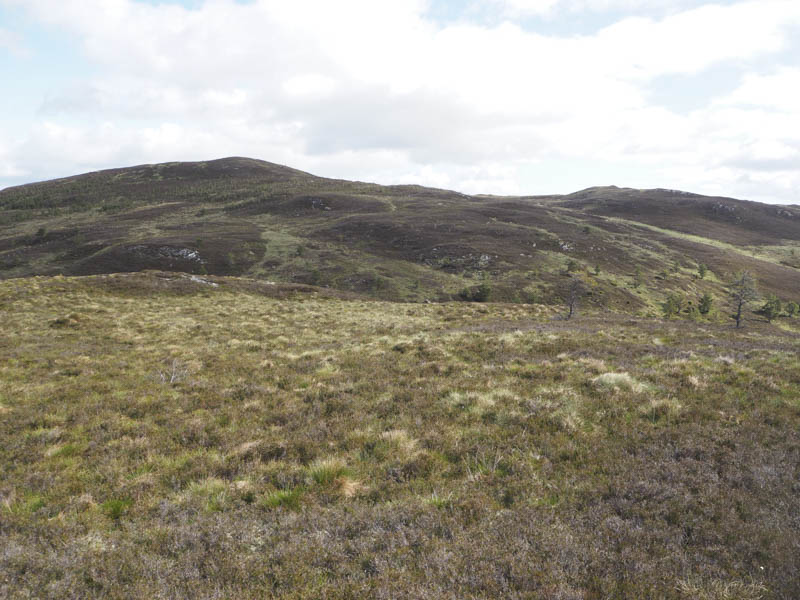
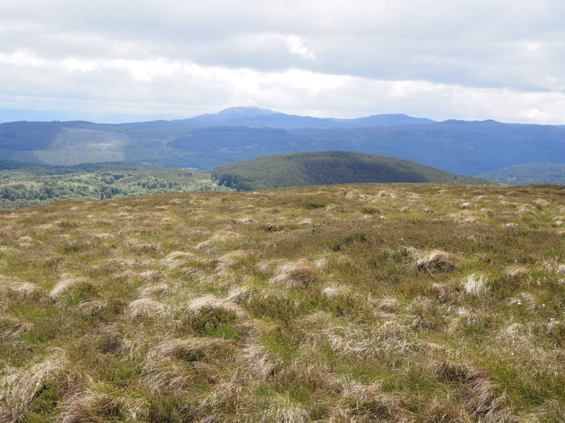
An old track took me north-east, to the west of the woodland and to its north edge losing some height. Here there was a wooden barrier which I could have utilised but decided to continue north up the side of another electric fence gaining the height lost. With no gate in sight I crossed the electric fence by standing on the top wire with my rubber soled boots. Maybe the power was off but I wasn’t planning on testing this theory. I then climbed through heather and a few trees to the summit of the Tump, Cnoc Fhearchair, visiting a couple of outcrops as I couldn’t tell which one was the highest.
I thereafter descended south-west through some well spaced trees to the wooden barrier mentioned earlier and once across it returned along the old vehicle track to the junction of fences. (NH528314 ) I crossed the stock fence into Creag Nay woodland, surprised to note there were no electric wires. It was then an easy ascent through well spaced trees and a few fallen ones to reach the obvious summit of the Tump, Creag Nay, disturbing some deer en-route.
It was sheltered here from the wind so I sat amongst the trees for a while before returning to the junction of fences crossing into the field to the south of the four strand electric fence. I then retraced the outward route back to my car. Fortunately the cattle hadn’t moved.
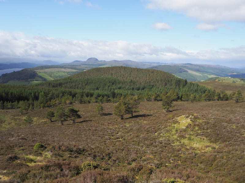
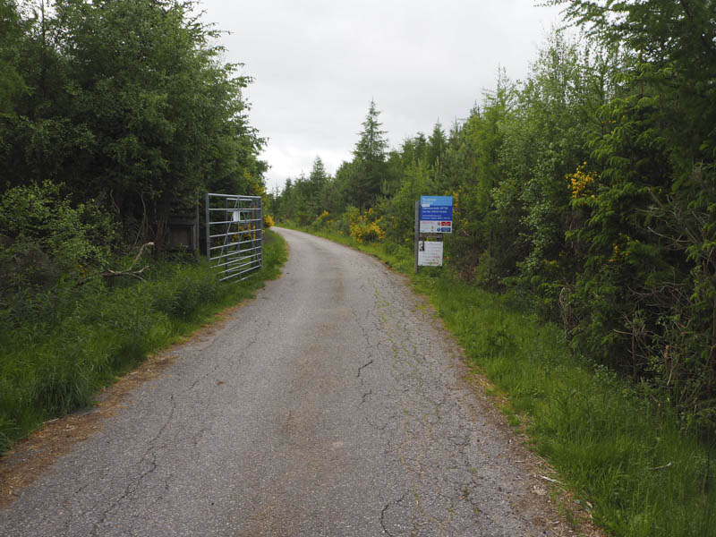
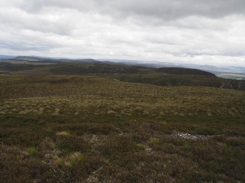
Creag an t-Seilich – I parked on the east side of the A833 Drumnadrochit to Beauly Road at the entrance to Blairmore Forest (NH503351) and walked south, south-east then east along the forest track passing the vehicle track leading to Easter Cudrish.
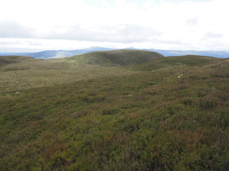
At the next track junction I went left, north-east, still gaining height until at NH513344 I came across a wide gap in the trees. I was now only 160 metres from the summit of Creag an t-Seilich. Initially the ground was flat, rough and boggy but it steepened with a few outcrops. The highest point of this Tump was either an outcrop or a clump of heather.
The return was by the ascent route.
Meall Gorm North Top, Meall Gorm, Meall nan Caorach South-East Top and Meall nan Caorach – I drove south on the minor road on the west side of Glen Convinth, reached from the A833 Drumnadrochit to Beauly Road, to a junction at the end of the public road, where there was plenty of parking available.
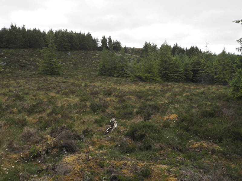
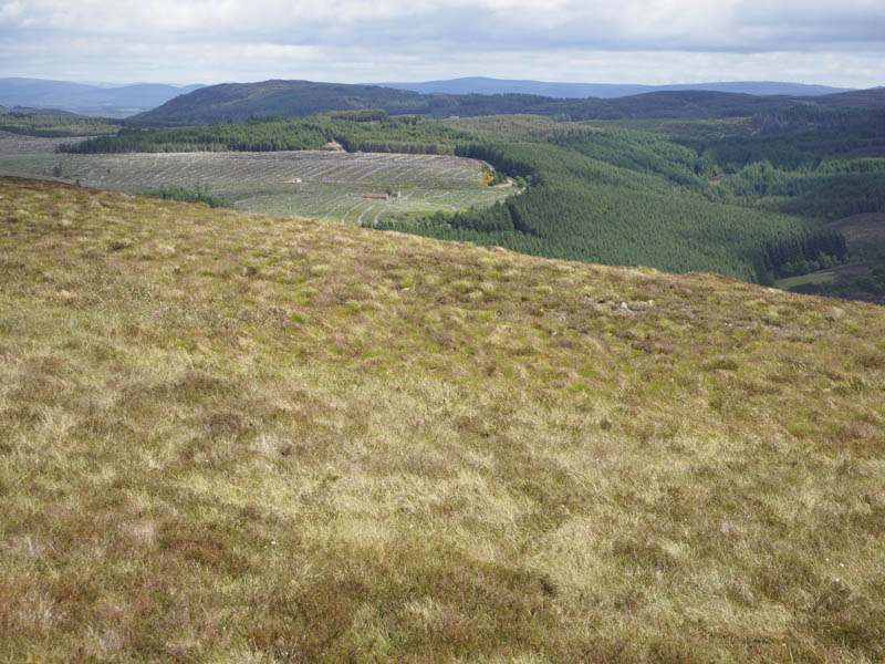
I then passed through an open gate, padlocked on my return, and walked south- west along a tarred road for two kilometres to the premises occupied by Scottish Water. (NH491360) Immediately prior to this building a vehicle track went round its west side and led to gates in a deer fence. The main one was padlocked but the side gate was accessible. The track then deteriorated, obviously no longer used by vehicles since the hillside to the east had been planted with trees, as branches overhung the track as did the broom. There were signs that it had been used by cyclists.
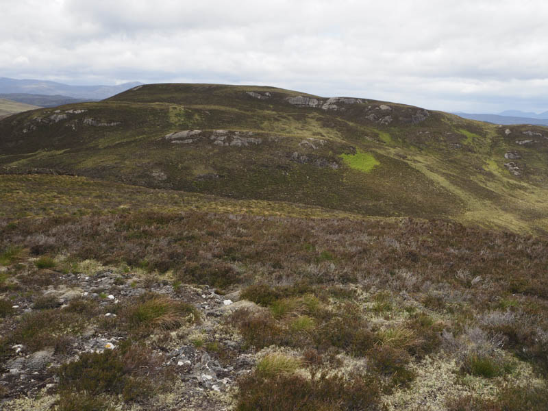
After another set of gates I was onto the open hillside and continued along the track gaining a bit more height. Around NH483347 I left the track and crossed some wet grassy vegetation to the foot of Meall Gorm North Top. It was then a steep climb through heather to the summit of this Tump where I was exposed to the strong wind. I visited a few outcrops including one marked with a cairn as I couldn’t tell which was highest.
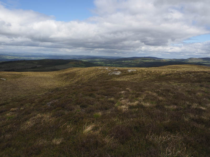
I found some shelter from the wind for a break before descending south initially through heather, then tussocky ground, before more heather as I ascended Meall Gorm. The summit of this Tump was marked by a cairn in the heather.
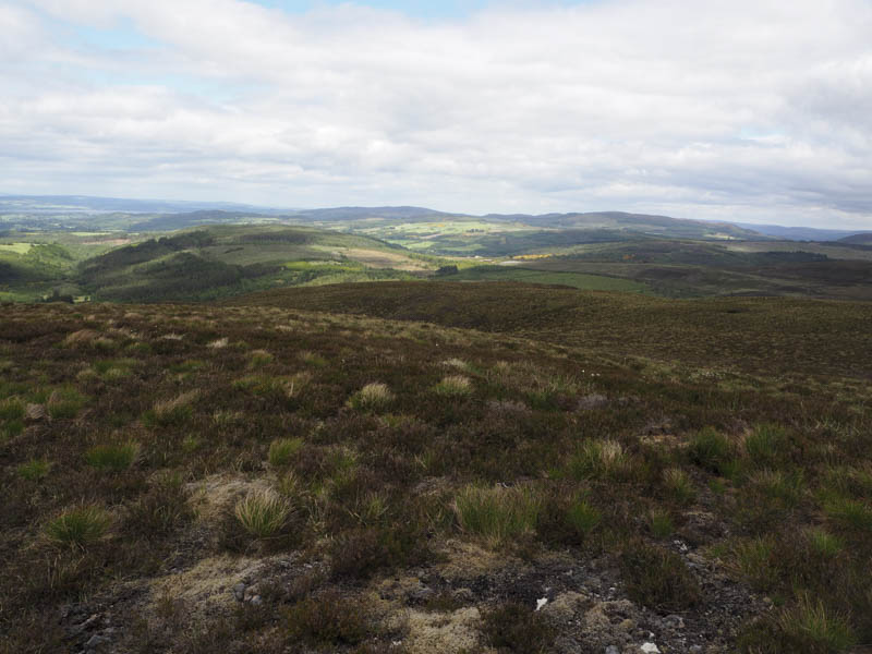
It was then a steep drop west through more heather to flatter ground and rough vegetation. An extension of the vehicle track used earlier was crossed. It appeared that the track here was used by estate vehicles so I presumed that they approached from the south. I then climbed through more rough ground and long heather, avoiding the crags, and onto the Tump, Meall nan Caorach South-East Top, where a heathery outcrop marked the summit.
To avoid more crags I descended north into a gully where it was sheltered from the wind and here deer were feeding although they didn’t appear to spot me. I then commenced the ascent of Meall nan Caorach through more rough ground and crags to reach the small cairn marking the summit of this Hump.
I now had an option, head south and join the vehicle track which wound its way between the hills or descend north-east on a pathless route. I opted for the latter and despite the rough ground and vegetation there were no real problems. I reached the track north of the point where I had left it to climb Meall Gorm North Top then returned to the start by the approach route.
- Total time taken – 6.5 hours.
- Total distance – 20.5 kilometres.
- Total height climbed – 790 metres.