Corrieyairack Hill, Sron a’ Bhuirich, Carn Leac East Top, Carn Leac and Meallan Odhar – Back in May 2006 I crossed the Corrieyairack Pass from west to east and have climbed the nearby Graham, Gairbeinn, a couple of times as well as adjoining hills but I’ve never been up Corrieyairack Hill. This trip was to resolve that.
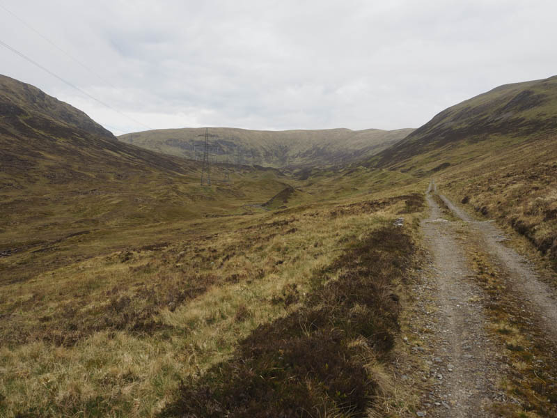
The starting point was the road end east of Melgarve, accessed from the A86 at Laggan along a single track road. Further progress is prevented by barriers as the Pass, part of General Wade’s Military Road, is permanently closed to vehicles.
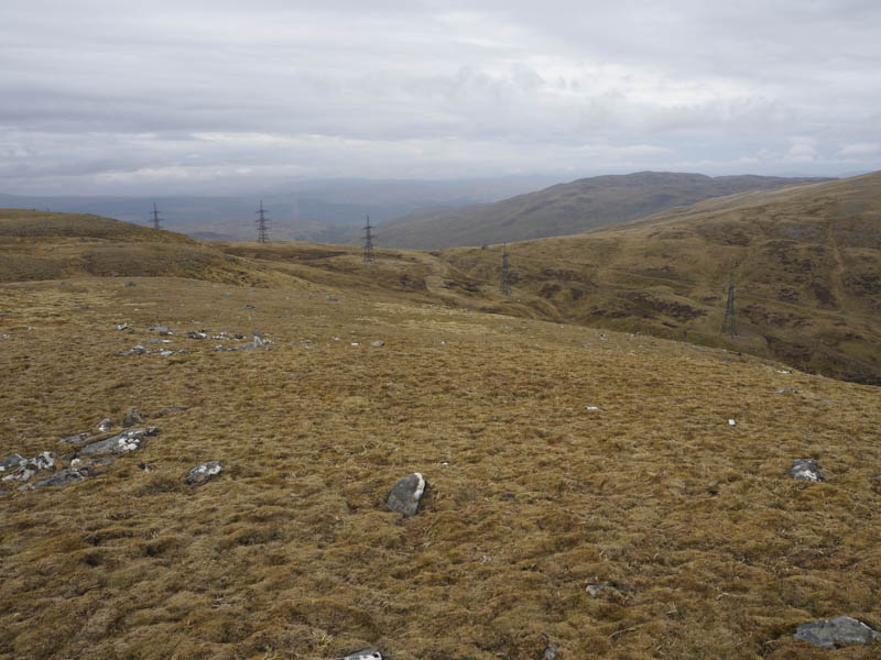
I walked west passed the barrier and the bothy at Melgarve where someone was camping. The track rose on a gentle gradient later turning north-west and steepening a bit, nothing too strenuous as it was used by vehicles. Here two mountain bikers passed me going in the opposite direction.
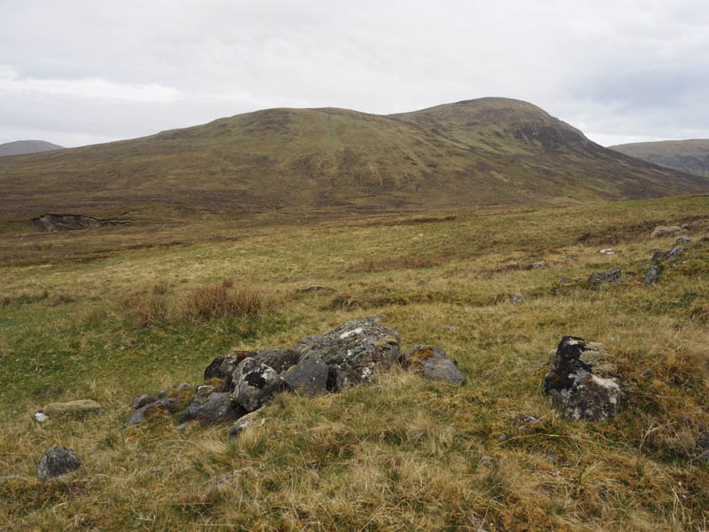
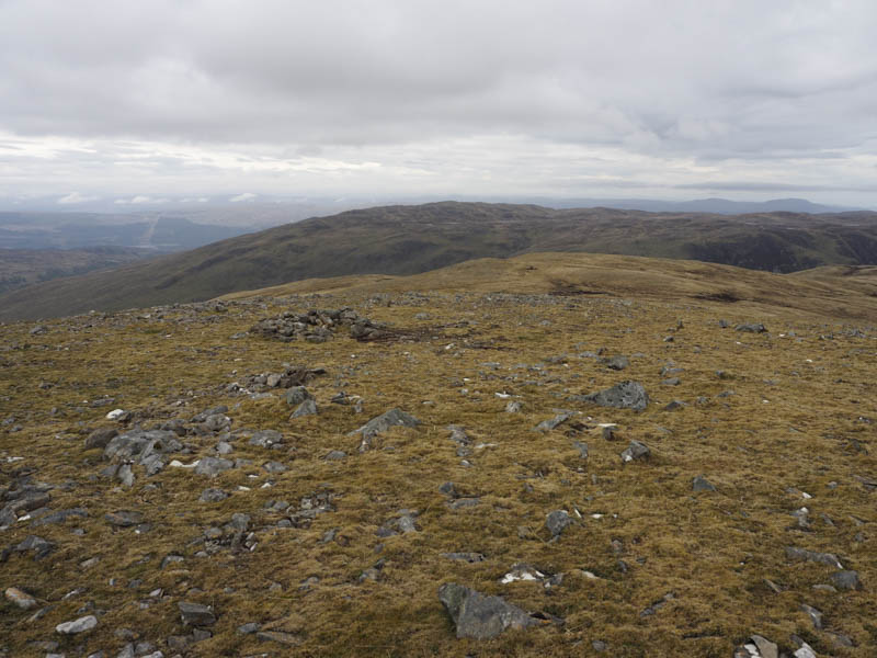
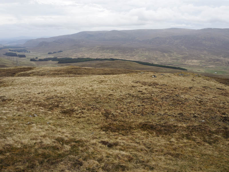
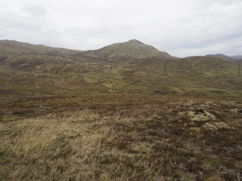
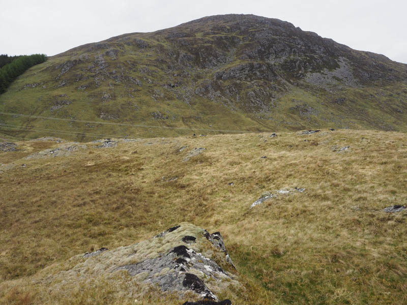
The track later reverted to a westerly direction and at this point I left it and climbed, fairly steeply at times, through heather and grass to the east of Corrie Yairack. This took me onto the east ridge of Corrieyairack Hill then it was a short walk to the cairn marking the summit of this Corbett Top and Hump. Low cloud engulfed me on the final approach but it later cleared and I did get some views. I also visited a top a few metres to the north which my GPS showed as being higher.
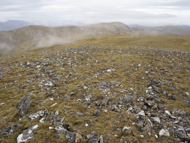
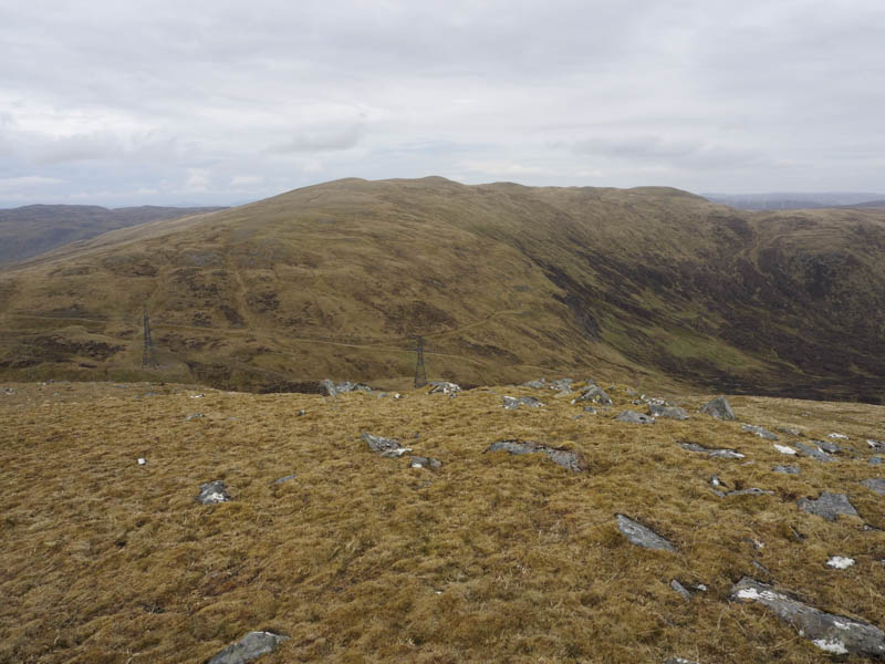
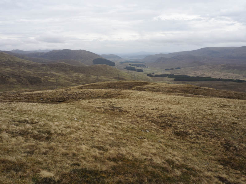
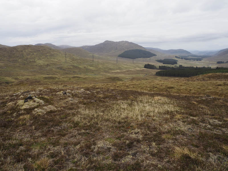
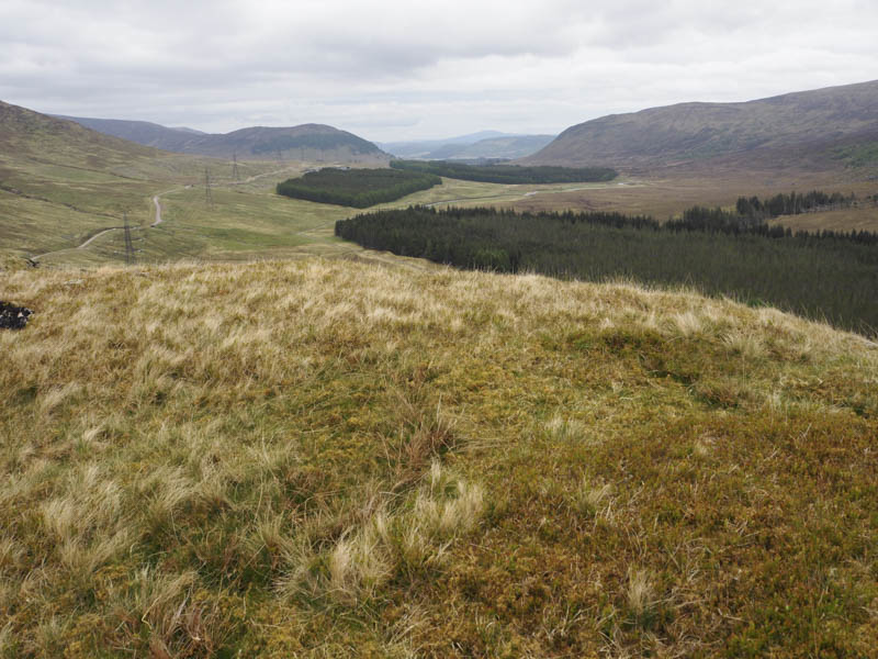
The descent south was initially on mossy ground churned up by ATV vehicles but lower down was an estate track in better condition. On rejoining the Corrieyairack Pass Track I walked west to its highest point and there left it and climbed gradually onto the summit of the Sub Simm, Carn Leac East Top, marked by an embedded rock.
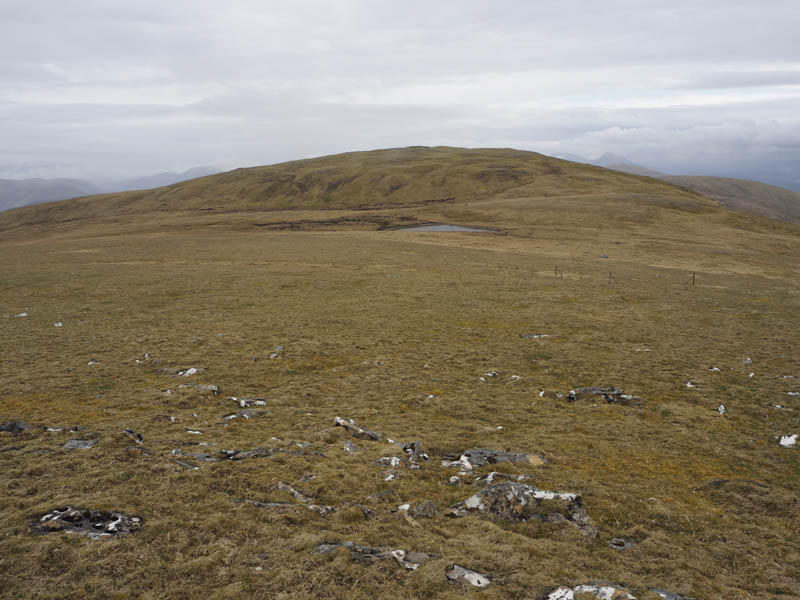
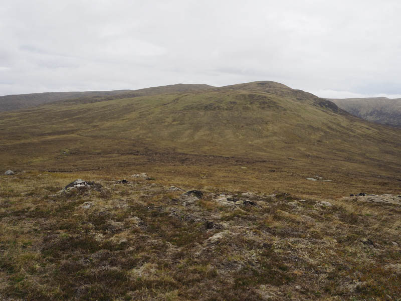
From there I descended west along an ATV track then made the easy ascent of Carn Leac, the highest point of this Corbett Top/Hump was marked by a cairn.
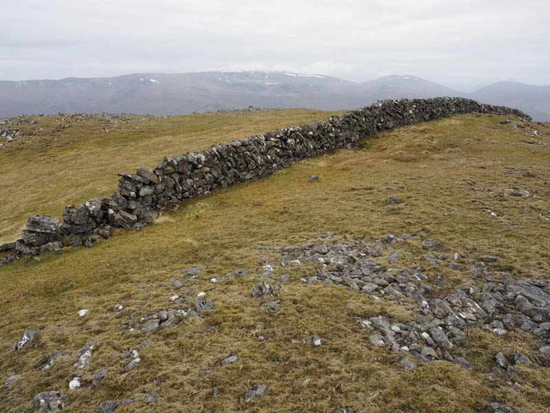
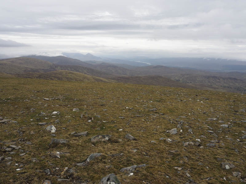
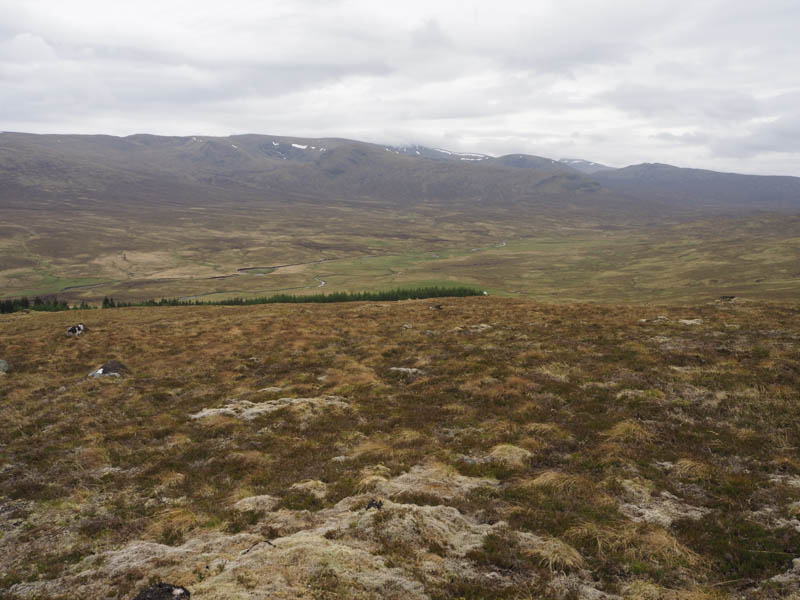
I returned to the East Top and continued east on the ATV track until it turned north. From there I descended south-east then climbed the Sub Simm, Sron a’ Bhuirich, the summit marked by a cairn.
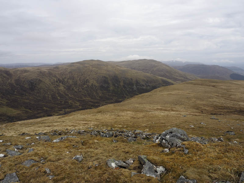
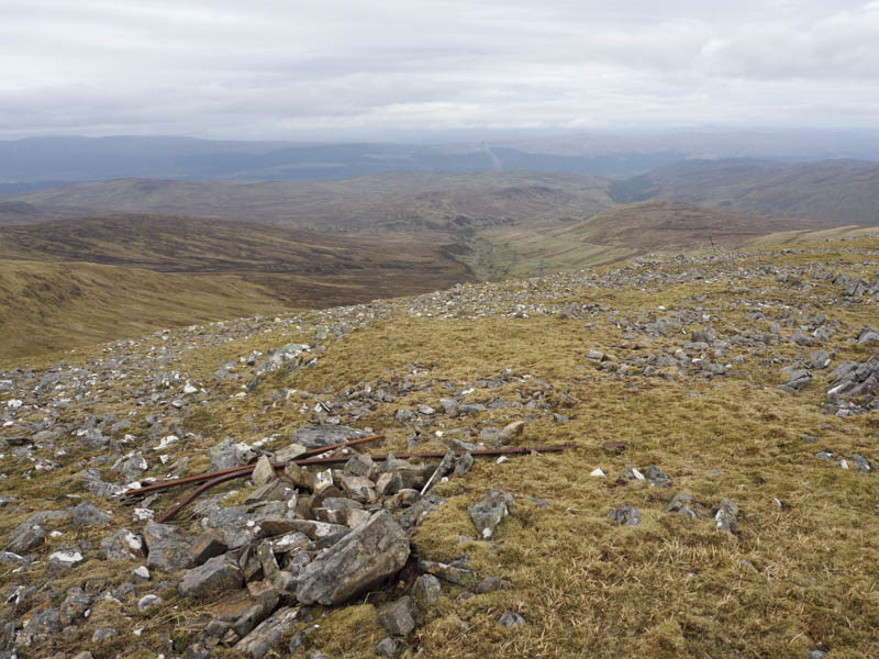
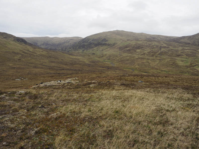
It was then a long descent south-east to the west side of Meallan Odhar and to avoid some of the peat hags I walked round to its south side before ascending this Tump. The highest point was a vegetated rock.
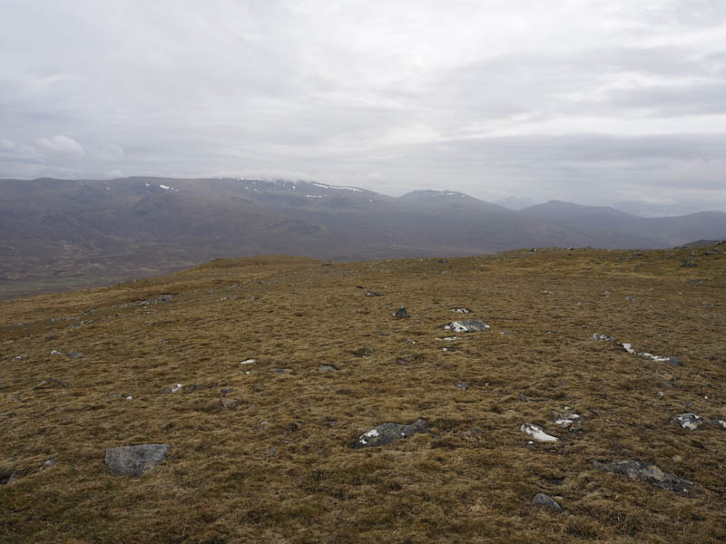
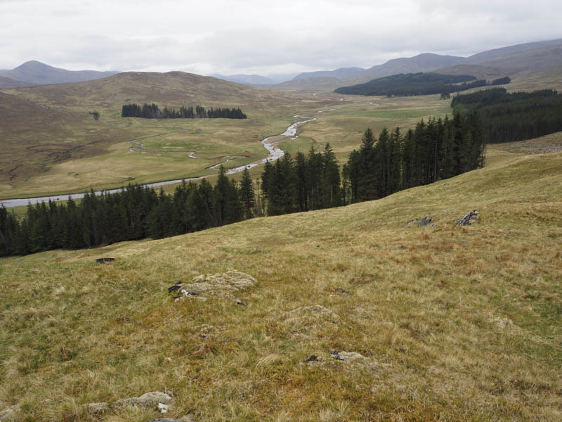
I left his top heading north-east across rough ground and peat hags to reach the path used earlier that day just west of the Allt a’ Mhill Ghairbh. It was then an easy stroll back to my car.
Creag Bheag – From east of Melgrave I drove a couple of kilometres east and parked on the grass to the south-west of Creag Bheag. I then climbed north-east, went through a gap in a copse of trees, then across grass and rocks and to the summit of this Tump marked by a rocky knoll. The return was by the upward route.
- Total time taken – 6 hours.
- Total distance – 18.75 kilometres.
- Total height climbed 880 metres.