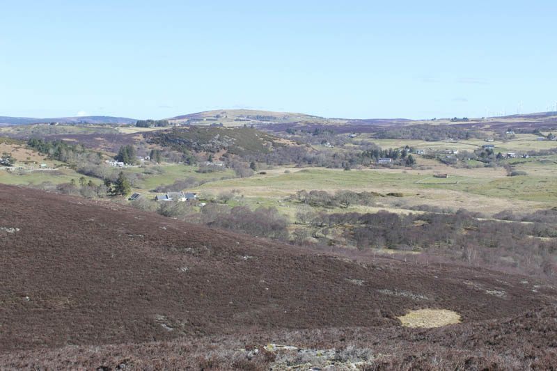
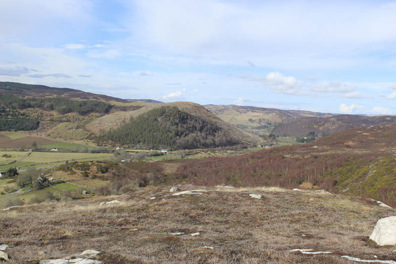
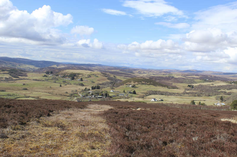
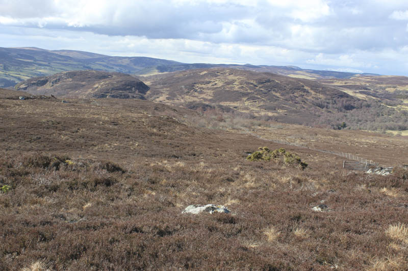
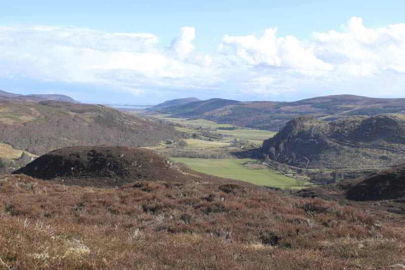
Cnoc an Fhithich – I left my vehicle in the car park in the village of Rogart, located on the A839 road linking the A9 west of Golspie with Lairg. I walked north-west along this road to immediately beyond the hotel and to a vehicle track signposted Rhiemusaig and Round Rogart Path. This vehicle track took me passed some buildings, including and a fairly new house. The track then came to an end to be replaced by a path running between a couple of stock fences and to a gate.
Beyond the gate the path crossed some short cropped heather and here I left it and walked through some well spaced trees, crossed a stock fence and went round the rocky west face of Cnoc an Fhithich. I then climbed through some longer heather and to the summit of this Tump which was just some heather.
The return was by the approach route.
- Time taken – 45 minutes.
- Distance – 2.75 kilometres.
- Height climbed – 75 metres.
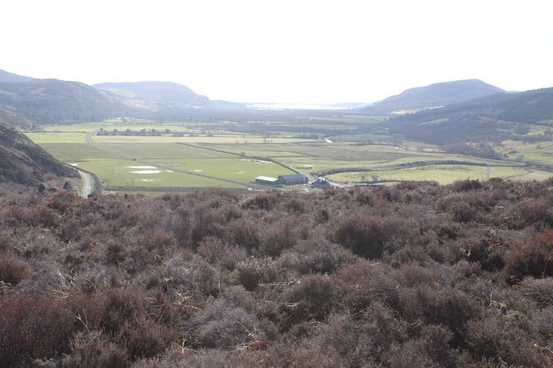
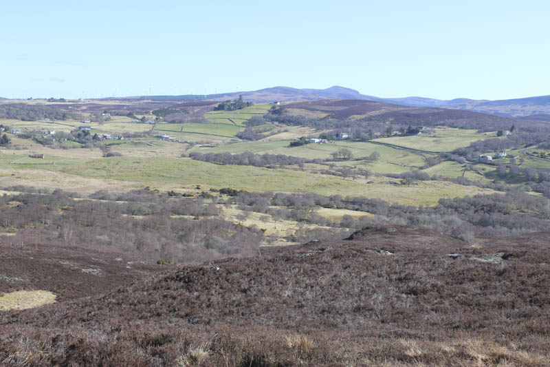
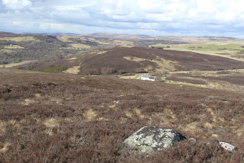
Creag a’ Bhata and Creag a’ Bhata South Top – After Cnoc an Fhithich I drove from Rogart up the minor road behind the hotel to just before the bridge over the Garbh-allt, parking beside the start of the vehicle track to Reidchalmai. After a few metres along this track I crossed a set of gates which was unnecessary as a few metres further on there was a newish pedestrian gate and a sign for the Round Rogart Path network.
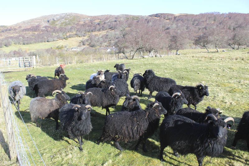
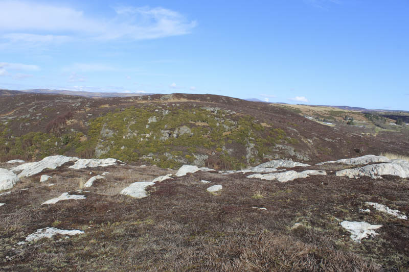
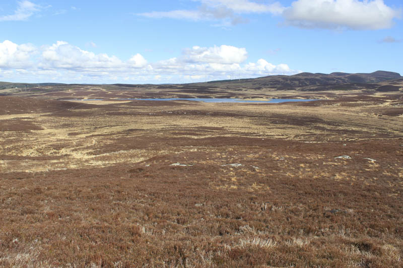
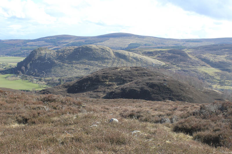
This path was in reasonable condition with just a few wet patches. I followed it west to the bealach between the two Creag a’ Bhata tops where I left it and climbed north and north-west through long heather. Prior to crossing a stock fence I met a female out searching for a cairn terrier which the previous evening had run off after some deer. More heather was crossed as I headed to the summit of the Tump, Creag a’ Bhata, marked by a cairn on an outcrop.
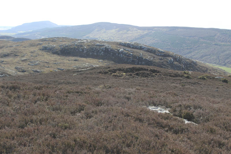
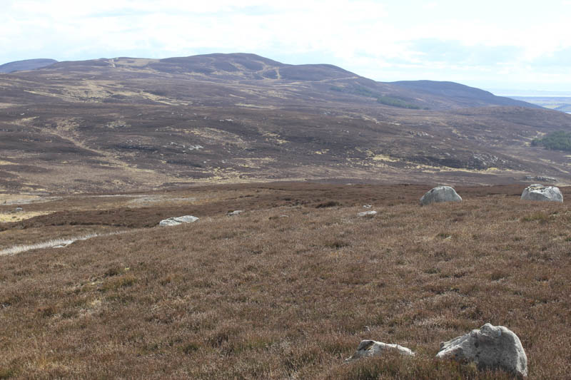
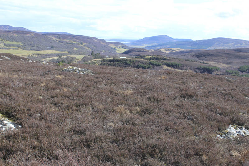
After a break taking in the views of the distant Ben Klibreck and Ben Armine I returned to the bealach and here met two other women out looking for the lost dog. I crossed the path, followed some animal trails then it was through more heather onto the summit of Creag a’Bhata South Top. I though the highest point of this Tump was an outcrop.
It was then back to the bealach before returning along the path to my car. Just before reaching it I met another female who advised me that the dog had been found.
- Time taken – 1 hour 20 minutes.
- Distance – 2.75 kilometres.
- Height climbed – 140 metres.
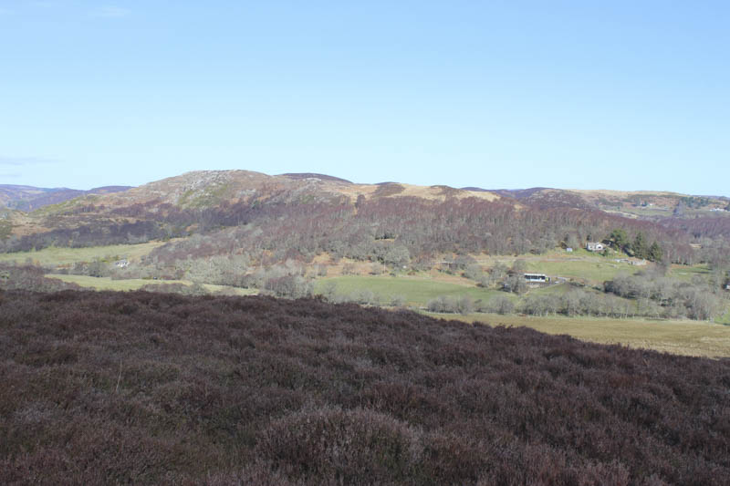
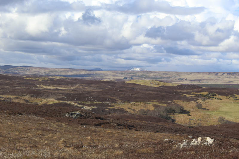
Cnoc Bad a’ Chrasgaidh and Cnoc-an-t-sidean – The starting point for these two hills was St Callan’s Church, located to the north-east of Rogart. I parked on a wide section of carriageway at the side of this single track road then walked along the track between the church and a nearby house and onto an outbuilding where I lost the line of the track. I later found the track, which appeared unused, after walking along a grassy field and crossing a deer fence. This led to a gate in the deer fence which was blocked by gorse bushes. A short diversion south allowed me to re-cross this fence, avoiding the gorse bushes, and return to the east side of the gate which was a bit pointless as the track here no longer existed.
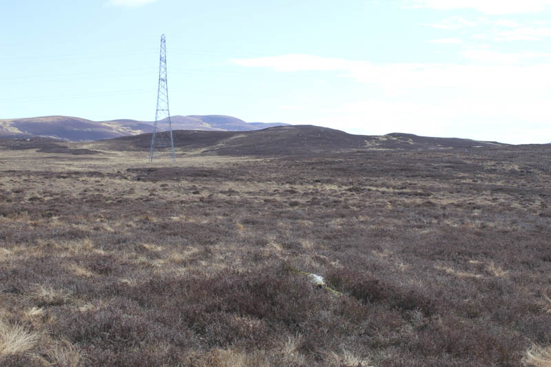
I then walked south-east and despite the rough vegetation and in places waterlogged ground made reasonable progress to reach the power lines. I then climbed the Tump, Cnoc Bad a’ Chrasgaidh, marked by a heather/mossy outcrop.
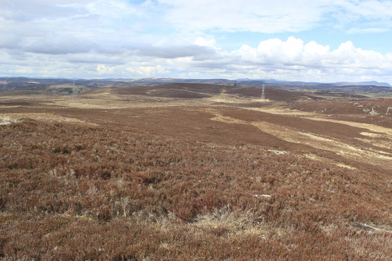
From there I descended north-west across mixed vegetation and felt the pace had slowed here possibly due to rougher underfoot conditions. After passing under the power lines I climbed the Tump, Cnoc-an-t-sidean, firstly visiting the NNE top which was as high as the summit, marked by an embedded boulder.

The descent west took me through some trees, over a few fences and gates to reach the minor road north of the cemetery followed by a short road walk back to the start.
- Time taken – 1 hour 45 minutes.
- Distance – 4.75 kilometres.
- Height climbed – 165 metres.
Creag na Croiche – I parked on the verge of the single track road, west of Little Rogart, and walked briefly west to avoid a fenced off area of woodland. I then climbed steeply north through the trees and dead bracken on dry dirt tracks used by trail bikes. Once clear of the trees I crossed the stock fence and climbed to the summit of Creag na Croiche. The highest point of this Tump was marked by an outcrop.
The return was by the ascent route. A couple of youngsters on trail bikes were using the track and also doing ‘wheelies’ on the road.
- Time taken – 35 minutes.
- Distance – 675 metres.
- Height climbed – 50 metres.
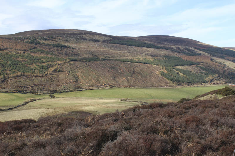
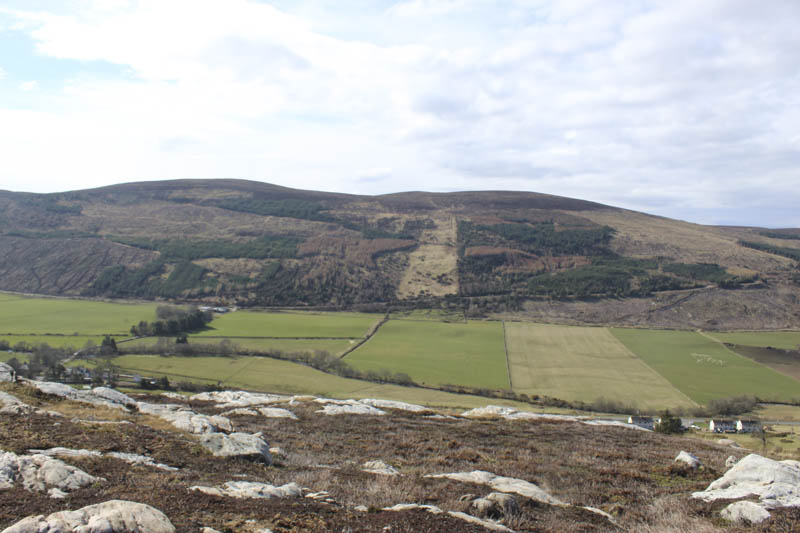
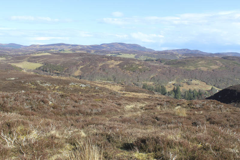
Creag Bhreac – The starting point for the ascent of this Tump was the A839 Rogart to Lairg Road west of Tressady. I left my car on rough ground just inside the gate leading to the vehicle track for Ardichancherr and walked briefly north along this track. I then climbed fairly steeply east through the well spaced mature trees but higher up was confronted by a game bird enclosure and pond.
A rough descent north took me to a vehicle track then I continued in the same direction on a second track, neither marked on my map. An ATV track was then followed east to the west top of Creag Bhreac where it came to an end. There were a few of these tracks in the area. I then climbed to the summit of Creag Bhreac marked by some soil beside an outcrop.
It had been a mainly sunny day but there were now a few dark clouds forming to the south and west so I didn’t linger here and followed ATV tracks back to the vehicle tracks beside the pond. It appeared that this area of water may have been used for duck shooting. A vehicle track led into a field then it was across some rough ground, a few gates and fences, to reach the vehicle track just north of where I had left it and my car.
- Time taken – 1 hour 10 minutes
- Distance – 3.5 kilometres.
- Height climbed 155 metres.