Cnoc Odhar – I parked at the side of the access road leading to Cambusavie Farm which was located on the south side of the A9 south of Golspie. I walked briefly west on the A9, (several sharp bends in this section of the road) crossed it into a field and followed a track west before climbing north across the grassy field to a gap in a fence and dyke. Here a vehicle track going north-west led to a couple of gates in a new deer fence.
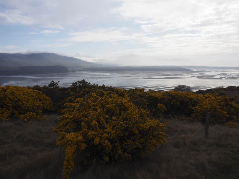
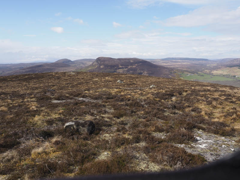
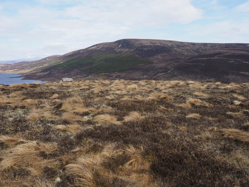
Once through the pedestrian gate the track soon came to an end at an area where new trees had been planted with the usual holes. Beyond these young saplings I climbed west across heather, over or round a couple of knolls, to reach the summit of the Tump, Cnoc Odhar, marked by some heather. By this time the early morning cloud was lifting so I had some views.
I retraced my route as the majority of the cloud cleared.
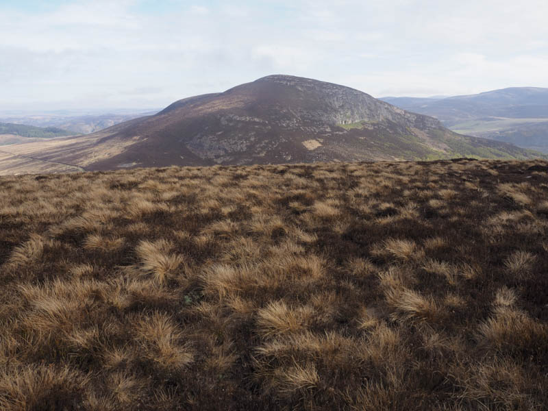
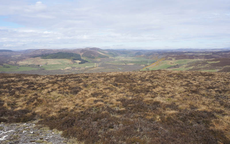
Mound Rock, Silver Rock, Aberscross Hill and Creag a’ Mhor-bhathaich – The start of this walk was the A839 Golspie to Lairg Road immediately north-west of the power lines south-east of Morvich where I was able to get my car off the road. I crossed the road, passed through a stock gate, and walked along a vehicle track in a grassy field towards a deer fence. The track later disappeared but I continued east through some wet ground to beyond the end of the deer fence where the vegetation consisted mainly of heather. I climbed to the cairn on a knoll marking the summit of the Tump, Mound Rock. It was sunny with a cold breeze but I sat here for a while admiring the views.
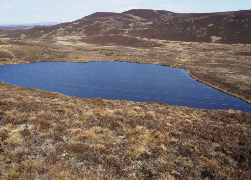
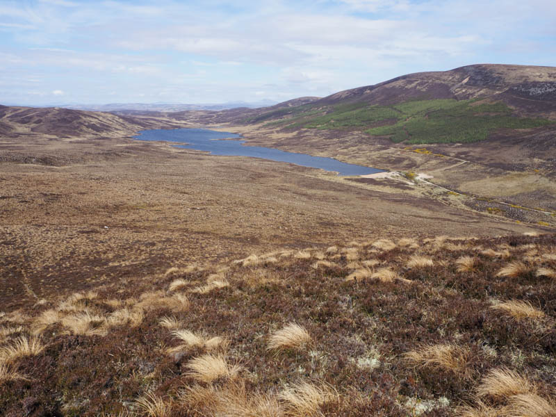
With the fine weather I decided to make this trip a circular walk so descended north along a deer fence. Initially it was easy walking but above Loch a’ Bhiocair the ground was steep and churned up by deer.
On reaching the east end of the loch there were various fences to contend with. Initially I crossed an old stock fence then a section of deer fence that had collapsed and this took me to a couple of gates in a new deer fence. Once through the pedestrian gate there was another old deer fence to cross.
Once beyond these obstacles I walked through some wet and soft ground, then some new tree plantings with the usual holes onto the west ridge of Silver Rock. There was a slight dip in the ridge before a steeper climb to gain the summit of this Tump. The highest point was just some heather as the cairn was apparently lower.
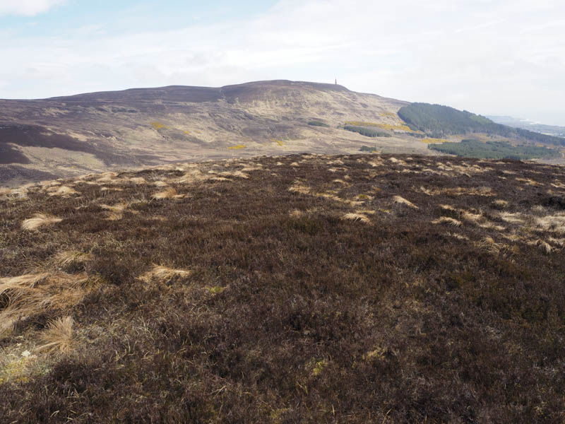
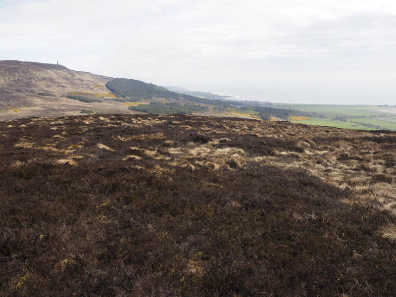
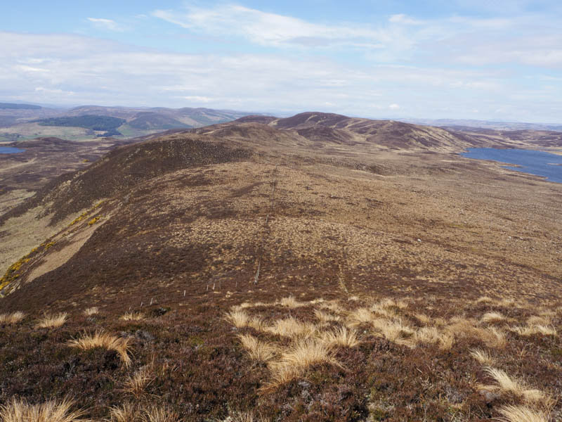
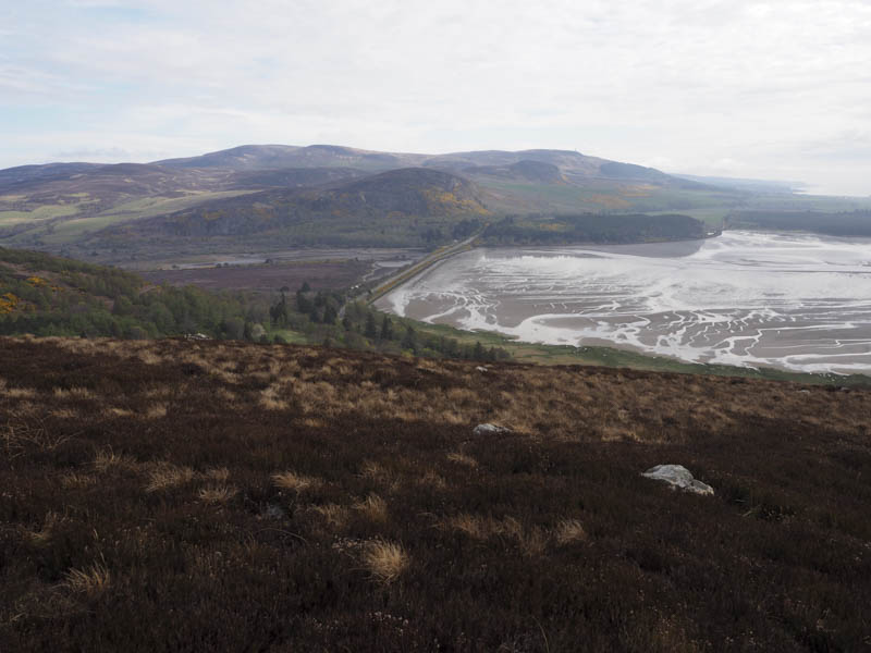
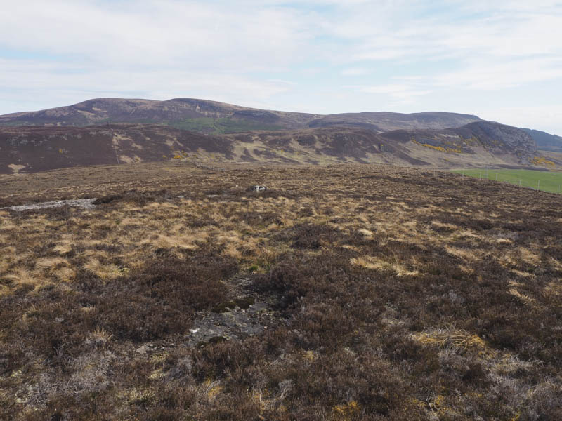
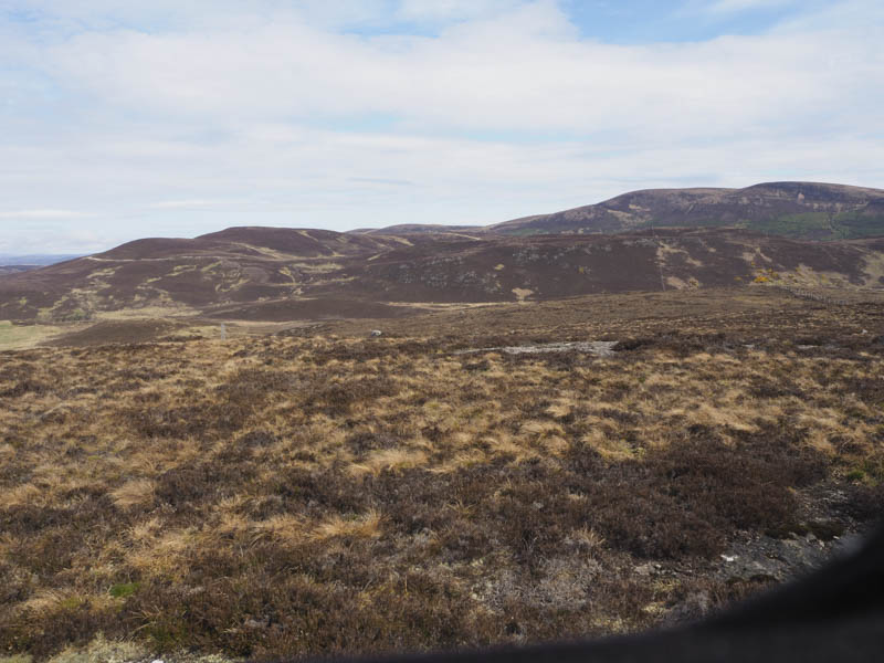
I returned along the ridge on an ATV track, probably used during tree planting, and this took me over a knoll then north-west below the ridge line. When the track turned south I continued north-west through the rough vegetation and the recently planted trees to a deer fence. Once across it I headed onto a knoll then turned west to ascend Aberscross Hill. The summit of this Tump was just some heather although I also visited a nearby outcrop which was apparently the same height.
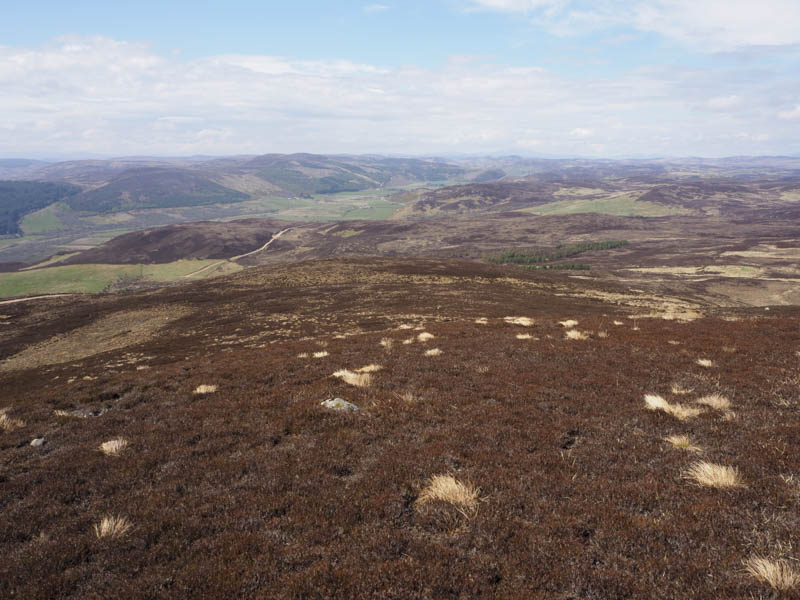
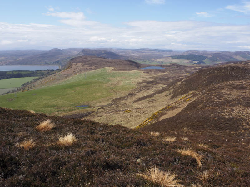
The descent west took me through some heather to a vehicle track, not shown on my map, which I had crossed earlier on the ascent of Aberscross Hill. The track was followed north but I later left it and walked down the side of a deer fence to another track. (the tracks may have been connected) I passed through a gate in the deer fence, went through a wooded area, then a second gate, to a junction of tracks. Here I left them and ascended through heather onto Creag a’ Mhor-bhathaich, the highest point of this Tump was an outcrop beside the cairn.
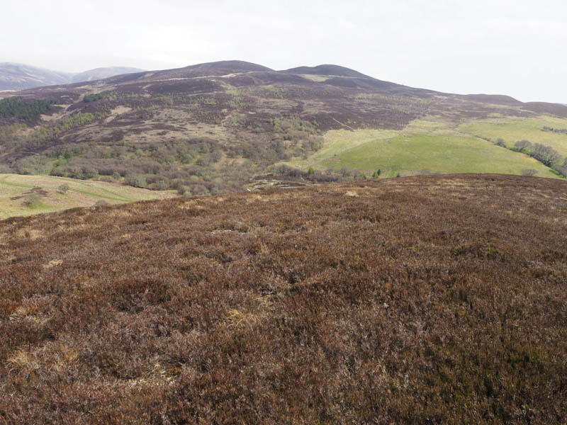
I returned to the junction of tracks then followed other tracks to return to the A839 just north of my starting point.
- Total time taken – 5.5 hours
- Total distance – 13.5 kilometres.
- Total height climbed – 660 metres.