Maiden Pap, Smean, Carn Mor and Conachreag – Accompanied by my brother we headed north up the A9 and into Caithness. Just before the village of Dunbeath I drove west along the single track road to the end of the public road at the bridge across the Berridale Water where there was a small parking area.
We crossed this bridge and walked towards Braemore Lodge then round the signposted route avoiding this property and onto the estate track going west.
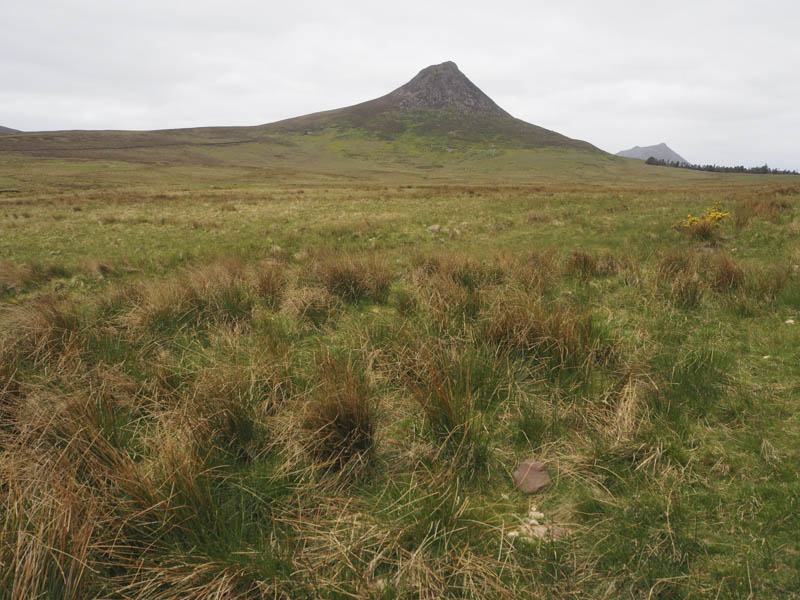
After a couple of kilometres and at a copse we left this track and climbed south, initially beside the trees, through heather and some boggy ground which was mostly dry. On reaching the foot of a gorge it was a steep climb south through heather and grasses and higher up rock to reach the summit of the Marilyn, Maiden Pap.
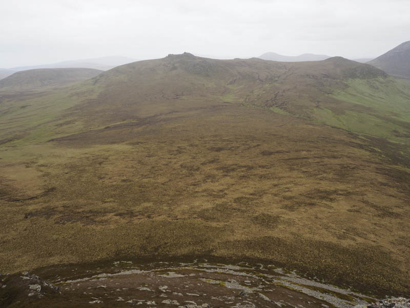
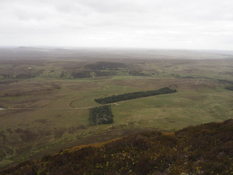
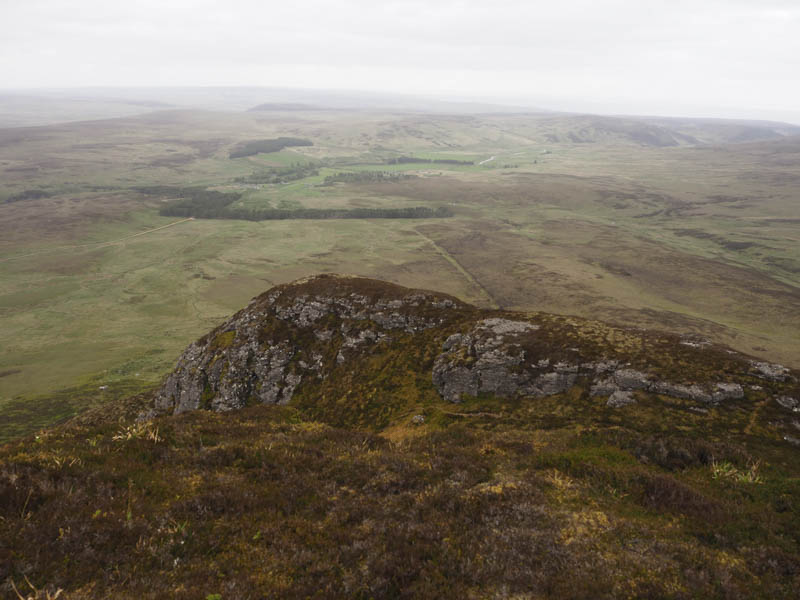
After a break here we returned to the top of the gorge and descended south, easier going on this side of the hill with traces of a path through the heather. Part way down we left the path and walked south-west over more heather until the ground levelled out. Here the underfoot conditions consisted of bog and tussocks.
Beyond there was more heather but shorter as we climbed Smean and onto its rocky tor marking the summit of this Marilyn.
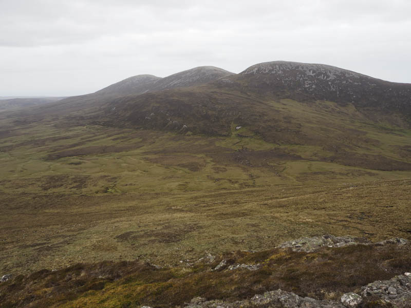
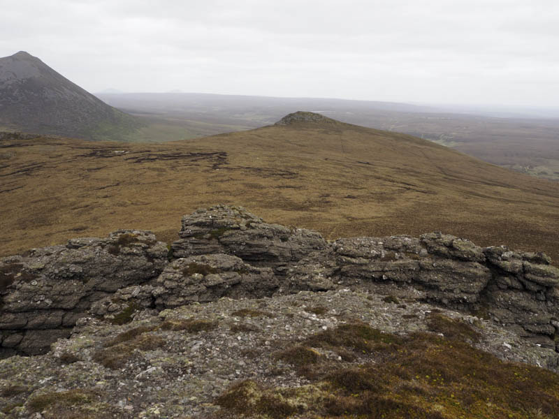
The descent north-west was followed by a short climb onto Carn Mor. The highest point of this Tump was a stone amongst the heather.
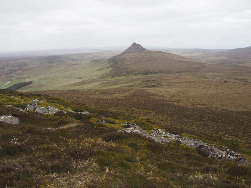
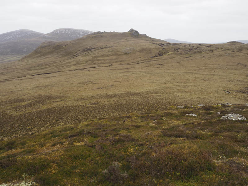
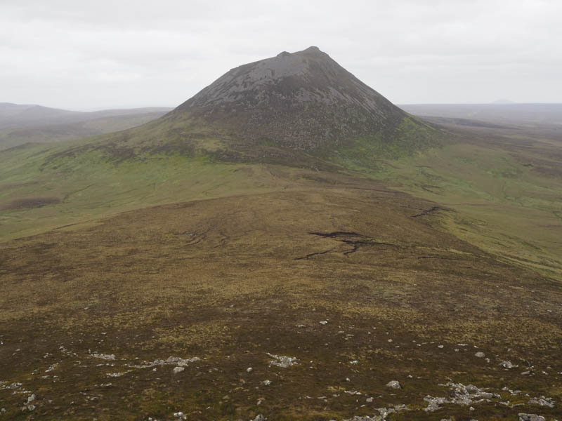
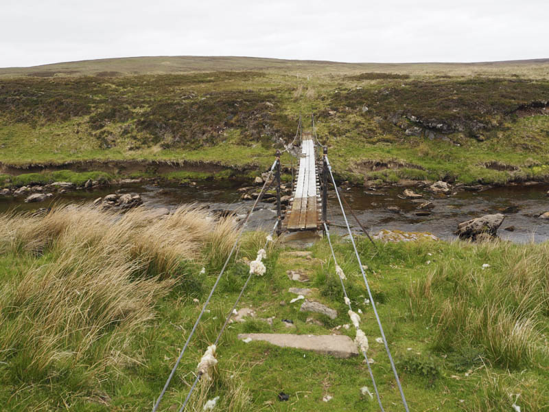
From there we descended NNW through more heather and a few boulders then lower down grass before reaching an ATV track. This led to the property at Corrichoich which was under renovation. Here we crossed the Berridale Water on an unstable footbridge with a few rotten planks and one partly missing.
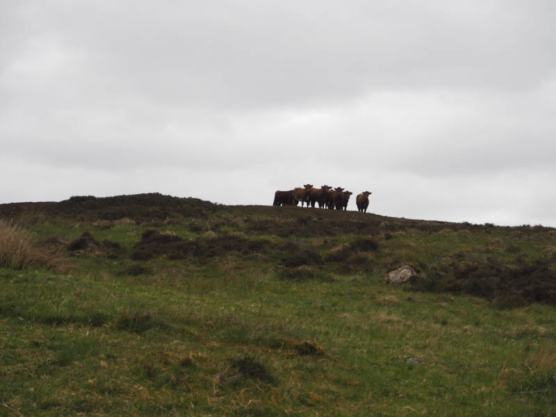
The next section of this walk was rough going keeping north-west of the stream and passing a herd of cattle.
Eventually the estate track on the south side of Conachreag was reached and I made the short diversion to ascend this Tump, the summit being some grass, before continuing along the track back to the start.
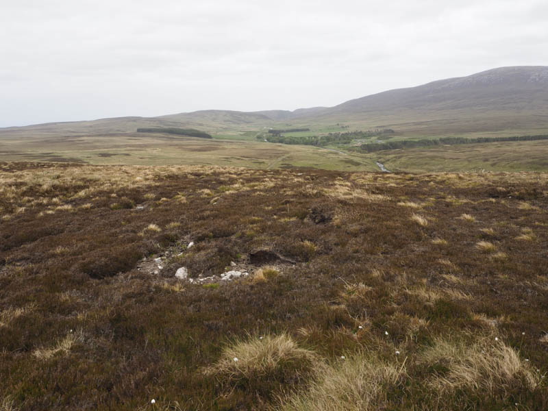
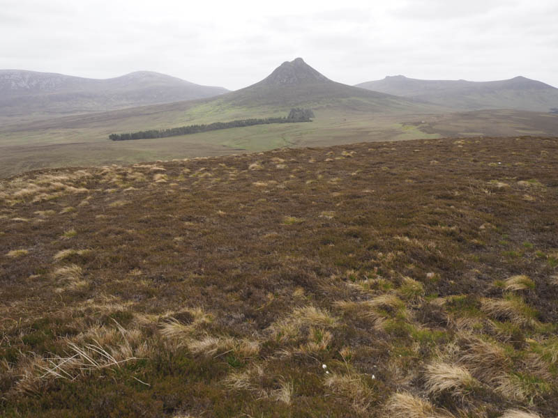
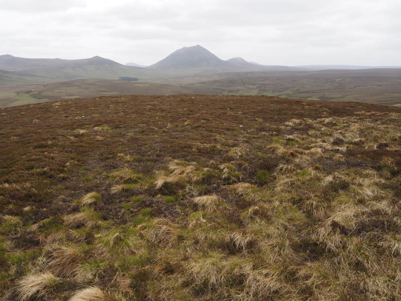
Cregan na Gearra and Cnoc na Feadaige – After the hills further west I drove a couple of kilometres east from Braemore and parked at an old quarry on the north side of the road. I then climbed north along the edge of an old fence, through heather and tussocky ground, to the summit of Creagan na Gearra. The highest point of this Tump wasn’t obvious.
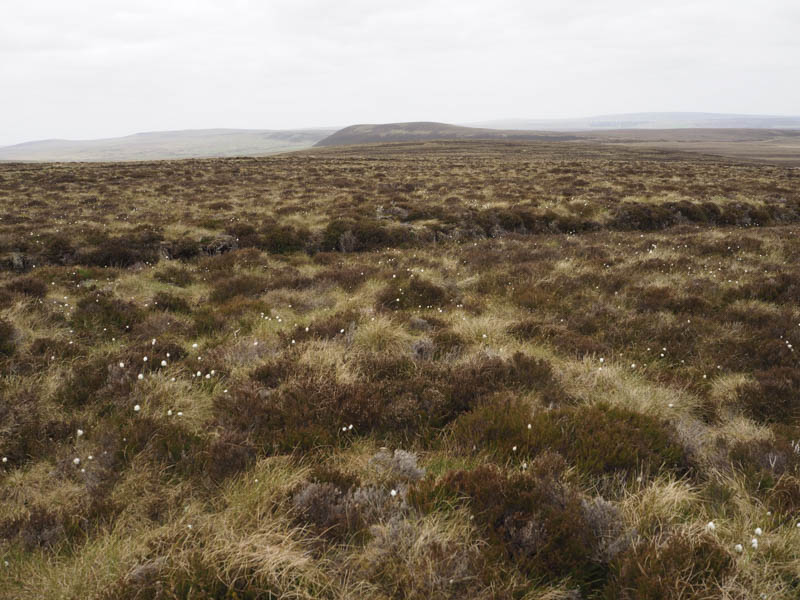
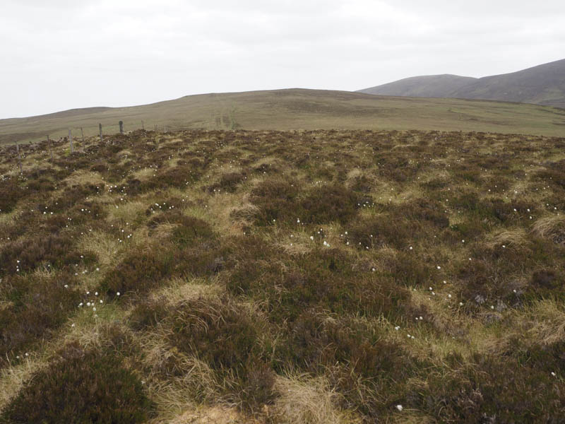
I returned to the quarry, crossed the road, and walked SSE on what would usually be a boggy ATV track but was relatively dry on this visit. The track led to a metal fence post but this didn’t appear to be the summit of Cnoc na Feardaige. The highest point of this Tump seemed to be further west.
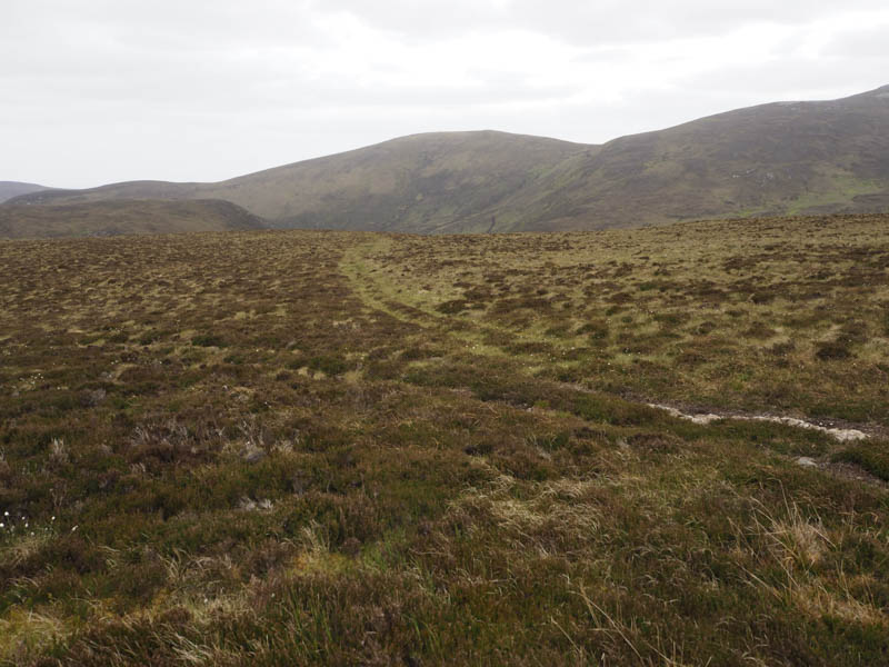
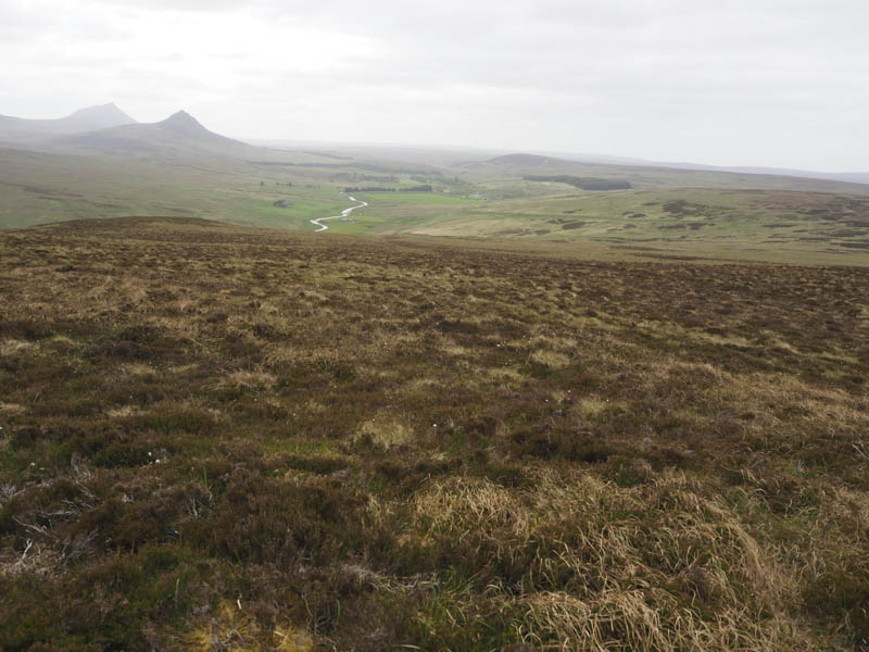
After visiting it I returned to the start by the ascent route.
- Total time taken – 6.75 hours.
- Total distance – 17 kilometres.
- Total height climbed – 765 metres.