I drove south on the A940 Forres to Grantown Road to immediately before Glenernie and the bridge over the River Divie. Here I headed east along the minor road to Tomcork Farm. I had read it was possible to continue to the wind farm and this was still the case although it was along a hard core track. After over two kilometres I came across a cattle grid and the entrance to Berry Burn Wind Farm where there were a number of signs. (NJ059452) I left my car at the side of the track, west of the entrance.
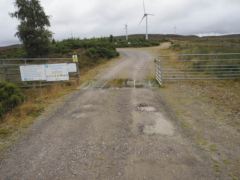
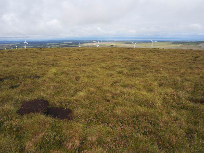
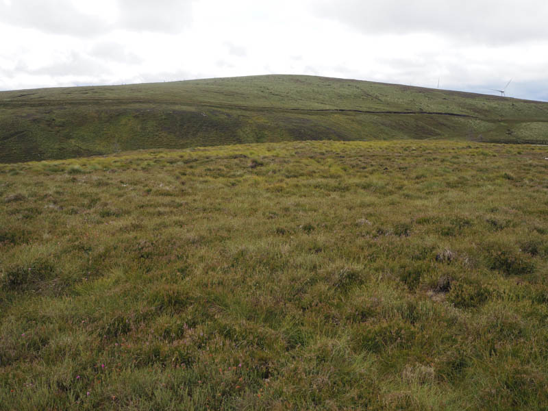
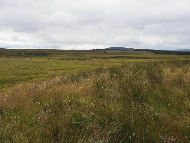
My map didn’t show the wind farm but I was aware the start of the access road through it was to the north with an estate track to the south, indicated on my map. Neither seemed suitable for the ascent of Carn Ghiubhais without a detour. I therefore crossed the cattle grid and headed east along an access track to a wind turbine where the track came to an end. I then walked south-east on what appeared to be a path but it soon disappeared then it was across rough and at times boggy ground, crossing the main wind farm road, and climbing to the summit of Carn Ghiubhais. The highest point of this Tump appeared to be beside a bog pool.
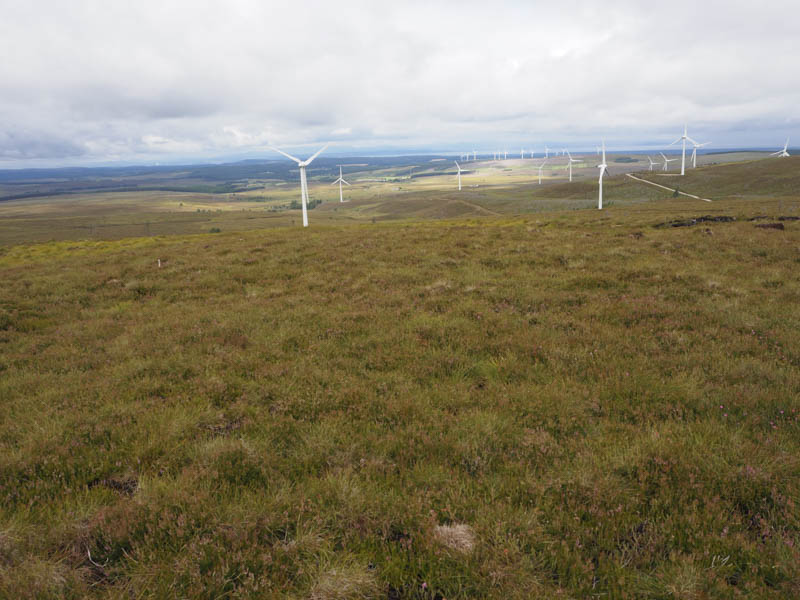
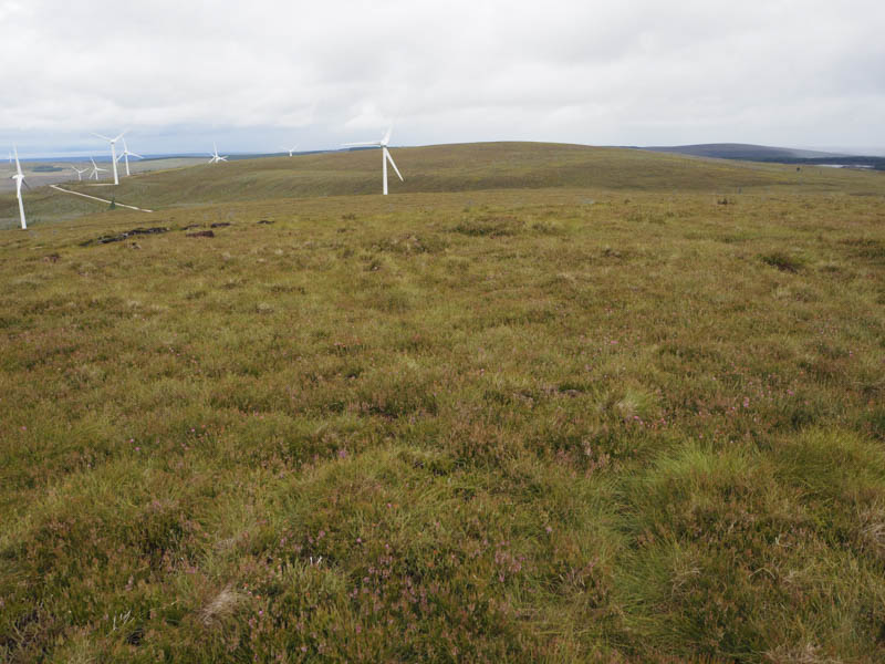
The descent south was initially across short vegetation then south-west through well spaced dead small trees with numerous hollows to join the wind farm road which took be round to the south-west side of Carn Kitty North Top. It was then a short walk, there were several drainage channels, to the summit of this Tump which was probably a heather and moss covered outcrop.
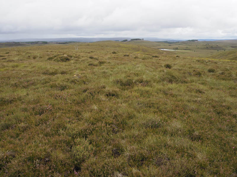
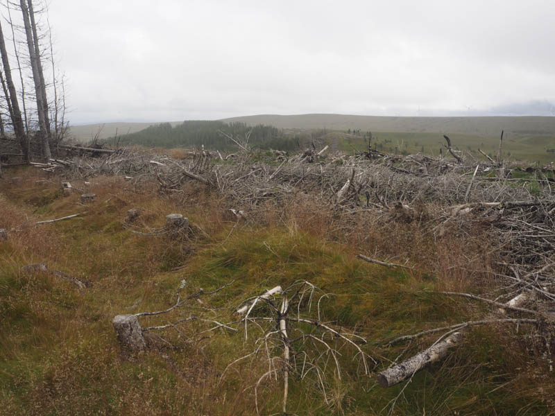
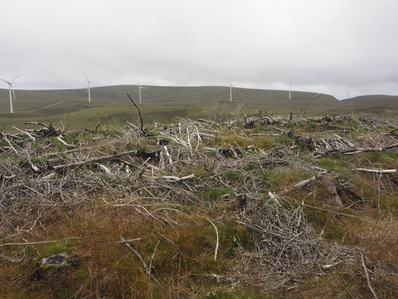
My next hill was out to the east and was across mixed vegetation, more drainage channels, an old estate track and a gorge holding the River Lossie. I then climbed to the summit of Meikle Ben Shalag which was apparently in amongst the trees. However some of them around the summit had been harvested so I crossed the brash to beside a tree stump which appeared to be the highest point of this Tump. The trees immediately to the east had been blown over so it wasn’t possible to be 100% sure it was the highest point.
I descended south-west through very rough vegetation, crossing the River Lossie twice and Glen Trevie before briefly joining a wind farm track. It was then through more rough vegetation as I climbed to the summit of the Tump, Carn Kitty. The highest point appeared to be some heather south of the trig point.
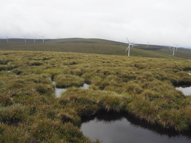
The descent north-west was through soft mossy ground then some rough vegetation before joining the wind farm track which was followed to north-west of Carn Kitty North Top. Here I located the estate track shown on my map which was now little used if at all and this took me back to near the start with the final section along a wind turbine access track to the entrance gate.
- Time taken – 5.25 hours.
- Distance – 14 kilometres.
- Height climbed – 495 metres.