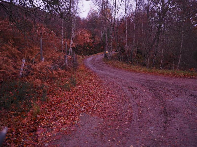
Dawn was approaching as I arrived and parked in the hamlet of Lochluichart, located on the A832 Garve to Achnasheen Road. I then walked a short distance north along the main road to the start of the vehicle track (grid ref NH330634) that headed up through the trees on the west side of the Allt Ceann Loch Luichart, later crossing the stream to a junction of tracks.
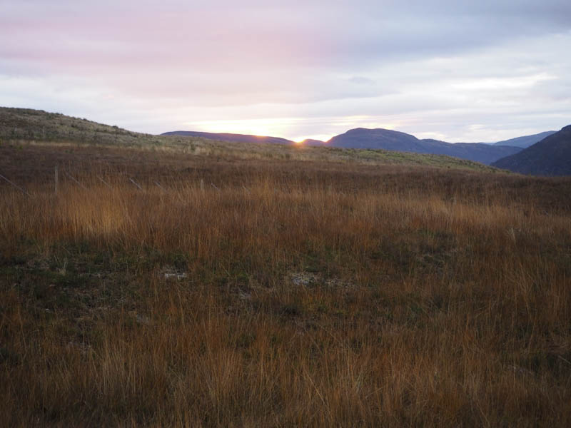
Here I went left and headed up the vehicle track on the east side of the stream. As I progressed up this track the sun rose but cloud cover prevented its appearance until later that morning.
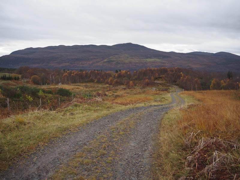
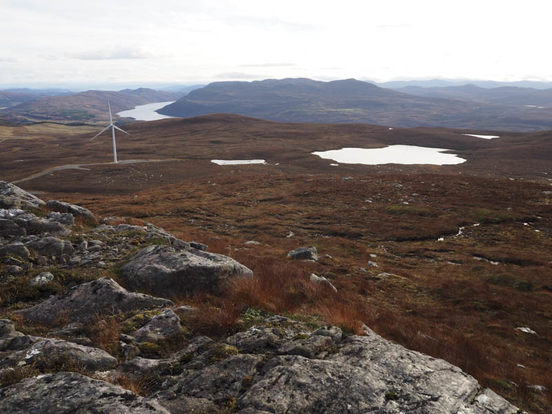
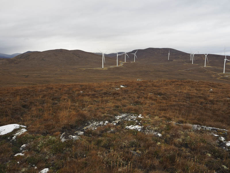
The track led passed a hydro electric generating station then north-west towards the Lochluichart Wind Farm. Here I was overtaken by a couple of vehicles which had been parked at the generating station. Later I spotted them at one of the wind turbines which wasn’t in operation.
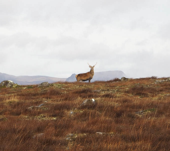
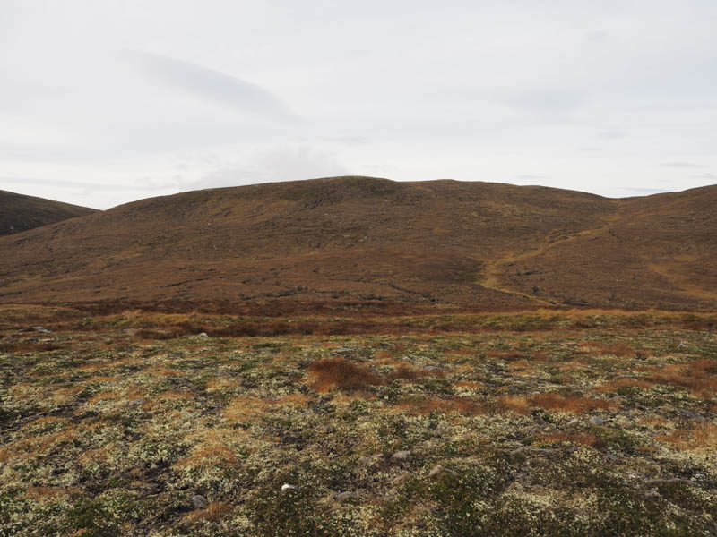
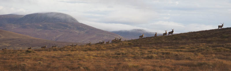
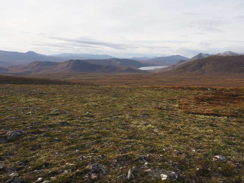
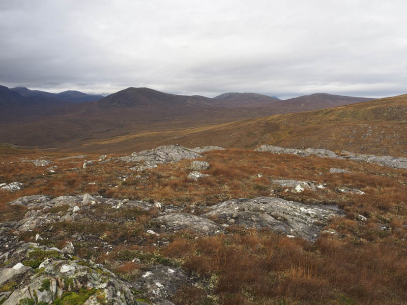
The main track through the wind turbines ran north-east before tuning north and after around three kilometres I left the main track and walked along the track to wind turbine 306. From there I climbed through rough vegetation, mosses and deer grass to the summit of the Sub Dodd, Meallan Caoruinn, where young stags were feeding.
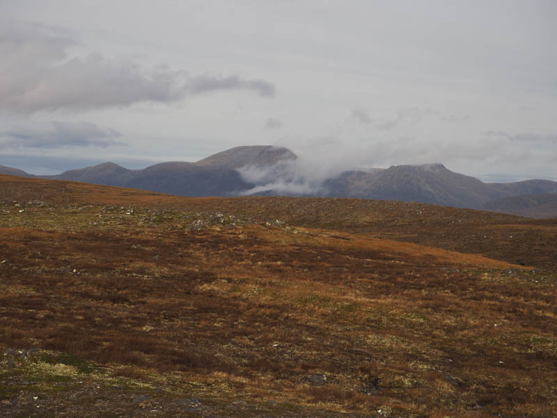
It was calm and mild so I took a break here before descending west, the stags were still nearby, to the col with Meall nan Caorach before climbing to the summit of this Sub Simm which was marked by an outcrop.
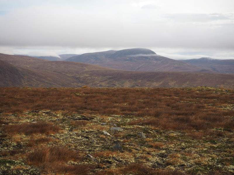
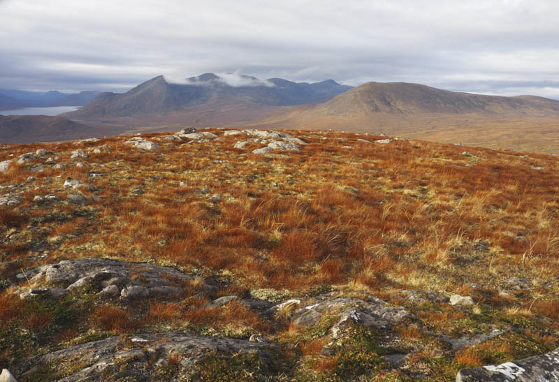
I then descended south and climbed Meall Mhic Iomhair, the highest point of this Tump being an outcrop ten metres west of the cairn.
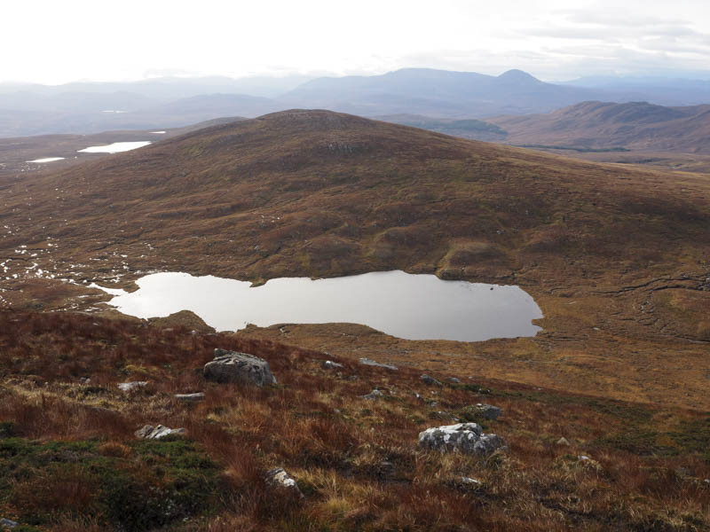
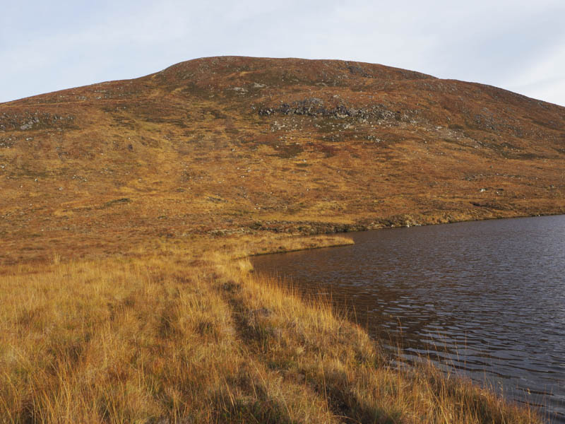
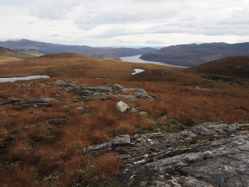
It was a steep descent south-west later crossing a quad vehicle track then some wet and boggy ground to the north of Loch Mhic Iomhair.
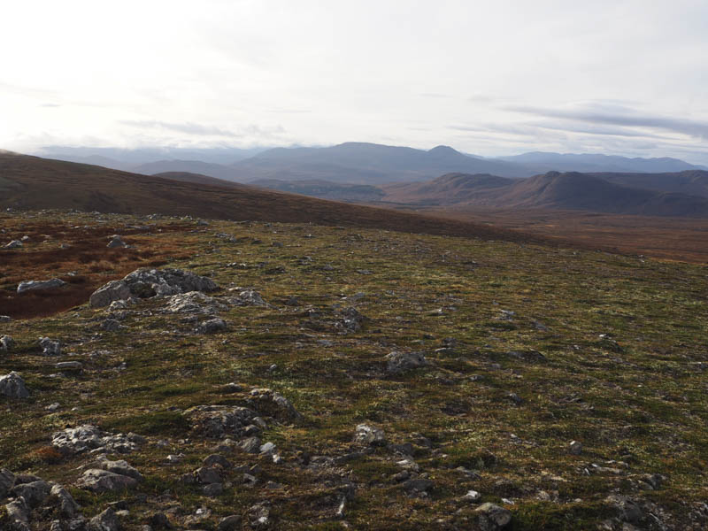
From there I climbed south onto Meallan a’ Mhuthaidh Mor, where an outcrop marked the highpoint of this Hump. I also visited the summit two hundred metres to the south which was possibly equally as high but there was no sign of the small cairn that was supposed to mark its highpoint.
The descent south from the South Top of Meallan a’ Mhuthaidh Mor involved two rather steep sections to gain the wet and boggy col with Meallan a’ Mhuthaidh Beag before the climb to the summit of this Tump, which was marked by an outcrop.
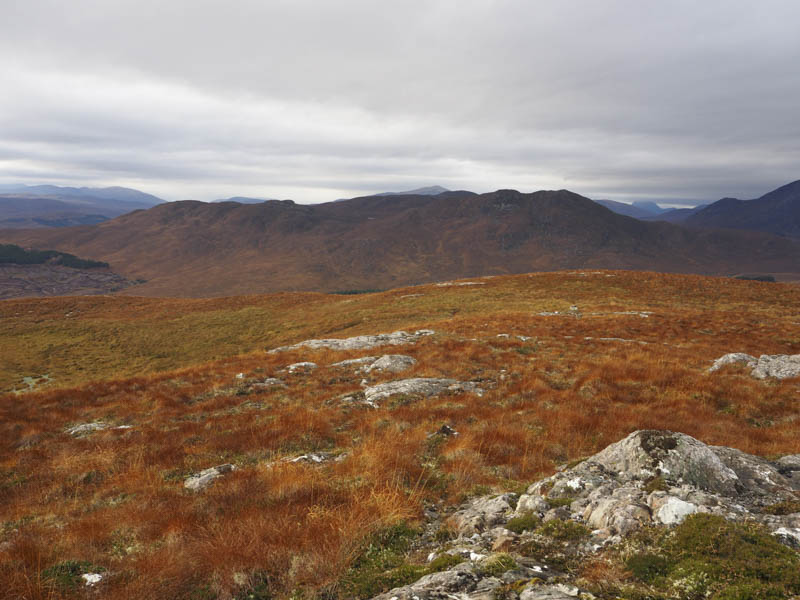
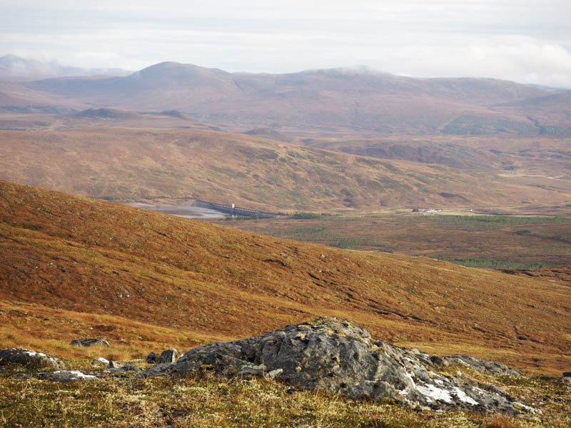
From there I headed east to the south of Loch nam Fiadh crossing some rough and wet ground en-route to Creag Mhor. Once across this slight rise the descent took me south-east through some long vegetation and a few boulders to the deer fence west of the Allt Ceann Loch Luichart and the crossroads junction from earlier that morning. I crossed some wooden slats in the deer fence then made the short walk down the vehicle track to the main road and Lochluichart.
- Time taken – 6.5 hours.
- Distance – 17.5 kilometres.
- Height climbed – 850 metres.