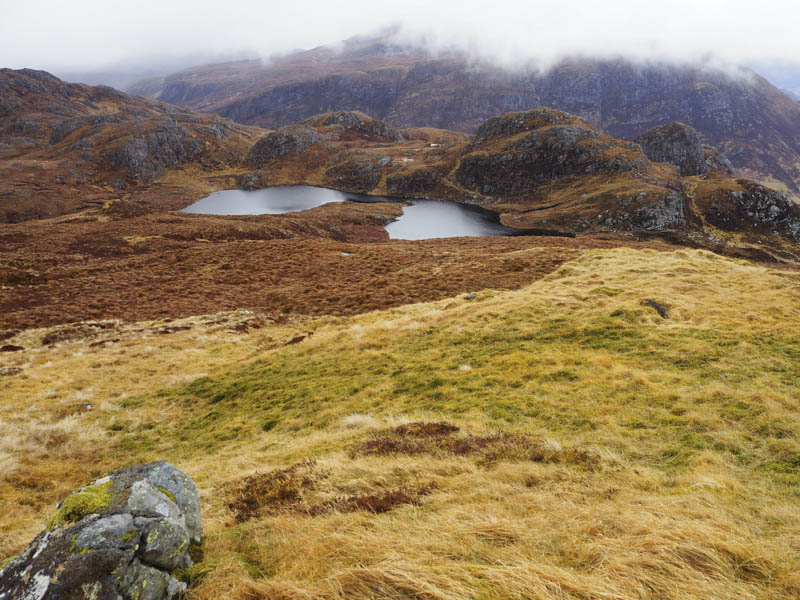
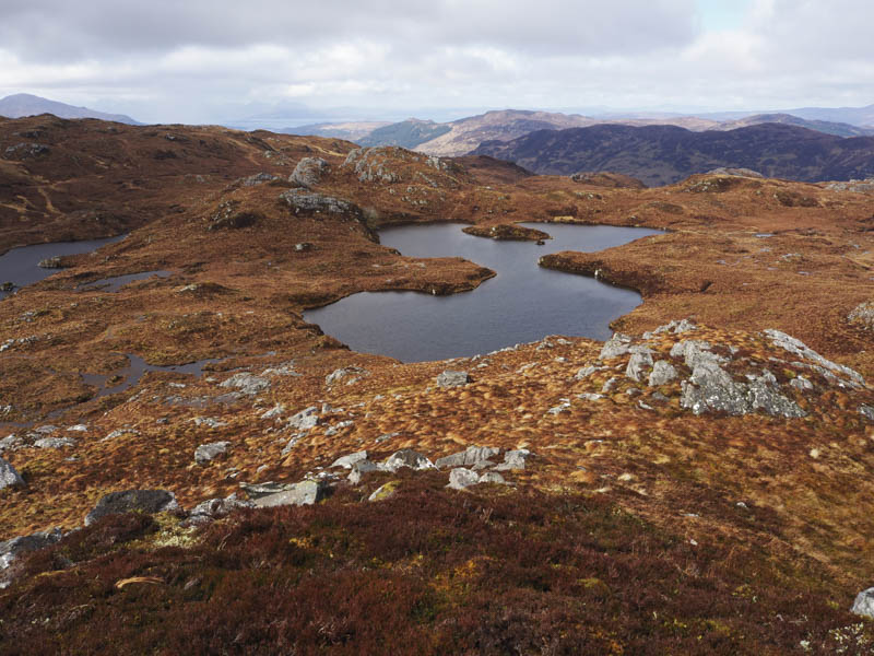
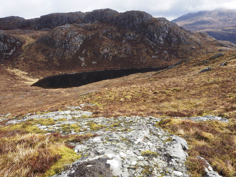
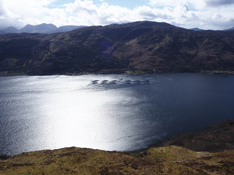
I left my car beside the Viewpoint at Carr Brae, on the old road between Inverinate and Dornie in Lochalsh, crossed the road then a stock fence and entered a field containing sheep and their lambs. Once across the field there was another stock fence followed by a stream then I was in amongst some well spaced trees and dead bracken. This was replaced by grass and heather as I zigzagged uphill on what appeared to be a section of an old overgrown stalkers paths. It was a steady climb and as I approached the summit of Creag Reidh Rainich the cloud lowered. The highest point appeared to be a grassy/mossy knoll.
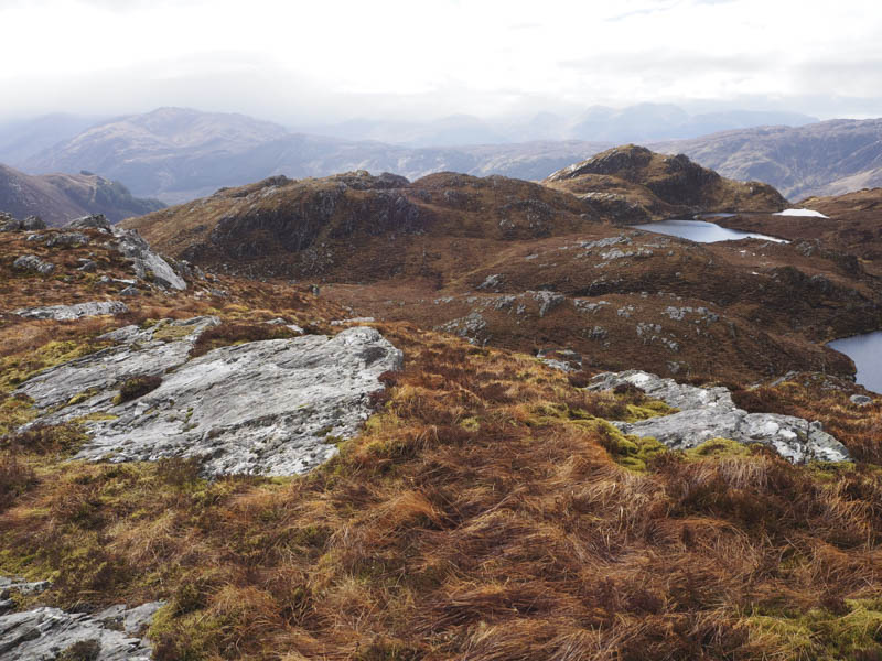
While sitting here the cloud lifted and it seemed that the North-West Top was possibly higher so I ventured out there but this wasn’t the case, but I did get better views.
I returned to the main summit then walked out to the North Top which may have been as high.
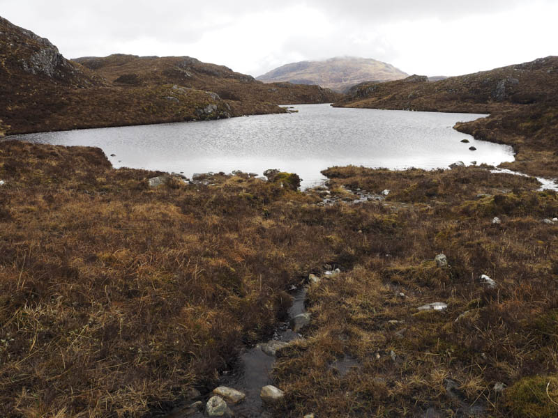
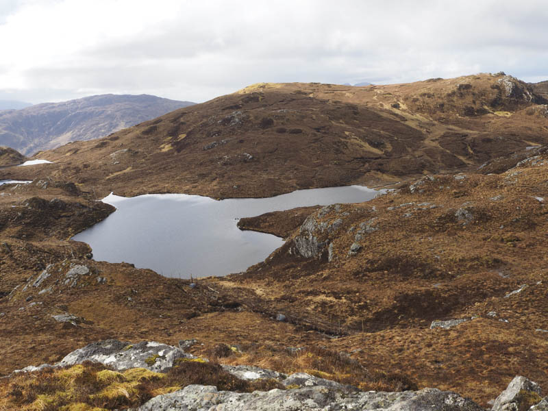
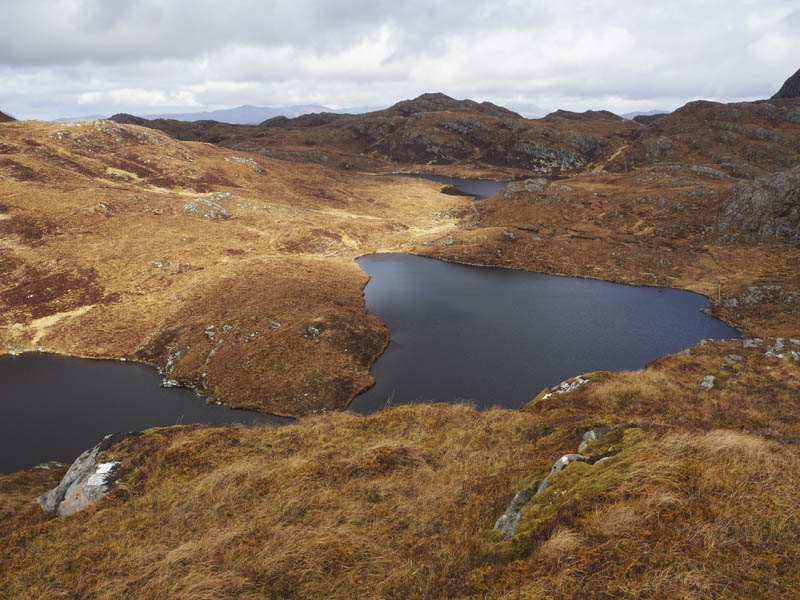
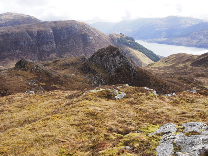
From there I descended round some rocks to the west end of Loch na Faolaig then it was a short steep climb onto the obvious summit of Boc Craoibhe-chaoruinn West Top marked by a few boulders on a mossy and heather clad outcrop. (Classed as a Sub Tump as there was less than 30 metres drop on all sides)
The descent north-east to above the west end of Loch na Craoibhe-caoruinn was followed by a climb north onto the west ridge of Carn Glas and to its rocky summit. (Another hill with less than 30 metres of drop on all sides)
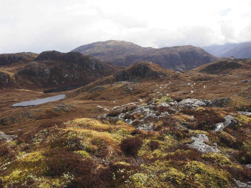
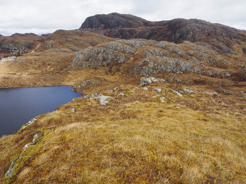
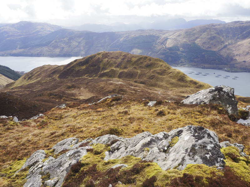
That was as far north I was headed so I wound my way south and south-east through some rough ground and climbed Boc Craoibhe-chaoruinn. The highest point of this Tump was a small cairn on a rock.
The walk continued in a south-easterly direction with a short descent, crossing a deer fence and climbing the Sub Dodd, Boc Craoibhe-chaoruinn South Top, the highest point being an outcrop. (Didn’t meet the 30 metres criteria to be a Tump)
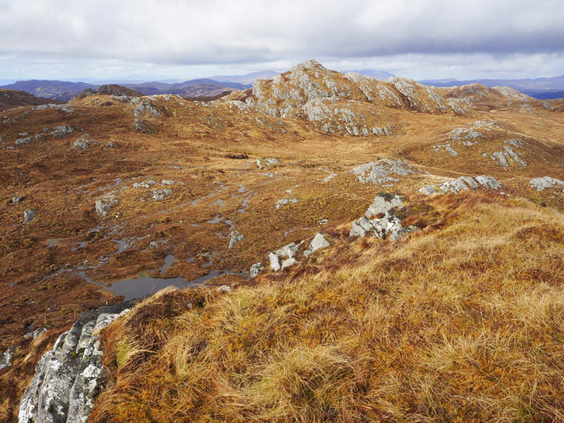
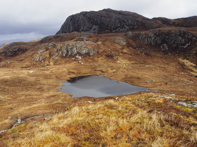
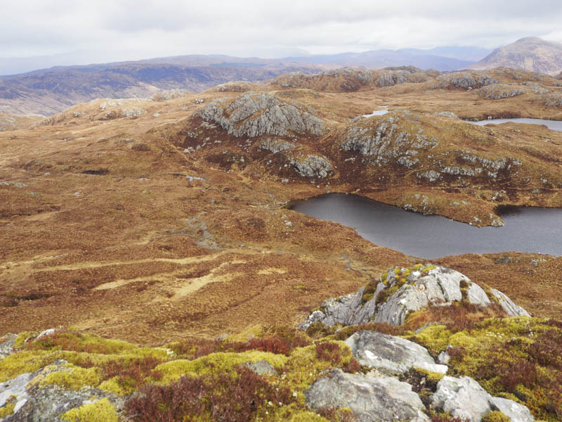
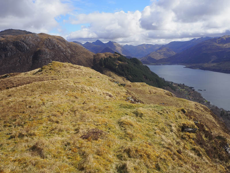
I continued south to the east of Loch na Cuiche then the ascent of Creag Loch a’ Mhuilinn was less straight forward as there were several undulations, rocky outcrops and slab rock to avoid before gaining its north-east ridge then onto the grassy/mossy knoll marking the summit of this Tump.
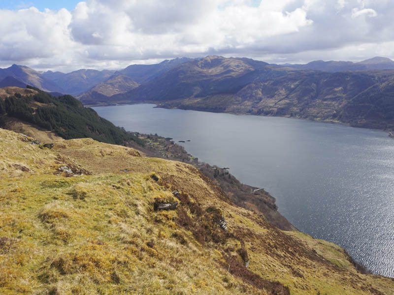
The descent south-east took me towards the steep sided and rocky Boc Beag. There was no obvious ascent route from the west or north so I walked round to the east side where the gradient was still steep but here I worked my way through slab rock and outcrops to gain the summit of this Tump; the highest point being a rock amongst grass and heather.
Returned by the ascent route and walked round the north and west sides before descending west then south-west and onto the north ridge of Sgurr Aoide. I walked up the grassy ridge to the highest point of this Tump, a grassy/heathery knoll.
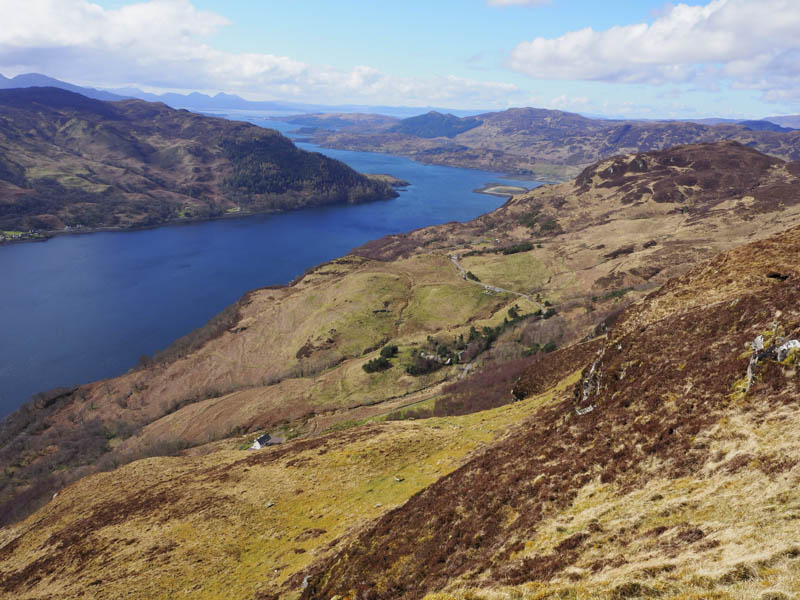
Descended Sgurr Aoide’s North Ridge, crossed a deer fence and followed it north-west gradually losing height before later turning west through grass and dead bracken to reach the road just east of the Viewpoint.
- Time taken – 5.25 hours.
- Distance – 9.5 kilometres.
- Height climbed – 645 metres.