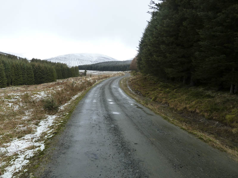
The start of this walk was Glen Prosen, accessed from Kirriemuir in Angus, parking at the end of the public road beside the gate leading into Glenclova Forest where there was space for a couple of cars.
We then set off along the vehicle track through the forest. I wasn’t expecting any views but large sections of the forest had been felled although re-planting was in progress. The cloud was breaking up with the sun shining on the snow covered Driesh.
![Track through forest and Hill of Strone](https://scotlandhills.net/wp-content/uploads/2021/08/01-Track-through-forest-and-Hill-of-Strone.jpg)
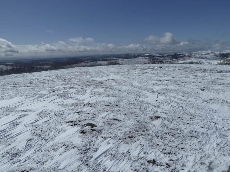
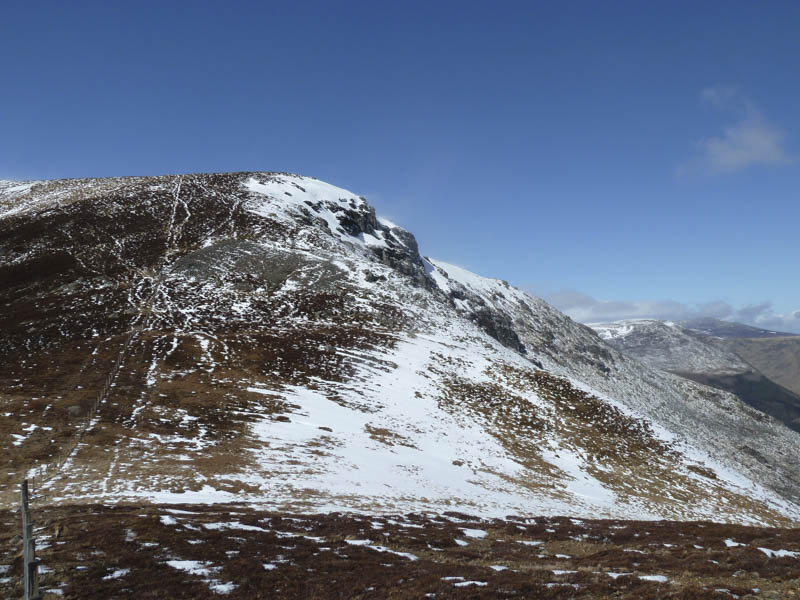
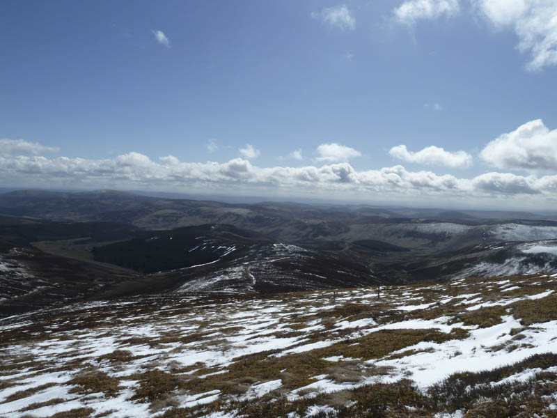
Good progress was made and after around three kilometres the forest track crossed Dead Water and doubled back. Prior to this point a rougher track continued above the east side of Dead Water and led to a stile and gate in a deer fence. Fortunately the gate wasn’t padlocked as we had a lab with us. A snow covered quad vehicle trail was followed up the Shank of Strone and close to the summit of Hill of Strone. We diverted to visit the cairn marking the summit of this Hump, where we had some good views.
![Route up Shank of Strone](https://scotlandhills.net/wp-content/uploads/2021/08/02-Route-up-Shank-of-Strone.jpg)
![Glenclova Forest. Eskielawn beyond](https://scotlandhills.net/wp-content/uploads/2021/08/03-Glenclova-Forest.-Eskielawn-beyond.jpg)
![Across the Shank of Driesh towards the Glen Isla Hills](https://scotlandhills.net/wp-content/uploads/2021/08/04-Across-the-Shank-of-Driesh-towards-the-Glen-Isla-Hills.jpg)
![Approaching summit Hill of Strone](https://scotlandhills.net/wp-content/uploads/2021/08/05-Approaching-summit-Hill-of-Strone.jpg)
![Across Glen Clova to Ben Tirran](https://scotlandhills.net/wp-content/uploads/2021/08/06-Across-Glen-Clova-to-Ben-Tirran.jpg)
![Cairn Inks and Cairn of Barns](https://scotlandhills.net/wp-content/uploads/2021/08/07-Cairn-Inks-and-Cairn-of-Barns.jpg)
![Glen Prosen](https://scotlandhills.net/wp-content/uploads/2021/08/08-Glen-Prosen.jpg)
![Towards Mount Blair](https://scotlandhills.net/wp-content/uploads/2021/08/09-Towards-Mount-Blair.jpg)
![Across Glen Doll to Craig Mellon](https://scotlandhills.net/wp-content/uploads/2021/08/11-Across-Glen-Doll-to-Craig-Mellon.jpg)
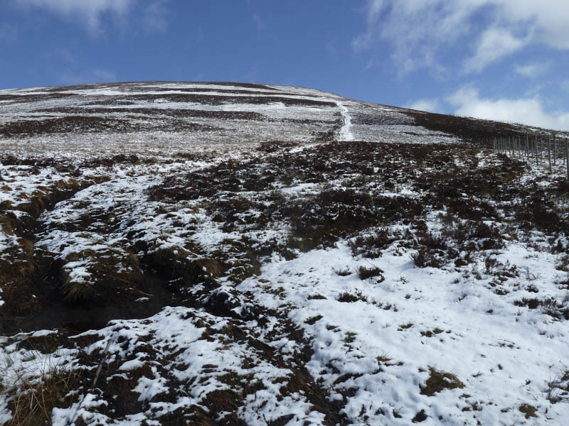
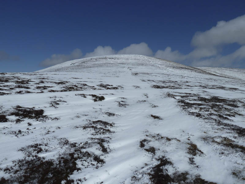
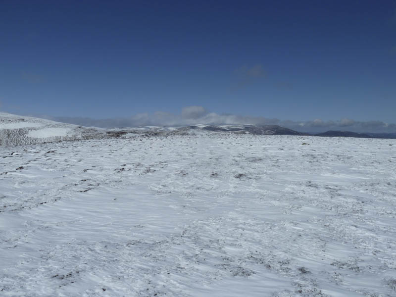
It was windy here but sunny so we decided to continue to the Munro, Driesh, and descended north to a gate in a stock fence then north-west to the Sneck of Farchal, latterly following a fence.
![Sneck of Farchal and The Scorrie](https://scotlandhills.net/wp-content/uploads/2021/08/12-Sneck-of-Farchal-and-The-Scorrie.jpg)
![Upper Glen Clova](https://scotlandhills.net/wp-content/uploads/2021/08/13-Upper-Glen-Clova.jpg)
![The Scorrie and route to Driesh](https://scotlandhills.net/wp-content/uploads/2021/08/14-The-Scorrie-and-route-to-Driesh.jpg)
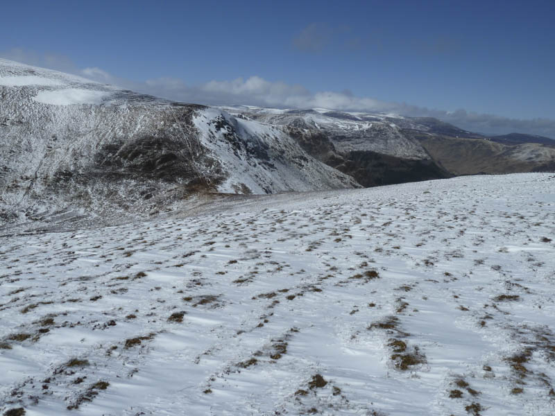
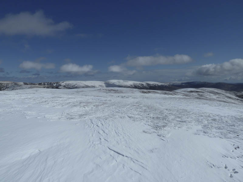
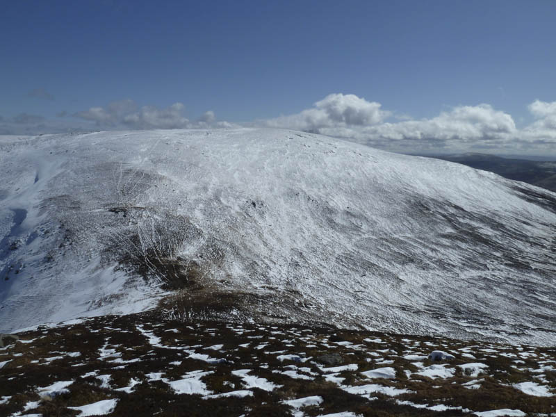
A steady climb took us through heather although there were traces of a path. The fence came to an end amongst some rocks then higher up the gradient eased. The summit area was a mass of small drifts of fresh snow with a few old fence posts marking the route although they weren’t always visible due to the spin drift. The dog wasn’t happy in the blowing snow but eventually we reached the circular cairn and trig point.
![Sneck of Farchal and Hill of Strone](https://scotlandhills.net/wp-content/uploads/2021/08/15-Sneck-of-Farchal-and-Hill-of-Strone.jpg)
![Towards Badandun Hill](https://scotlandhills.net/wp-content/uploads/2021/08/16-Towards-Badandun-Hill.jpg)
![Towards Blackwater Reservoir](https://scotlandhills.net/wp-content/uploads/2021/08/17-Towards-Blackwater-Reservoir.jpg)
![Shank of Driesh and Lick](https://scotlandhills.net/wp-content/uploads/2021/08/18-Shank-of-Driesh-and-Lick.jpg)
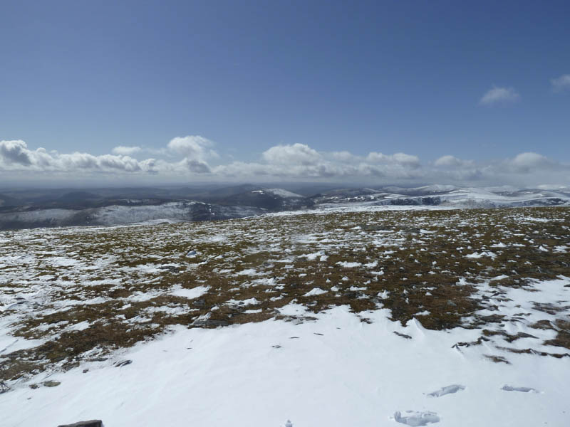
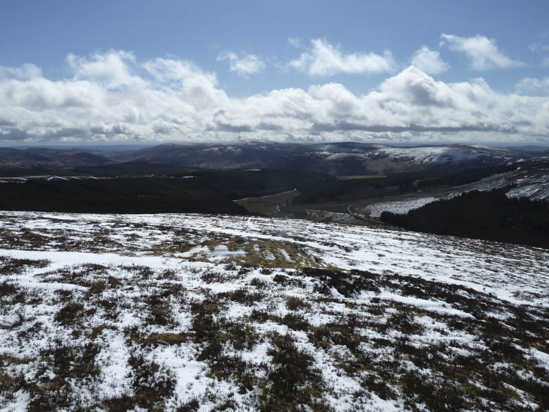
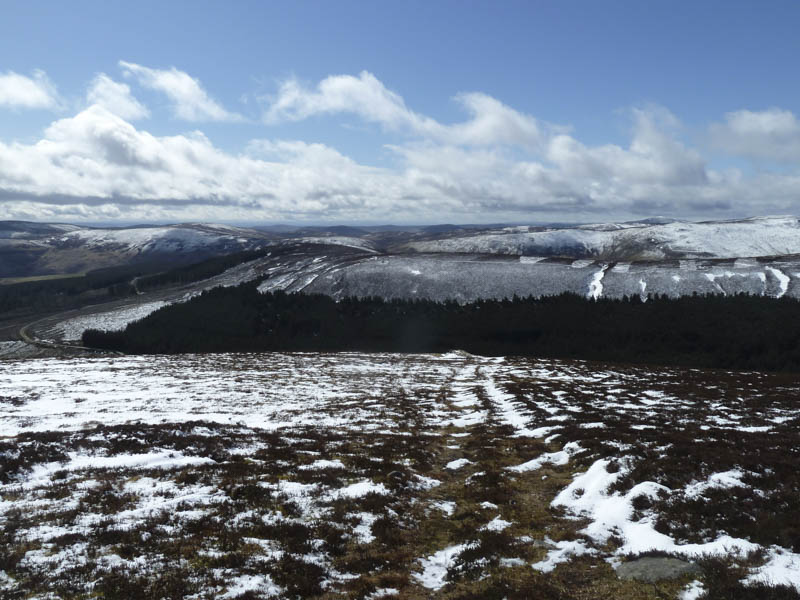
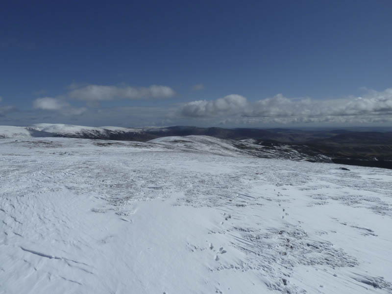
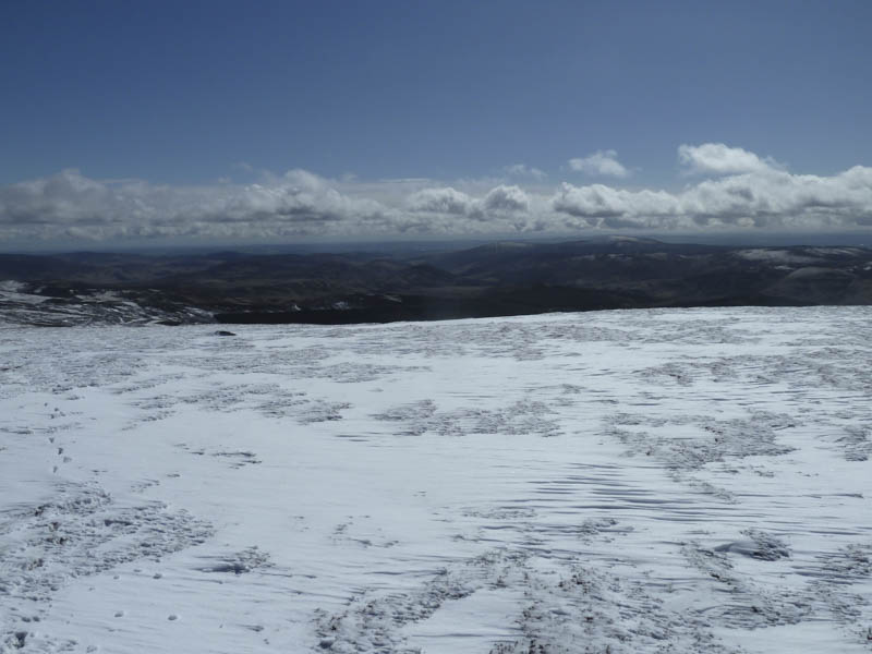
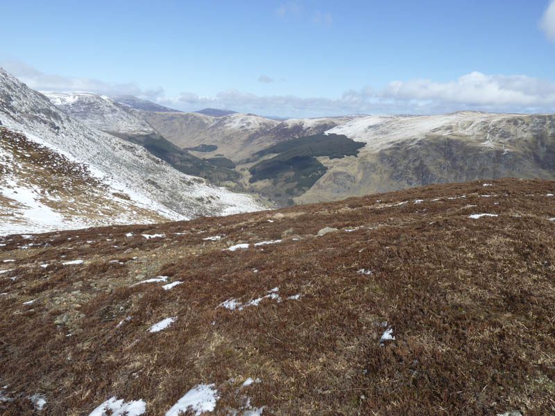
We descended south-east out of the wind and located the path along the Shank of Driesh. Lower down it was replaced by a vehicle track which crossed the small knoll, Lick, before descending to Old Craig. The final section of the walk was along the vehicle track on the north side of the Prosen Water which led back to the car.
- Time taken – 5.25 hours.
- Distance – 15.75 kilometres.
- Height climbed – 825 metres.