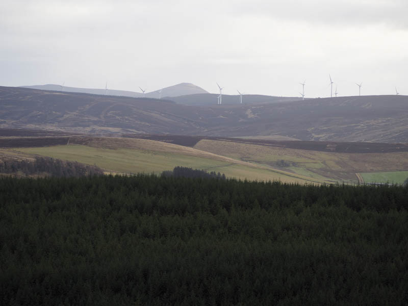
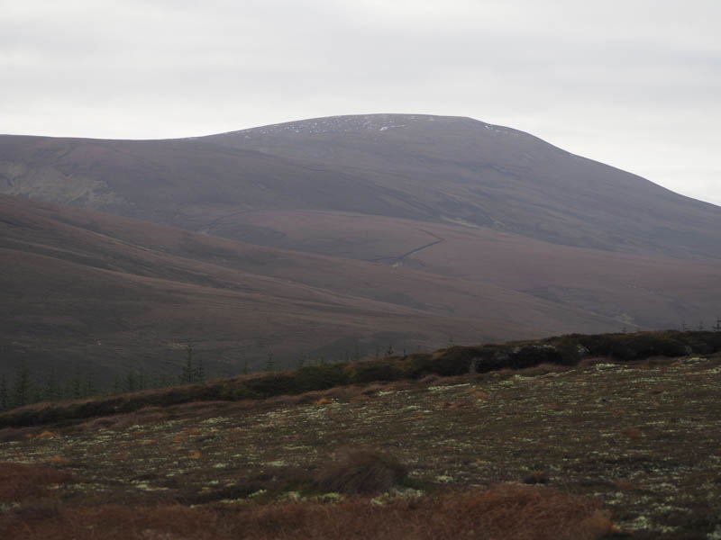
The starting point for the ascent of the Hump, Hill of Clais nan Earb, was the Glacks of Balloch on the A941 Cabrach to Dufftown Road a few miles north-west of The Grouse Inn. On my arrival there I discovered that work was being undertaken to alter and widen a short section of the access road leading to the forest where there was a sign stating that normal access rights were suspended. This was in relation to the Dorenell Enabling Works and a massive wind farm being constructed several miles away on Hill of Dorenell, to the east of the Graham, Cook’s Cairn.
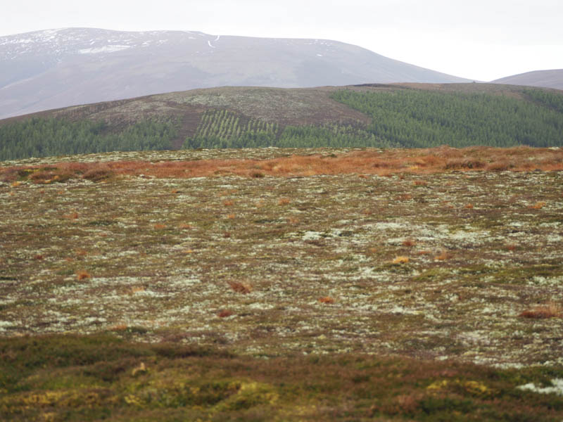
As it was a Sunday I presumed there would be no one working on the track so I parked on this access road behind a construction vehicle and walked to the large high gate which appeared to be padlocked. However on examination the chain was just hung over the bolt so I passed through the gate and walked along the forest track which as well as being upgraded was being widened. I reached a junction of tracks where the layout was also being altered and here I was hoping to leave the track and ascend the Tump, Carn Chrom.
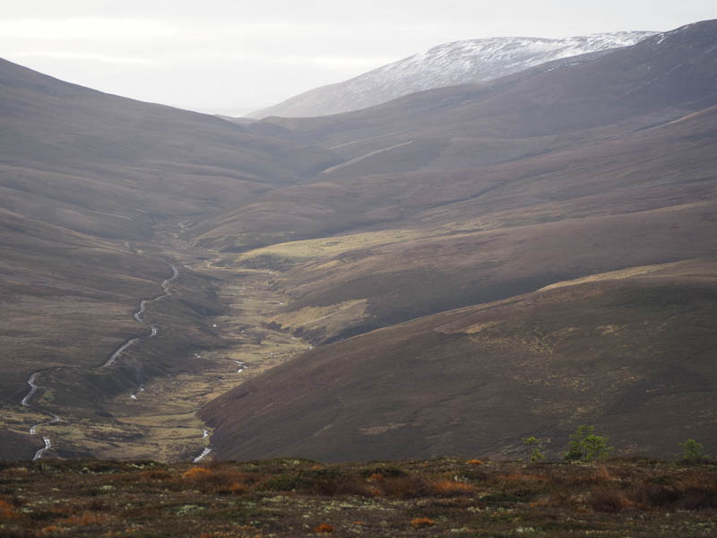
There was no obvious way through the conifers so I continued along the upgraded track in a south-westerly direction and soon came to a gap in the trees. (NJ343334)
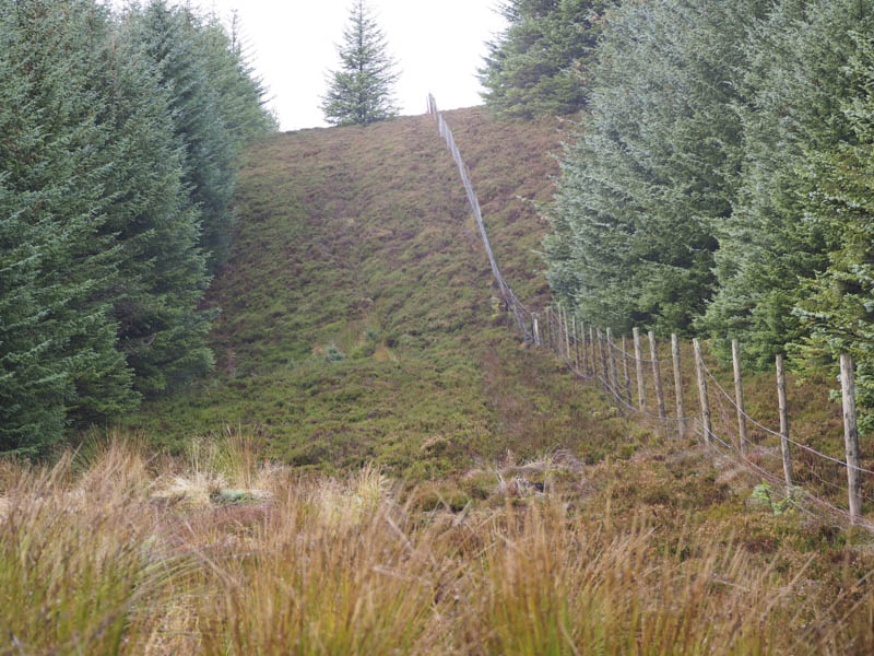
Initially there were traces of a vehicle track running up the side of an old deer fence and through the long heather but the track soon disappeared and it was tough going to reach the top of the rise. From here I crossed the deer fence then walked over some short and mossy vegetation to the summit of Carn Chrom, marked by a small cairn.
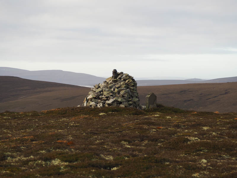
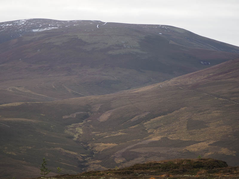
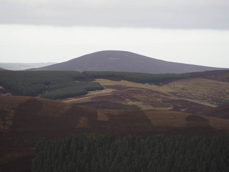
I thereafter returned to the deer fence and descended through another gap in the forest where I made use of an animal trail to reach the col with Hill of Clais nan Earb. More deep heather was encountered on the initial ascent of this Hump but it didn’t take long before I was above the tree line and walking along the East Ridge. Here there were two cairns, the westerly one appeared the highest. There was also a memorial stone beside it but as the facing was cracked the inscription was difficult to read but it appeared to be in relation to some Duke from the 1920’s.
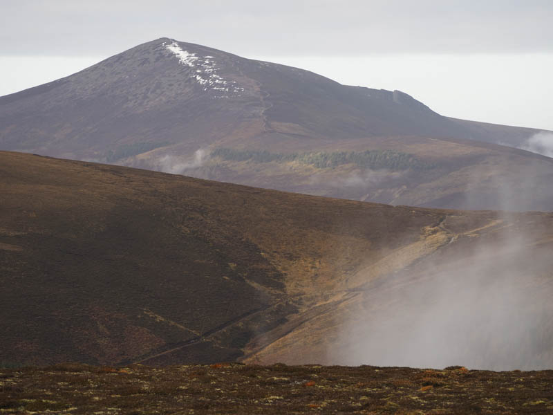
It had been mainly cloudy but well above the tops and there was no wind so I sat at the summit for a while before returning to the col with Carn Chrom. Here at another gap in the trees I descended south again with traces of animal tracks but lower down the space had been filled with deciduous trees and the ground was rather rough. This took me to another deer fence and to the vehicle track (NJ338328) where a large gate with numerous warning signs was definitely locked and restricted access to the open hillside. Fortunately I was remaining within the forest and used the upgraded track to return to the start not meeting anyone on this outing.
- Time taken – 2.5 hours.
- Distance – 7.25 kilometres.
- Height climbed – 275 metres.