I was returning from Moidart and planned to stop off at the Grey Corries to climb the Munros, Stob Choire Claurigh and Stob Ban. I drove east from Spean Bridge along the minor road on the south side of the River Spean to Corriechoille then continued south up a rough vehicle track to just before the start of the forest where I parked beside some other vehicles.
I walked the short distance to the gates in the deer fence passing through the pedestrian gate, the other one being locked.
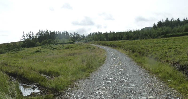
The track was followed through the forest to another deer gate, which was unlocked.
Here I left the track, crossed some wet ground and a stock fence, then headed south-west through long grass on a fairly steep gradient where there were traces of quad vehicle tracks.
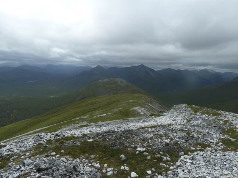
On gaining a bit of height I climbed south onto Beinn Bhan then to the west of the Munro Top, Stob Coire Gaibhre.
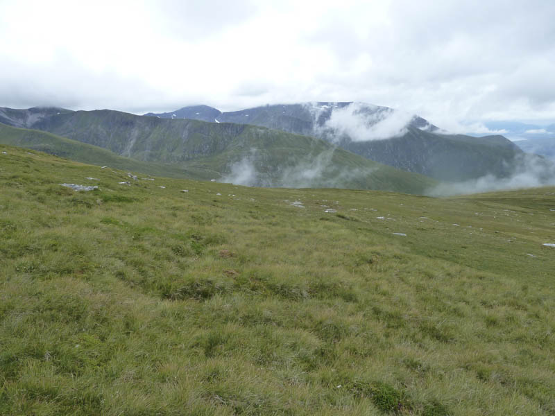
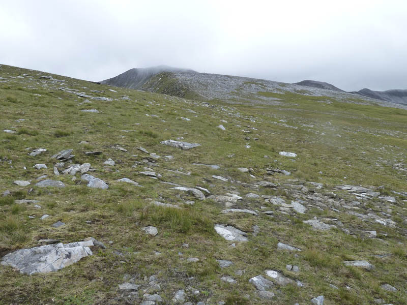
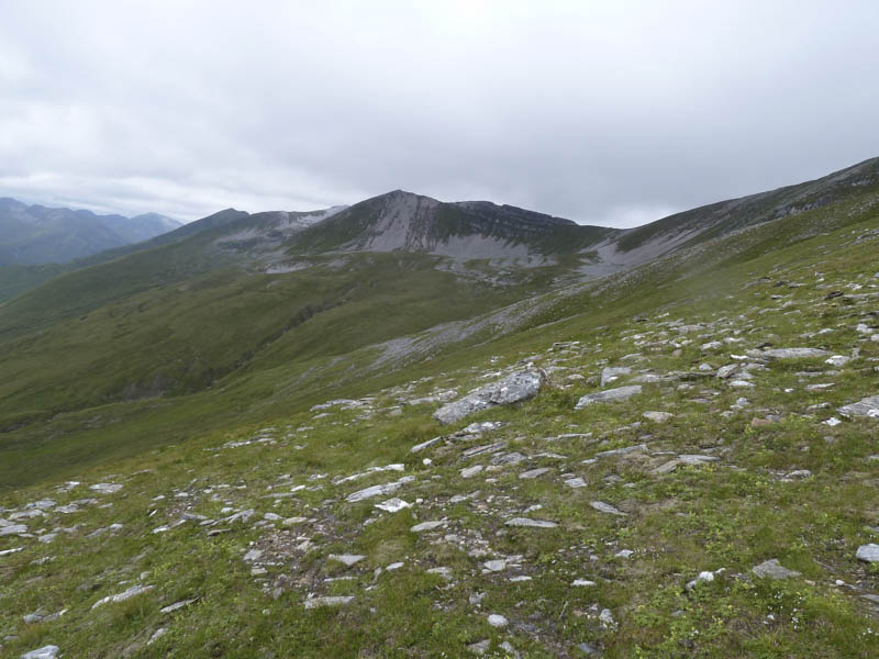
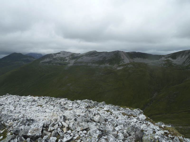
Occasionally there were traces of a path or it may have been sheep trails. It was then on towards the 1121 knoll passing it to the east to gain the north-east ridge of Stob Choire Claurigh which was a bit rocky and narrow. The summit cairn was reached but unfortunately the top was in cloud.
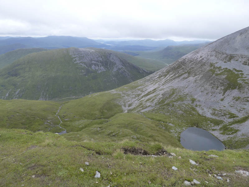
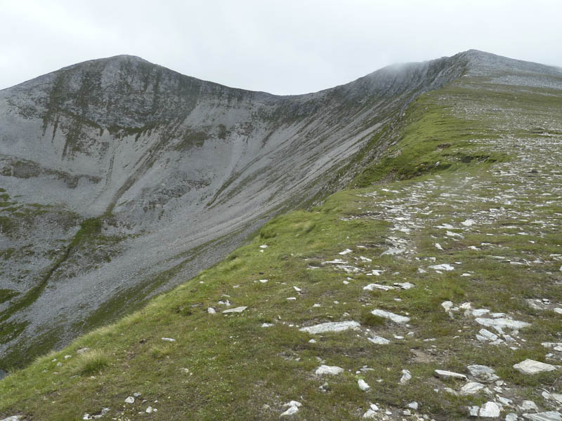
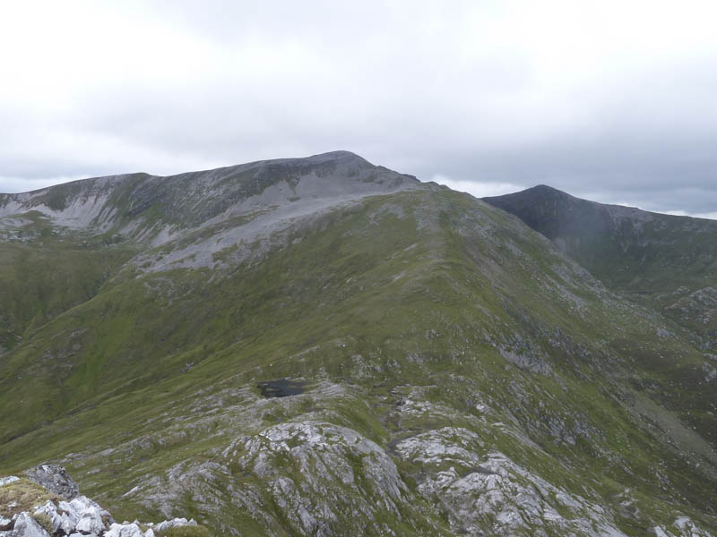
The descent south-east then south was over boulders before lower down I reached some vegetation where a path led to the col with Stob Ban.
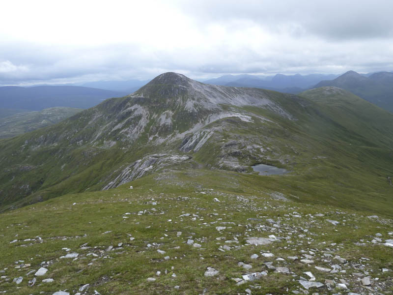
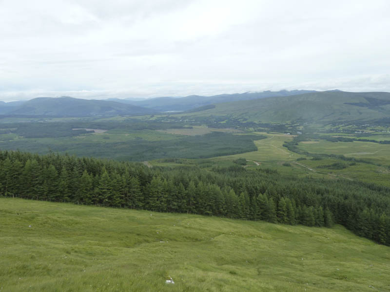
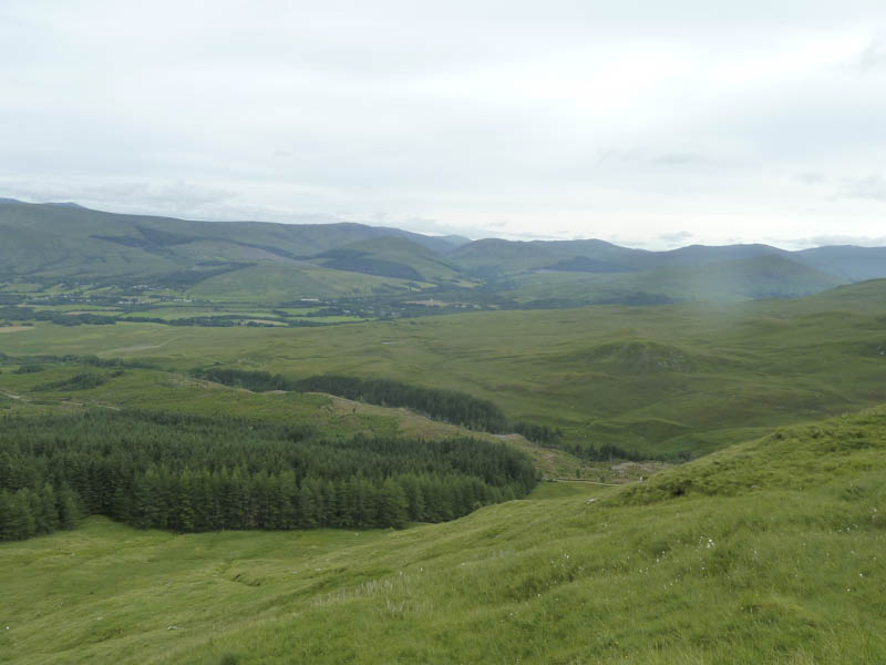
This path continued up Stob Ban, later consisting of stone and at times scree as well as being fairly steep. It eventually led to the summit cairn where I took a break for lunch with views of the surrounding hills.
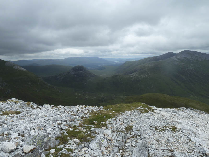
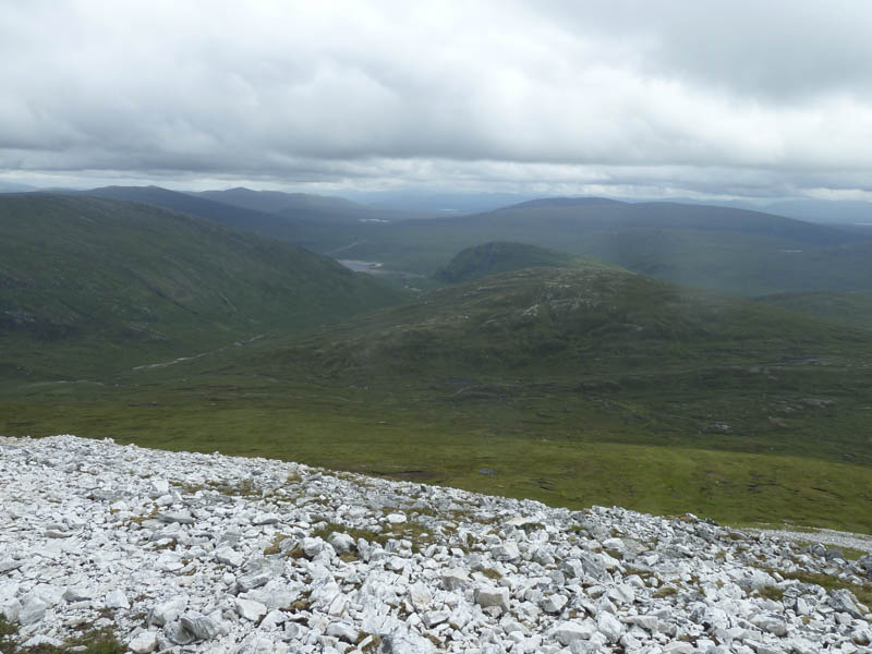
Afterwards I descended east on a fairly steep path consisting mainly of stone and rock but the gradient soon eased as the route ran below a knoll and towards the Lairig Leacach. There were a few short steep and wet sections as I kept to the south of the Allt a’ Chuil Choirean which was easily crossed when I reached the vehicle track.
Outside the nearby bothy I spoke to a couple of chaps who were staying there and had been up Stob Ban earlier in the day. The vehicle track was then followed north-west back to the forest and to my car.
- Time taken – 6.75 hours.
- Distance – 17.25 kilometres.
- Height climbed – 1275 metres.