Dawn was breaking as I drove east from the A82 at Spean Bridge along the south side of the River Spean as far as Corriechoille then the vehicle track going south from this property. It still surprises me that walkers are permitted to drive along this rough track but there are no parking facilities at Corriechoille. However I was happy to drive along this track for a couple of kilometres to opposite the track leading into the forest sign-posted Spean Bridge where I left my car.
Once geared up I followed the route into the forest then along the track with occasional views of the snow-capped Aonach Mor.
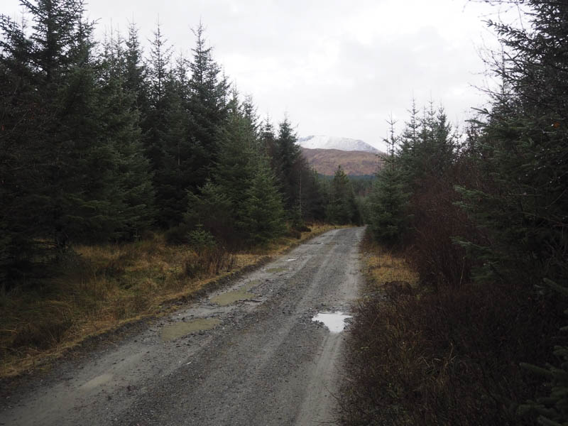
Since my previous visit a couple of new tracks had been constructed but for my planned route they headed off in the wrong direction. At a ‘T’ junction I took a left, the right leading to Spean Bridge, and began to gain a bit of height.
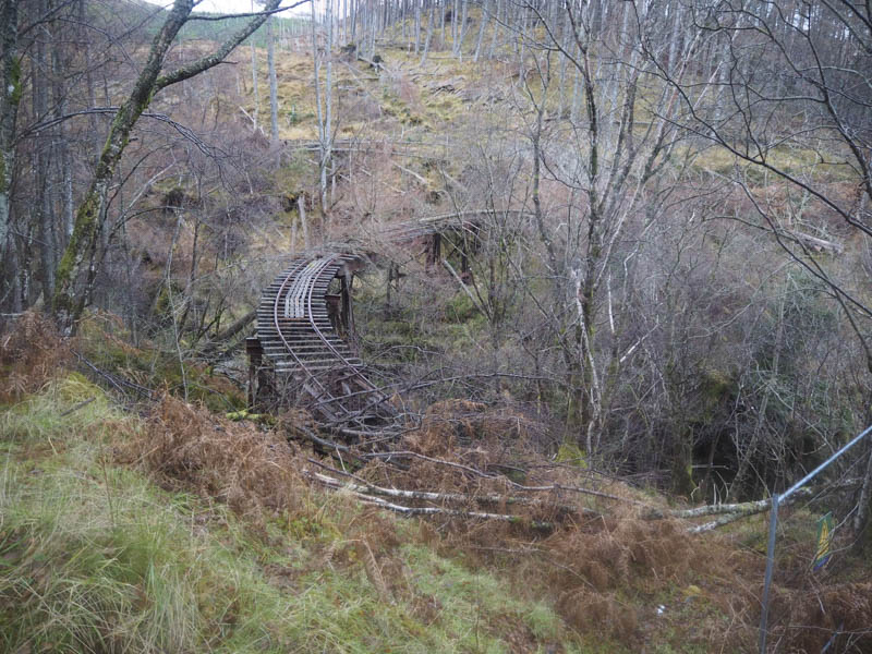
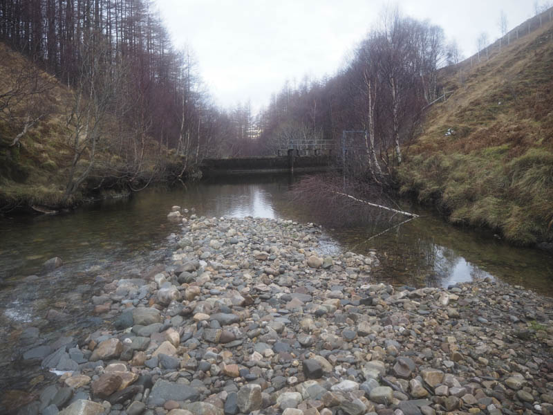
This track passed an old quarry then led to a dam and water intake. Just prior to it a set of new metal up and over steps had been constructed, possibly due to a landslip below.
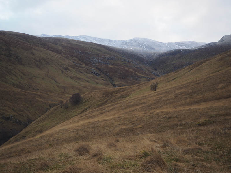
This took me to a wooden stile then a narrow, slippery path at the side of the Allt Choimhlidh. Fortunately the stream wasn’t high so I just walked across it.
The banking on the other side was steep and it was hard work especially through the dead bracken. The gradient then eased as I headed onto the south ridge of the Munro Top, Beinn na Socaich, following a muddy quad vehicle trail.
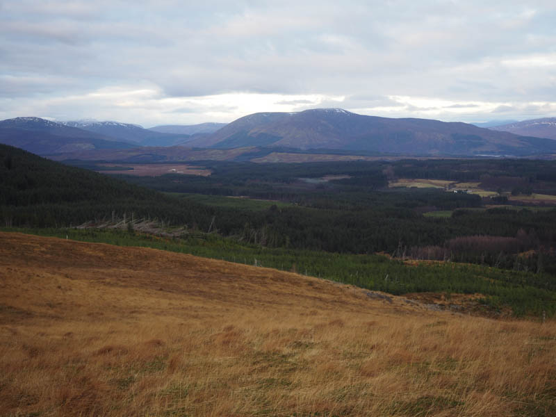
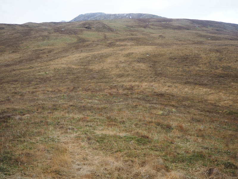
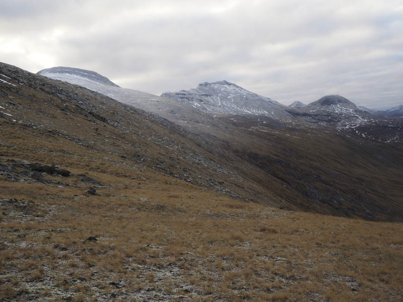
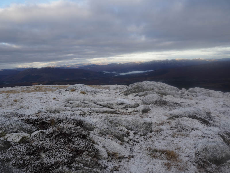
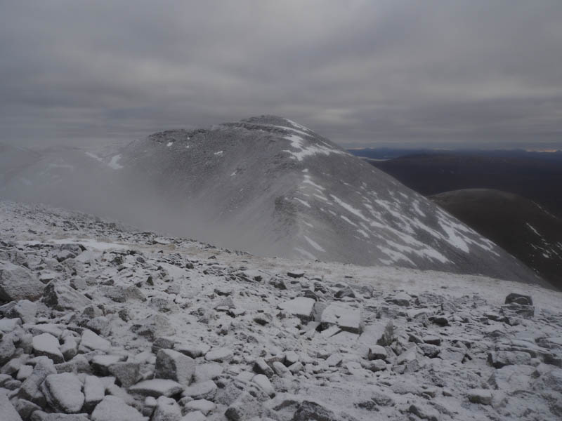
From here on there was a light covering of snow. I headed to the summit of Beinn na Socaich then a short descent took me to the col with Stob Coire Easain.
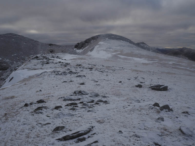
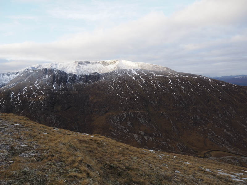
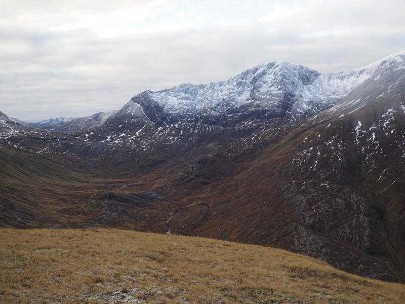
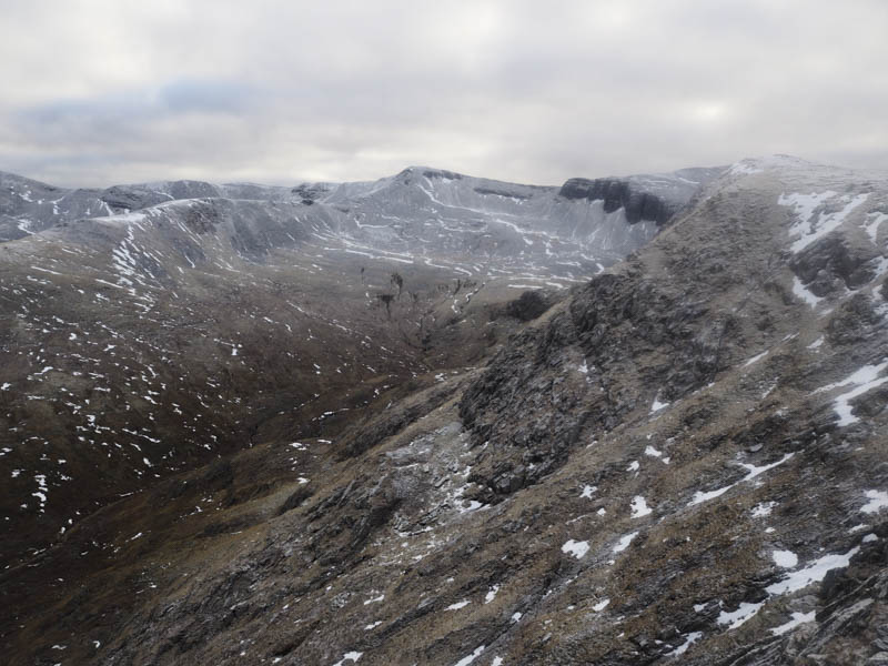
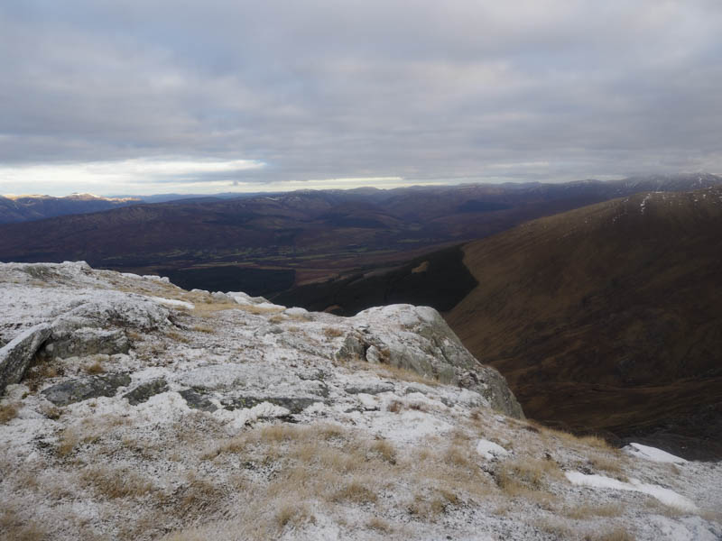
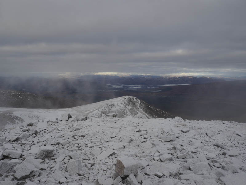
I climbed this Munro Top initially on vegetation then stony ground to gain the summit cairn where there were views of the Mamores, the Aonachs and Ben Nevis to name a few.
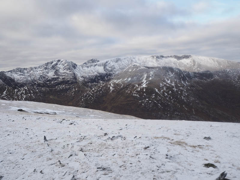
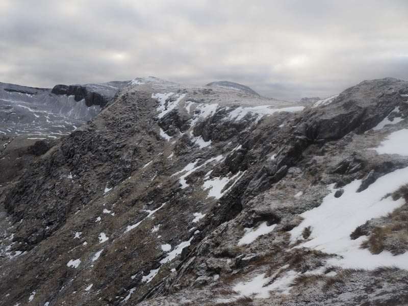
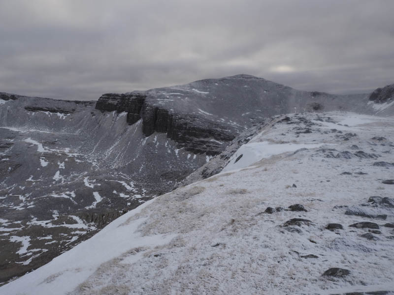
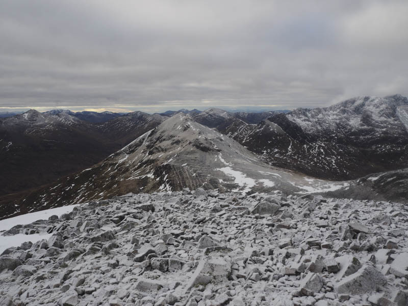
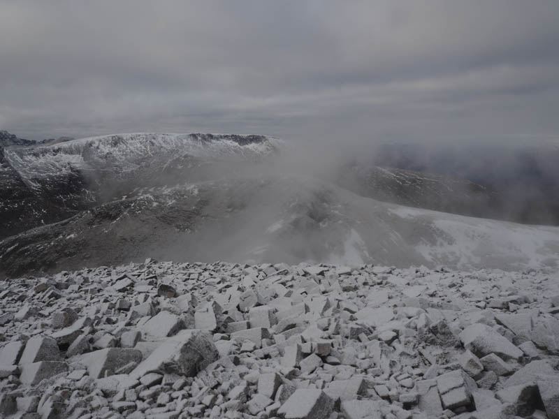
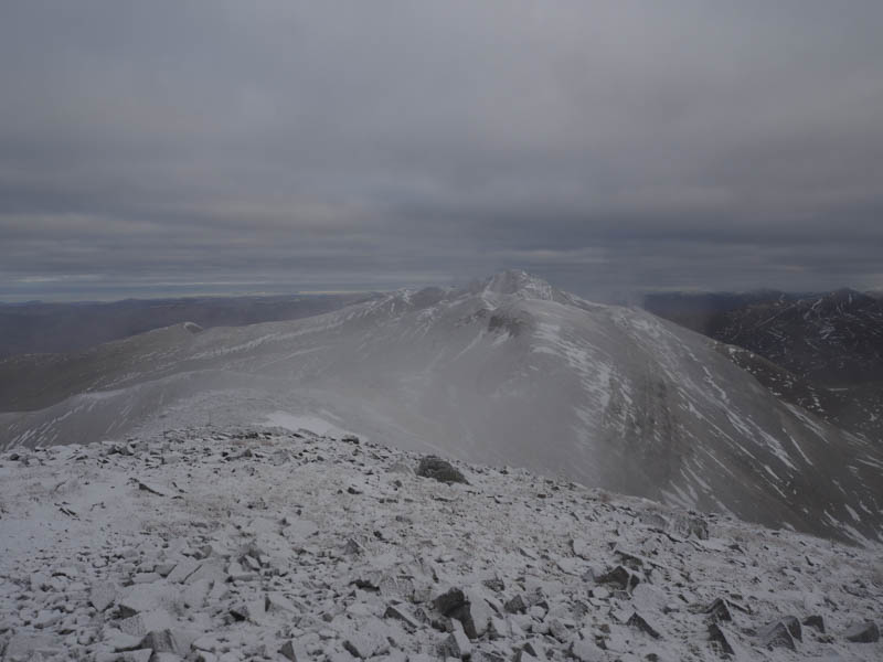
Some cloud was bubbling up so I descended east but it was slow going as a few of the lightly snow covered rocks were slippery. On reaching the col with Stob Coire an Laoigh I commenced its ascent again it was slippery in places. There were also still patches of last month’s snow but I was able to avoid most of them thus I didn’t need to fit my crampons. The circular summit cairn was reached and despite a bit of cloud I did get views from this Munro.
The return was by the upward route by-passing the summit of Beinn na Socaich to its west.
- Time taken – 7.25 hours.
- Distance – 17 kilometres.
- Height climbed – 1135 metres.