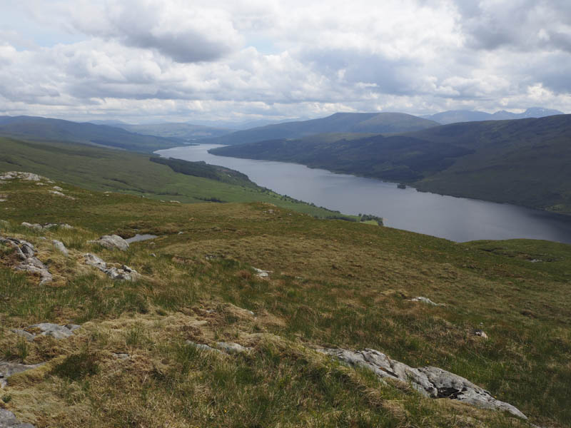
Glas Bheinn – I left my car beside an old bridge over the Allt Dubh on the north side of the single track road that ran along the north shore of Loch Arkaig, accessed from the B8005 at Gairlochy. I then walked up the vehicle track on the east side of the Allt Dubh.
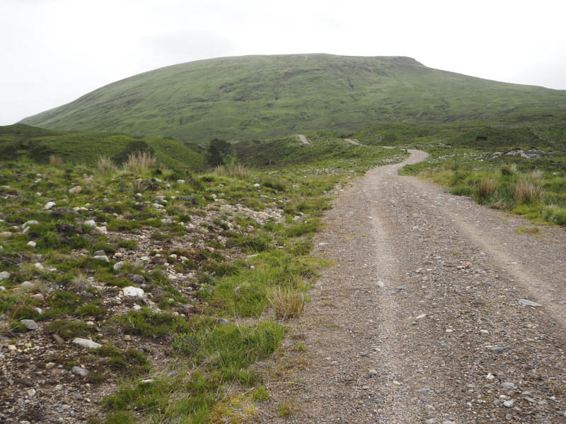
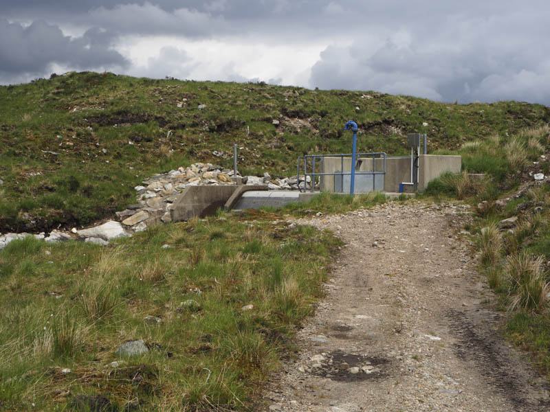
This track was steep in places but in reasonable condition and led to a mini hydro dam.
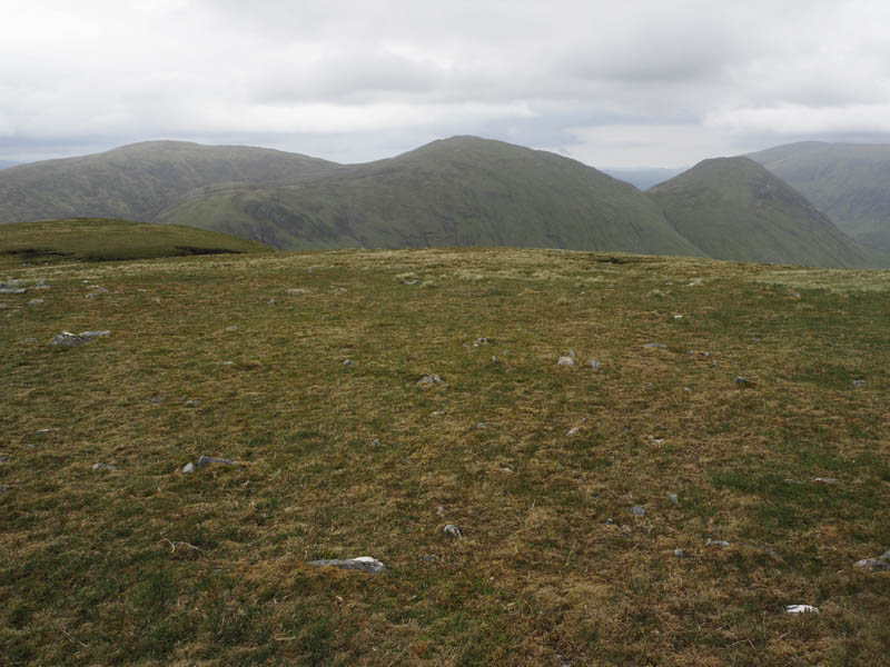
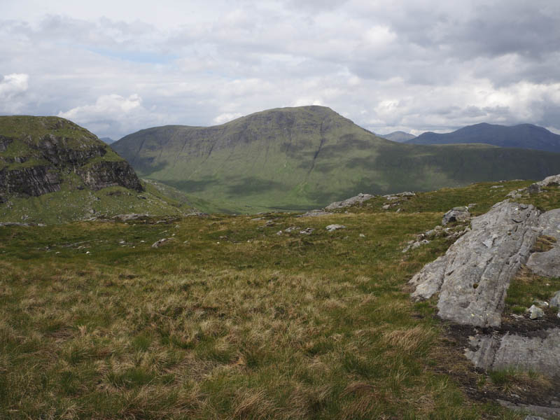
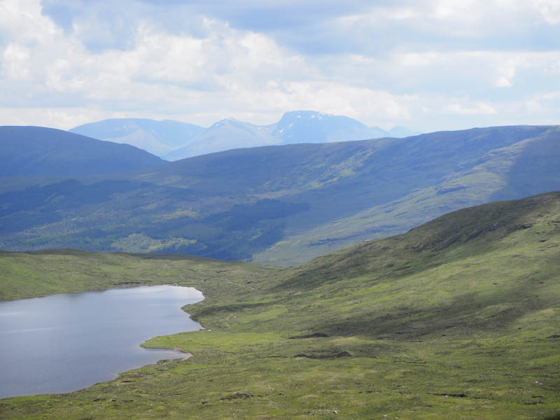
Beyond, the track deteriorated but I soon left it and climbed east then north-east up fairly steep slopes. It was initially mainly across grass and heather then just grass until near the summit of Glas Bheinn when it was a mixture of grass, heather and stone. A small cairn marked the summit of this Graham where I had a coffee break and encountered a light rain shower. There had been a few spots of rain earlier on the ascent.
I returned to the vehicle track roughly by the ascent route before heading back down the track to the start.
Stob Coire Loch Blair, Mam an Doire Dhuinn and Meall Blair – After climbing Glas Bheinn I drove west along the north side of Loch Arkaig to the start of an ATV track west of the dwelling at Caonich, (NN057923) leaving my car at the edge of a passing place.
I walked up this track and spotted a vehicle track further west so I crossed over to it. (Its start was at NN053923 ascertained on my return) This track was quite rough and steep in places and led to a mini hydro dam.
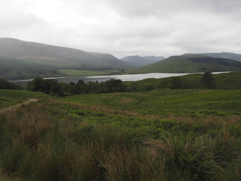
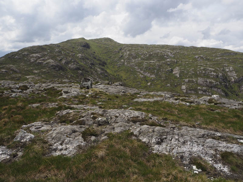
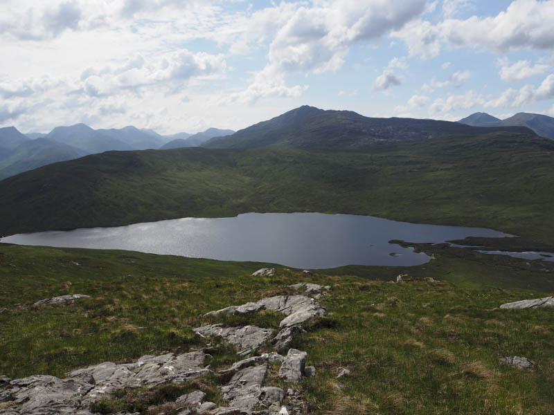
Beyond it I crossed the Allt Arcabhi noting afterwards, a short distance upstream, some wooden planks used by ATV vehicles. I briefly used this ATV track, but it headed round Loch Blair, so I left these tracks and ascended Stob Coire Loch Blair via its east ridge, which was steep in places.
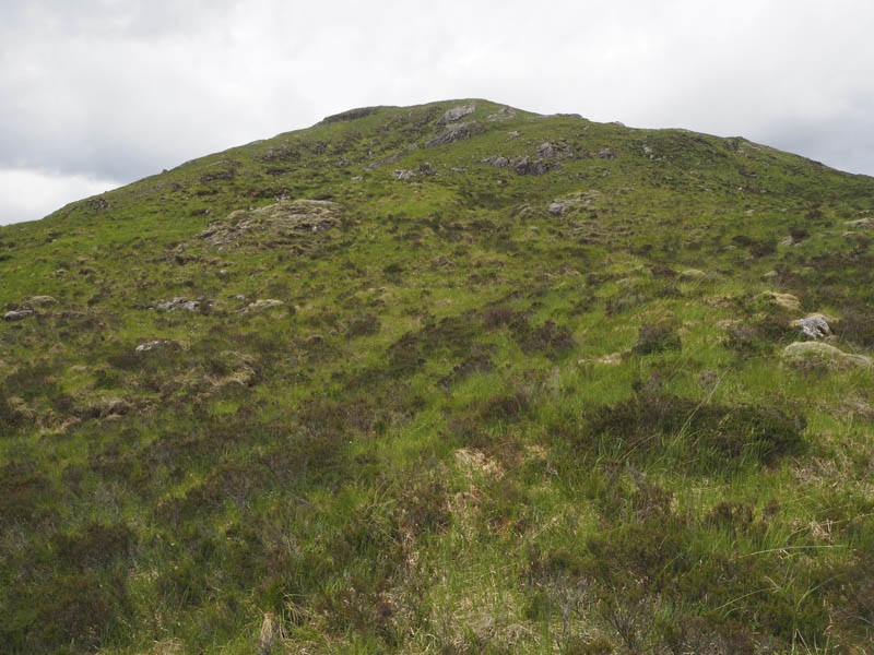
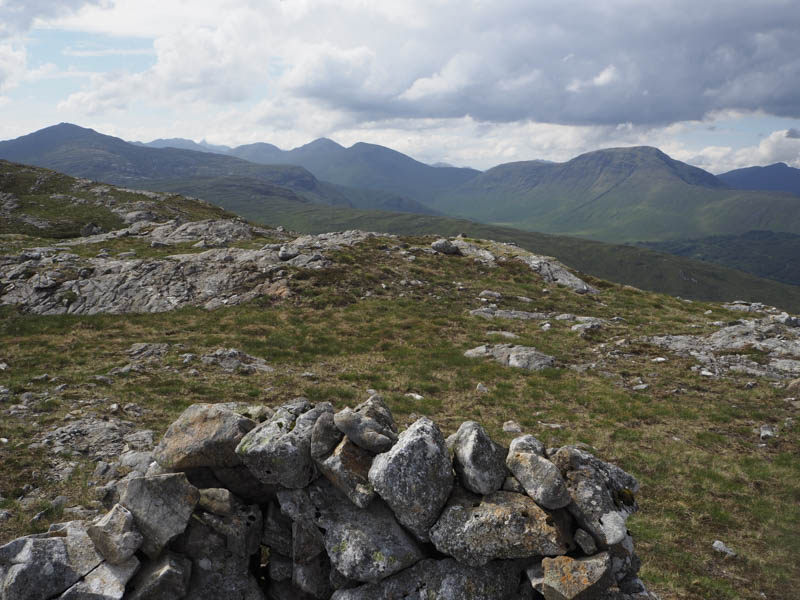
The summit of this Tump was marked by a large boulder.
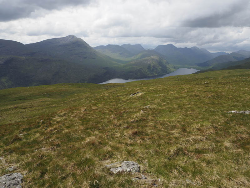
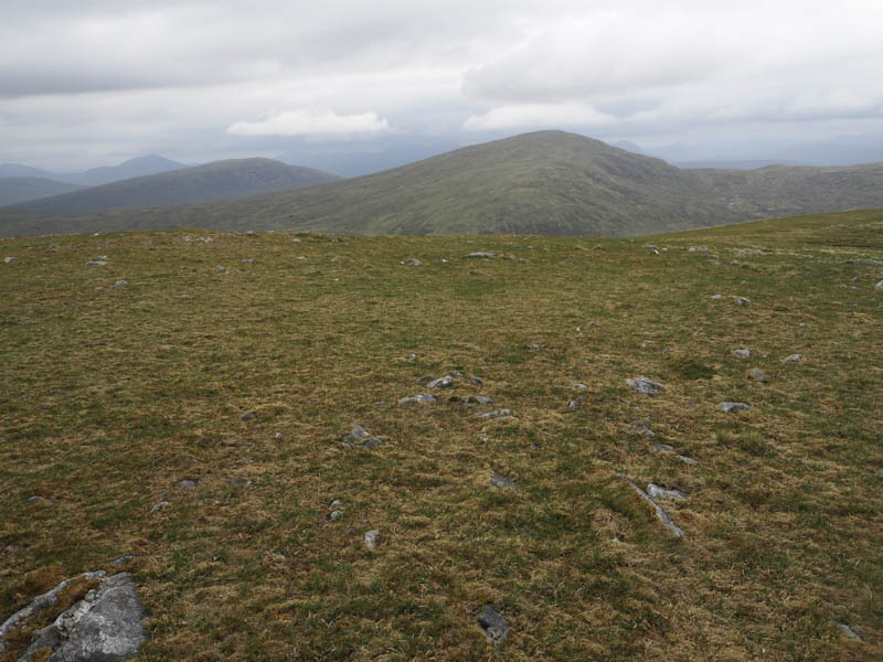
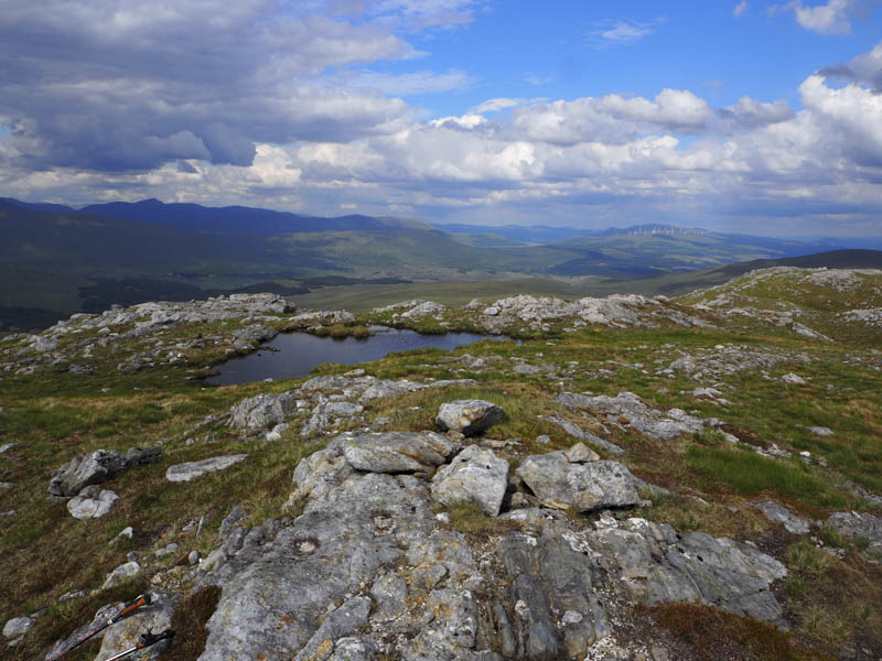
I then worked my way round the head of Coire Loch Blair initially on grass then through some wet and boggy ground with peat hags before ascending Mam an Doire Dhuinn where a cairn marked the highest point of this Tump.
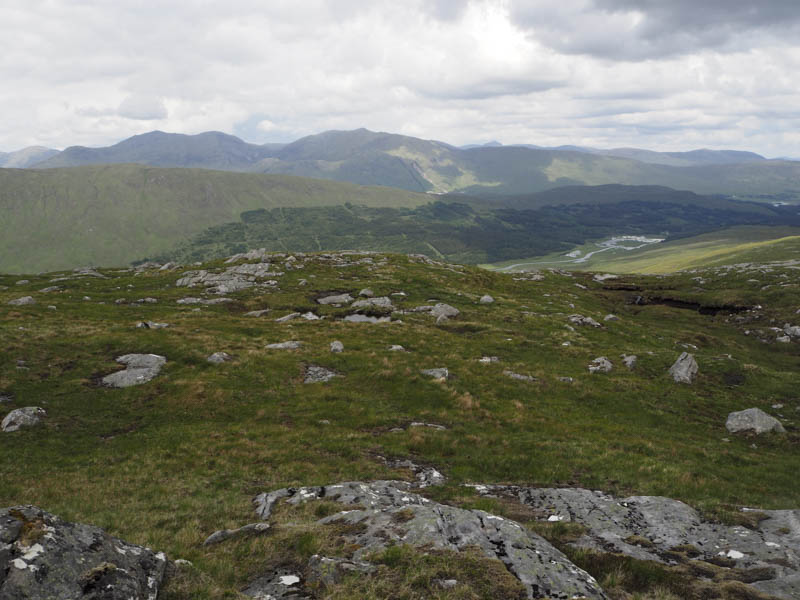
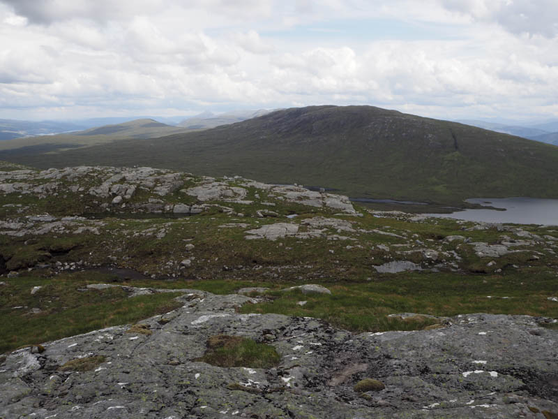
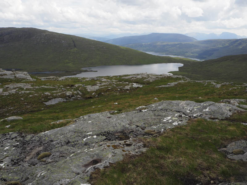
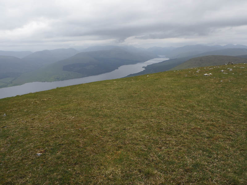
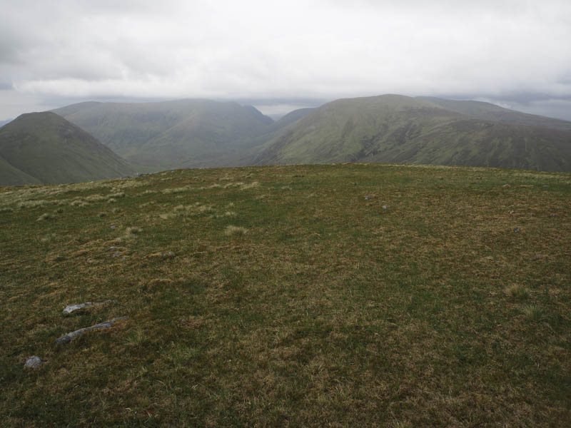
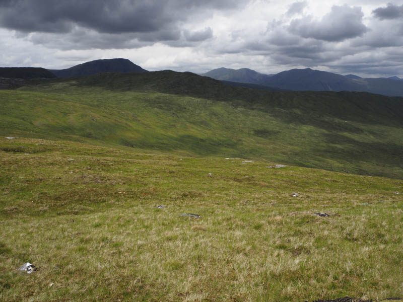
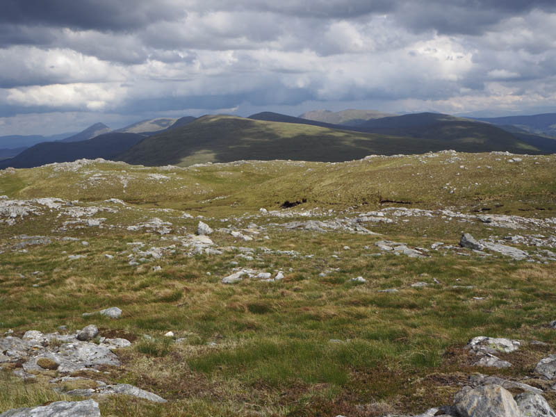
After a break to take on some fuel I descended east then south-east to the north side of Loch Blair. Getting round this side of the loch was awkward and time consuming with lots of peat hags, water inlets and a couple of streams to cross or work around. Beyond these obstacles I commenced the ascent of Meall Blair keeping to the south of an obvious gully. It was fairly steep climb and I found it hard work. This led onto the south-west ridge where the gradient eased. I then worked my way round some false tops to reach the trig point marking the summit of this Graham.
I took a few minutes rest at the top before descending the south-west ridge across a mixture of vegetation until approaching the south end of Loch Blair which was a bit of a mess with peat hags, bog and churned up ATV tracks.
Eventually I reached the vehicle track beside the mini hydro dam and followed it to the road then it was a short walk to my car.
- Total time taken – 8.25 hours.
- Total distance – 21 kilometres.
- Total height climbed – 1615 metres.