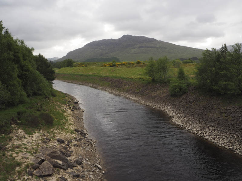
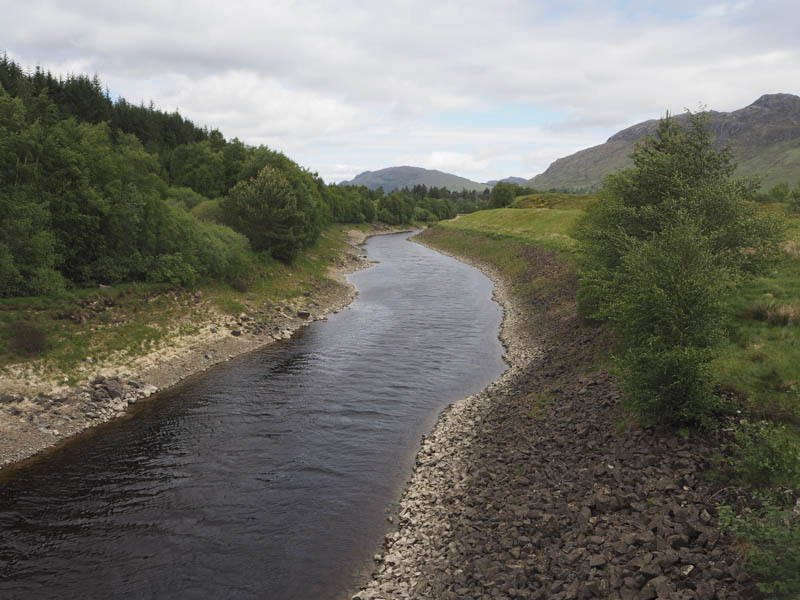
I left my vehicle in the parking area on the south side of the A86 Newtonmore to Spean Bridge Road just east of the concrete bridge over the River Spean and west of Moy Lodge. I then walked across the bridge and along the vehicle track towards the house at Luiblea.
At the ‘T’ junction before this property I went left, east, through a pedestrian gate, the larger gate in the deer fence being padlocked. This vehicle track took me passed a quarry and to a second ‘T’ junction where this time I went right, south.
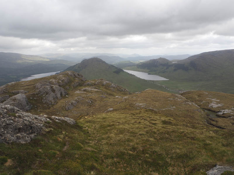
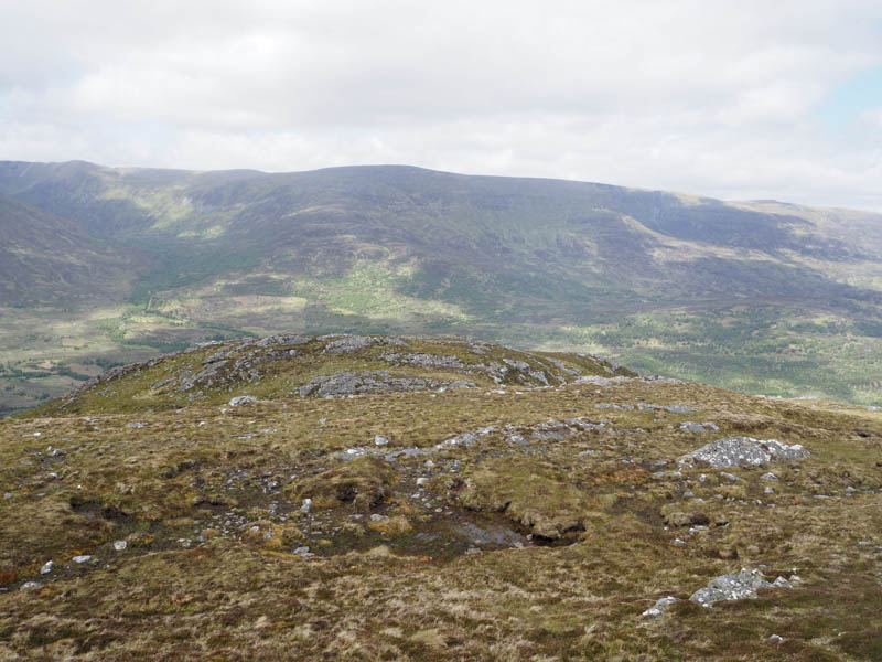
I only remained on this track briefly before leaving it and crossing grass, heather and bog myrtle as I headed for the south-west ridge of Binnein Shuas. Once on this ridge the gradient increased.
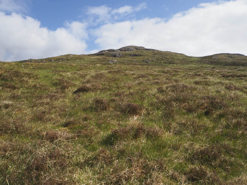
Higher still the terrain became rockier with some rock faces to avoid. The summit of this Graham was reached, the highest point being a vegetated outcrop marked by a cairn.
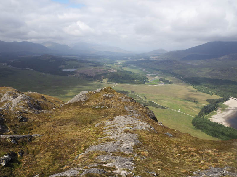
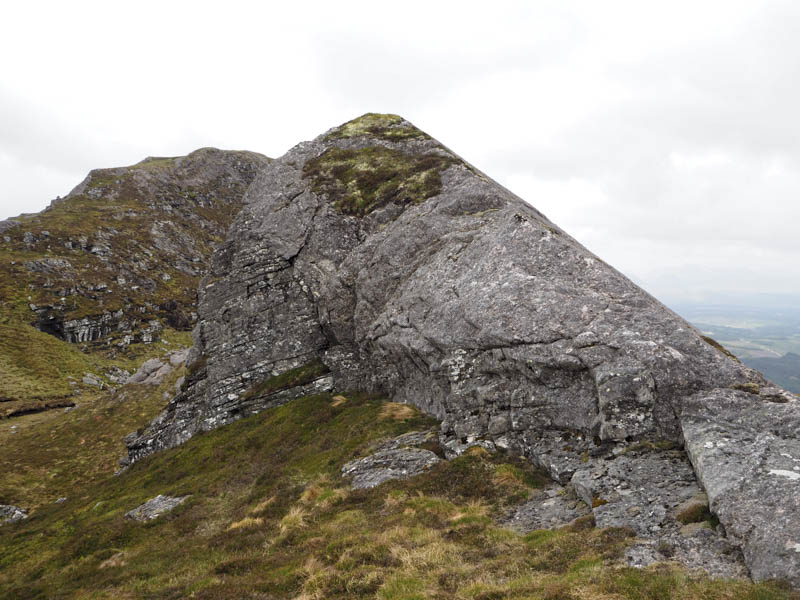
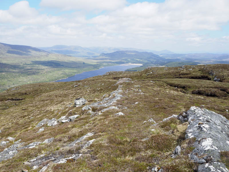
After a break here sheltering from a brisk wind I descended north-east then north-west to below Binnein Shuas North Top. This narrow ridge was ascended to the top of a rocky pyramid which was the summit of this Sub Simm. The wind made getting back down difficult but once on easier ground I crossed over to the north-east face of Beinnein Shuas to find a route off this hill.
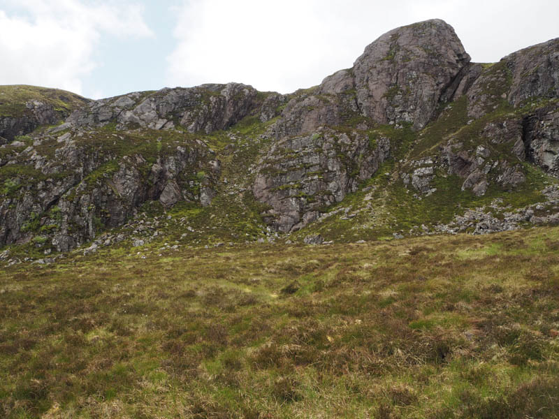
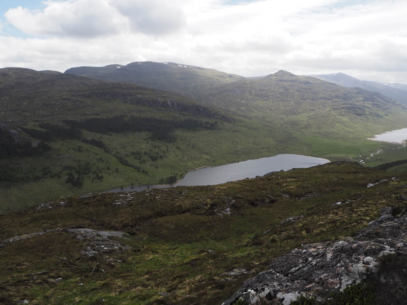
I surveyed a couple of gullies from above before committing myself. The gully I chose was fairly steep and narrow in places but had obviously been used before. On emerging from this gully the descent continued through vegetation and on more level ground to the col with Binnein Shios.
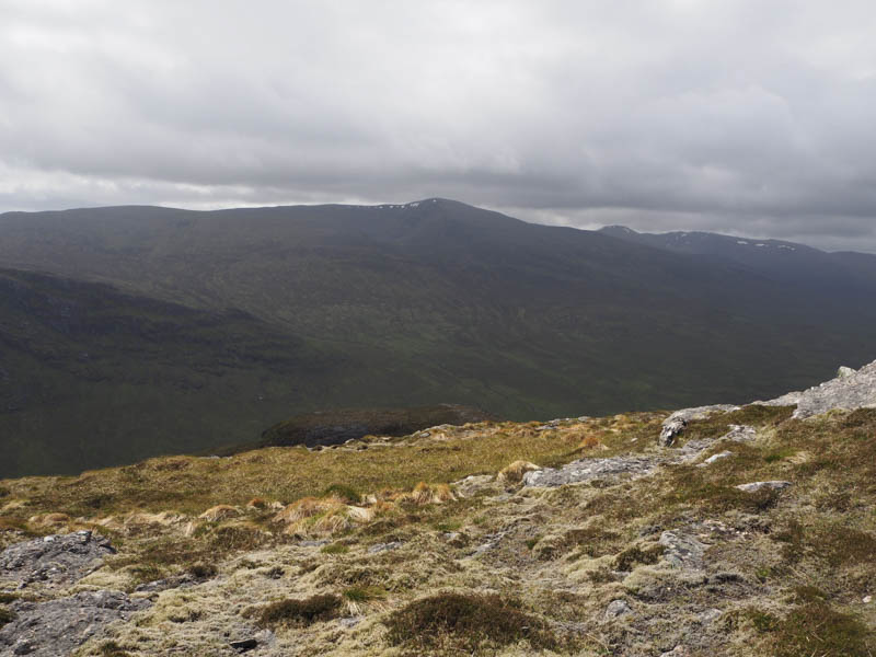
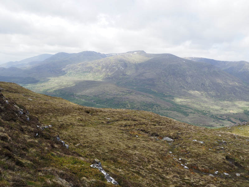
The ascent of this Graham was fairly gradual mainly on vegetation until higher up it was rockier. The summit was well to the north-east, the high point being a boulder just beyond the cairn.
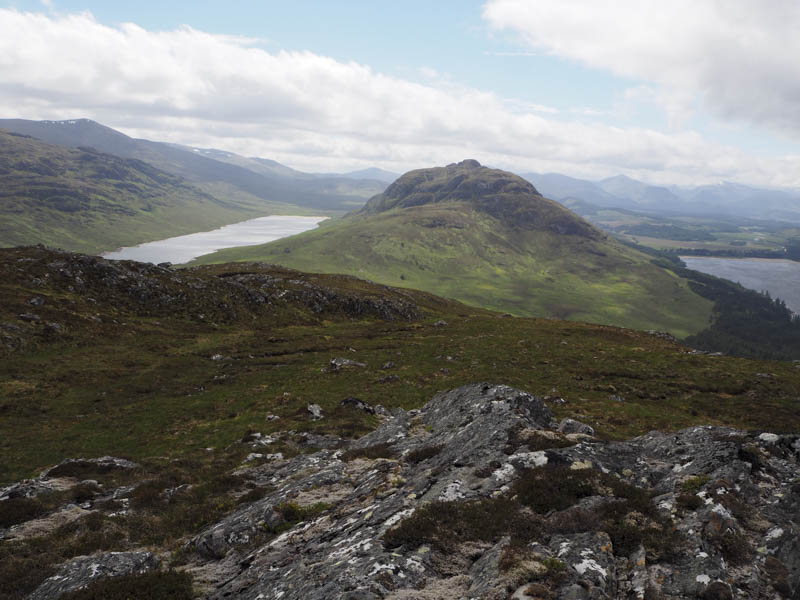
Here I took another break sheltering from the wind before descending south-west meeting three folks on their ascent. Lower down I turned west then headed for a metal gate in a deer fence only to discover the gate was tied down. I climbed over it and entered the trees which were initially well spaced but with several fallen trees to contend with. Further north young firs made for slow progress as I worked my way through them and round more fallen trees.
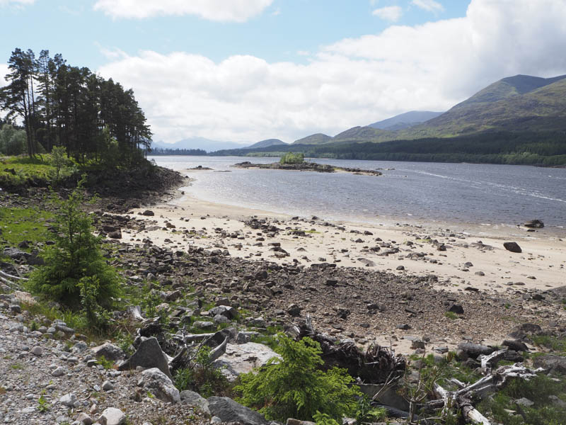
Eventually I reached the vehicle track on the south side of Loch Laggan and followed it south-west to the end of the loch where the track rose slightly to the ‘T’ junction west of Binnein Shuas.
I then returned to the start by the morning’s approach route.
- Time taken – 6.75 hours.
- Distance – 18 kilometres.
- Height climbed – 920 metres.