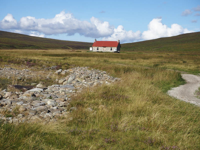
The start of this walk was the Linn of Dee located west of Braemar, which was a couple of miles west of Inverey, the starting point for my walk the previous Sunday. I parked at the side of the road east of the bridge over the River Dee (there is a pay and display car park on the other side of the river) and walked across the bridge onto the estate track on the north side of the river, a Right of Way to Blair Atholl, Glen Feshie and Coylumbridge.
It was sunny and warm morning with little or no wind as I walked west and was surprisingly quiet. I was overtaken by a chap but he soon abandoned his walk due to footwear failure. It had been a few years since I had been along this route but beyond the mature trees there was still evidence of the old habitations. Further west the small woodland was now more mature although several of the trees had been blown over. By this time three cyclists had passed me headed back to civilisation.
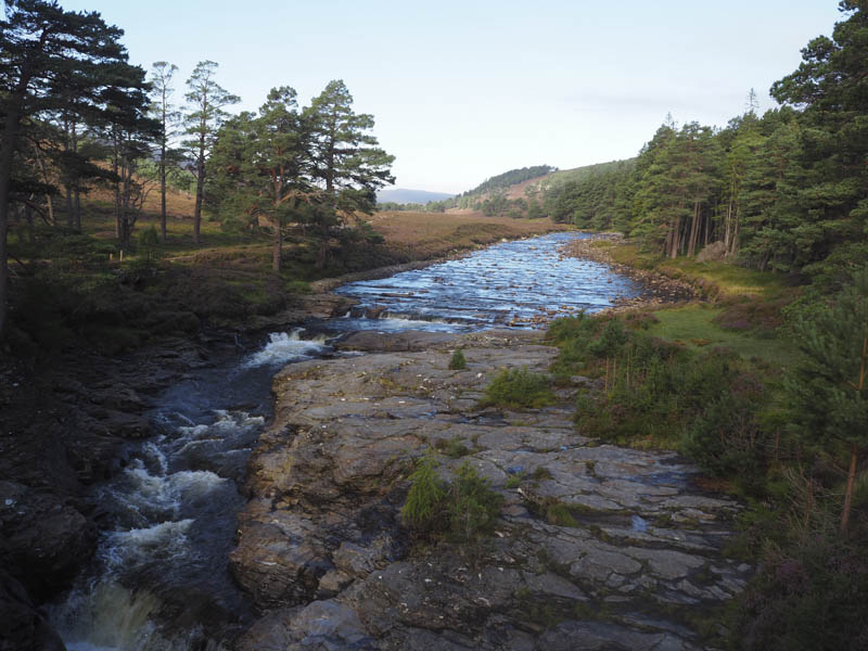
The White Bridge (not actually white) was reached in around an hour and here the track split.
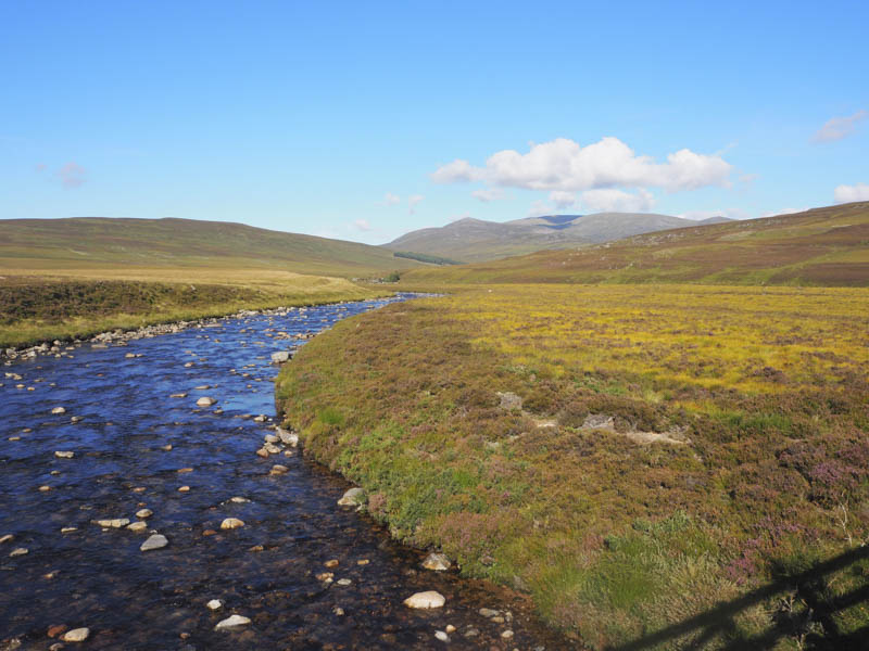
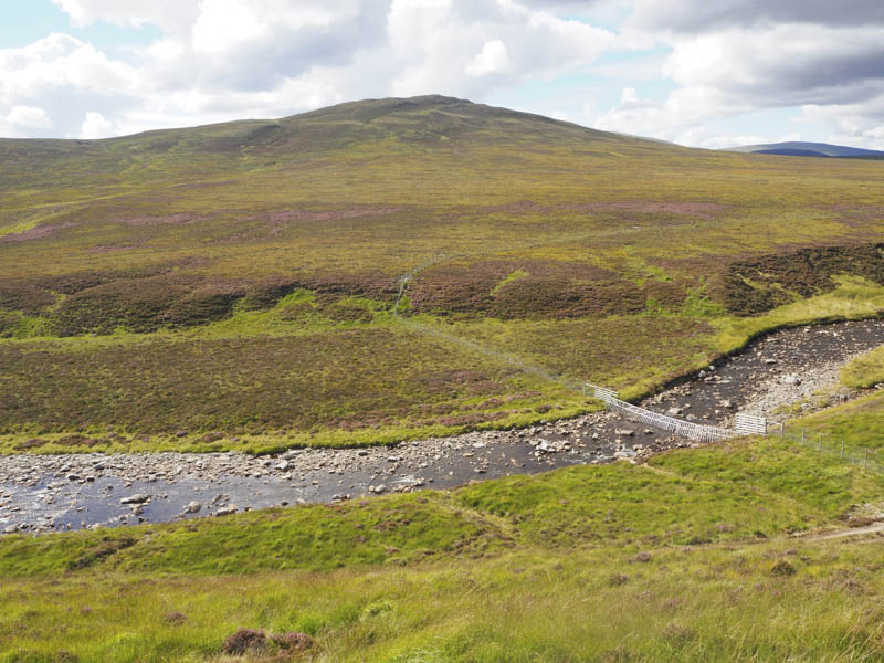
There were paths on either side of the River Dee, Right of Way to Coylumbridge, while the vehicle track continued south-west then south along the west side of the Geldie Burn. I followed the latter passing the ruins at Ruigh nan Clach to a junction of tracks and the ford across the Geldie Burn. The track west along the north side of the Geldie was the Right of Way to Glen Feshie.
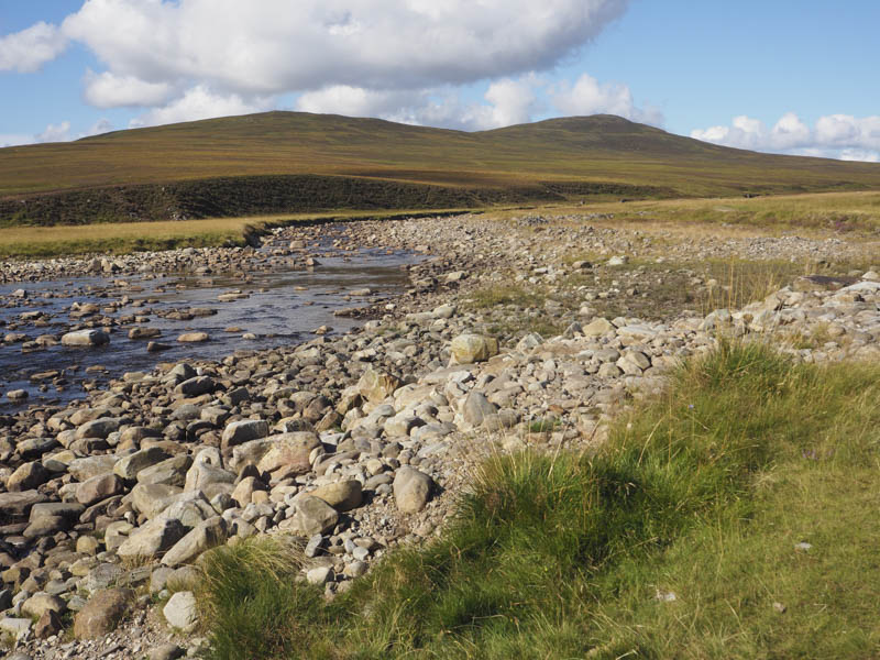
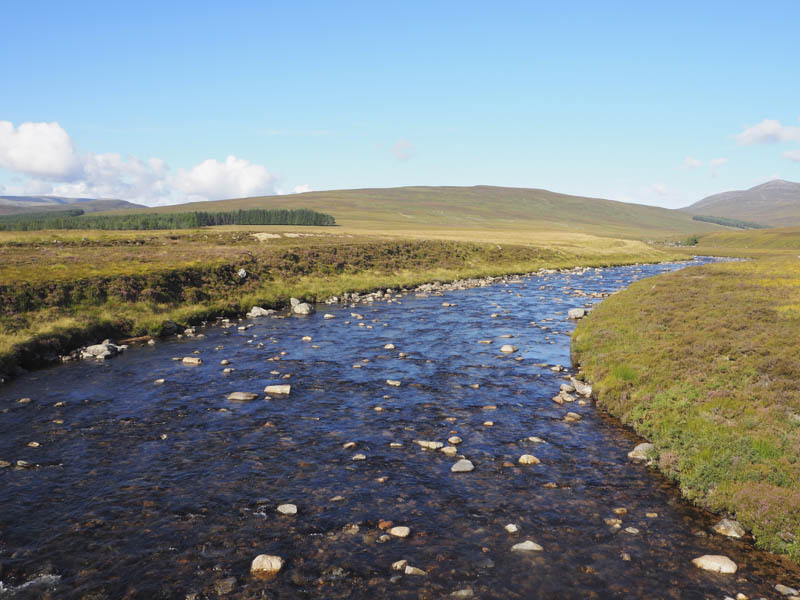
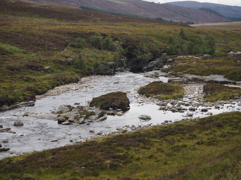
The crossing of the ford was easy as the water level was low revealing numerous boulders. I stopped at the small island near the south bank for a coffee break as there were fewer midges here. A cyclist arrived to cross the ford and opted to remove his footwear.
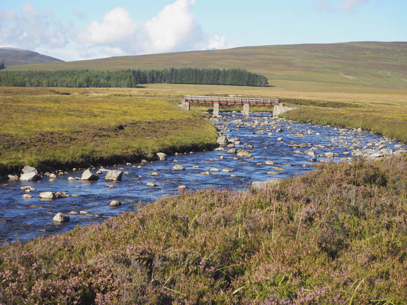
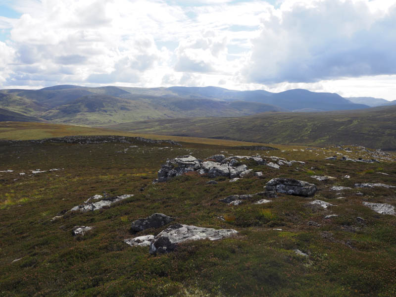
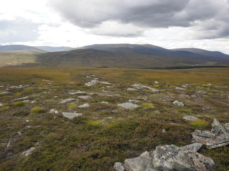
After the break I walked along the vehicle track on the west side of the Bynack Burn, Right of Way to Blair Atholl, and soon reached another ford. My map showed a path continued along the west side of the burn but if that was the case it was overgrown with vegetation and wasn’t obvious. Anyway at some point I had to leave the path to ascend Cnapan Garbh so this was as good a time as any. I climbed south-west through heather and deer grass later coming across an ATV track. I had spotted the start of this track after crossing the Geldie but had no idea where it went. I followed the track to just before the summit of the East Top of Cnapan Garbh then climbed to its cairn. The highest point of this unclassified hill appeared to be an outcrop further west.

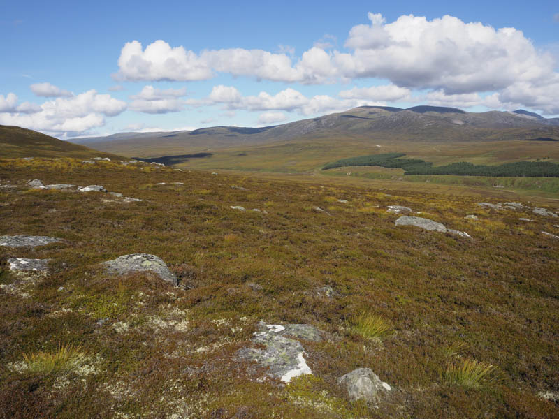
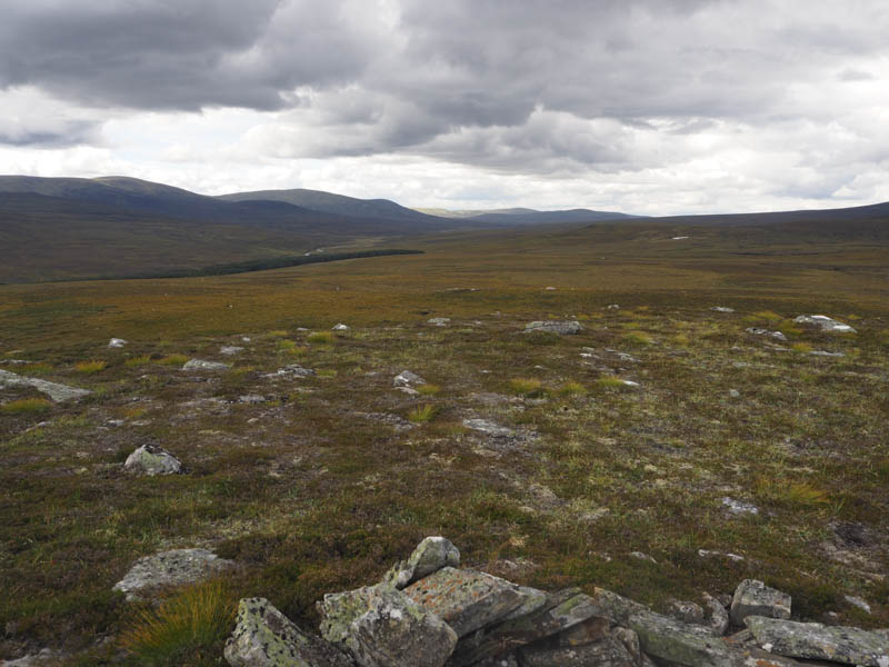
A slight descent west on a path led to a marshy area of vegetation and once through it I climbed to the summit of Cnapan Garbh, the highpoint of this Graham Top, marked by a cairn.
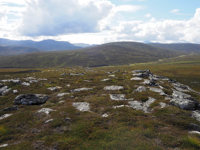
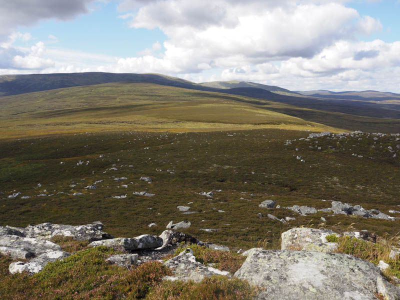
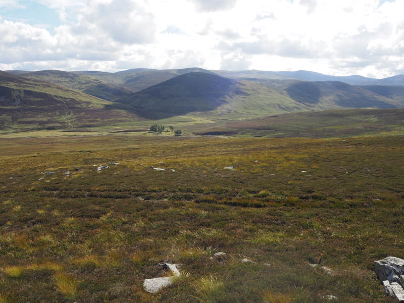
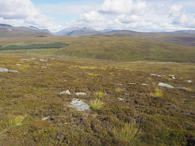
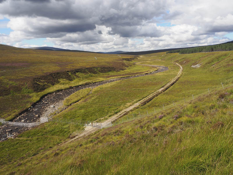
From there I descended north-east through long heather and a few boulders before lower down the gradient eased as I crossed some rough ground to reach a new deer fence which was followed to the Geldie Burn. I found a suitable crossing point to the east then it was onto the estate track on the north side of the burn. A couple of large gates had been installed here apparently to prevent deer and hares entering the area to the west which was under regeneration.
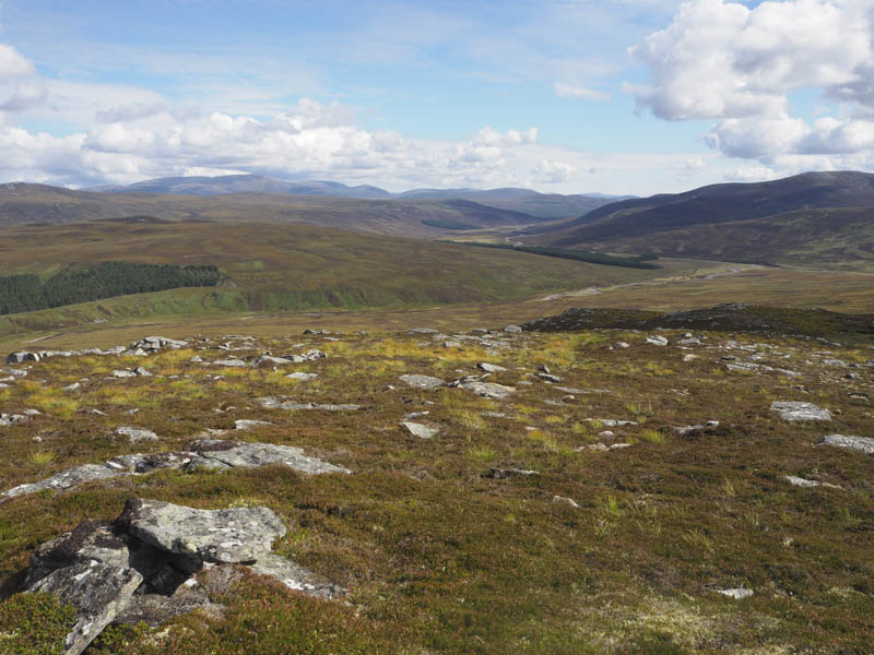
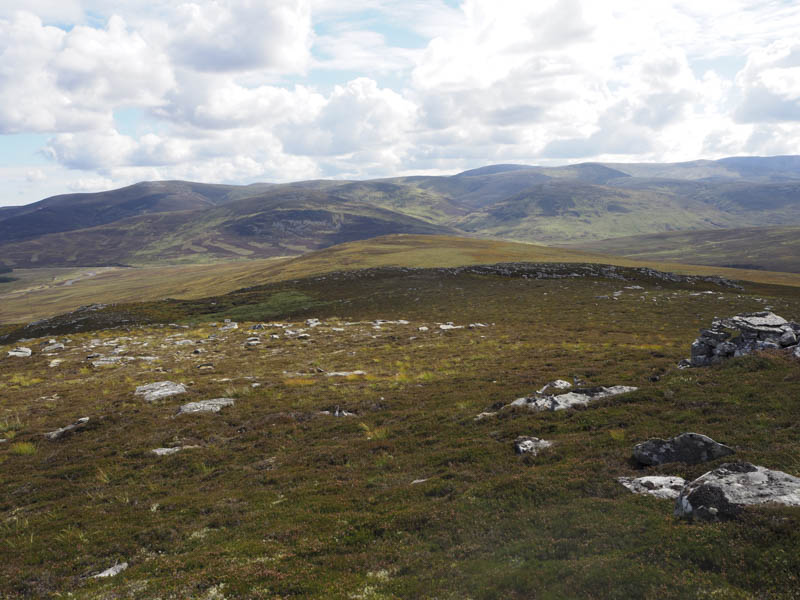
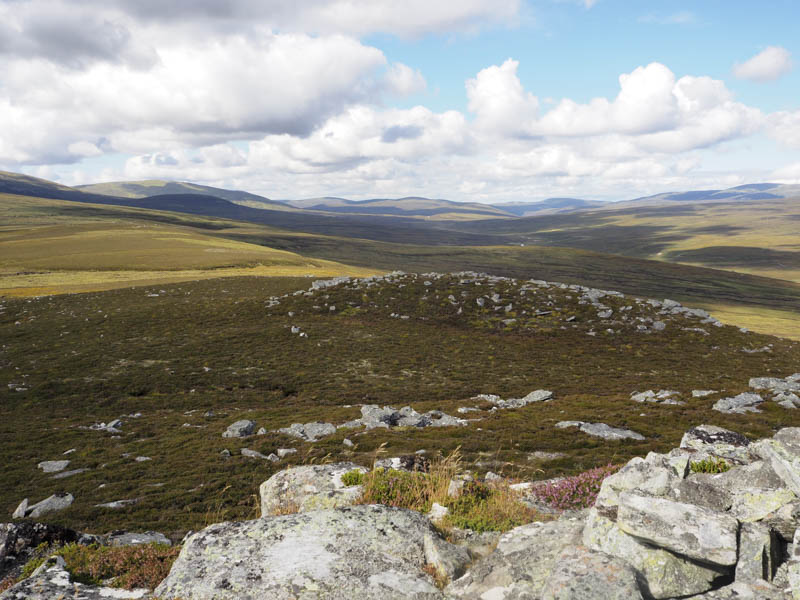
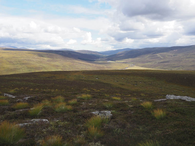
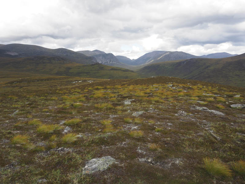
A brief steep climb of an embankment led to the edge of mature trees where the gradient eased. I continued north across mixed vegetation and some boggy ground before making the final short steep climb, avoiding the boulders, to the cairn marking the summit of the Graham Top, Cairn Geldie. It had clouded over by this time and with a light breeze to keep the midges at bay it was time for lunch with views of the Cairngorms.
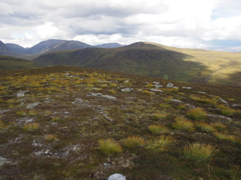
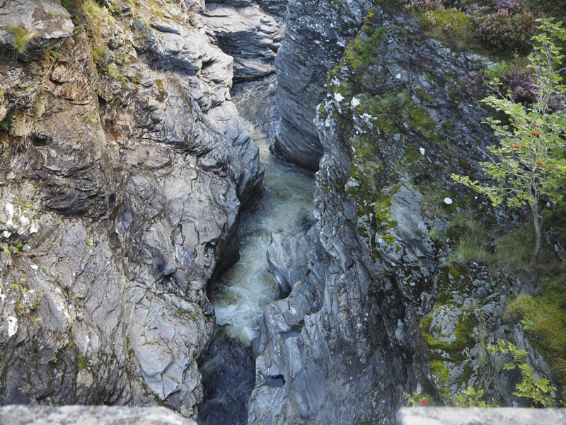
Thereafter I descended north-east through more heather and a few boulders then some rough vegetation before joining the path on the west side of the River Dee, north of the Chest of Dee. This path was followed back to the White Bridge then I returned to my car by the outward route.
- Time taken – 6.25 hours.
- Distance – 21 kilometres.
- Height climbed – 515 metres.