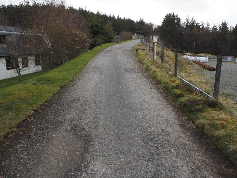
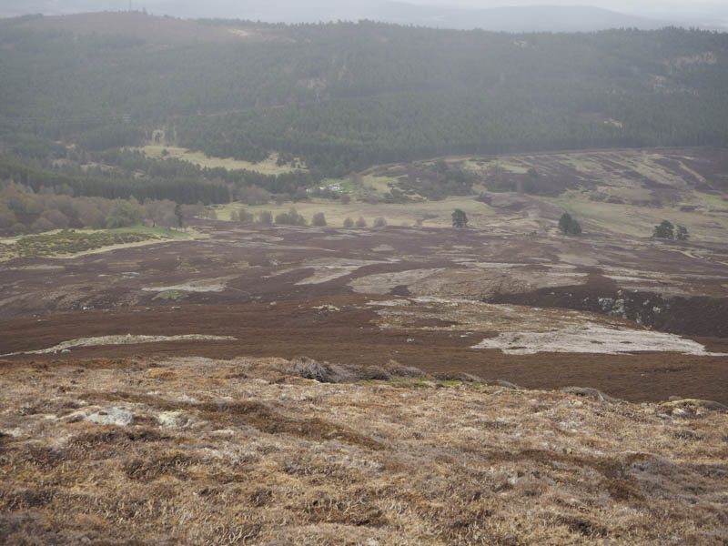
I left my vehicle beside the Slochd Ski Centre, accessed from an old section of the A9 south-east of Inverness, and walked across the railway bridge then south on a vehicle track through the forest, gradually losing some height.
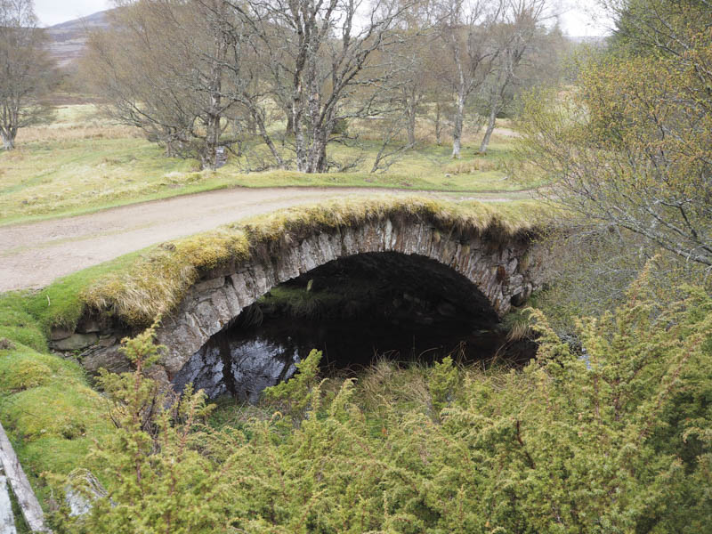
On reaching the house at Insharn I went right through a stock gate, crossed the bridge over the Allt an Aonaich, and a few metres further west at another track junction turned left
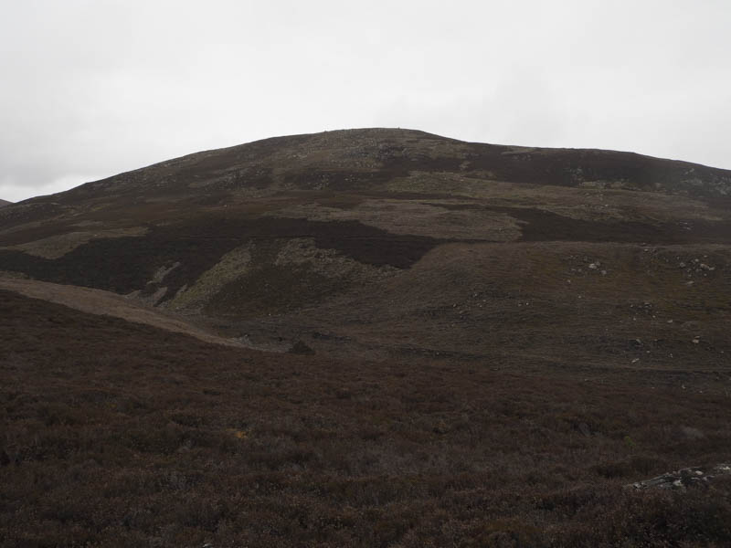
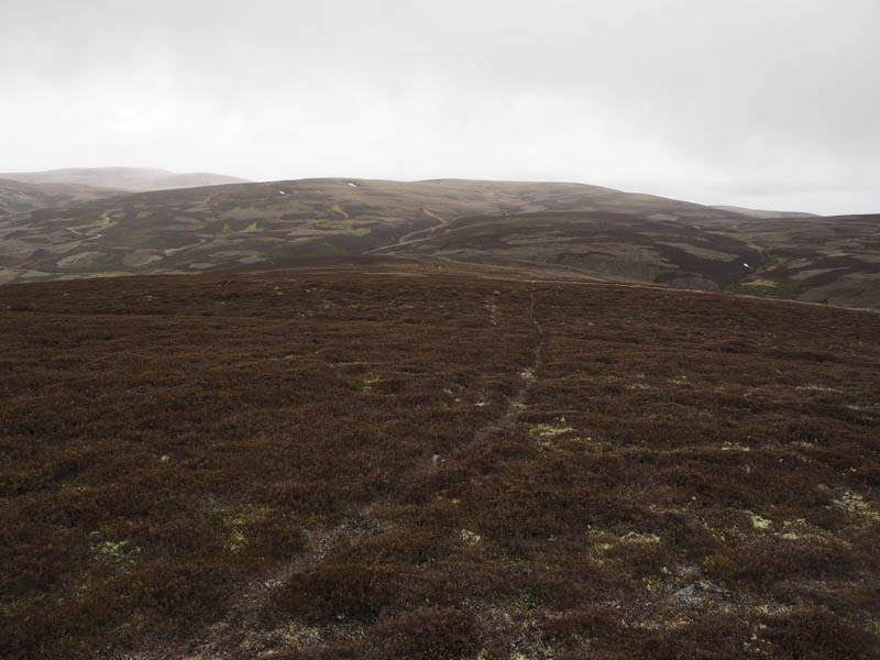
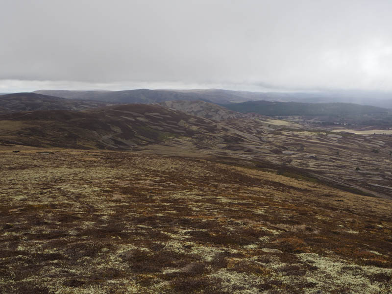
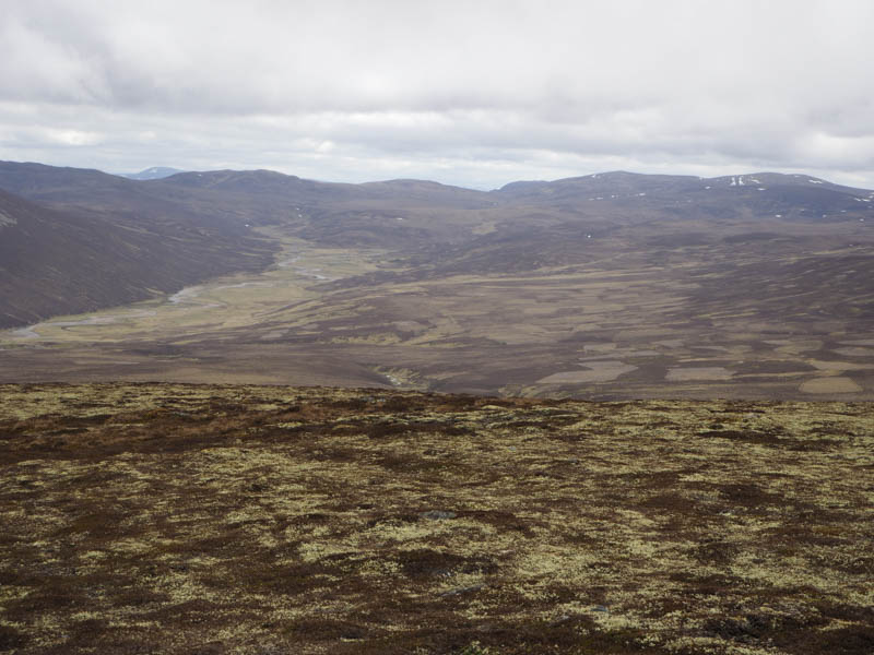
. At a second split in this vehicle track I took the higher route which ran below the Tump, Carn an Ailean. I soon left this track and climbed through heather of various lengths caused by years of muirburning avoiding the juniper bushes.
The cairn shown on the map was reached and here I walked round a gully with a slight loss of height before continuing my ascent of Carn an Ailean through more heather of mixed lengths.
The summit cairn and trig point was reached but its highest point was an embedded rock amongst heather some 130 metres to the west.
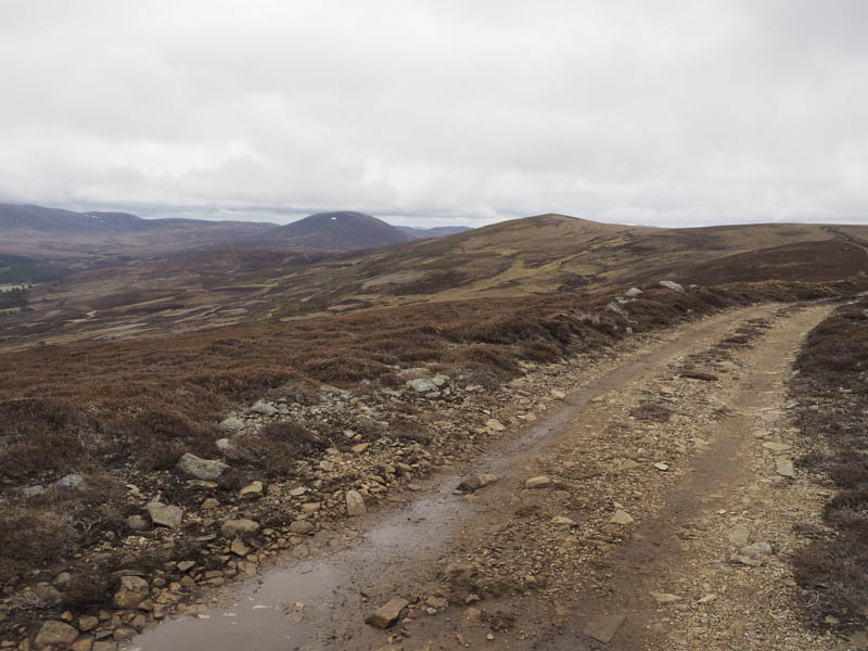
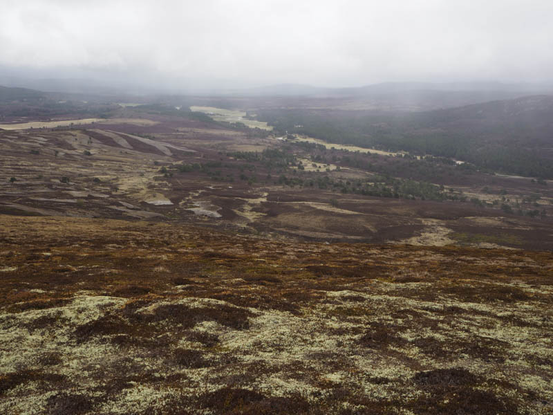
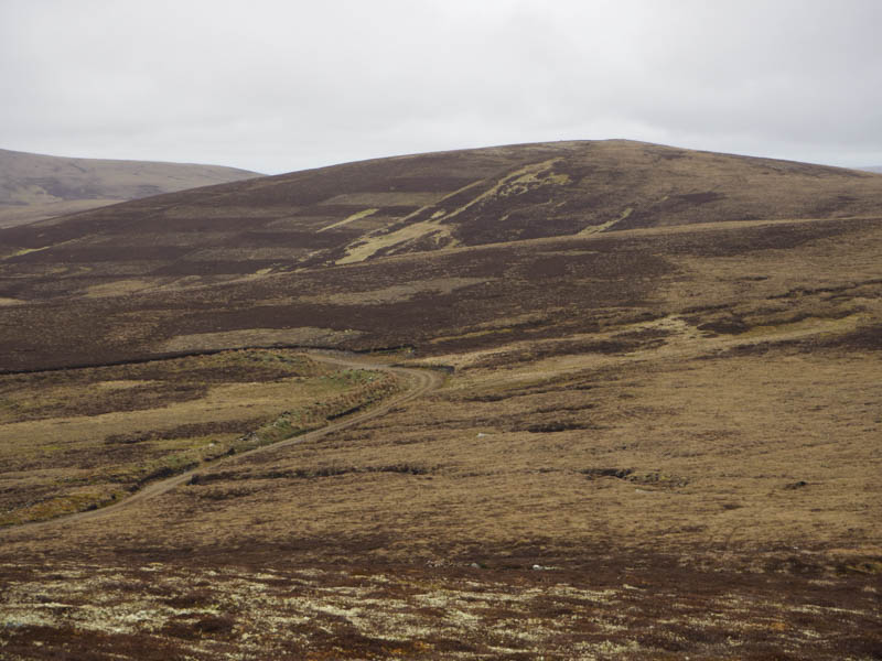
After visiting this point and taking a break sheltering behind the cairn from some drizzle, I descended south-west through more burnt heather to rejoin the vehicle track east of another junction, where I passed a couple of chaps going in the opposite direction. At the track junction I descended steeply to the ford on the Allt-Leth-allt. Once over this burn it was a steep climb south and here I was overtaken by a chap driving a 4 by 4. The gradient later eased briefly before the track turned west onto Carn Mheadhoin.
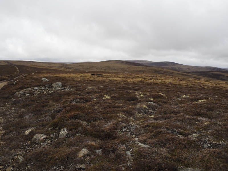
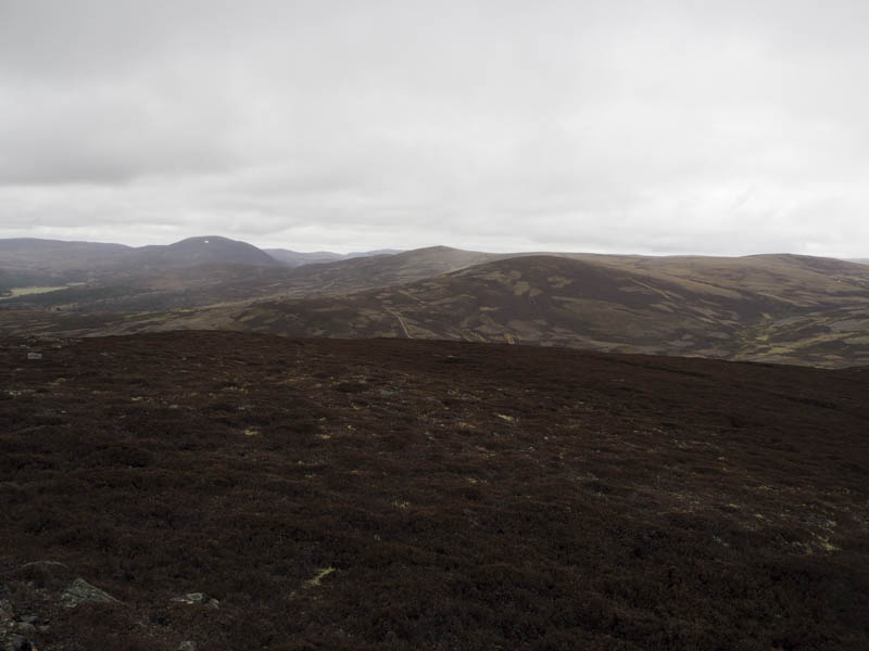
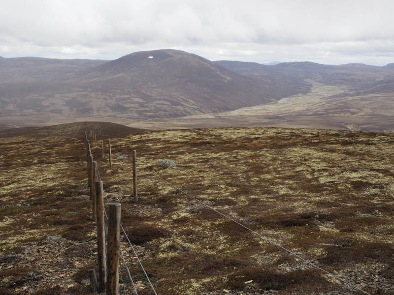
There was a slight loss of height before I regained it and more as the track headed round the north-east side of the 609 metre knoll where it came to an end and here the driver of the 4 by 4 was seated in his vehicle. Before this point I left the track and crossed some wet ground to reach a stock fence and electric wire which may not have been functioning as the wire was touching the ground in a couple of places. I then followed these fences west across wet and boggy ground to reach the cairn marking the summit of the Graham Top, Carn Coire na Caorach without the requirement to cross the fences.
I returned to the track, the 4 by 4 had gone, and briefly walked south before leaving it to cross more wet and boggy ground to rejoin the fences north of Sguman Mor. I then ascended this Graham Top with the summit cairn at a junction of fences so again there was no requirement to cross them.
After a break at the summit I returned to the track and followed it and others back to Insharn and the start.
- Time taken – 5.75 hours.
- Distance – 17.5 kilometres.
- Height climbed – 640 metres.