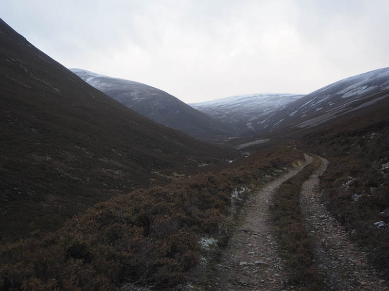
I parked beside the telephone kiosk at Inverey, west of Braemar, and initially walked west across the bridge over the Ey Burn then along the vehicle track to the house at Loin-a-veaich. Here a padlocked barrier prevented vehicular access to an estate track which was in reasonable condition and was followed south-west through the pine trees and onto the open hillside.
The track later headed west above the Allt Cristie Mor then the Allt Cristie Beag on a gentle gradient.
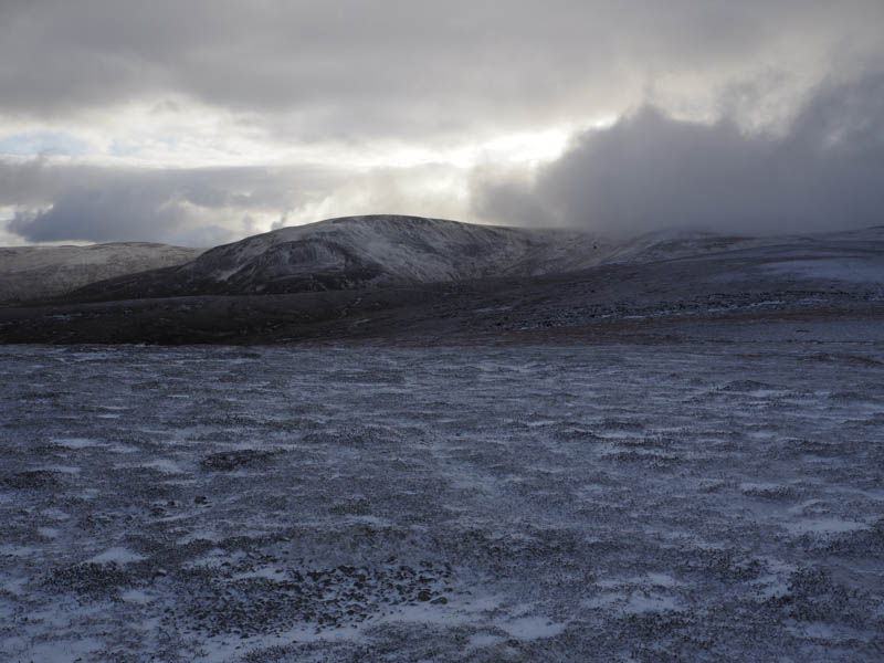
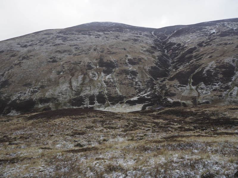
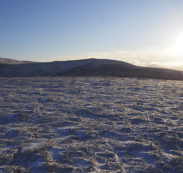
There were several light snow showers but no evidence of the forecasted strong wind. Higher up the gradient increased before the track came to an end replaced by ATV tracks heading west and north.
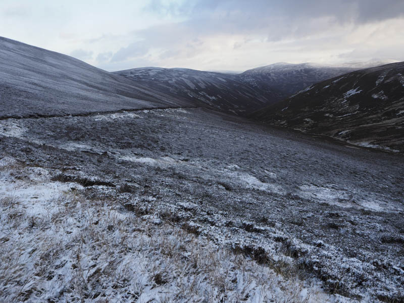
It was now quite windy as I followed a boggy and icy path south-west onto the north ridge of Geal Charn’s Far North Top and an ATV track before ascending this Sub Simm.
From its summit cairn I descended south-west across heather to the wet col with Buachaille Breige and climbed to the cairn which appeared to mark the high point of this Graham Top. I found a bit of shelter for a bite to eat before descending through the heather dusted with snow to reach the col with Buachaille Breige West Top then onto the summit of this Graham Top marked by a couple of stones.
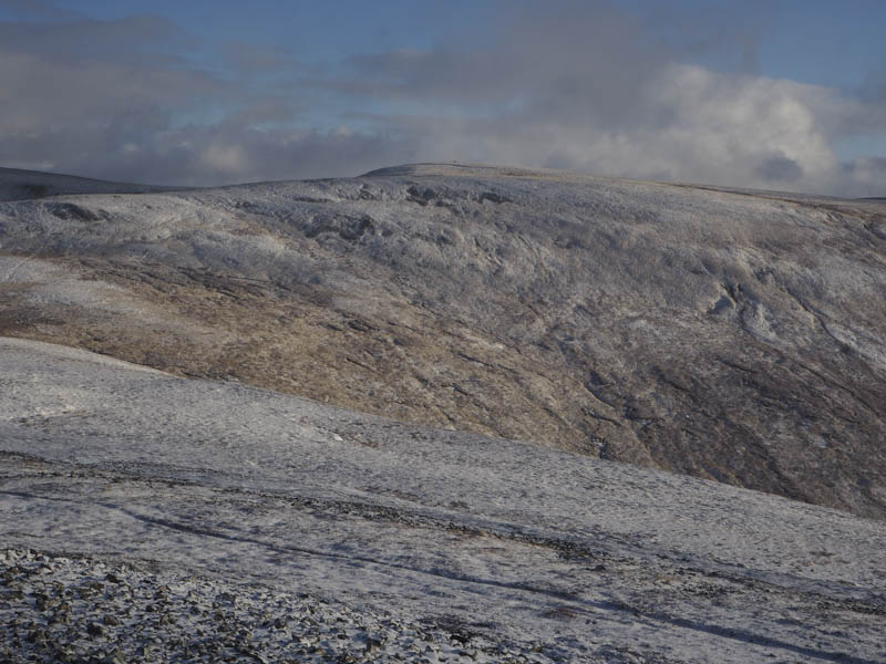
A short descent and re-ascent west took me to the Sub Simm, Buachaille Breige Far North Top, where there was a cairn marking its summit.
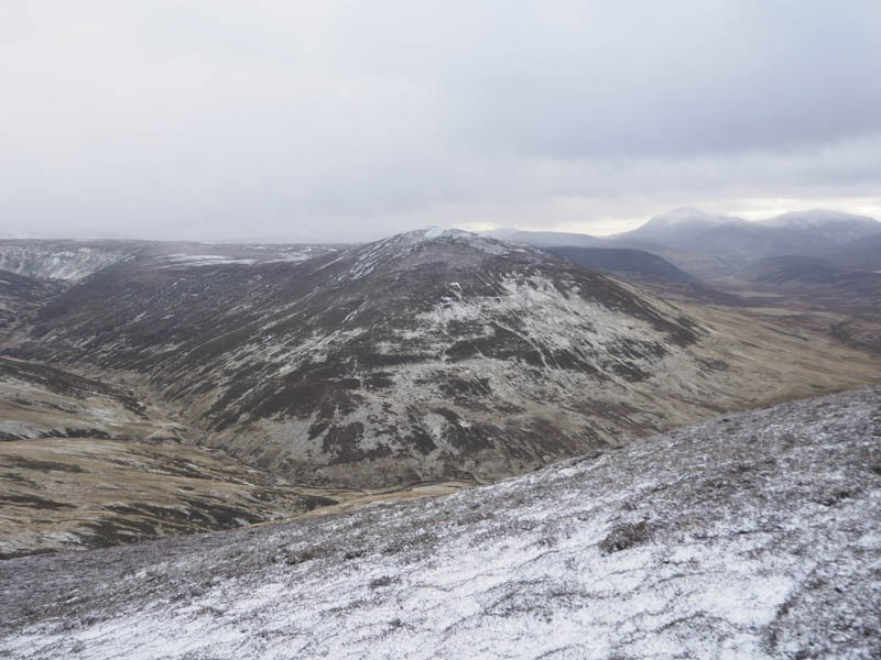
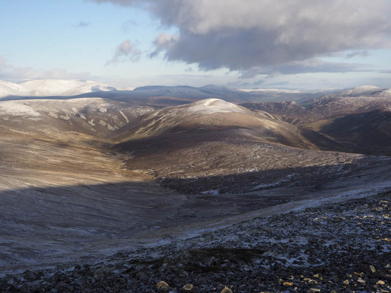
I then descended south through heather and grassy vegetation to the Allt Bhronn were there were enough stones to make the crossing relatively easy. It was then a fairly steep climb to gain the summit of the Graham Top, Meall Tionail where there was a cairn.
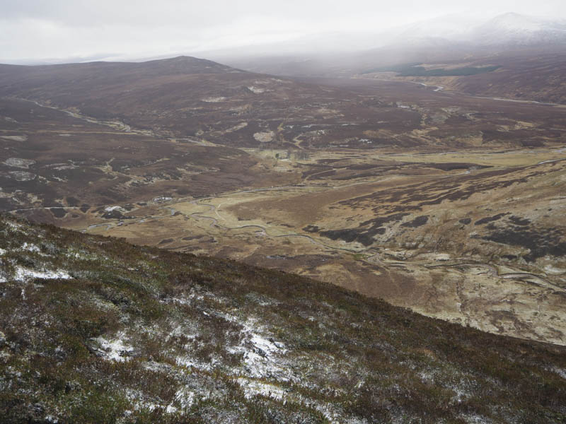
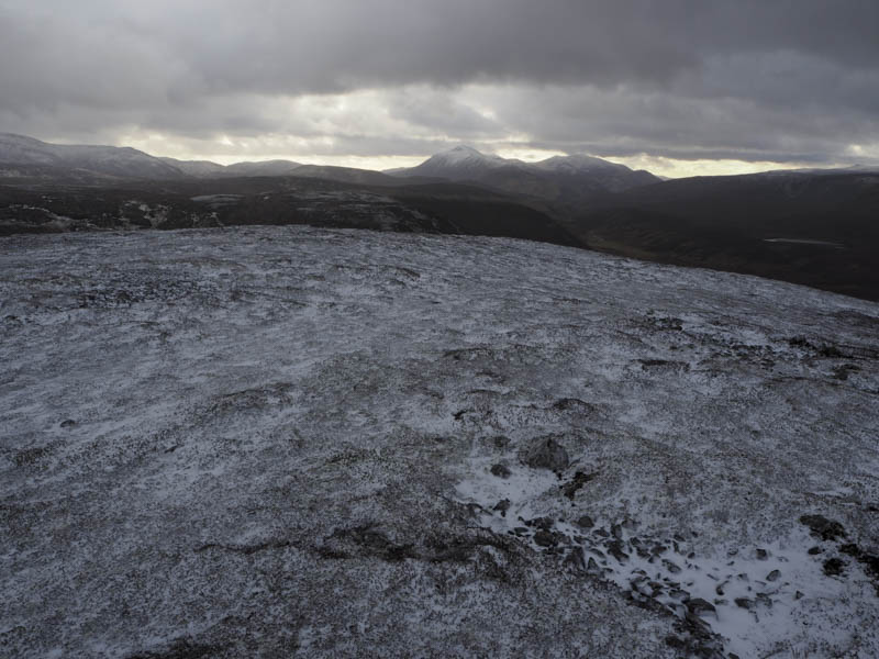
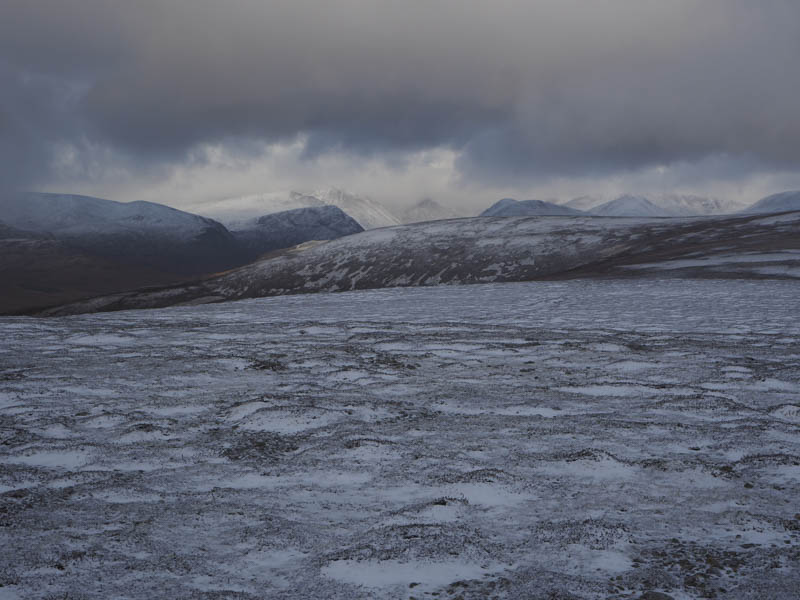
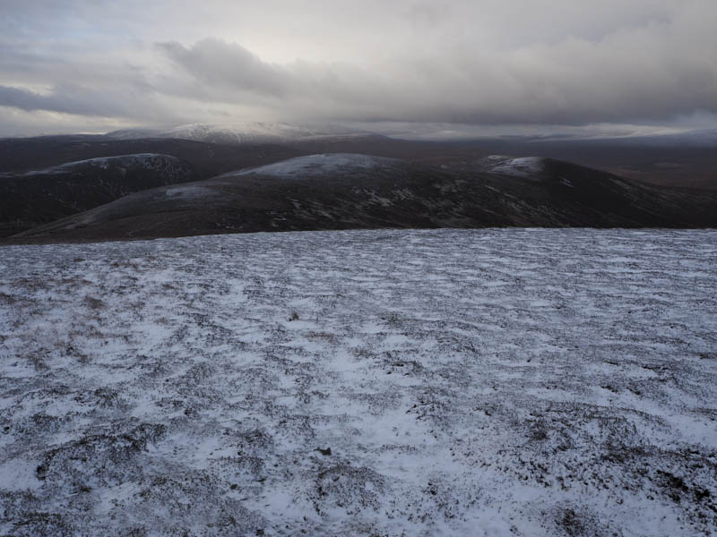
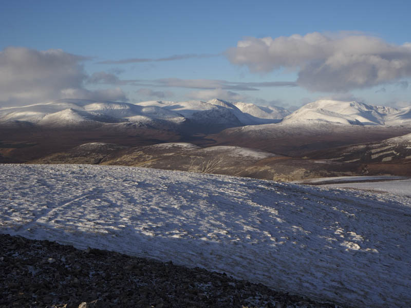
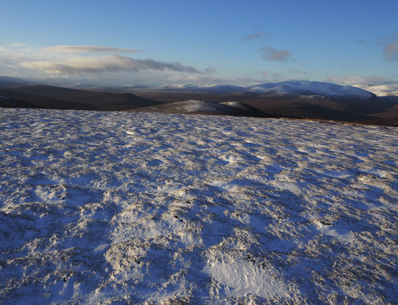
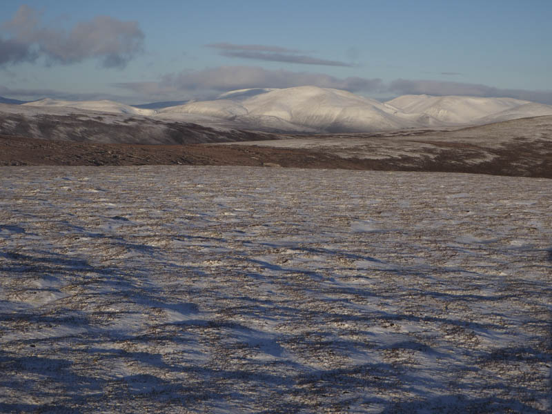
The easiest but longer route back to Inverey appeared to be to include Geal Charn which I’ve ascended several times while en-route to the Munro, Carn Bhac. Although still windy the frequent light snow showers had ceased and it looked like the weather was improving. I descended south-east on short wind cropped heather making for easy walking but this was short lived as beyond the col with Geal Charn the vegetation was tussoky with pools of water and some peat hags which slowed my progress. The ground later steepened and the walking conditions improved as I climbed to the shelter cairn marking the summit of this Corbett Top. There were now good views of the snow covered Cairngorms.
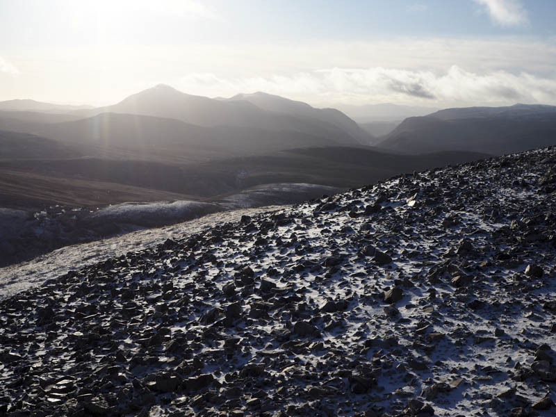
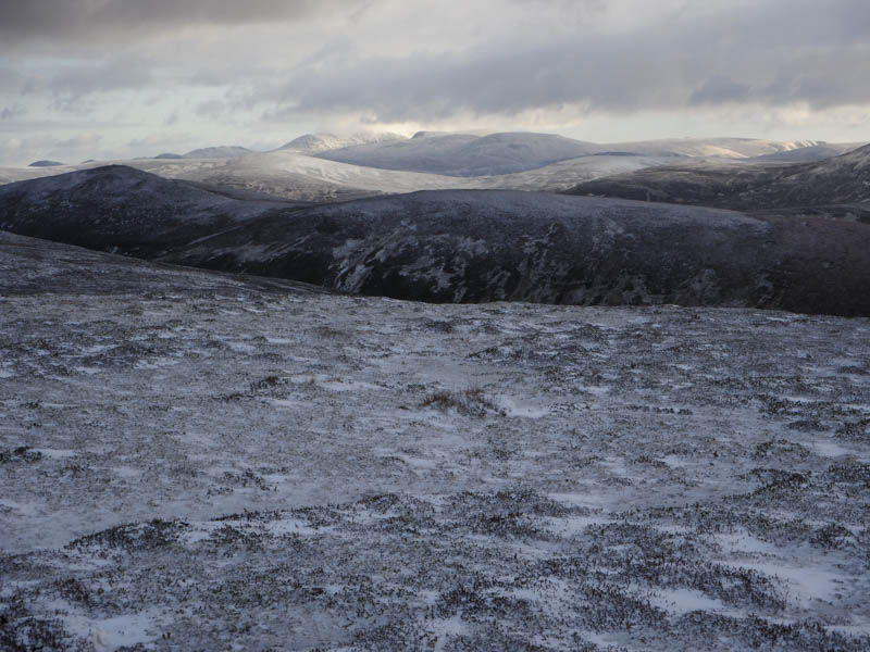
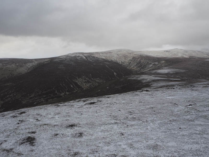
The cairn afforded shelter for a late lunch before I descended north along a snow filled walkers path to Geal Charn North Top, a Sub Simm.
The continuation north was on some snow covered wet and boggy ground churned up all terrain vehicles. On reaching Geal Charn Far North Top I retraced the morning’s route back to Inverey arriving at my car as dusk fell.
- Time taken – 7.5 hours.
- Distance – 24.5 kilometres.
- Height climbed – 1035 metres.