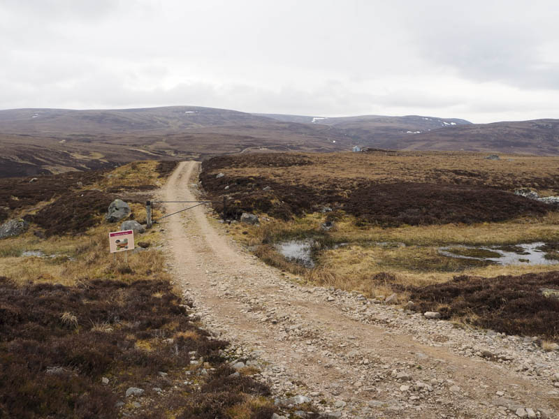
I headed to Glen Kyllachy reached along the narrow single track road that runs from Farr in Strathnairn to Garbole in Strathdearn, known locally as the Garbole Road, parking at the start of the vehicle track at grid reference NH725262.
On setting off I walked round a locked barrier then followed the vehicle track as it descended west past a stalker’s hut.
Here I left the track and walked through rough vegetation, initially on the north side of a small stream. I then climbed over the lower end of the south-east ridge of Carn Glac an Eich before crossing a rough gully and ascending the Sub Simm, Carn na Saobhaidh Far East Top.
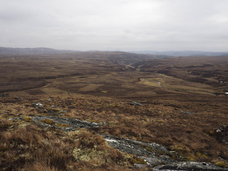
The descent west took me across a new vehicle track, not on my map, that ran north to south and would have made the ascent of the Sub Simm and my next hill easier.
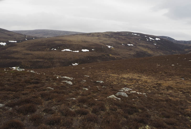
More rough walking took me towards the col between Carn na Saobhaidh East Top and Carn Odhar. I ascended the former visiting a few rocks as I couldn’t tell which was the highest.
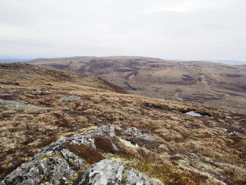
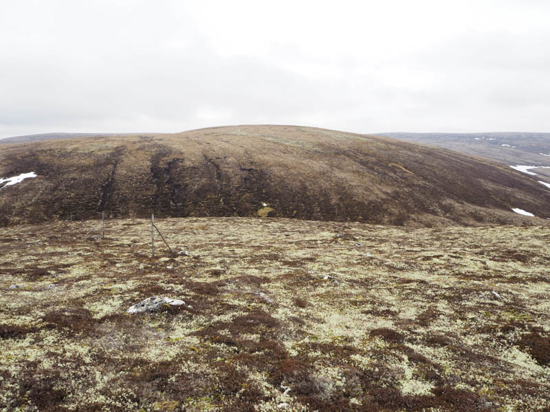
From this Graham Top I descended steeply south through long heather and boulders then a steep ascent onto Carn Odhar before the gradient levelled out with the ground now consisting of tussocks and pools of water. The actual highest point wasn’t obvious.
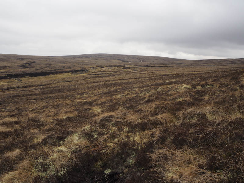
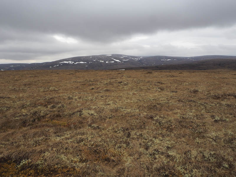
I continued south with the area pitted by peat hags but underfoot conditions improved as I ascended Carn an Rathaid Dhuibh, again I couldn’t say with certainty the location of its highest point. There were more peat hags to cross before I descended east through easier ground to the vehicle track beside the Allt Tarsuinn.
After a short drop the vehicle track headed south then south-east passing to within 100 metres of the summit of Aonach Odhar. I made the short diversion to climb to the summit of this Graham Top, marked by a small mound.
On returning to the track I followed it north-east for a couple of kilometres to a junction of tracks where I joined a vehicle track going north, passing another junction. After a further couple of kilometres, and beyond a ford, I rejoined the track beside the stalker’s hut and made the short ascent back to my car.
- Time taken – 4.25 hours.
- Distance – 12.75 kilometres.
- Height climbed – 485 metres.