I left my car in a lay-by at Annat on the A896 Torridon to Shieldaig Road and walked briefly east onto the hill path for Coulags and Achnashellach.
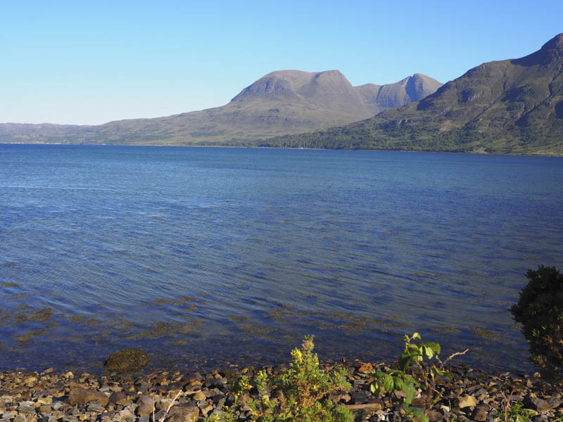
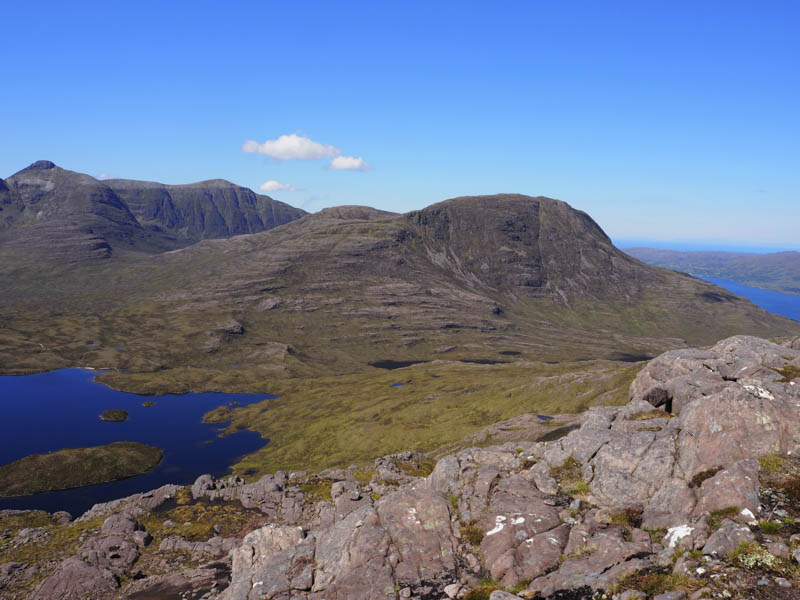
The rough path consisting mainly of stone and boulders headed south-east running below the Graham, Beinn na h-Eaglaise.

A short distance after crossing the outflow from Lochan Domhain I left the path and commenced the ascent of Meall a’ Chuail which involved climbing through heather avoiding the crags.
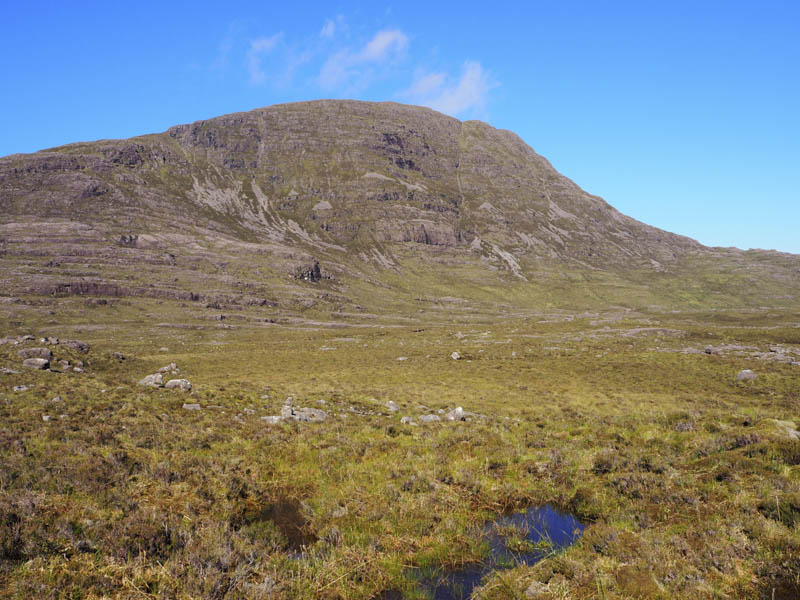
Higher up it became quite steep before easing off as I approached the summit of this Sub Dodd, an outcrop marking its highest point.
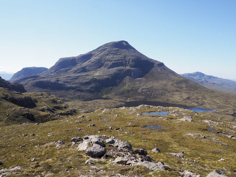
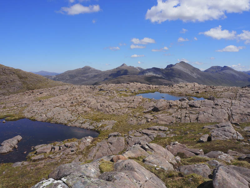
It was windy here but sunny so I sat for a while before descending south to the col with Meall Dearg. I then worked my way round this hill to the south initially gaining some height as I avoided some slab rock then east loosing height as I headed through lots of boulders and rough vegetation before ascending the Sub Dodd, Meall a’ Bhealaich Bhain. Its highest point was some slab rock.
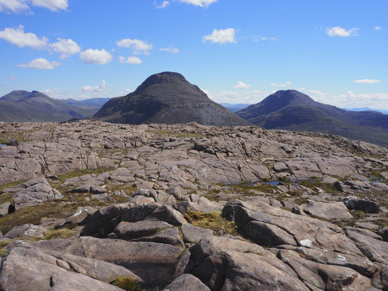
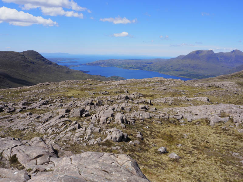
I then made the short descent to its col with Meall Dearg and ascended this Hump and Graham Top through numerous, boulders, rocks and crags to reach a rock marking its summit.
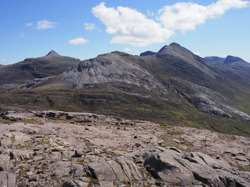
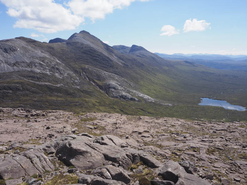
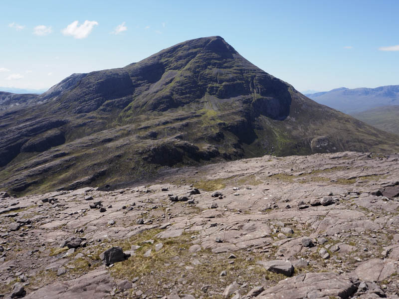
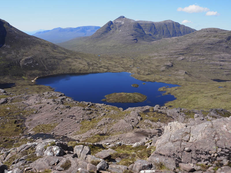
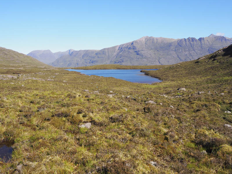
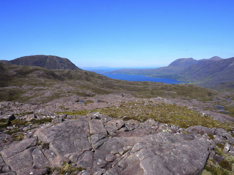
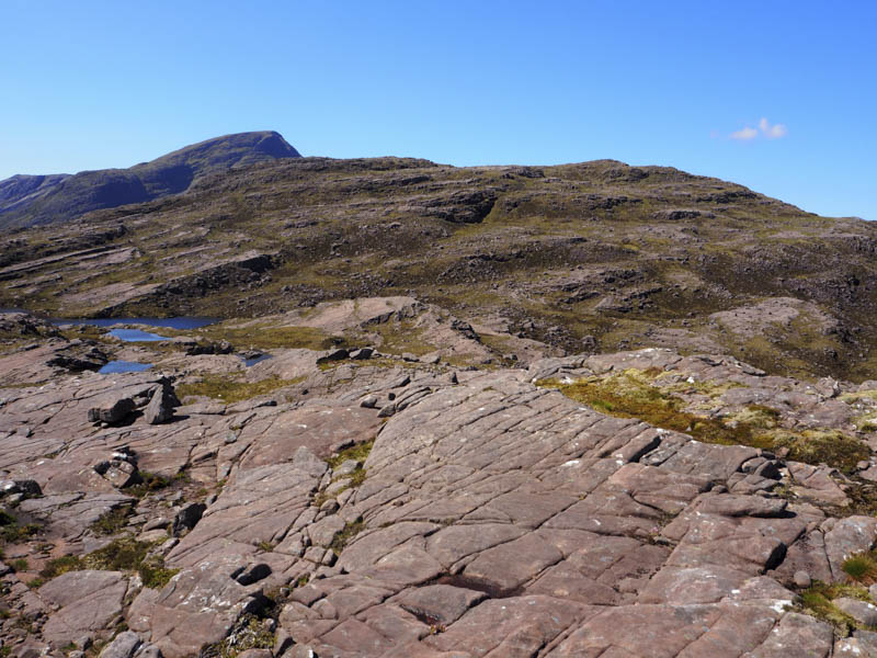
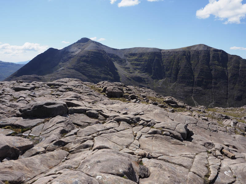
The initial descent was west but the ground became steep with lots of crags and in the end I was forced to head north-west towards the col with Meall a’ Chuail. From near this point I was able to descend south-west to the path on the north side of Loch an Eion. I walked north-west along this path to a junction then south-west along a path on the north shore of the loch to its outflow. Once across it I commenced the ascent of Beinn na h-Eaglaise South Top. Initially the slope was fairly gentle but higher up it steepened as I headed through some boulders. I found this section of the ascent hard work. On approaching the summit I met a chap heading for the Graham, Beinn na h-Eaglaise, by-passing the summit of this Graham Top. Hope he doesn’t regret missing out this hill in future years.
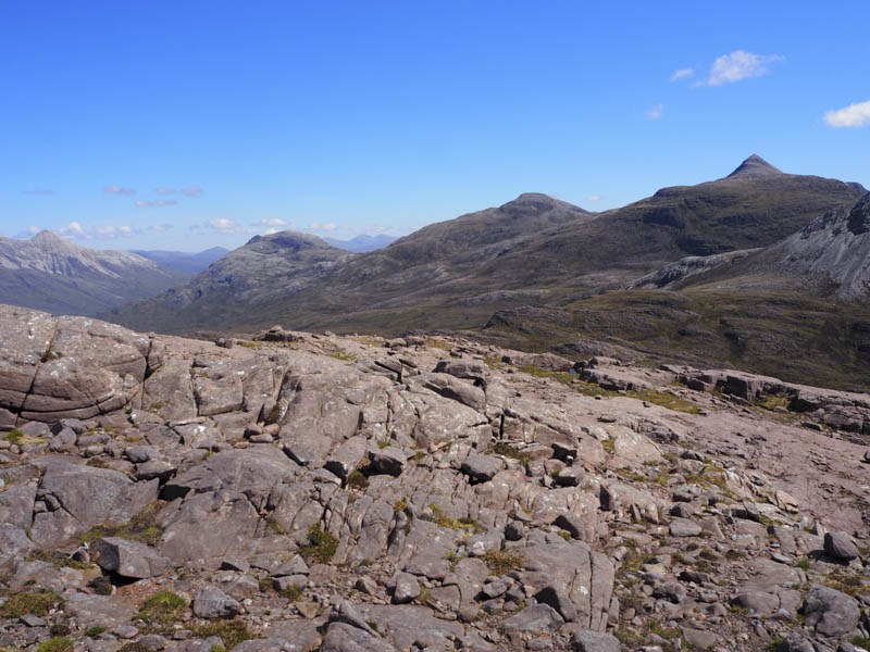
After partaking of food at the highpoint of this hill, some slab rock, I descended north then north-west through rough ground including boulders and slab rock before working my way west to join the rough path, boggy in sections and obviously used by mountain bikers, to reach the Allt Coire Roill which was easily crossed above the gully. The path then descended through the trees to the A896 around 750 metres west of Annat.
- Time taken – 7.25 hours.
- Distance – 17.5 kilometres.
- Height climbed – 1145 metres.