Checking the weather forecast for the weekend, Saturday appeared to be the better day for a trip to Strath Avon to climb a few tops on its east side.
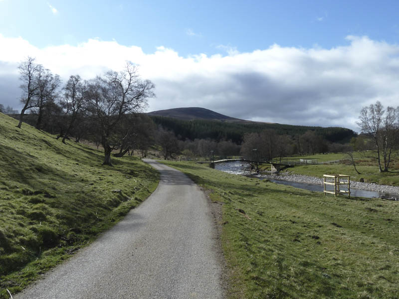
The car park at Delnabo, south-west of Tomintoul, was empty when I arrived and once geared up I set off for the cycle up Strath Avon using the tarred road through Delnabo and to the large iron gates at Birchfield. A pedestrian gate permitted a continuation up the glen to just beyond the property at Torbain where I secured my bike.
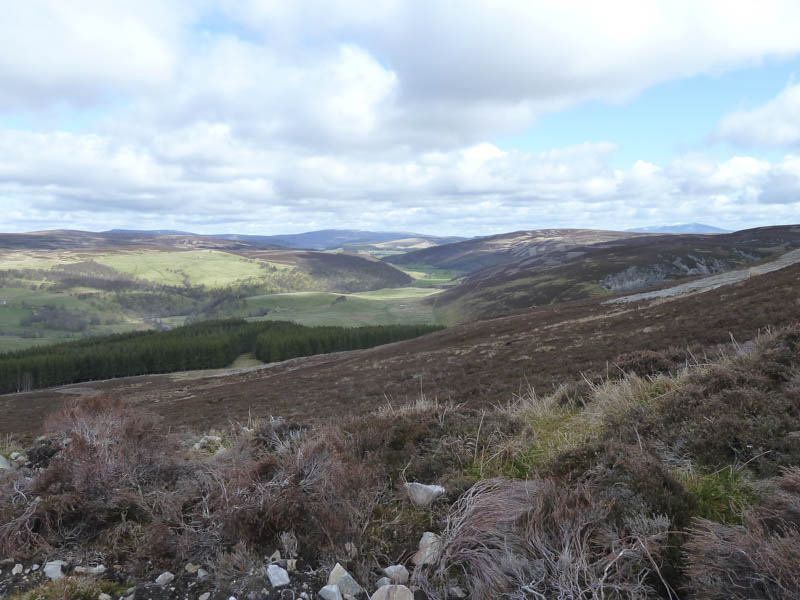
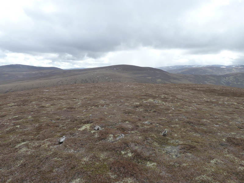
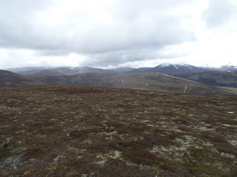
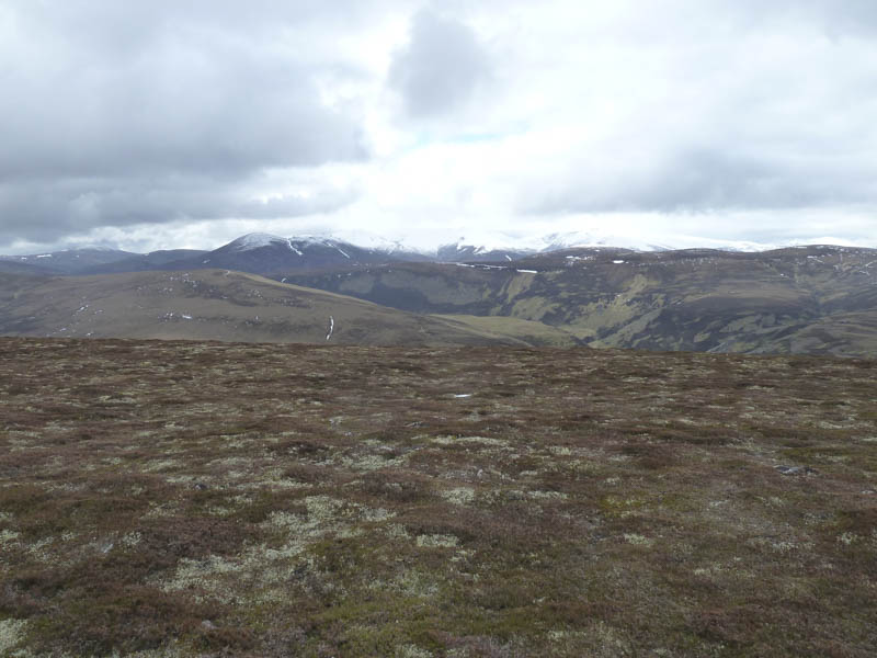
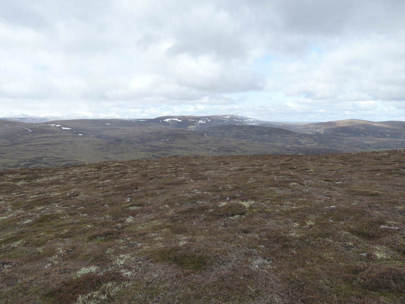
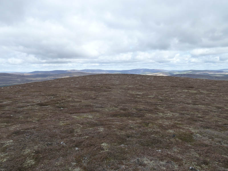
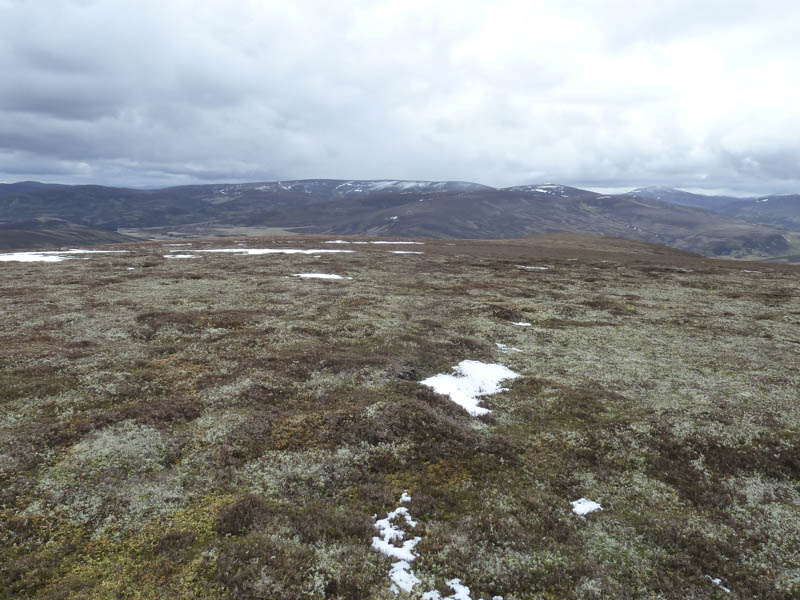
I then walked south-east, soon turning east, along an estate track to an unlocked gate in a deer fence although there was also a stile to the right. It was a gradual climb with the track turning to the south and higher up it was filled with snow. From tyre marks the snow had prevented an estate vehicle from making further progress. Near the track’s high point I left it, crossed mainly windswept heather, to reach the cairn marking the summit of the Hump and Graham Top, Liath Bheinn. I took a break here looking across to Ben Avon and Beinn a’ Bhuird which were well coated in snow. The earlier sunny conditions had been replaced by cloud with a light snow shower these were then quite frequent during the remainder of the walk.
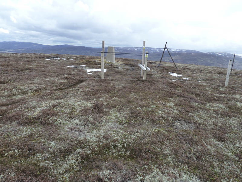
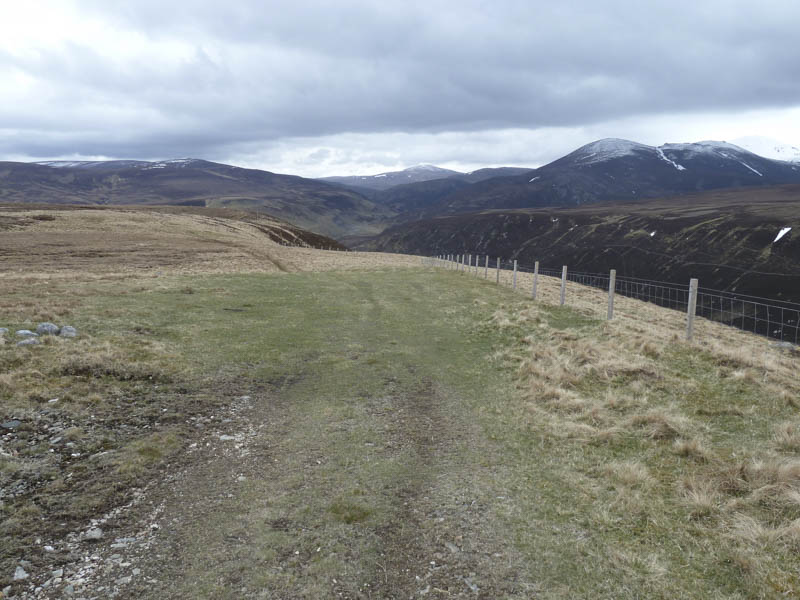
I descended Liath Bheinn’s south-east ridge and briefly re-joined the estate track before it came to an end just before the wet col with Craig Veann. I commenced the ascent of this Graham Top through mixed underfoot conditions following a line of shooting butts. Mountain hares were prevalent, some still with remnants of their winter coat. Higher up peat hags were crossed then on approaching the summit of Craig Veann I was confronted by twin fences. The top wire on one and the three strands on the other were electrified but a crossing point had been constructed to enable me to reach the trig point on this Graham Top.
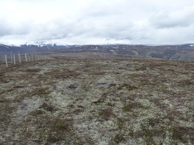
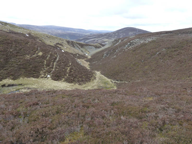
I didn’t linger here and with the electric fences running along my planned route I had to decide which side to follow. I opted to re-cross the fences then descended south-west later crossing some wet and boggy ground. There were a few signs attached to posts indicating fence crossing points at 500 metres in both directions but I passed a few of these points and some weren’t that far apart. At the col with Carn Bad a’ Ghuail there was an interesting gully named ‘The Eag’ at the head of the stream Burn of Little Fergie.
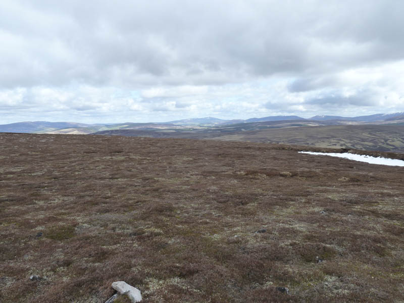
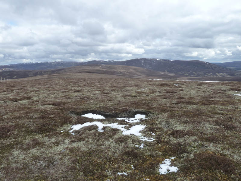
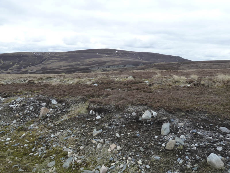
It was then a short climb onto the rather flat summit of Carn Bad a’ Ghuail where I found it impossible to work out the highest point of this Graham Top which may have been a fence post.
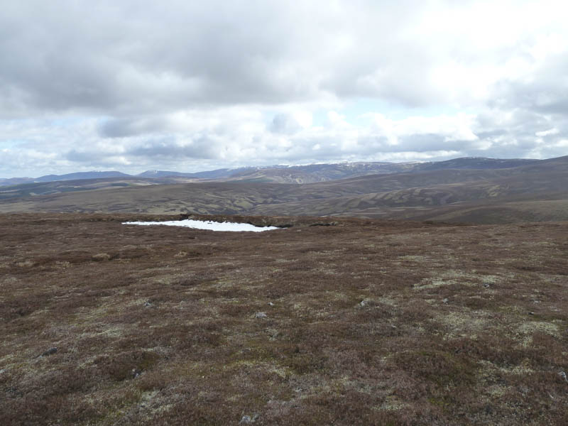
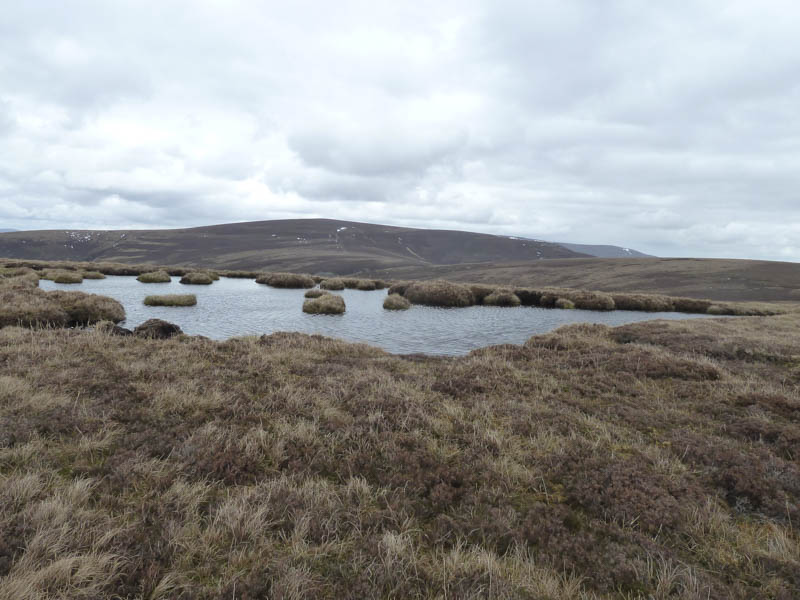
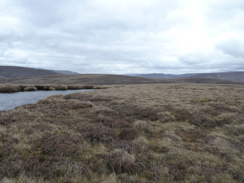
A short descent west took me to the col with Foal’s Crag where there was a drove of hares. I counted at least seven as they ran off in different directions. An easy climb took me onto Foal’s Crag, a Sub-Simm, where once again there was nothing indicating the highest point although I thought it may have been a clump of grass beside a lochan.
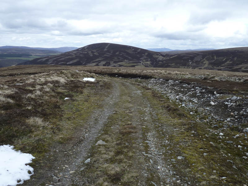
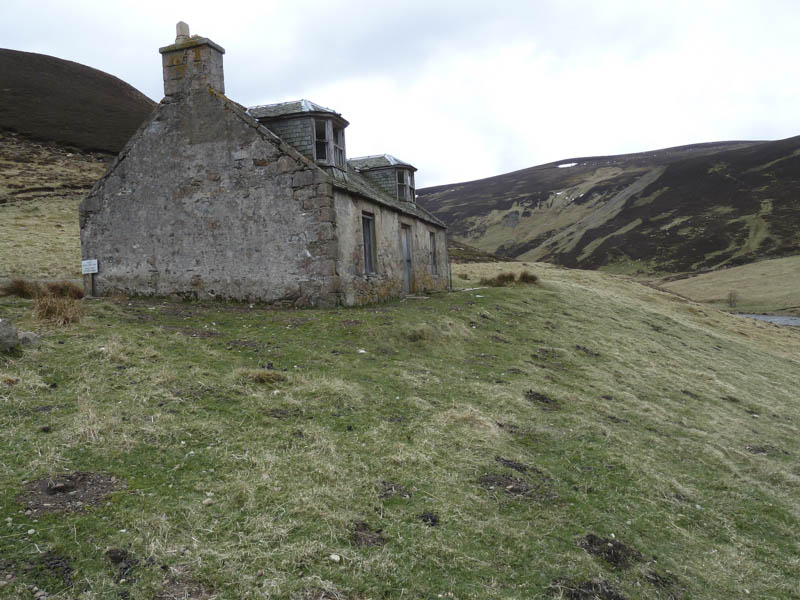
To the west of this summit there was a vehicle track in reasonable condition and I used it to descent into Strath Avon joining the tarred road beside the derelict building at Dalestie.
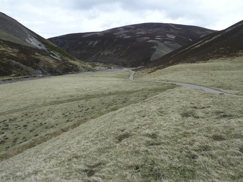
It was then a walk of around 2.5 kilometres north to collect my bike before heading back, this time by-passing Delnabo by using the rough vehicle track, to my car.
- Time taken – 5 hours.
- Distance – 21.5 kilometres.
- Height climbed – 800 metres.