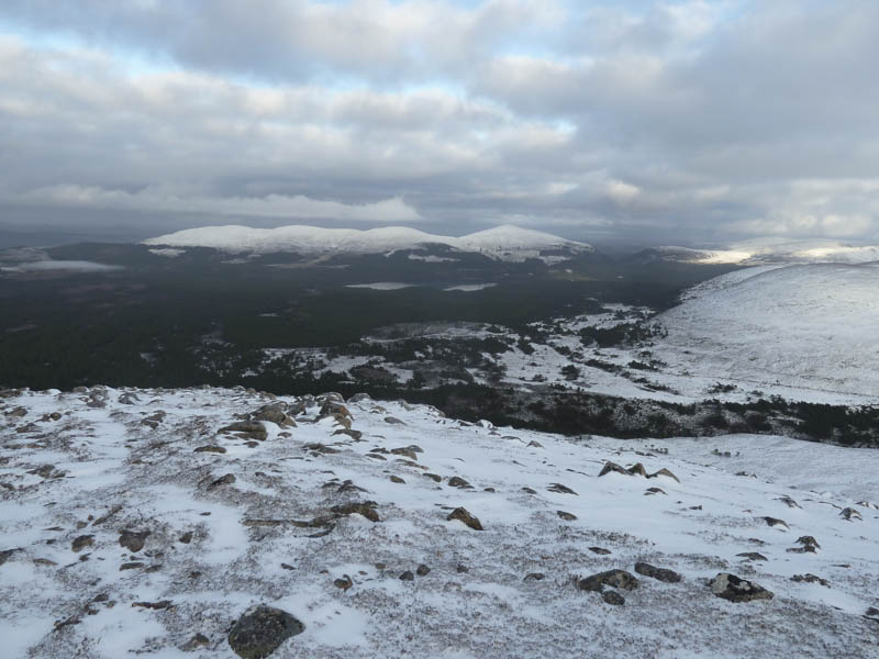
With a reasonable weather forecast for the Cairngorms we headed for Coylumbridge, east of Aviemore, parking in the lay-by on south side of the B970 beside the caravan and camping park. We set off along the marked trail for the Lairig Ghru which took us through the Caledonian Pine Forest, numerous gates, over the Cairngorm Club Footbridge and after around ninety minutes onto the open hillside. The path, which was now covered in snow, was in a poor state with lots of lying water and bog. We met a few folks heading for Corrour Bothy.
![Allt Druidh and the Caledonian Pine Forest](https://scotlandhills.net/wp-content/uploads/2021/03/01-Allt-Druidh-and-the-Caledonian-Pine-Forest.jpg)
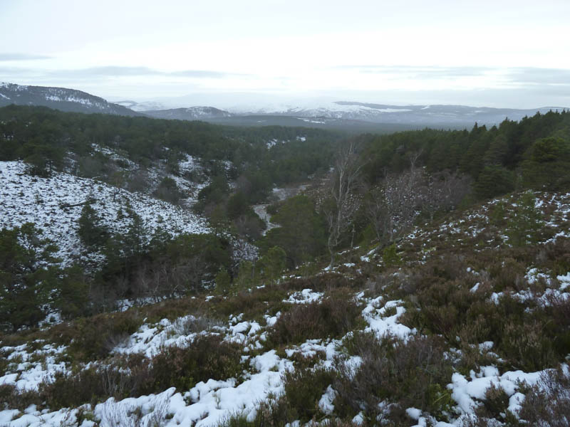
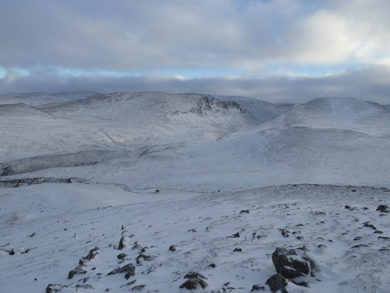
Opposite the Allt an Lochain Odhair we left the Lairig Ghru Path and made a direct ascent of the Graham Top, Carn Odhar. This involved a slight descent through heather and bog then finding a suitable point to cross the Allt Druidh which was running a bit high.
![Route to Carn Odhar](https://scotlandhills.net/wp-content/uploads/2021/03/02-Route-to-Carn-Odhar.jpg)
![Feith an Eireannaich and Carn Eilrig](https://scotlandhills.net/wp-content/uploads/2021/03/03-Feith-an-Eireannaich-and-Carn-Eilrig.jpg)
![Rescue Helicopter](https://scotlandhills.net/wp-content/uploads/2021/03/04-Rescue-Helicopter.jpg)
![Lairig Ghru](https://scotlandhills.net/wp-content/uploads/2021/03/05-Lairig-Ghru.jpg)
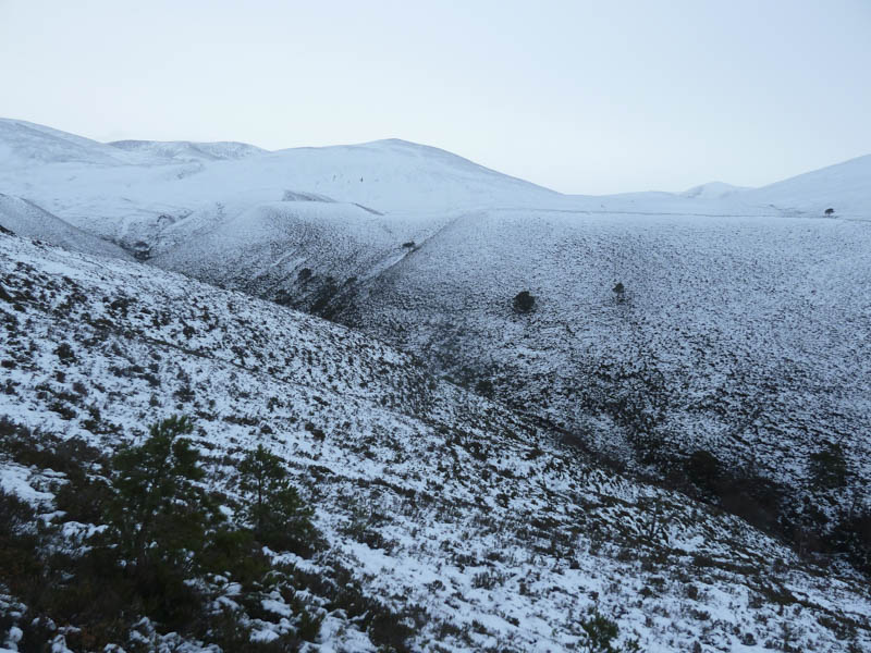
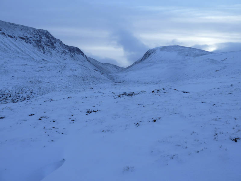
Once on its west side we climbed through snow covered heather later crossing the Allt an Lochain Odhair onto Carn Odhar, the summit marked by a cairn.
![Lurcher's Crag](https://scotlandhills.net/wp-content/uploads/2021/03/06-Lurchers-Crag.jpg)
![Sron na Lairige and Braeriach](https://scotlandhills.net/wp-content/uploads/2021/03/07-Sron-na-Lairige-and-Braeriach.jpg)
![Creag a' Chalamain and the Chalamain Gap](https://scotlandhills.net/wp-content/uploads/2021/03/08-Creag-a-Chalamain-and-the-Chalamain-Gap.jpg)
![Carn Eilrig](https://scotlandhills.net/wp-content/uploads/2021/03/09-Carn-Eilrig.jpg)
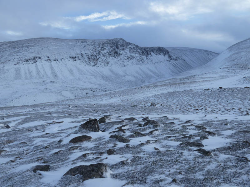
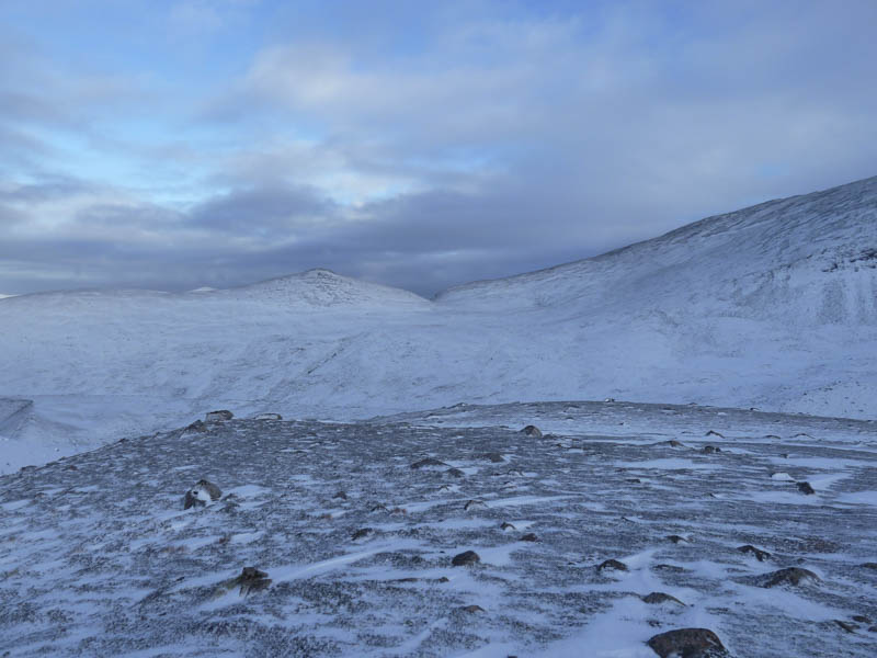
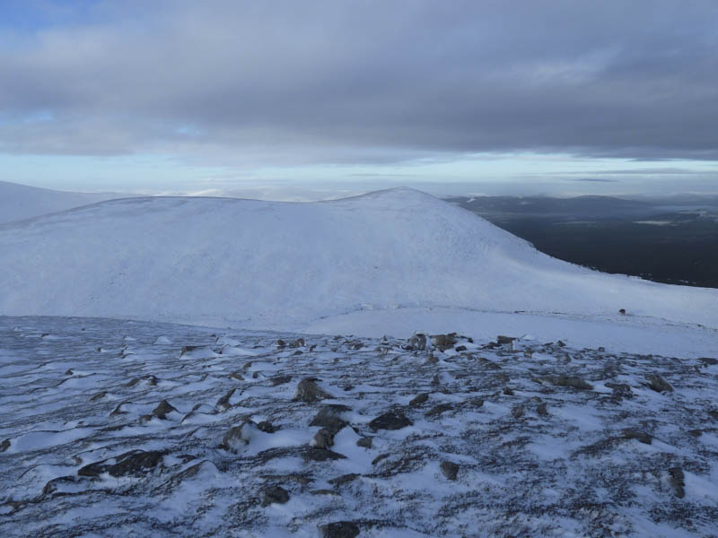
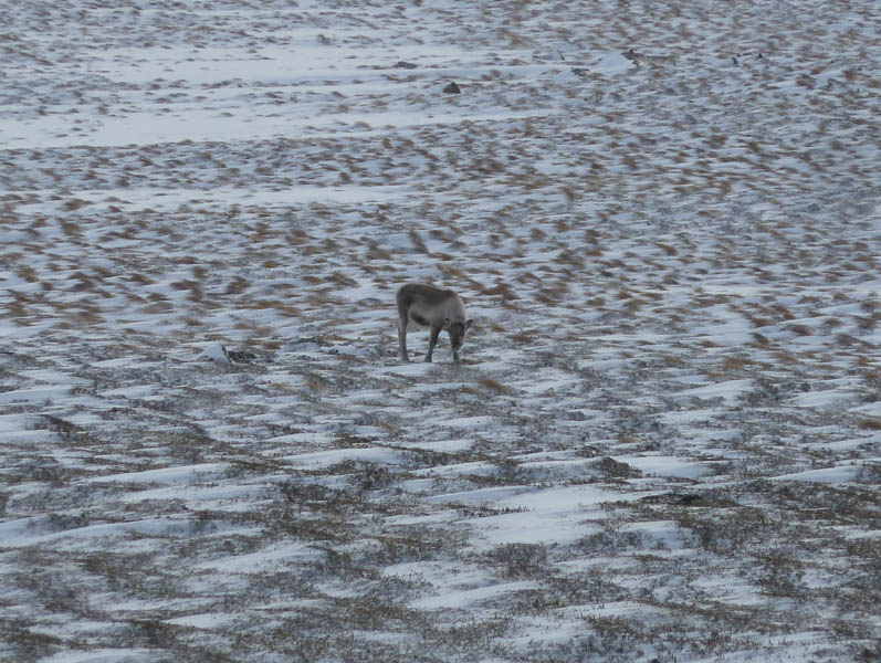
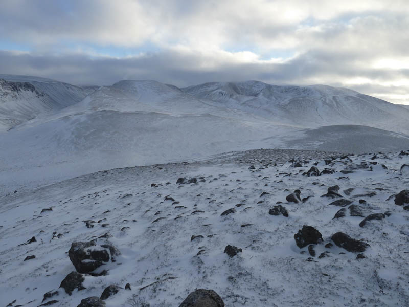
From there we descended west, crossed some more boggy ground and the headwaters of the Fieth an Eireannaich, before gaining Carn Eilrig’s South Ridge where we spotted a lone reindeer.
![Loch Einich and Sgor Gaoith](https://scotlandhills.net/wp-content/uploads/2021/03/10-Loch-Einich-and-Sgor-Gaoith.jpg)
![Lone Reindeer](https://scotlandhills.net/wp-content/uploads/2021/03/11-Lone-Reindeer.jpg)
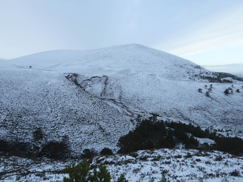
It was then an easy stroll to the cairn marking the summit of this Hump and Graham Top.
![Loch Morlich and Meall a' Bhuachaille](https://scotlandhills.net/wp-content/uploads/2021/03/12-Loch-Morlich-and-Meall-a-Bhuachaille.jpg)
![Carn Odhar, Lairig Ghru and Lurcher's Crag](https://scotlandhills.net/wp-content/uploads/2021/03/13-Carn-Odhar-Lairig-Ghru-and-Lurchers-Crag.jpg)
![Carn Odhar and Braeriach](https://scotlandhills.net/wp-content/uploads/2021/03/14-Carn-Odhar-and-Braeriach.jpg)
![Gleann Einich, Loch Einich and Sgor Gaoith](https://scotlandhills.net/wp-content/uploads/2021/03/15-Gleann-Einich-Loch-Einich-and-Sgor-Gaoith.jpg)
![Creag Dhubh](https://scotlandhills.net/wp-content/uploads/2021/03/16-Creag-Dhubh.jpg)
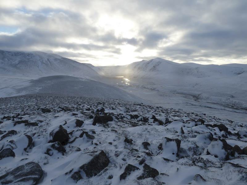
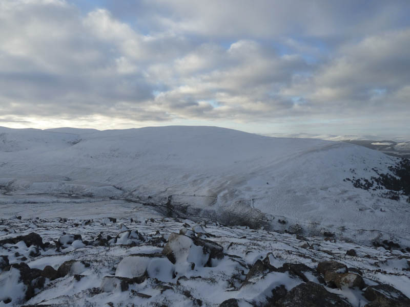
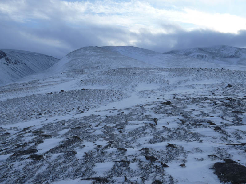
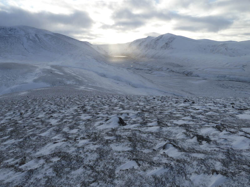
After a break here we returned along the south ridge before descending through snow covered heather aiming for the bridge over the Am Beanaidh. Lower down some boulder fields filled with soft snow made things a bit difficult before crossing bog to reach this bridge
![Am Beanaidh and bridge crossing](https://scotlandhills.net/wp-content/uploads/2021/03/17-Am-Beanaidh-and-bridge-crossing.jpg)
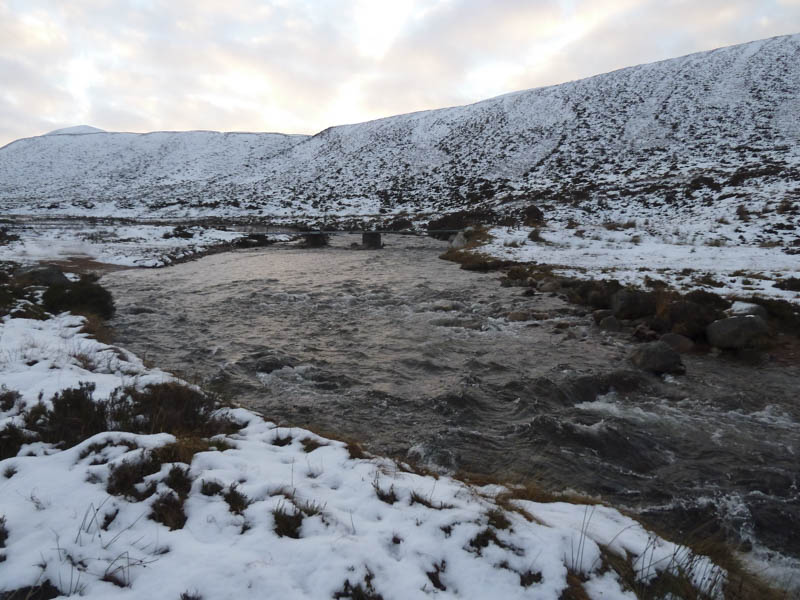
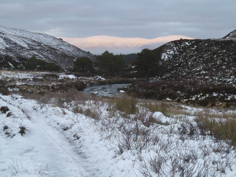
. Once across the Am Beanaidh we followed the vehicle track north then north-west down Gleann Einich. It was dark by the time we rejoined the Lairig Ghru track for the final 700 metres back to the car.
![Sun setting on Creagan Gorm and Meall a' Bhuachaille](https://scotlandhills.net/wp-content/uploads/2021/03/18-Sun-setting-on-Creagan-Gorm-and-Meall-a-Bhuachaille.jpg)
- Time taken – 8 hours.
- Distance – 21.5 kilometres.
- Height climbed – 765 metres.