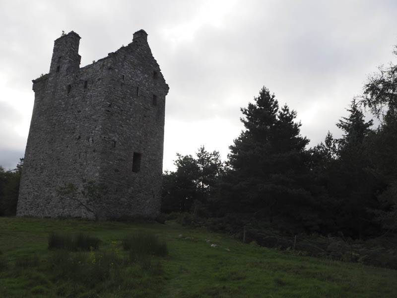
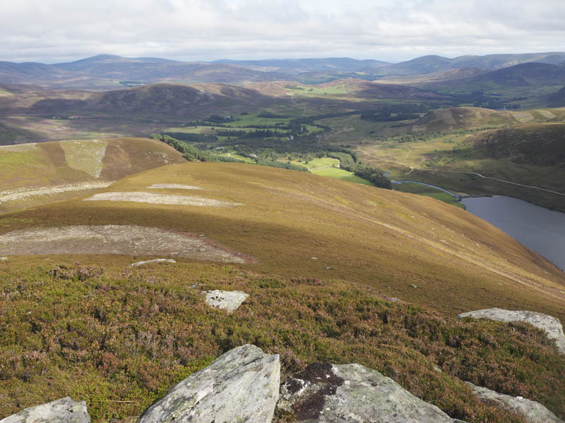
I left my vehicle in the car park near the end of the public road in Glen Esk, accessed along the minor road from the B966 Edzell to Fettercairn Road. I walked west across the bridge over the Water of Mark to the end of the tarred road which was replaced by an estate track that led passed the remains of Invermark Castle and to Loch Lee.
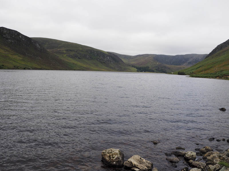
This track then continued along the north shore of the loch to its west end where the track gradually turned north through Glen Lee.
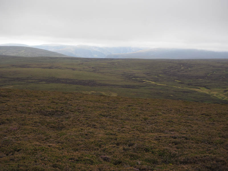
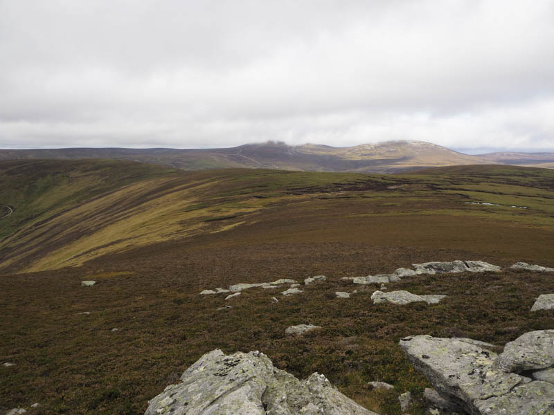
Prior to reaching the Burn of Camlet I left this track and followed an old one, overgrown with heather, east before descending to and crossing a tributary of the Water of Lee. I then commenced the ascent of Craig of Camlet, through various lengths of heather and across a more used vehicle track which continued onto the higher reaches of the ridge to the north.
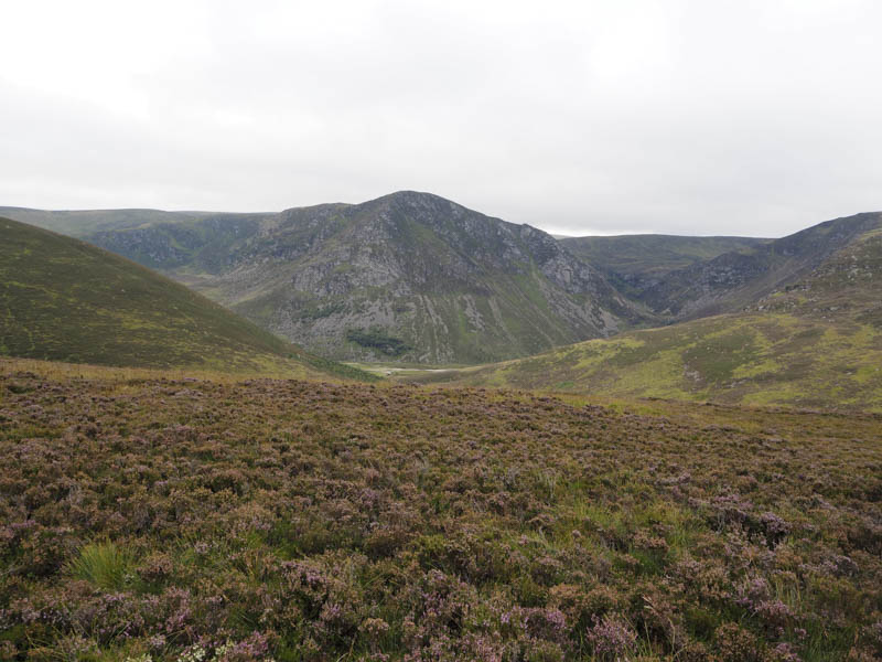
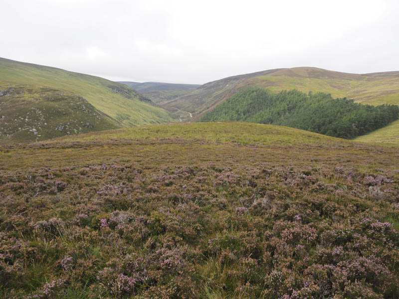
It was windy on the unmarked summit of this minor hill so I descended north-west to the north-east corner of the Lee Plantation where I had a coffee break sheltering behind a tree. I then crossed the Burn of Blackstock, walked along the top edge of the forest, crossed the Burn of Craignaheron and commenced the ascent of Wolf Craig on an easy gradient of heather and grasses. The summit of this Graham Top consisted of five cairns plus a small pile of stones so I visited all six points.
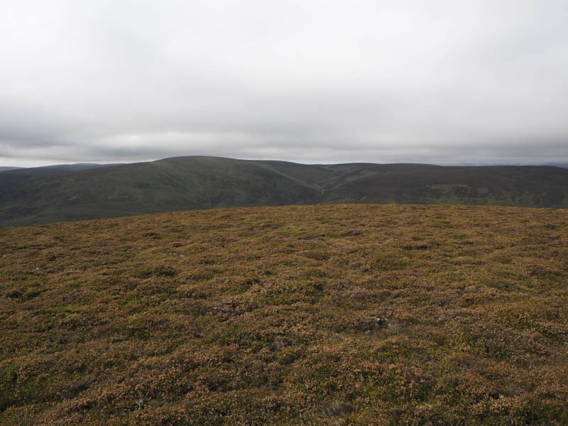
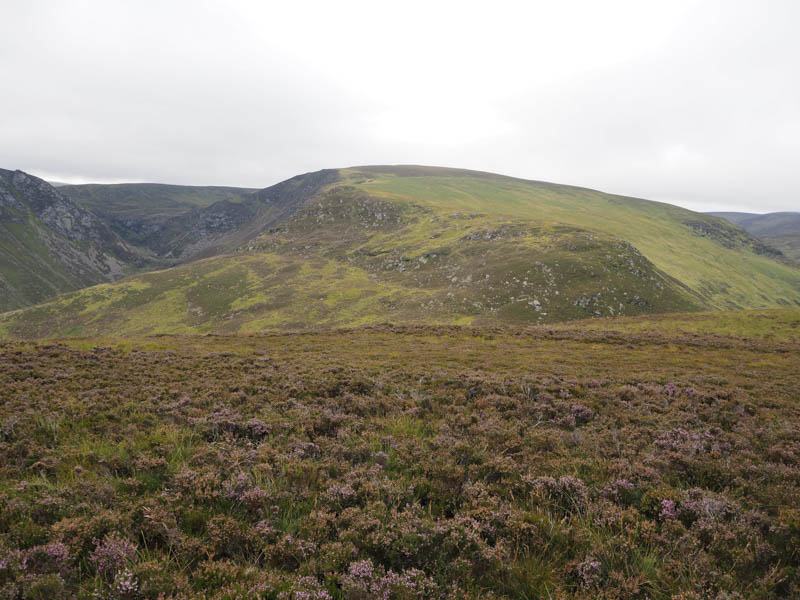
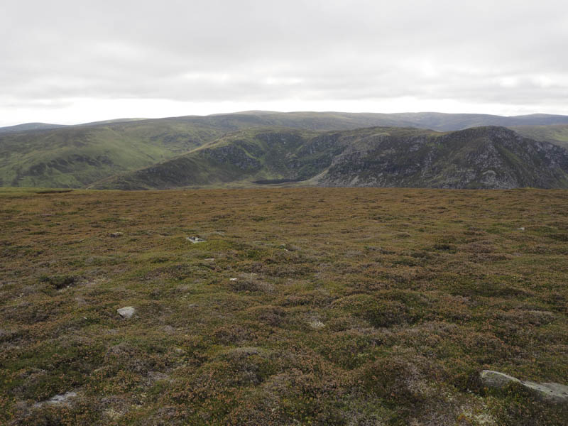
The descent north-west was to a small lochan shown on the map then to the col with Coire Breac Top (also known as Beinn Tirran Point 684 metres) where there were a number of peat hags. The ascent of Coire Breac Top was through mixed vegetation, some of it wet, and led to a flattish summit area where I wasn’t able to ascertain the exact highpoint of this Graham Top.
The cloud was lowering on the higher tops so I returned to the col and to below Wolf Craig before by-passing its summit and heading through the numerous peat hags onto its east ridge. The peat hags being mostly dry made for easy walking. On reaching this ridge I headed east across more mixed vegetation keeping to the south of the two knolls and trying not to add or lose any height.
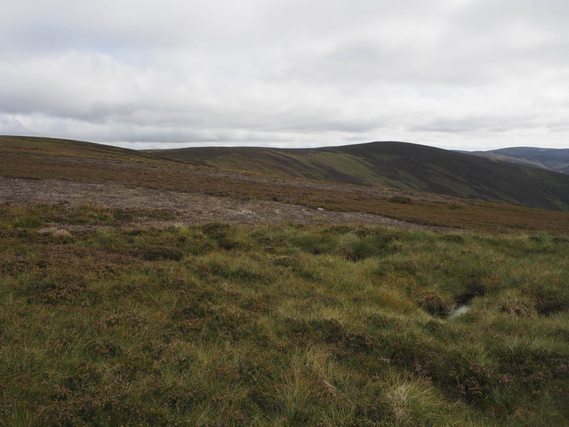
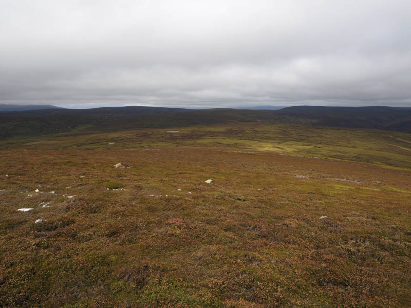
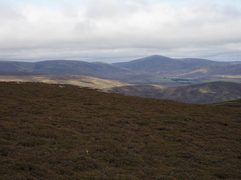
Once beyond the second obvious knoll (shown as 670 metres) the route turned south-east to the col with Monawee. It was then a fairly easy climb south through a few peat hags onto the summit of Monawee, the highest point of this Graham Top marked by a cairn.
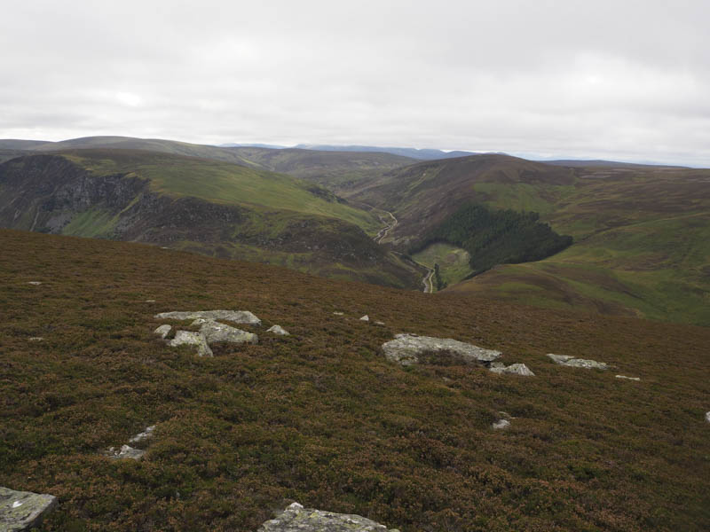
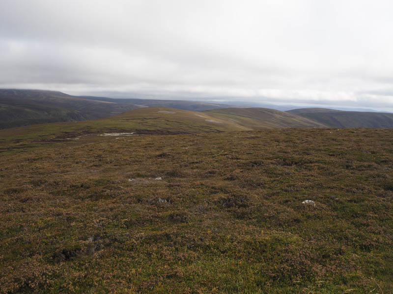
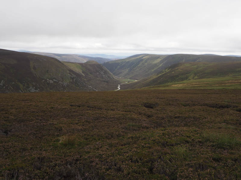
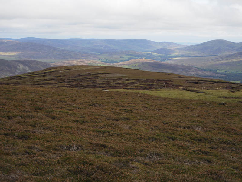
Thereafter the descent east was initially through some rough vegetation but the walking soon became easier until I reached the cairn marked on the map. It was then a steep descent north through long heather to a small dam on the Burn of Laurie. (NO422807) Here a rough vehicle track descended east then south above this stream before heading through the Drum Plantation and emerging at the buildings at Kirkton. From there I joined the estate track east of Loch Lee and followed it back to the car park.
- Time – 7.25 hours.
- Distance – 23.75 kilometres.
- Height climbed – 815 metres.