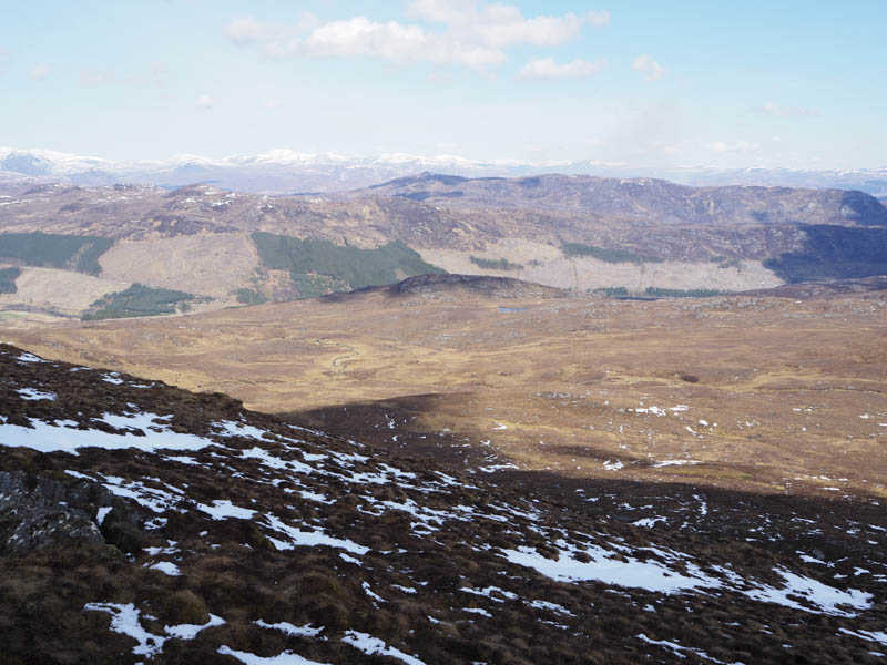
Strathconon is a pleasant glen accessed along a single track road from the A832 at the hamlet of Marybank. I left my vehicle at the mouth of the vehicle track giving access to Balnalt Wood, located opposite the west end of Loch Meig, then walked up this track which was initially fairly steep.
At a point where it may have been possible to make a direct approach through the trees to the Tump, Carn na h-Annaide Mor, a new deer fence had been erected round this cleared area. I therefore continued south-west along the forest track and on reaching the edge of the wood followed the deer fence south-east over dry peaty ground obviously used by deer.
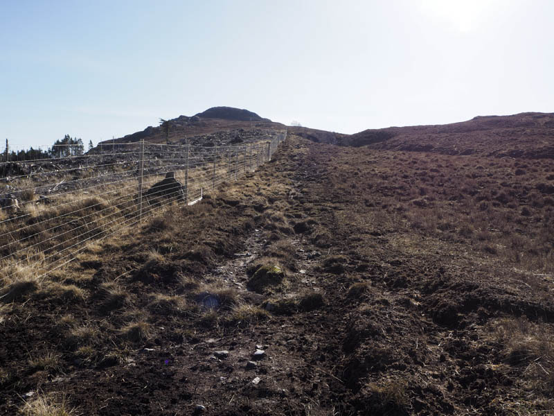
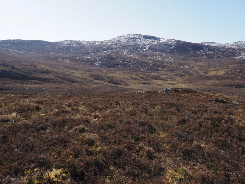
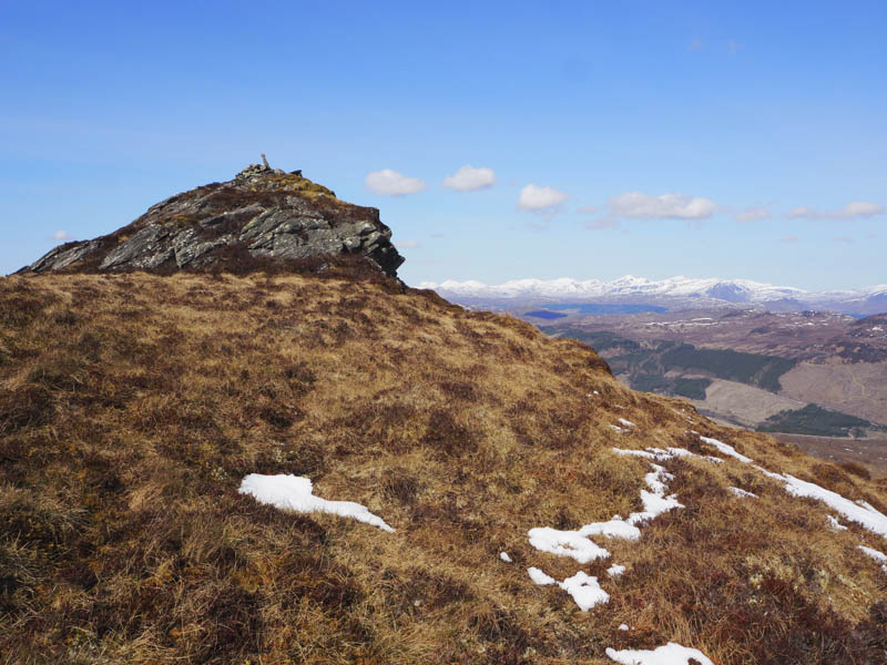
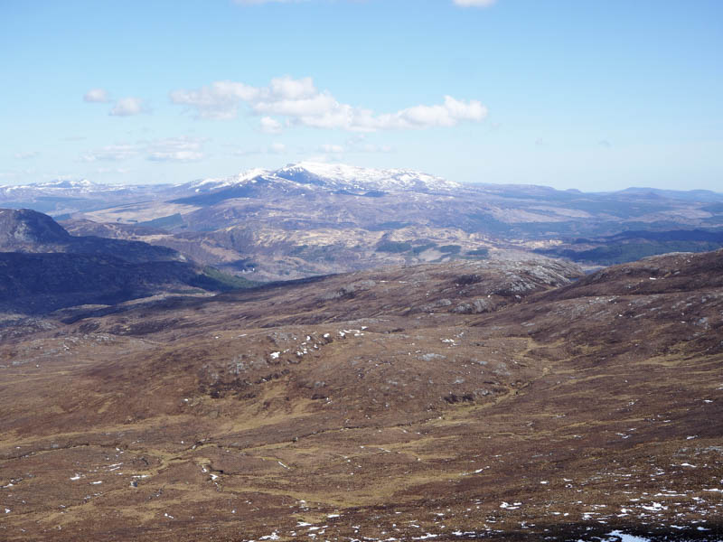
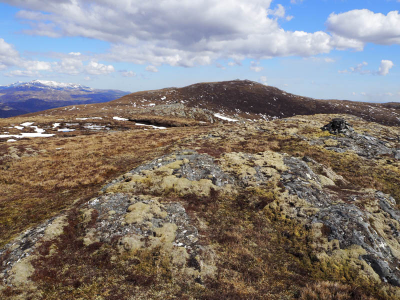
At the point where the fence turned north-east I left it and continued the ascent of Carn na h-Annaide Mor. Higher up the gradient increased with a few rocky outcrops to avoid before I reached its summit where there were a couple of potential highpoints.
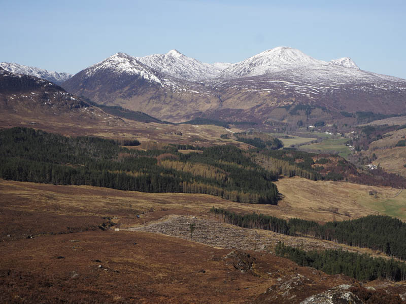
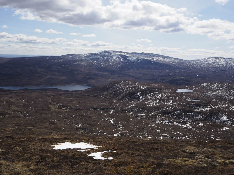
After a break here taking in the views I descended steeply south-east towards Creagan a’ Mhaoil Dhuinn then to its west through rough vegetation and due to snow melt some wet ground. The ascent of Meall nan Damh was through long heather and snow patches to reach the col east of this Graham Top, then onto its summit, a cairn on top of a rocky knoll. There was a cold wind here and at this time cloud was blocking out the sun.
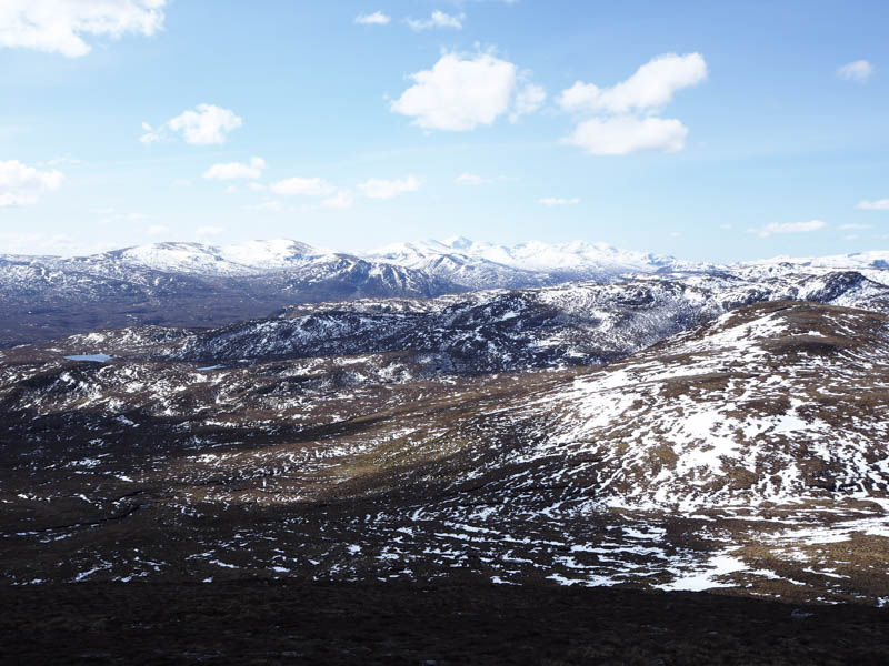
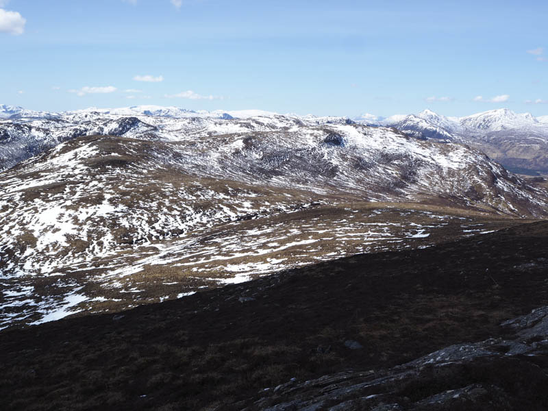
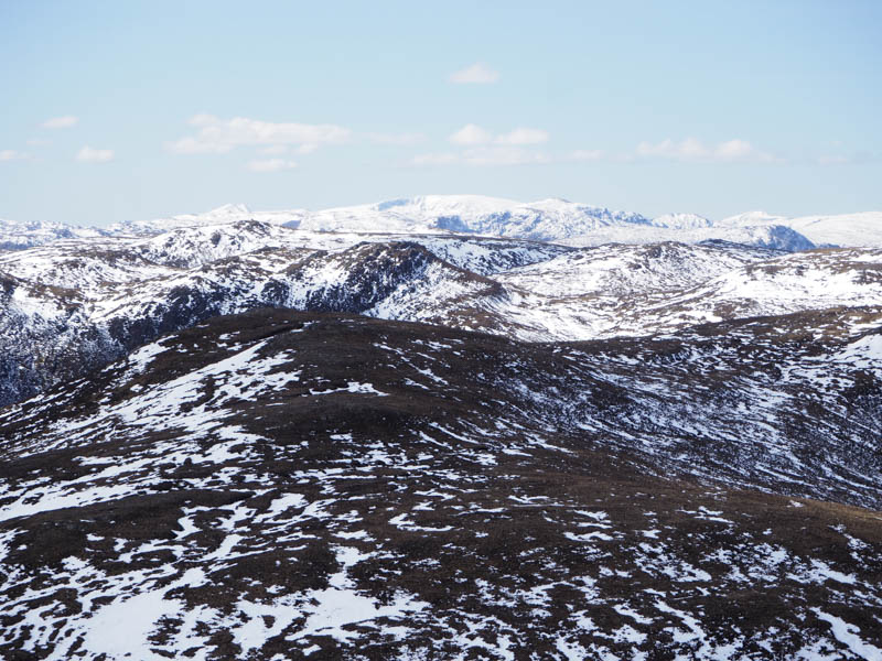
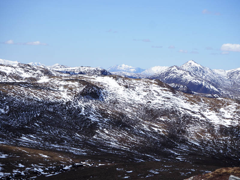
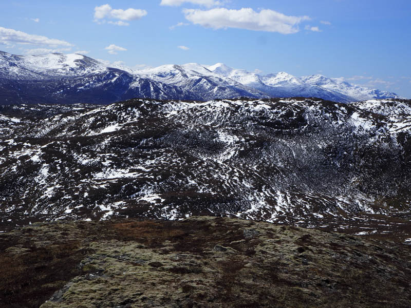
I descended north-west then south-west to the col with Meall a’ Bhogair Beag East Top before ascending this Sub Simm where on the return of the sun I took another break.
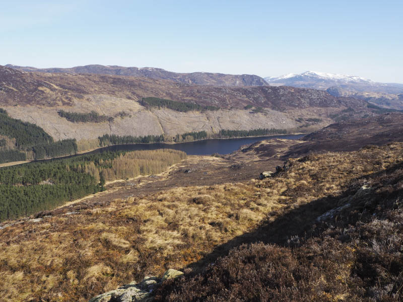
Afterwards I returned to the col, crossed Meall nan Damh’s North-West Ridge, and descended steeply through long heather to an unnamed stream. Once over it and some more rough vegetation I reached and crossed the Allt na h-Annaite then it was back to the deer fence from where I retraced my outward route.
- Time taken – 6.25 hours.
- Distance – 11.5 kilometres.
- Height climbed – 755 metres.