I’ve been on the Druim Fada Ridge a couple of times but only at its east end to climb the Graham, Stob a’ Ghrianain. The Graham Top was over two kilometres further west so I opted not to add an additional four plus kilometres to these outings.
Staying nearby I decided it was time to correct this emission but climb it from the west. I therefore left my car in the car park at Fassfern, reached from the A830 Fort William to Glenfinnan Road. I then walked back to and across the road bridge over the An t-Suileag onto the vehicle track on its east side, an old pony track. At grid reference NN021810 the track left the side of the burn and climbed through the trees to join a forest track at NN023811 where it continued north.
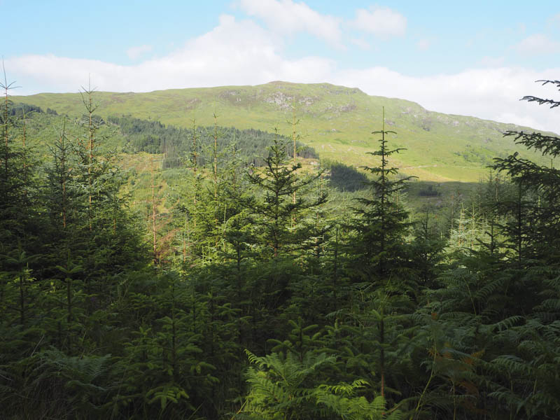
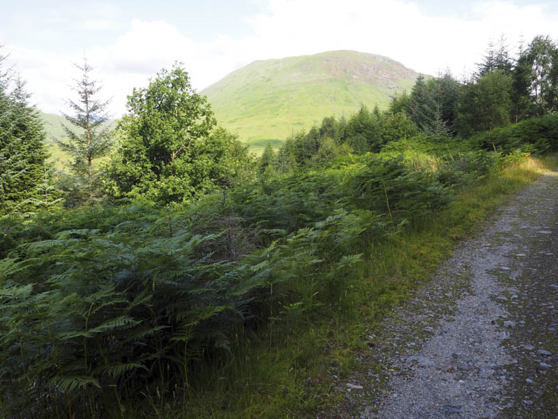
At NN023820 I came to a couple of gates in a deer fence and once through the pedestrian gate I left the forestry track and walked east along the edge of the deer fence through some rough vegetation. On reaching the forest’s north-east corner I went through a gap in the lower section of another deer fence, obviously used by deer, and onto the open hillside.
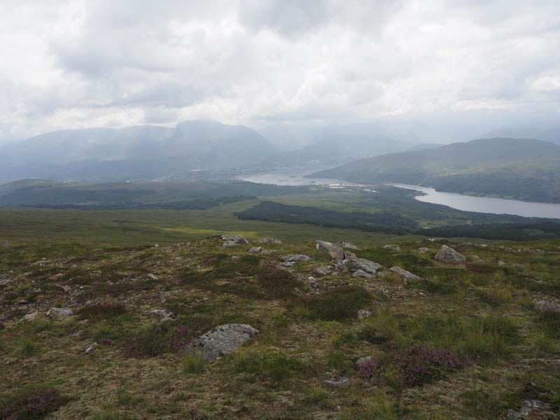
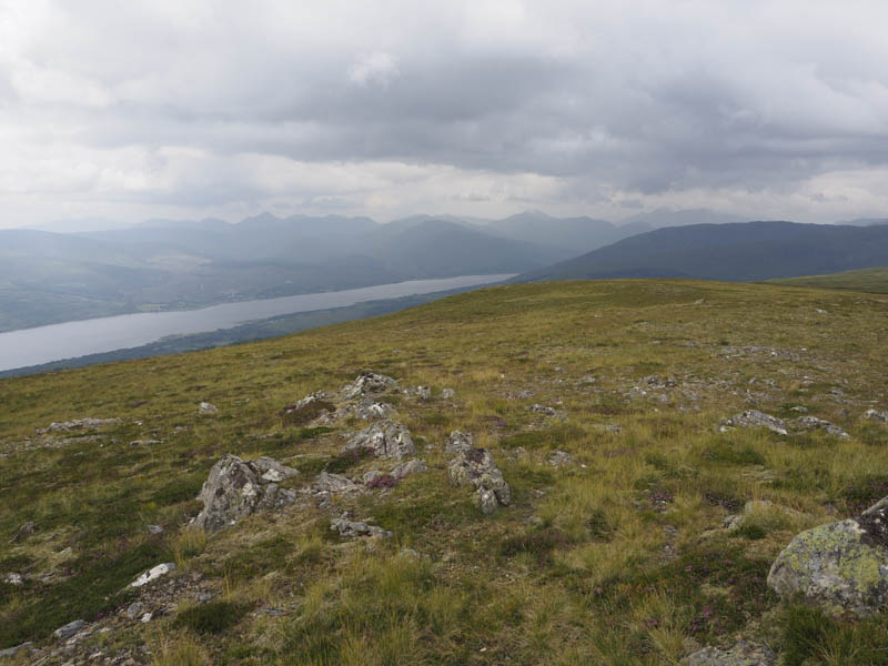
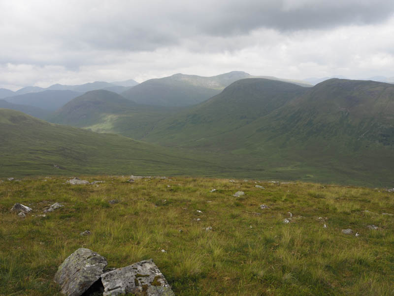
It was then a steep climb through rocks, bracken and grass with the gradient later easing as I climbed to a small lochan west of Coille Mhor.
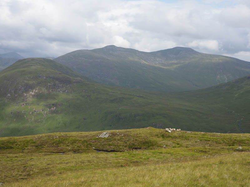
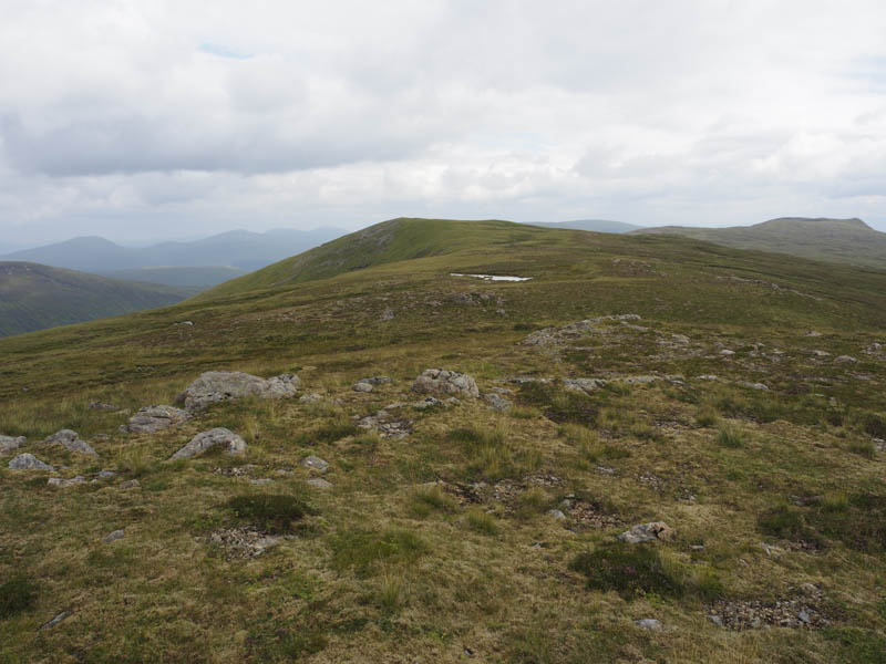
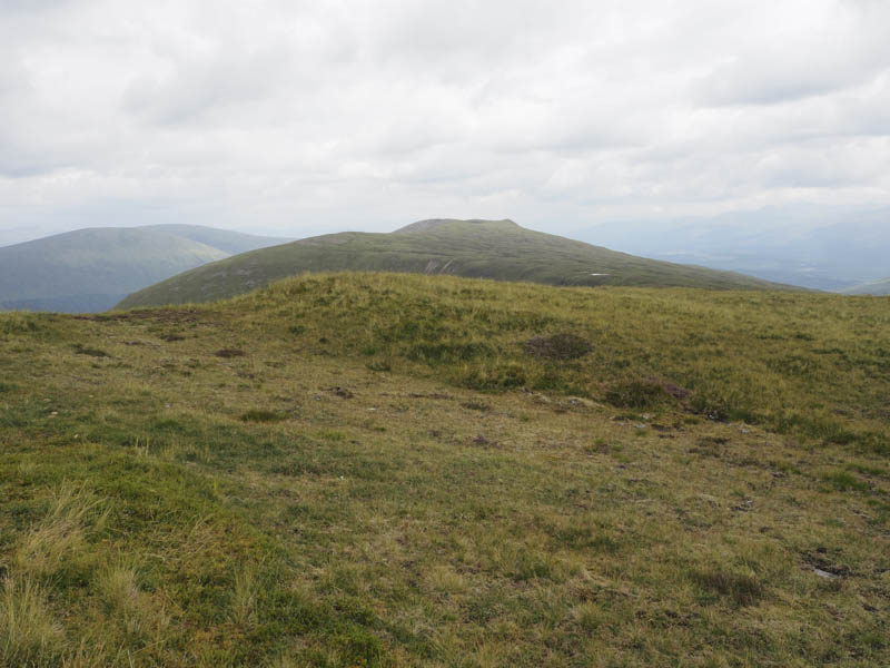
From there I walked east along the twisted ridge with a few undulations to the trig point on the 716 metre knoll before finally heading north-east to the cairn marking the summit of the Graham Top, Druim Fada West Top.
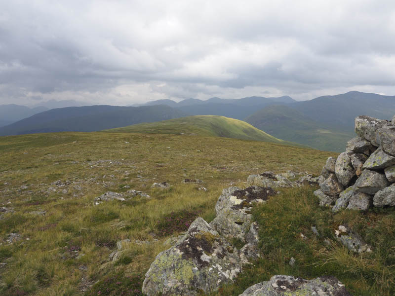
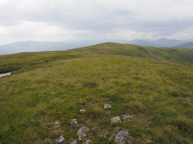
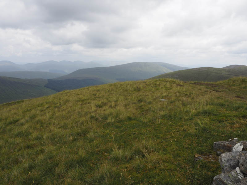
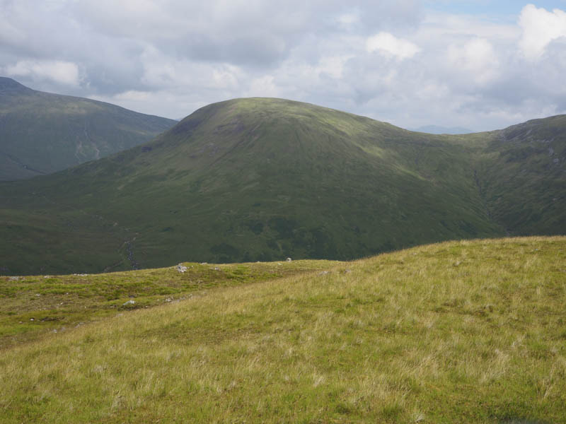
The return took me round the north side of the 716 metre knoll then along the south side of the ridge to rejoin the ascent route at the edge of the forest. I then retraced my outward route back to the car park.
- Time taken – 5.25 hours.
- Distance – 16.25 kilometres.
- Height climbed – 775 metres.