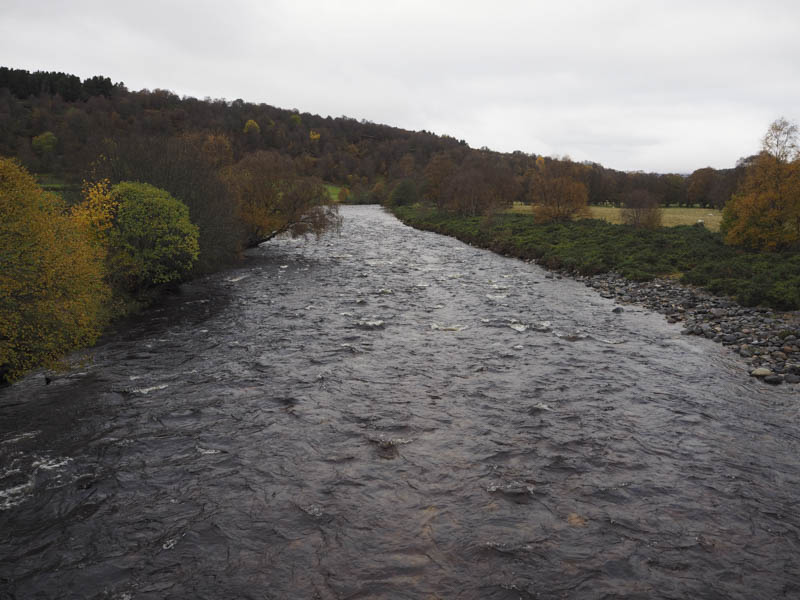
I left my vehicle in the car park at Delnabo, south-west of Tomintoul, and walked down the tarred road to the bridge over the River Avon then continued along the road to Delavorar.
Immediately prior to this farm I headed up the vehicle track to the west which gradually rose through the well spaced deciduous trees where sheep grazed. They also made the track rather muddy in places.
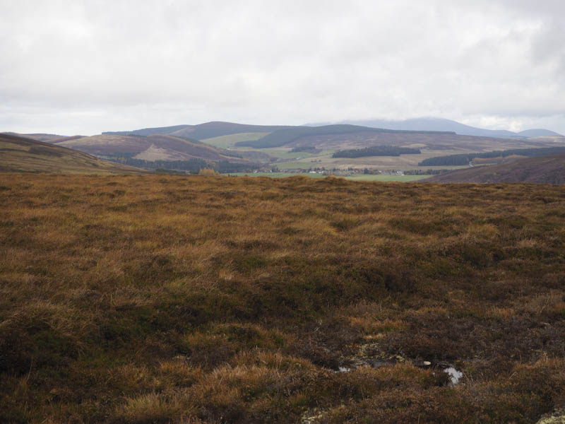
Beyond the trees an open gate in a deer fence led to a field of rough grazing where cattle roamed. The majority were feeding from a trough some distance away but those closer to the vehicle track watched my progress to the ruin at Ballintomb.
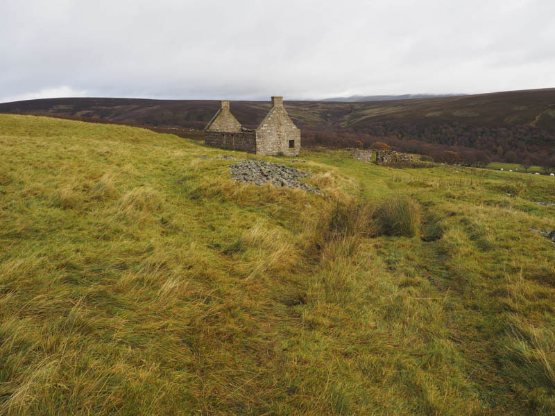
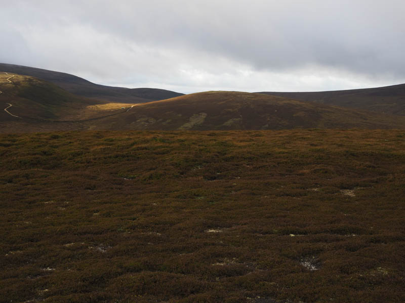
Here I took shelter from a cold wind for a coffee break before continuing across the field on a now grassy track to reach a padlocked wooden gate in the deer fence. The grassy track then continued in a south-westerly direction coming to an end around 650 metres from the summit of Druim na h-Easgainn. For another 200 metres there were animal trails to follow then it was across heather and grass to the summit of this Sub 4, although its highest point wasn’t obvious.
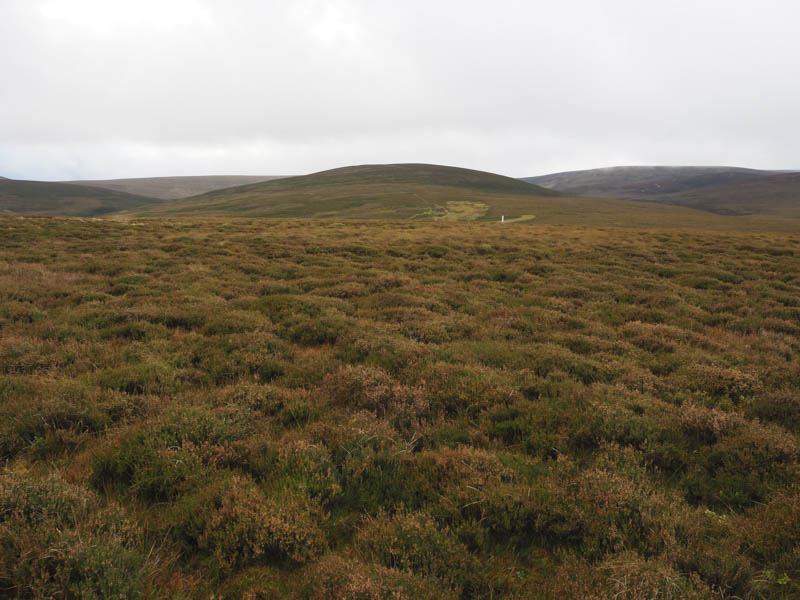
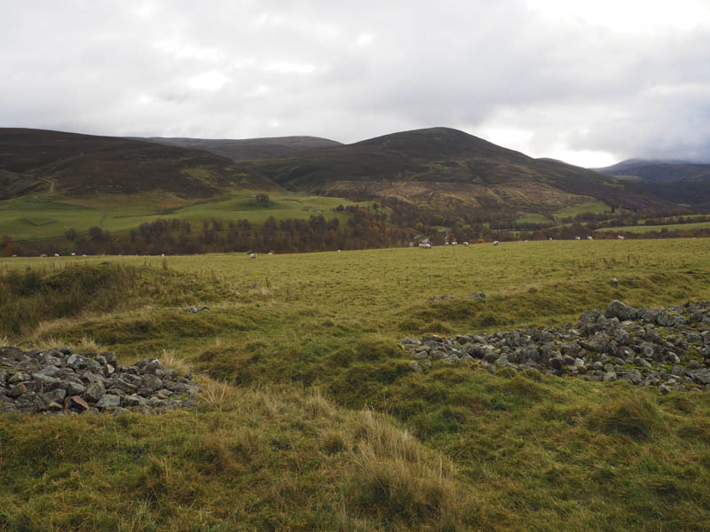
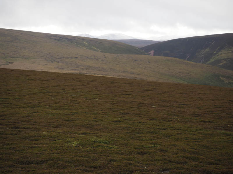
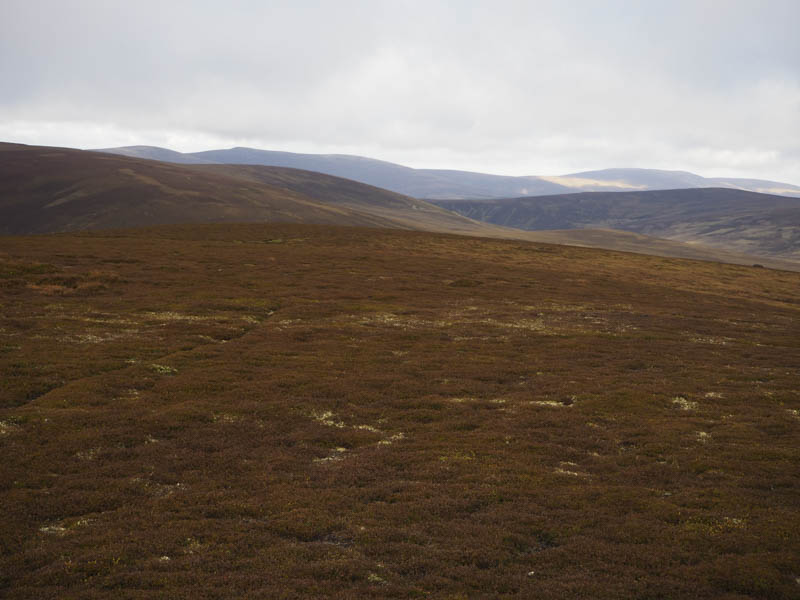
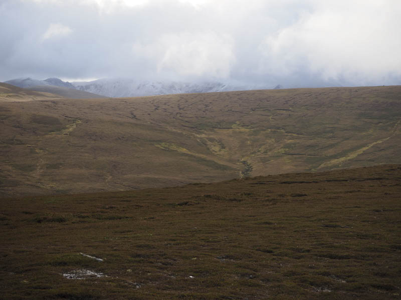
The descent south-west was pathless through heather, grass and moss, avoiding pools of water. This took me to east of the col with Carn Ruabraich where a detour was required to avoid the marshy ground before commencing the ascent of this Tump. I then joined a wet grassy vehicle track that came in from the east. The track later came to an end replaced by paths through the heather which passed several shooting butts. The summit of Carn Ruabraich, a small heathery knoll, was reached with limited views of the snow on Ben Avon and the Cairngorms.
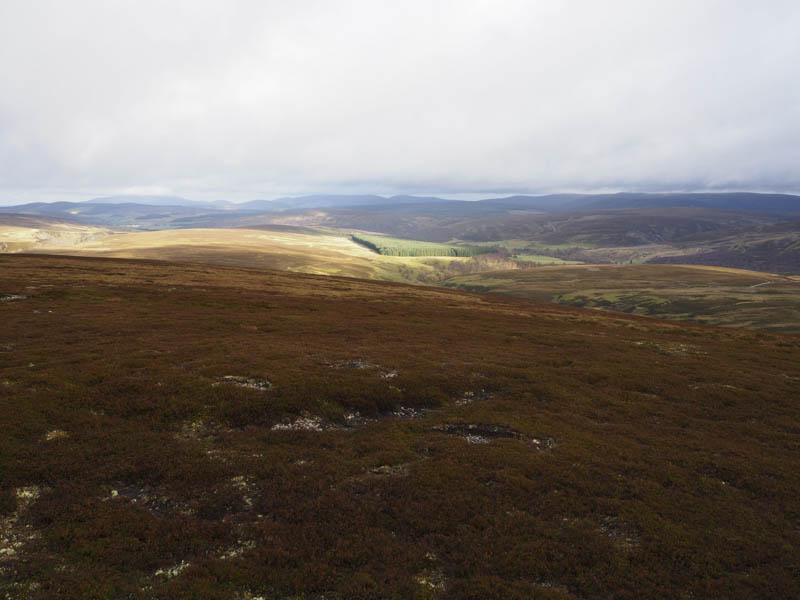
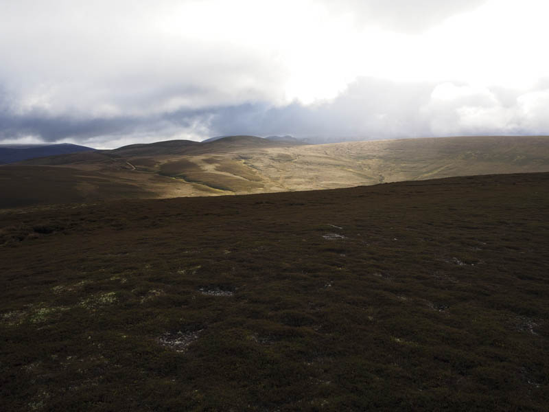
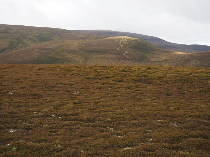
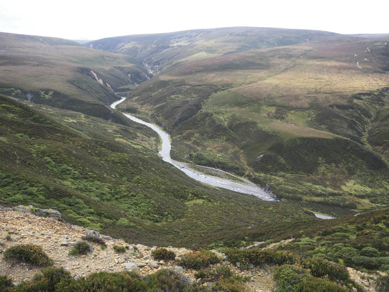
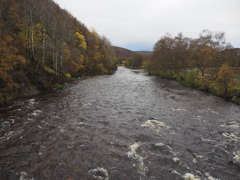
I returned to the grassy vehicle track which soon turned and descended east with the grass being replaced by stone. It them merged with the estate track coming down from Geal Charn, and initially continued above the north bank of the Allt Bheithachan through some trees to a new gate in a deer fence. The track then crossed a grassy field to Wester Gaulrig and to the new substantial bridge across the River Avon which replaced an old one located immediately to the south.
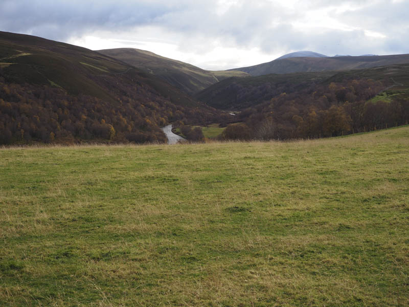
The tarred road was then followed north passing through the large black gates at Birchfield to immediately before the road bridge over the River Avon at Delavorar. Here I left the tarred road and used the vehicle track on the east of the river which entailed a couple of uphill sections to reach the car park at Delnabo.
- Time taken – 4.5 hours.
- Distance – 15 kilometres.
- Height climbed – 495 metres.