I left my car at the entrance to a vehicle track on the north side of the A831 Beauly Road just east of the village of Cannich and west of the bridge over the Allt Coillte, (NH341320) then walked north-west up this track. However it soon turned west, away from my intended destination, and may have been a local woodland walk. What initially appeared to be a path but was possibly animal trails took me north-east below the mature trees before entering the wood where the trees were well enough spaced. If I had been following animal trails they were no longer obvious as I had to walk round several fallen trees.
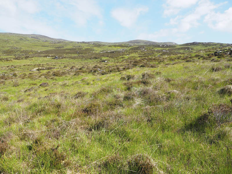
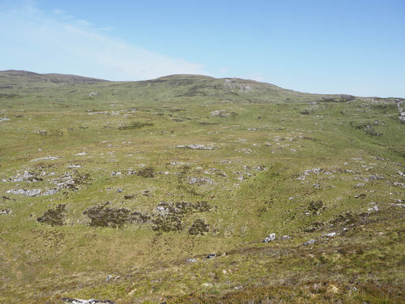
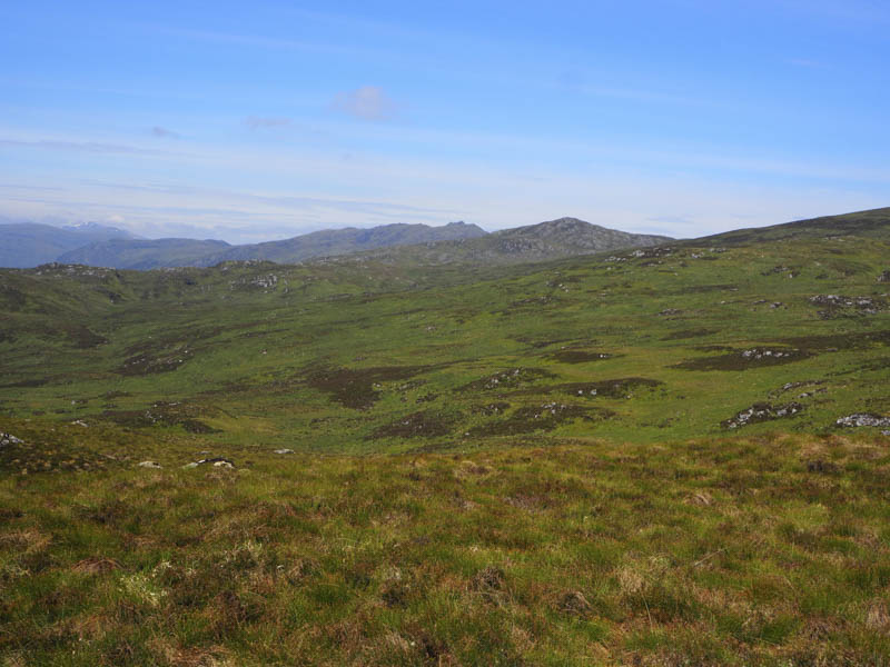
On reaching a deer fence I followed it north but was then confronted by another one which I was forced to climb over. I then continued through more open and very rough ground consisting of bracken, heather and a few trees before coming across a third deer fence. Beyond it there was more rough ground as I made my way round the west side of Carn an t-Sionnaich locating an ATV track (NH337331) which I briefly followed.
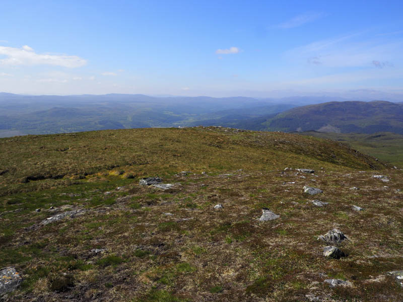
When it headed off in the wrong direction I walked round the north side of Carn an t-Sionnaich through more rough vegetation.
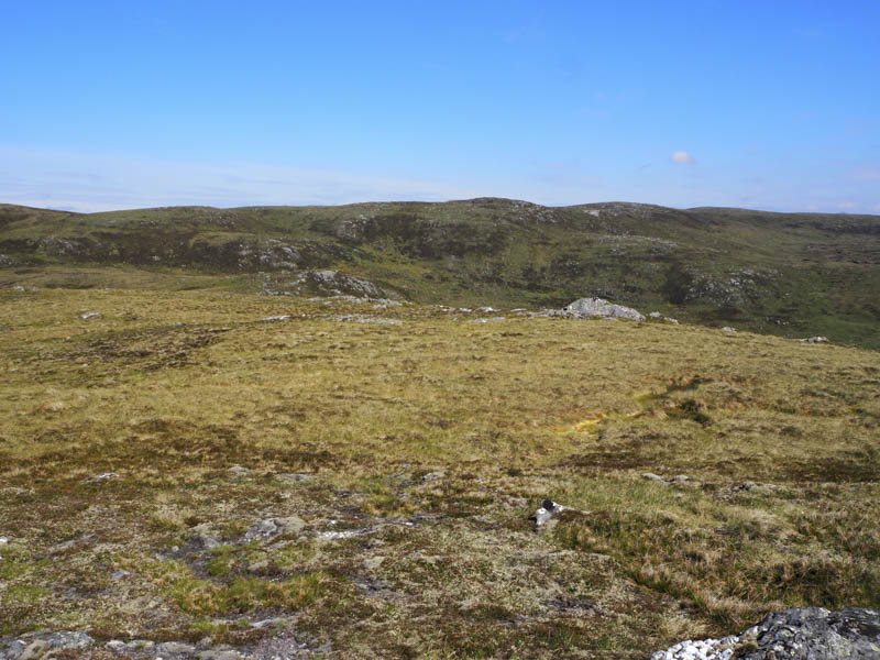
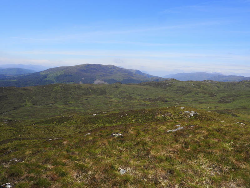
On approaching the summit of the Graham Top, Carn Cul-Sgor, there were several peat hags to work round before eventually climbing to its highpoint, a large boulder.
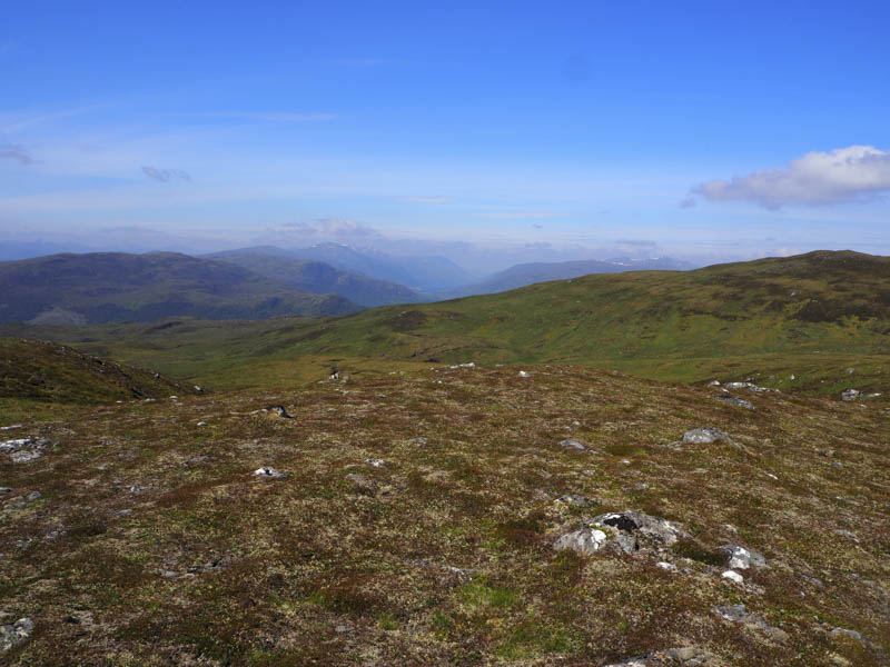
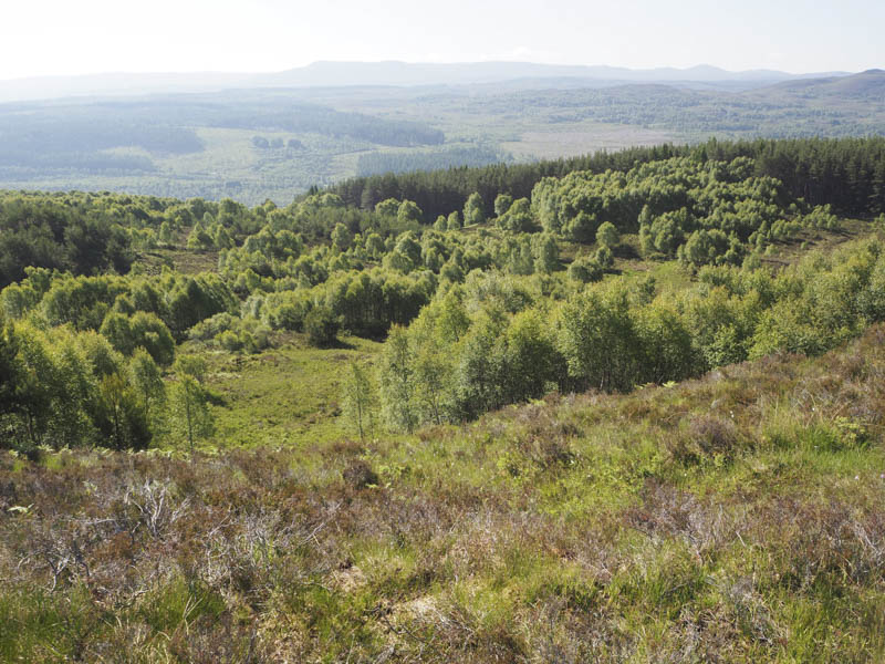
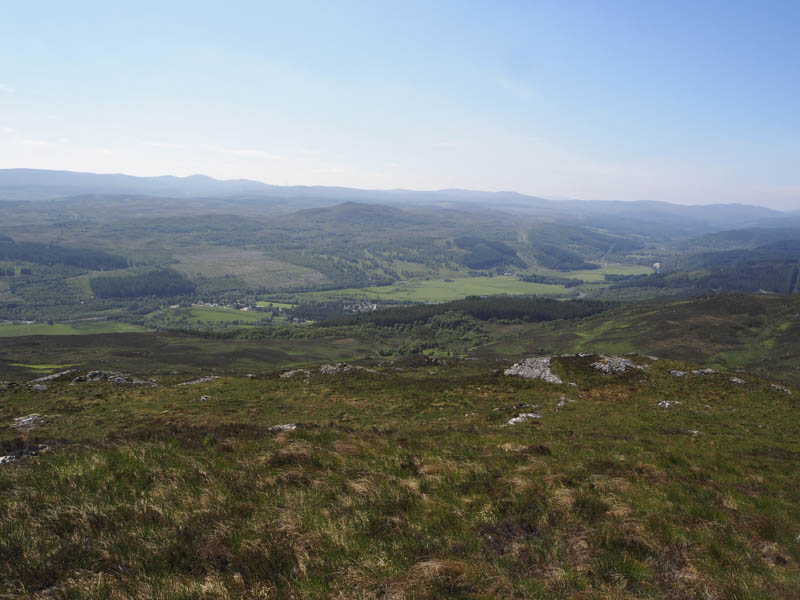
After a break here I returned to Carn an t-Sionnaich and climbed to its summit where I had a view down into Cannich.
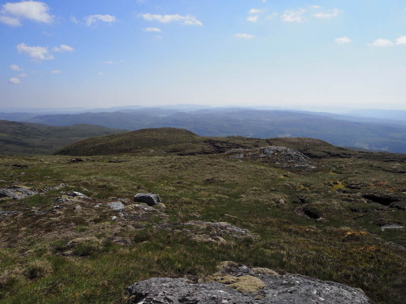
I then continued through long rough vegetation back to the ATV track contemplating whether to follow it or return by the approach route. Here I met a local lady heading for the Graham, Carn Gorm, who confirmed the track did descend to the A831 although it was indistinct in places.
I continued down this track through a closed gate then later an open one where I lost the line of the track due to the bracken that covered the ground between the trees. Eventually I regained the track which led to a gate just east of the bridge over the Allt Coillte a short distance from where I had left my car.
- Time taken – 3.5 hours.
- Distance – 7 kilometres.
- Height climbed – 555 metres.