I parked at a wide gate entrance around 600 metres south-west of the road end at Balvraid, reached from the village of Tomatin, south of Inverness. Since my first visit to this area last year when I left my car on rough ground at the start of the road leading to Balvraid Lodge a no parking sign has been installed. Obviously walkers aren’t welcome in this area!
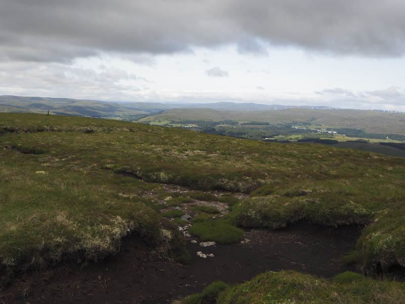
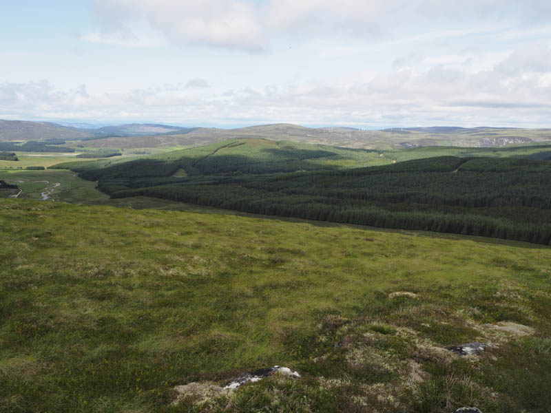
On leaving my car I walked to the end of the public road then along an estate track to the bridge over the Allt Bruachaig. Beyond, another track led into the forest and passed the old property at Glenkirk. At the next junction I went right, east, and climbed steadily through the trees. At a quarry (NH849323) I walked up its edge and out onto the open hillside. Then it was through heather to reach the summit of the Sub Dodd, Carn Gleann an Tairbhidh, although locating its highest point wasn’t possible.
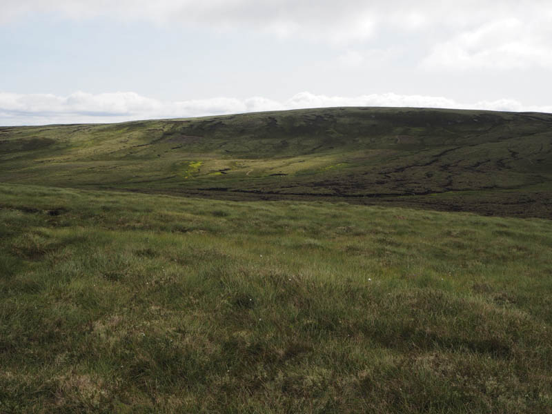
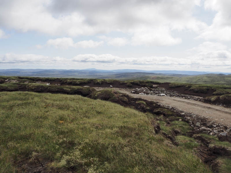
Rather than return to the forest track I decided on a more direct approach to my next hill so descended south-east across some peat hags and commenced the ascent of Carn an t-Sean-liathanaich. There were a few more peat hags here but as height was gained the hillside was a mass of peat hags. Not sure if I’ve been on a hill so badly scarred by them. However the majority were dry, some were over six feet deep, but it made for easy walking. Eventually I reached what appeared to be the highpoint of this Graham Top, which was beside a new vehicle track. I took a break here part sheltering from the windy conditions which was keeping the midges and flies at bay.
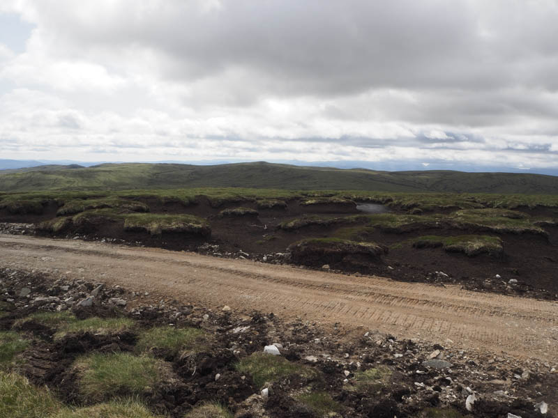
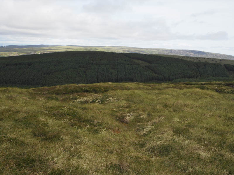
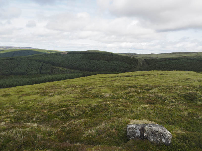
Afterwards I followed the vehicle track through the peat hags noting the mess that had been created by its construction. The track came to an end at a turning circle so I continued south above a marshy area of ground to join another vehicle track. After walking along it I came to a junction of tracks and went right through a gate in a stock fence. This track, which was in poor condition and waterlogged in places, took me to the top end of the forest.
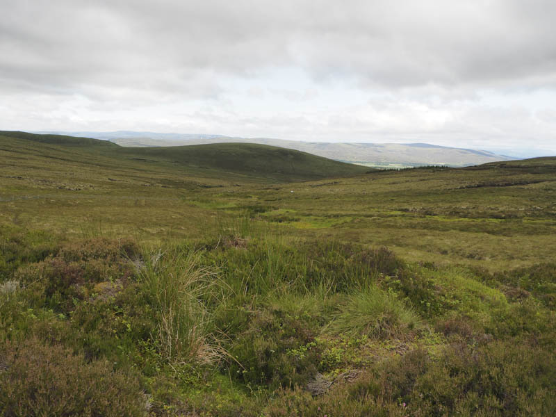
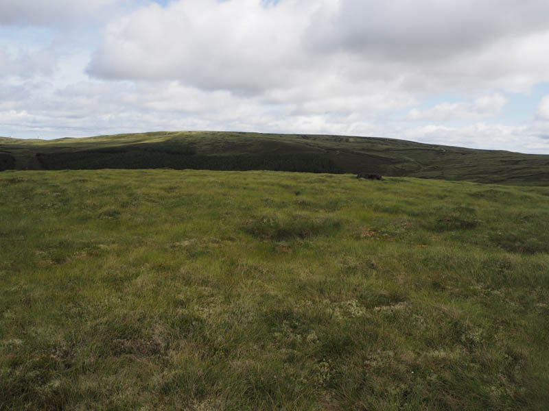
Here I descended south-west along its edge then through rough vegetation, including long heather, before ascending the Sub Dodd, Carn na Croite, where the summit was unmarked.
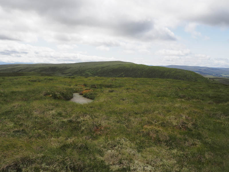
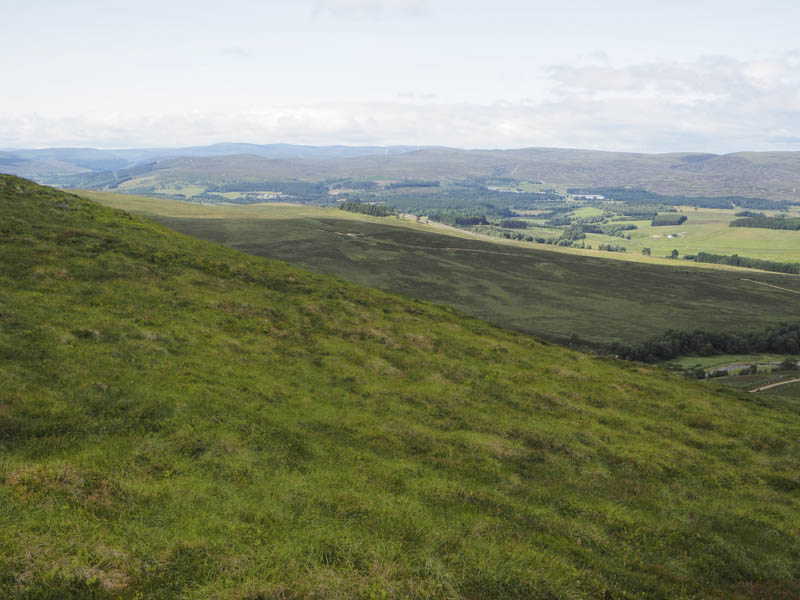
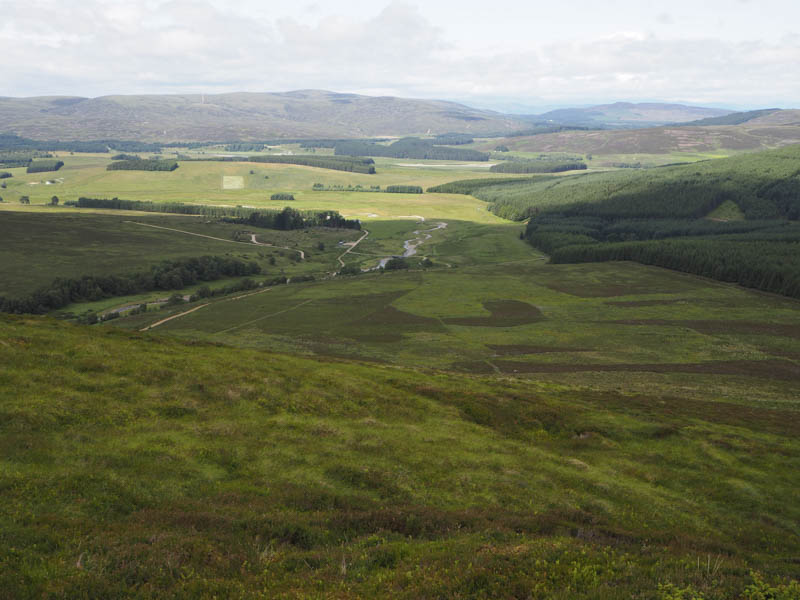
A fairly steep descent west involved crossing a stock fence to reach the vehicle track on the east side of the Allt Bruachaig. This track was followed back to the bridge crossed earlier that day then to the parking spot.
- Time taken – 3.75 hours.
- Distance – 12 kilometres.
- Height climbed – 420 metres.