I drove north-west up the single track road from the A831 at Cannich and parked at the entrance to the forest track at grid ref. NH325317.
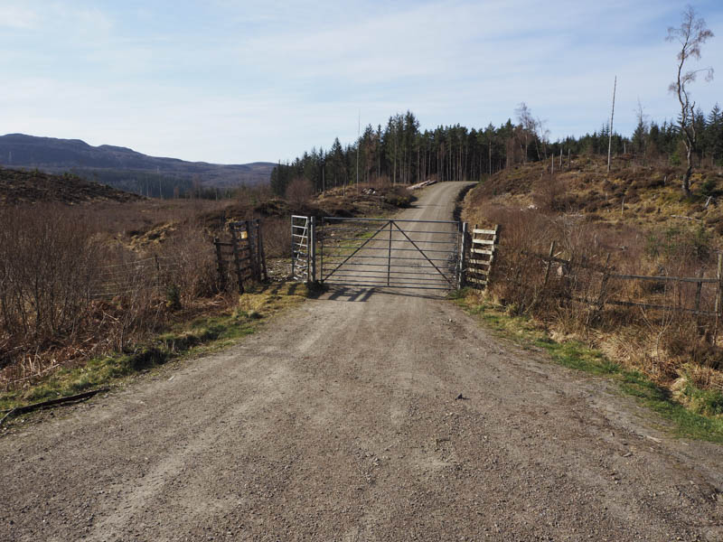
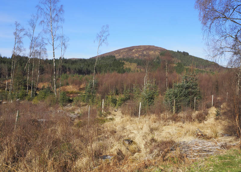
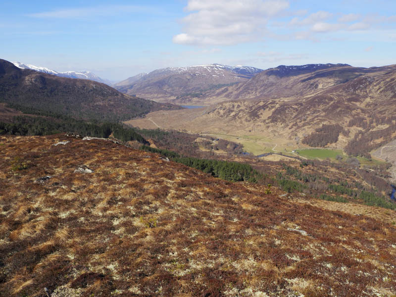
I then set off south-west along this forest track, part of the Glen Affric/Kintail Way, to a junction of tracks. Here I decided to follow the track going north-west and look for a suitable point to head up through the trees and climb Beinn a’ Chairein. However there was no obvious gap in the trees and I was now closer to Meall Dubh, the second hill in my plan.
The track eventually came to an end so I left it and climbed west through mainly birch trees. The route through them wasn’t as bad as expected with sufficient gaps between the trees to make slow progress uphill. There were areas of damp moss and also a few crags but eventually I emerged from the trees.
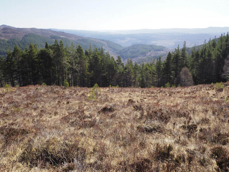
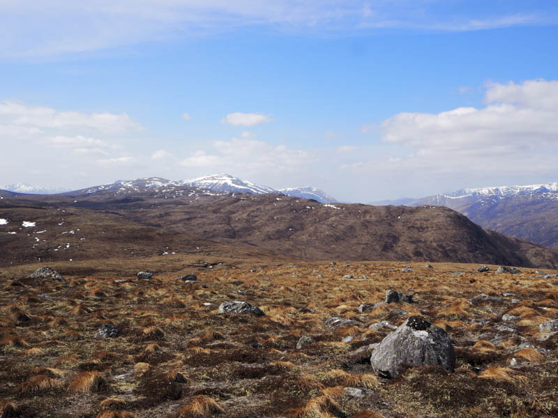
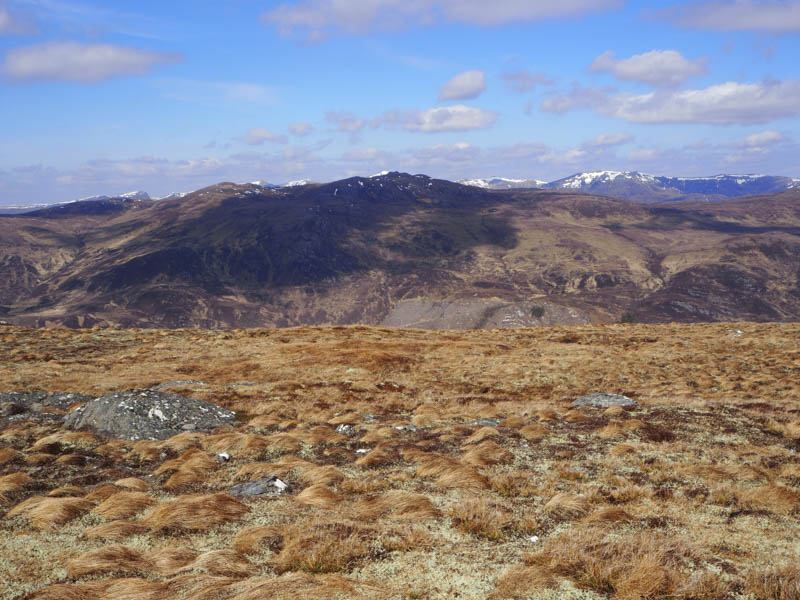
I was now into long thick heather mixed with some soft mossy ground and tussocks which made for tough walking. Eventually I arrived at the summit of the Tump, Meall Dubh, visiting three different highpoints with the southerly one appearing to be the highest. I sat for some time at the north-east knoll enjoying the sun and a refreshing cool breeze.
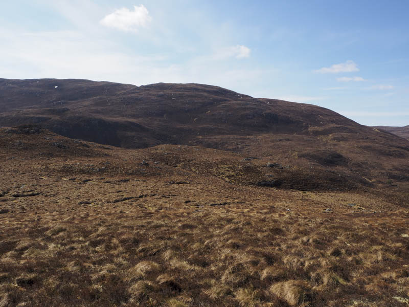
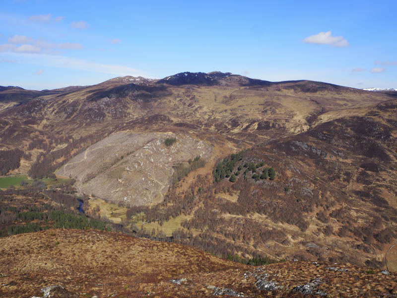
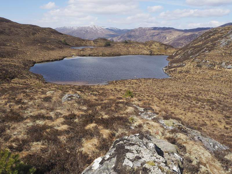
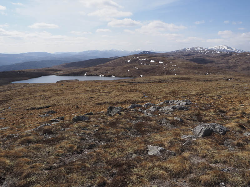
After my relaxation I descended south to Lochan a’ Mhill Dhuibh, went round its east side, then commenced the ascent of Beinn a’ Chairein.
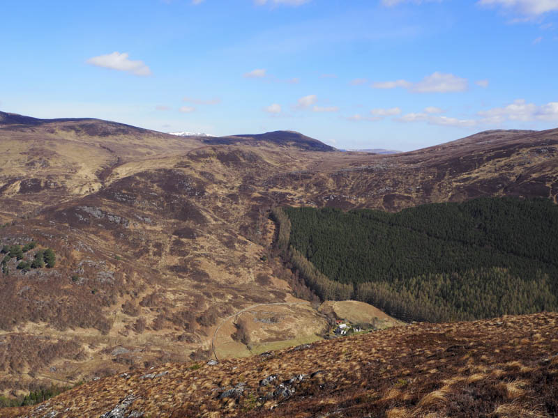
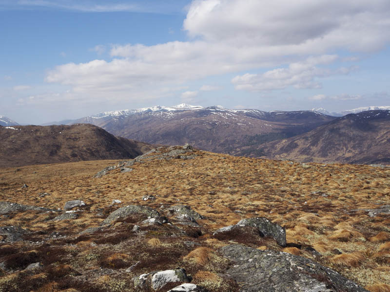
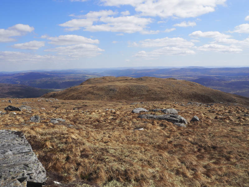
Underfoot conditions were marginally better here but it was still a slow plod to the trig point. A nearby boulder appeared to be the highest point of this Graham Top.
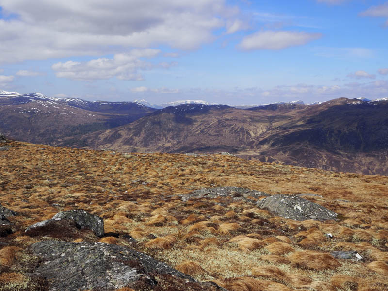
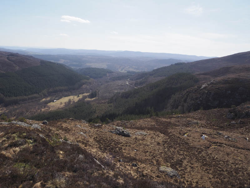
There was more lounging around at this summit before descending south-east through rough vegetation later following the Allt Lochan na Cuidhe and searching for a firebreak through the forest. With nothing obvious I entered the trees which were well enough spaced although several fallen ones blocked my route. Lower down new plantings made the descent awkward at times. Eventually I reached the vehicle track, the Glen Affric/Kintail Way, and followed it north-east back to the start.
- Time taken – 5.75 hours.
- Distance – 10.25 kilometres.
- Height climbed – 655 metres.