Slat Bheinn is an awkwardly placed Graham located between Lochs Hourn and Loch Quoich (now Cuaich on the map) with approach options including from Barrisdale to the west or Loch Quoich to the east. However I opted to climb it from the north but this involved a considerable loss of height and re-ascent.
4am saw me driving the twenty plus miles, mainly west, along the single track Kinloch Hourn Road, accessed from the A87 Invergarry to Bun Loyne Road. As expected there was no other traffic on the road although several camper vans were parked in the glen. It was a fairly slow drive due to the twists and turns and on this occasion numerous deer close to the road.
I parked on the grass opposite the ruin at Coireshubh, south-east of Kinloch Hourn, and at 4.45am crossed the road and set off up the stalker’s path that zigzagged its way uphill, passing through a gorge, and running below Sgurr Dubh to the col between it and Sgurr nan Eugallt East Top. Not long after setting out I realised that before leaving the house I had forgotten to uplift the food for this trip. I did have four cereal bars which were to be my breakfast so I would have to skip this meal.
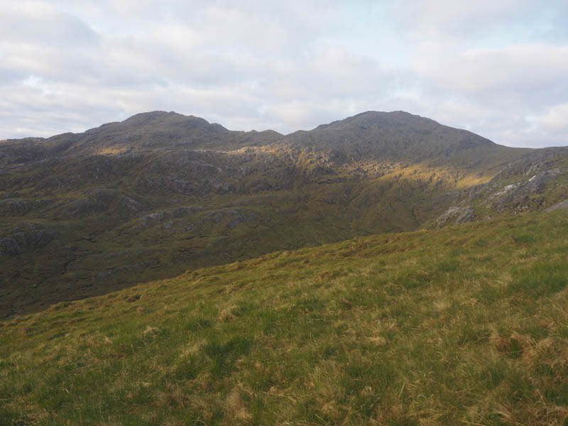
From the col a walker’s path followed old metal fence posts onto Sgurr nan Eugallt East Top. The highest point of this Sub Simm (deleted Corbett) was a rock south-east of the trig point. Unfortunately the cloud had lowered on my approach so there were no views.
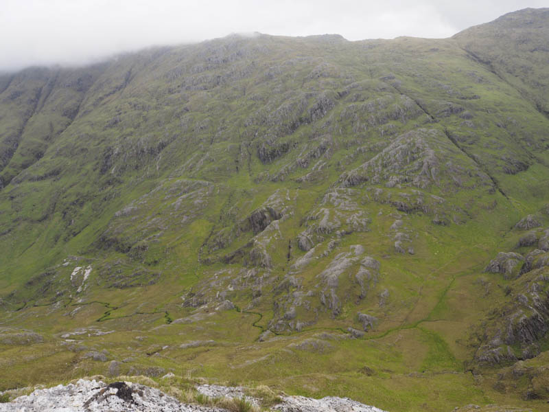
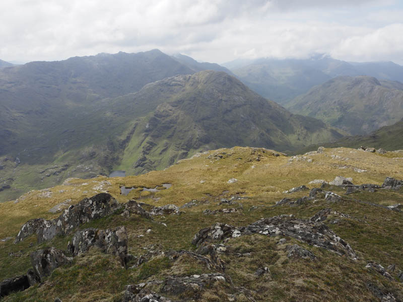
With breakfast cancelled and no views I descended south/south-west through numerous crags, more than shown on the map, making for slow progress and on occasions backtracking to avoid steep drops.
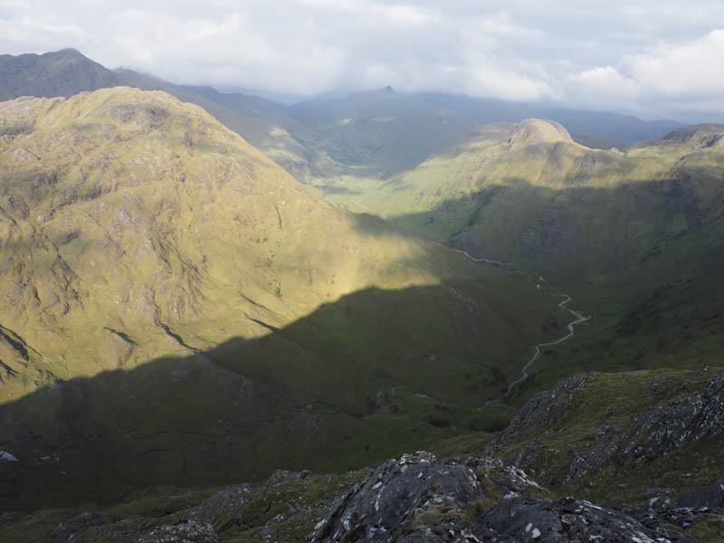
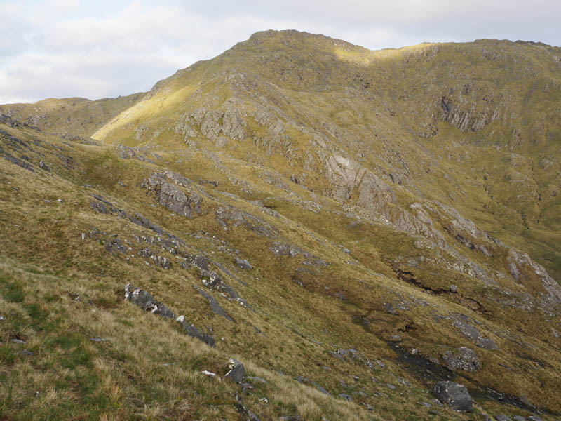
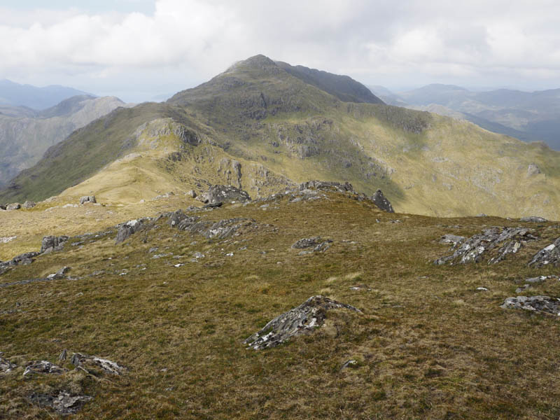
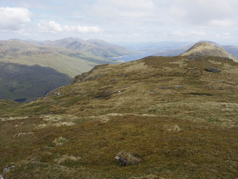
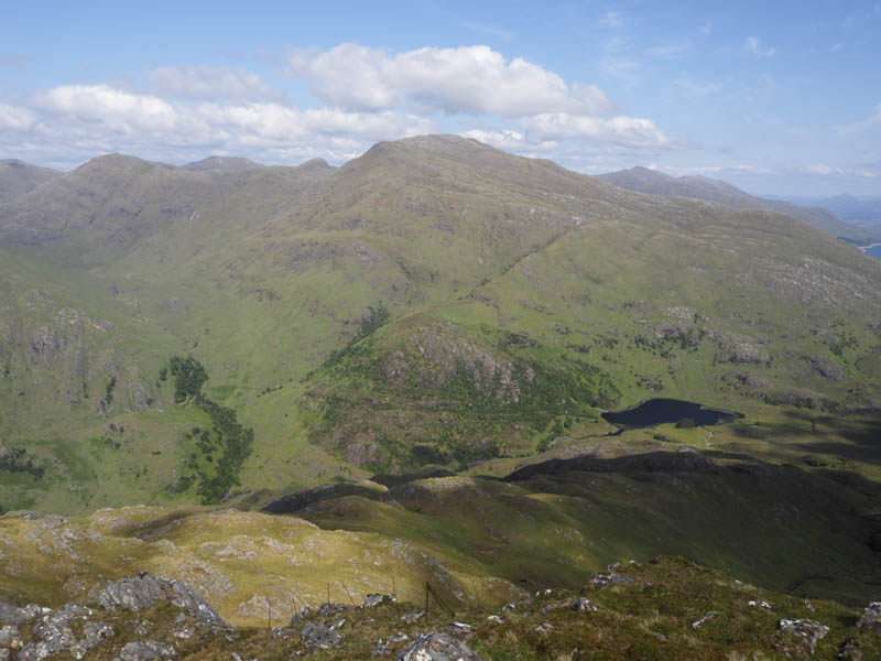
After a descent of over 600 metres I joined the path in Glen Barrisdale and followed it briefly south before climbing a steep, wide grassy gully which narrowed higher up. It was a bit of a struggle put down to the lack of food having not eaten since the previous evening. Slat Bheinn’s East Ridge was reached and after a few undulations, avoiding a couple of crags, and five hours after setting out I reached the summit of this Graham, an outcrop near the cairn. Again low cloud engulfed the summit as I neared the top.
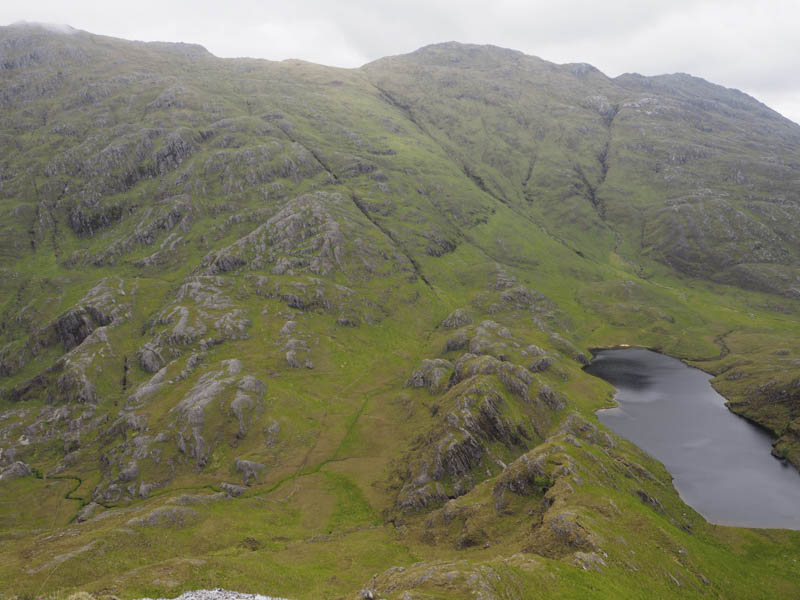
After consuming two of the four cereal bars I descended the East Ridge towards Loch an Lagain Aintheich with more rough going above its north shore.
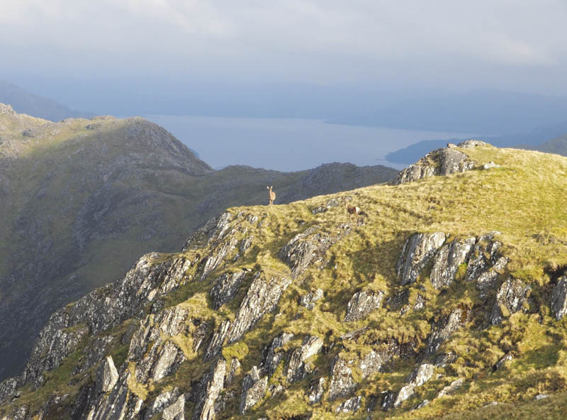
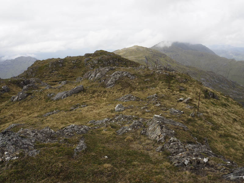
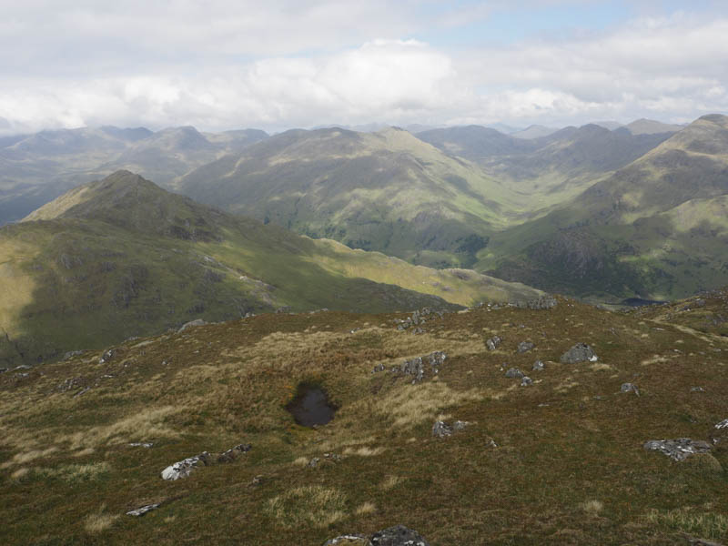
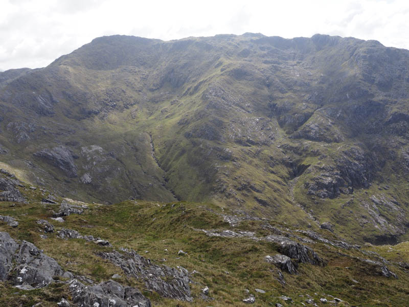
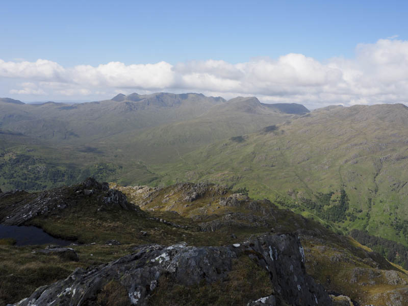
It was now time to regain the lost height from earlier in the morning but I planned to include a couple of Tops as I was unlikely to be back in this area. I climbed steeply north-east then east, avoiding the crags, with frequent stops due to a lack of energy, and onto the East Ridge of Sgurr a’ Chlaidheimh where I joined a path. There was still a bit of work and energy required to reach the cairn marking the summit of this Corbett Top and Hump, where I consumed a third cereal bar.
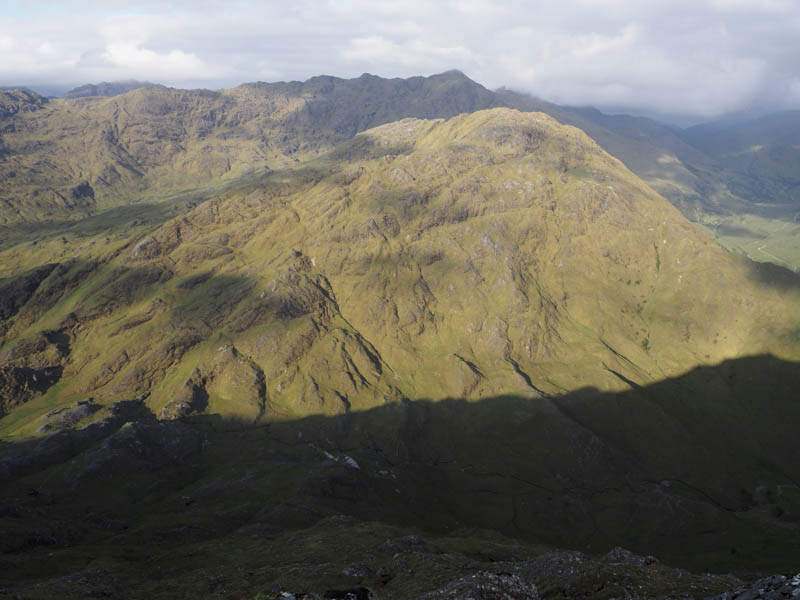
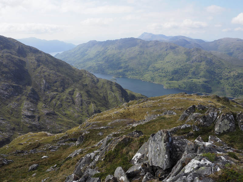
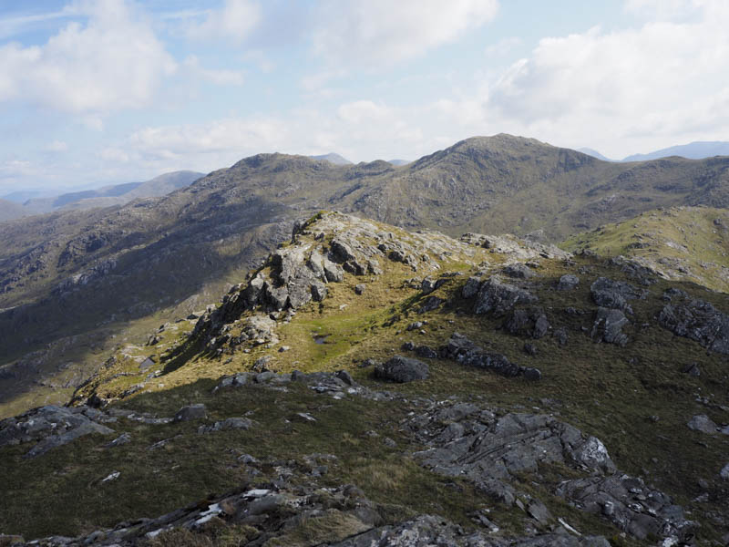
I returned along the East Ridge and to the col with Sgurr a’ Chlaidheimh West Top before ascending this Corbett Top. Some rocks marked the summit of this hill.
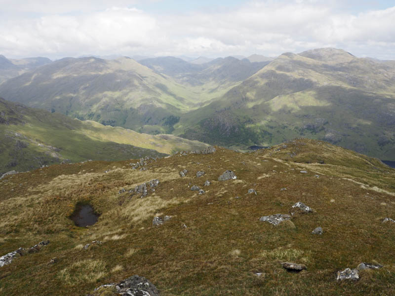
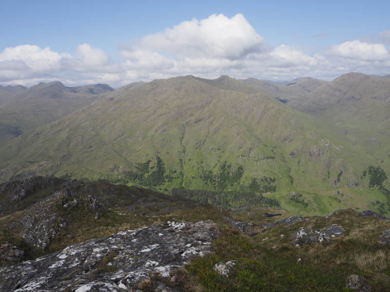
The descent north-west took me to the col with Sgurr nan Eugallt East Top where I commenced the re-ascent of this hill. Around 400 metres from its summit I walked below its south-east face to join the walker’s path on its north-east ridge then descended to the col with Sgurr Dubh. From there I climbed north to the rocks marking the summit of this Graham Top where I consumed my final cereal bar.
I returned to the col with Sgurr nan Eugallt East Top where I joined the stalker’s path used earlier that morning and followed it back to my car arriving there over 12½ hours after setting out.
- Time taken – 12.5 hours.
- Distance – 22.5 kilometres.
- Height climbed – 2075 metres.