We were staying in the village of Strontian so it was just a short drive north to the car park at Ariundle, the starting point for our ascent of the Graham, Sgurr nan Cnamh.
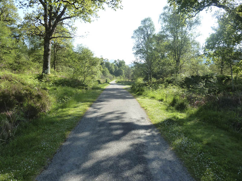
It was a fine summer’s morning as we walked along the vehicle track through Ariundle Oakwoods. The condition of the track began to deteriorate and around 45 minutes after setting out we came to a double set of gates. The first one was a deer gate while the other was a locked stock gate with a side gate to permit access for walkers.
Beyond these gates the track split and we took the right fork and descended to the ruins at Ceann a’ Chreagain and to the Strontian River which after a period of dry weather was easily crossed. We then walked along some animal trails on its east bank before climbing the nose of Sgurr a’ Bhuic working our way up through the rocks by-passing the summit.
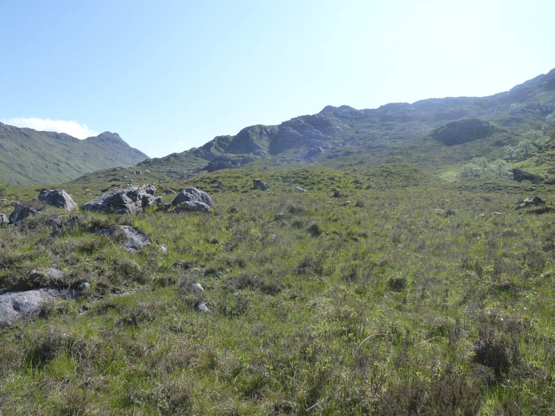
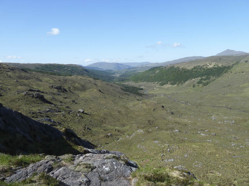
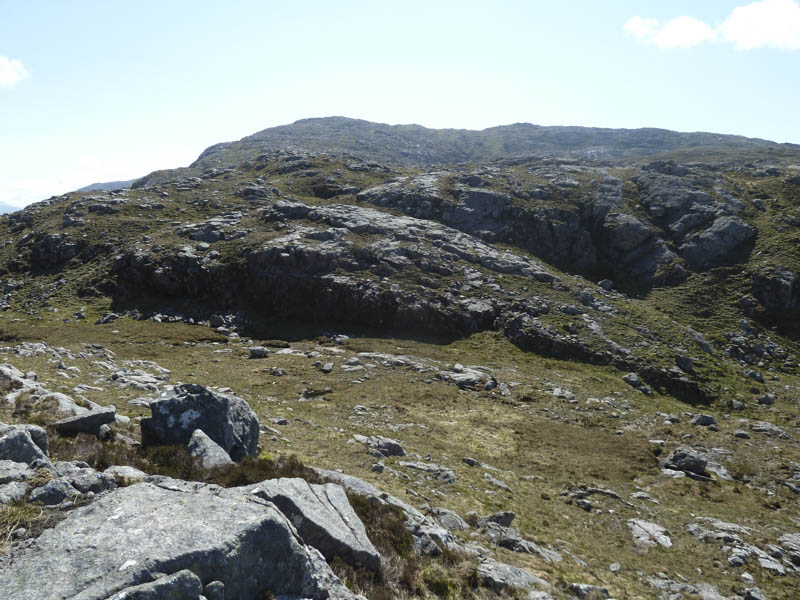
We continued south-east across some undulating ground to reach the cairn on Sgurr nan Cnamh then to its highest point, a rib of rock beyond.
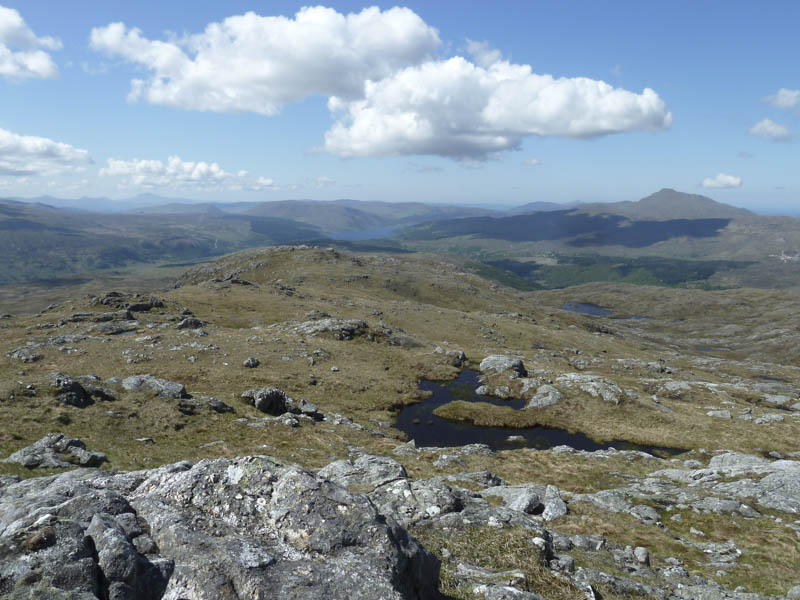
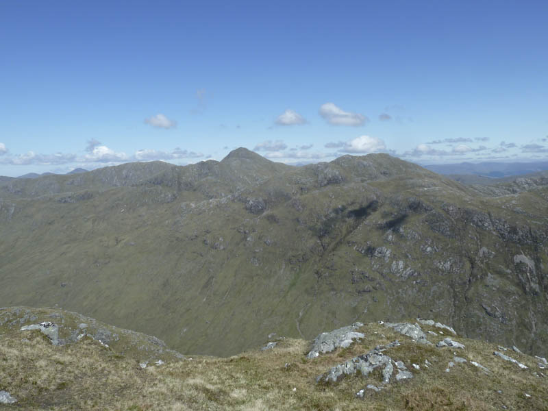
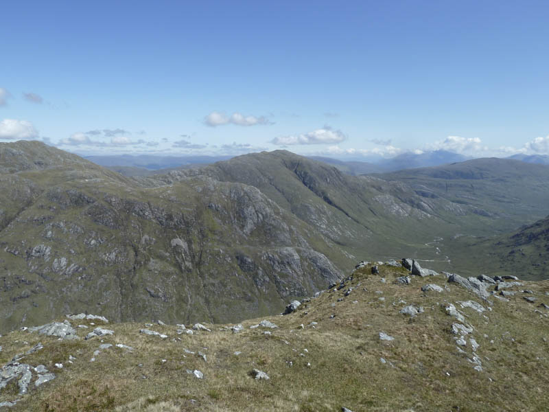
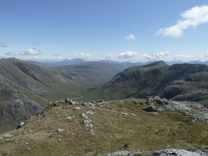
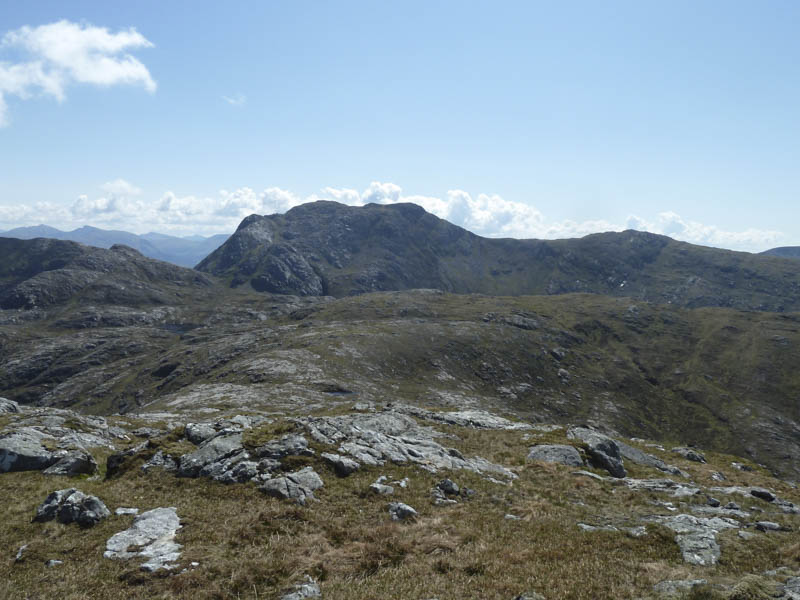
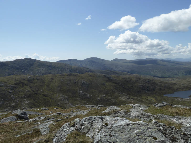
After an extended break here we headed back, initially retracing the upward route, before lower down descending a gully and making a more direct return to the ruins at Ceann a’ Chreagain. Thereafter we retraced our route through the Oakwoods.
- Time taken – 6.75 hours.
- Distance – 14.5 kilometres.
- Height climbed – 790 metres.