I arrived at the bridge over the Allt Achadh Fairidh, east of the A838 Lairg to Laxford Bridge Road and north of the hamlet of Achfary, just before 8am. There were a couple of camper vans there, obviously overnight, but I managed to park alongside one of them.
Once booted up and in rather windy conditions I set off across this bridge and along the tarred private road to Airdachuilinn.
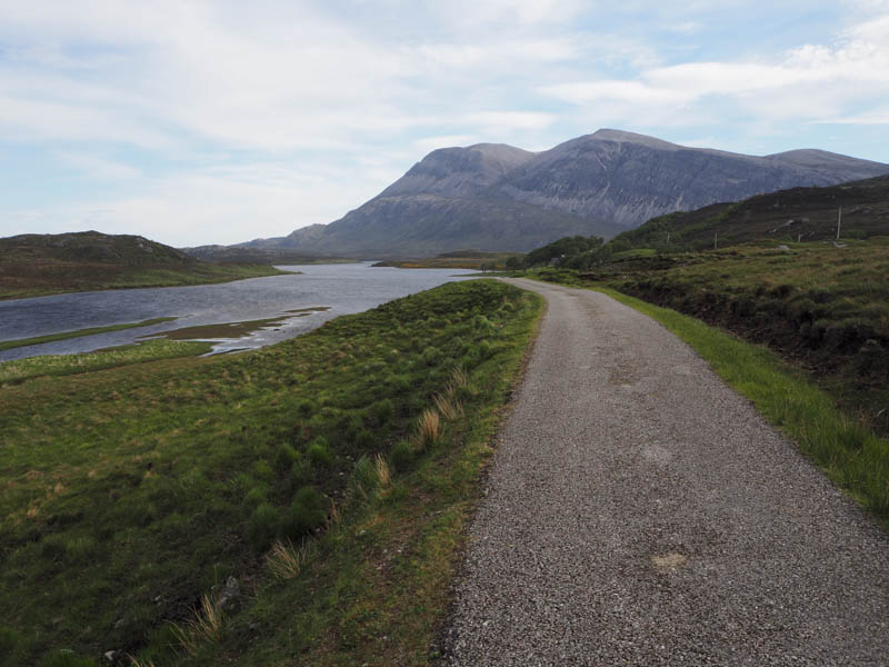
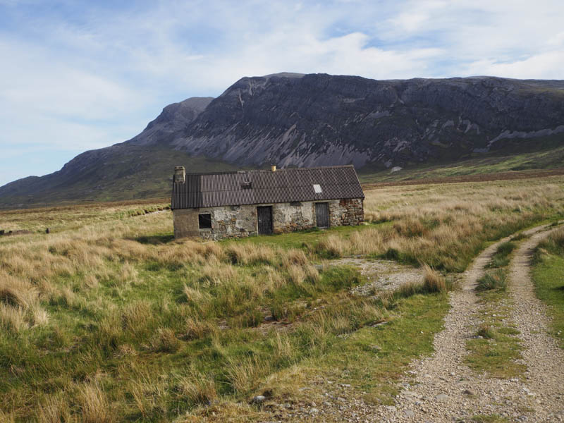
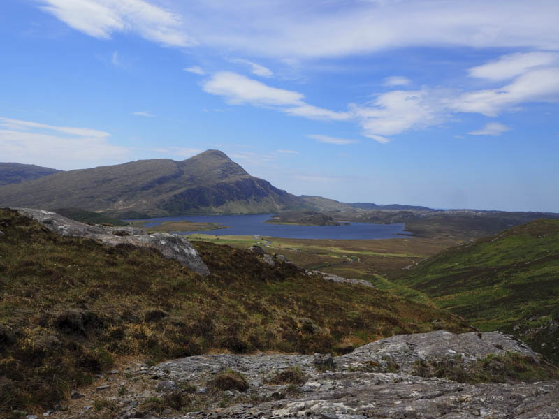
Beyond this property a vehicle track was followed to the buildings at Lone where after crossing the bridge over the Abhainn an Loin the track split.
I went right, heading east and initially away from this stream, as it rose with a short steep section, to Srath Luib na Seilich.
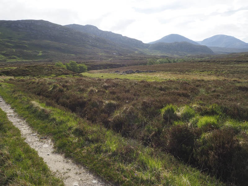
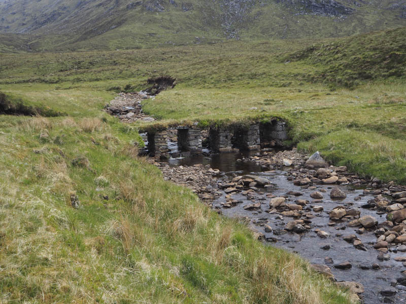
The track then continued east along the north side of the Abhainn an Loin and was in reasonable condition but with height began to deteriorate. There was a section of the river bank washed away but beyond a couple of bridges appeared reasonably new. Estate vehicles seemed to ford the stream before re-crossing it to avoid this area.

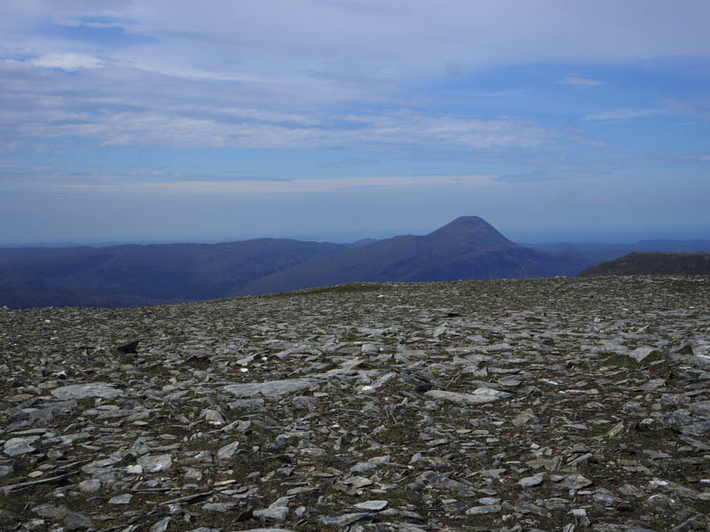
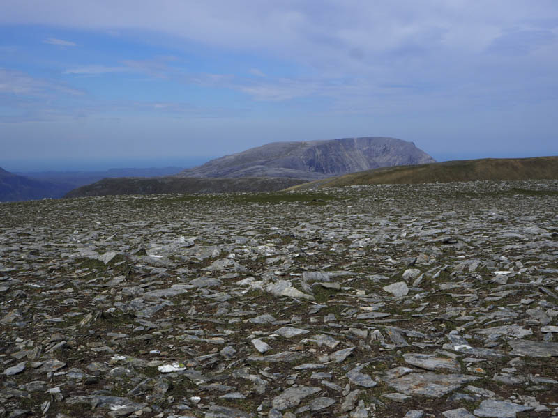
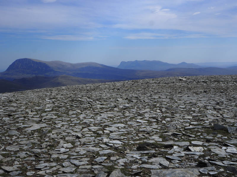
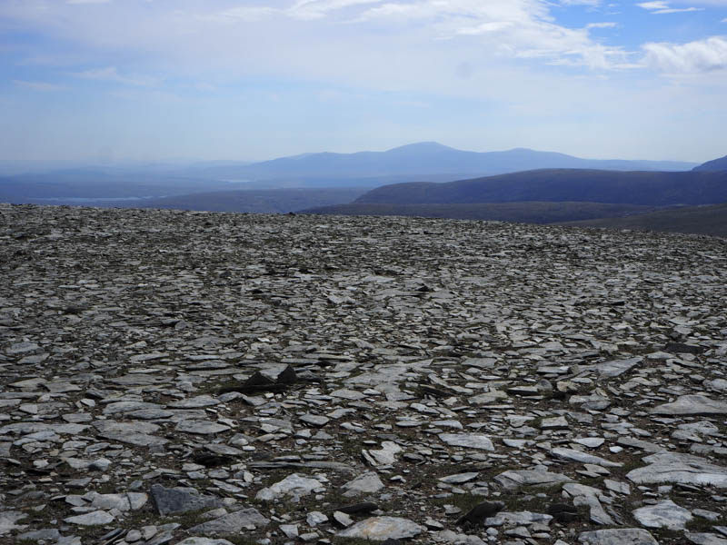
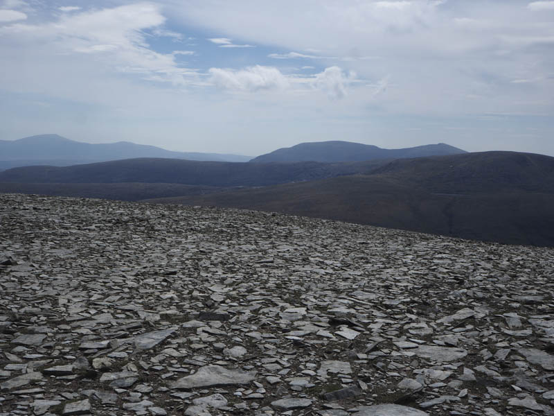
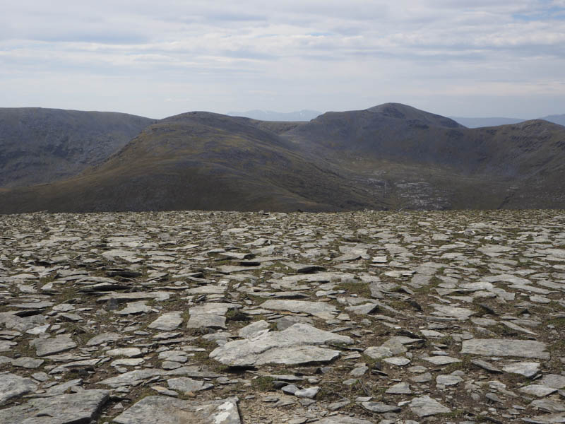
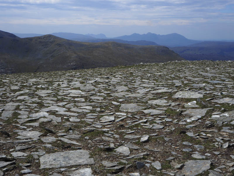
On reaching the Bealach na Feithe I commenced the ascent of Sabhal Beag keeping to the east of the ridge. Here the vegetation was mostly of grass until approaching the summit where it turned stony. The highest point of this Graham was a cairn.
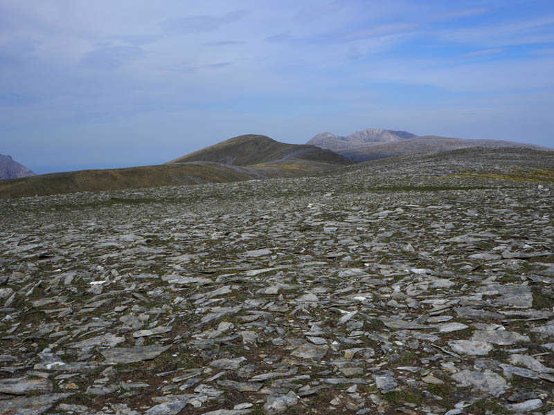
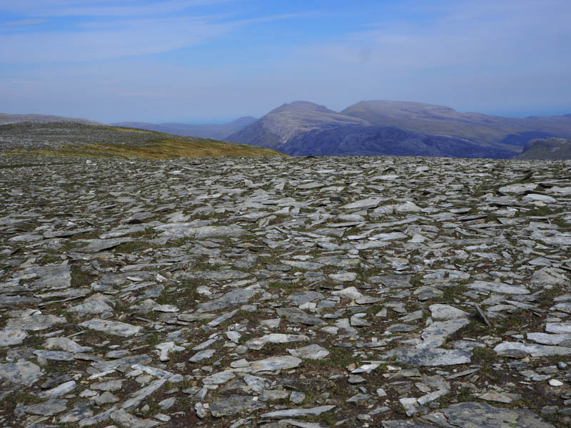
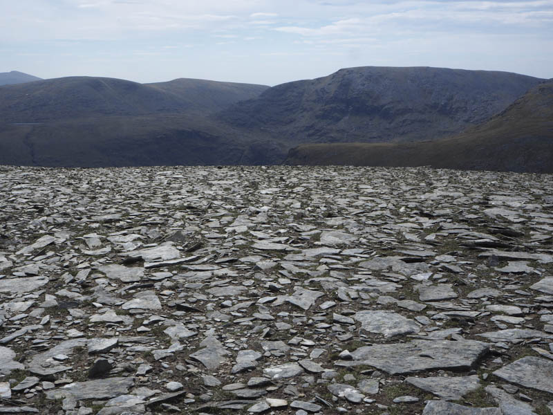
After spending time at the summit I descended south keeping close to the ridge line but it was fairly steep and stony. On reaching the Bealach na Feithe I returned to the start by the approach route.
- Time taken – 6.75 hours.
- Distance – 21.5 kilometres.
- Height climbed – 910 metres.