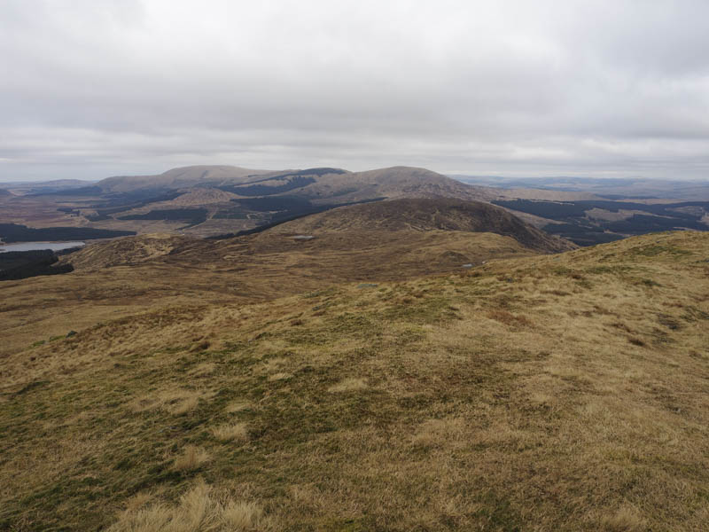
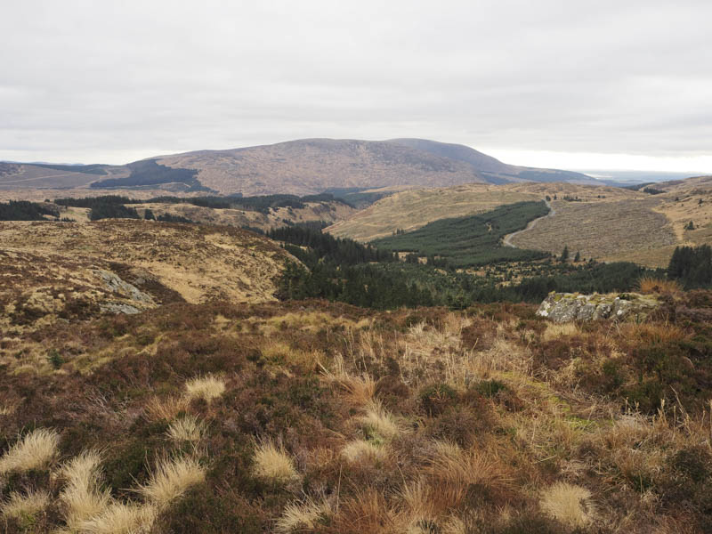
On a previous visit to Galloway I climbed the Graham, Millfore, from Glen Trool and included Lamachan Hill and Curleywee on a longish day. On this occasion the plan was to ascend Millfore from the east via the Tump, Cairngarroch.
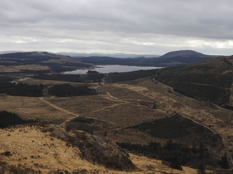
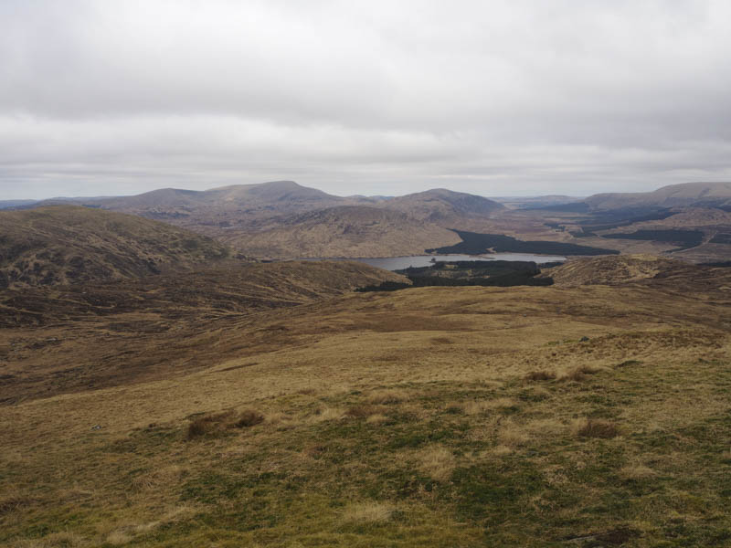
We drove north along the minor road on the west side of Clatteringshaws Loch, with its numerous pot holes, accessed from the A712 Newton Stewart to New Galloway Road. The minor road later headed west and on reaching an obvious bend beside the stream Craigencallie Lane we parked at the edge of a forest track.
Once geared up we walked a few metres south along the forest track before leaving it and commencing the ascent of Cairngarroch.
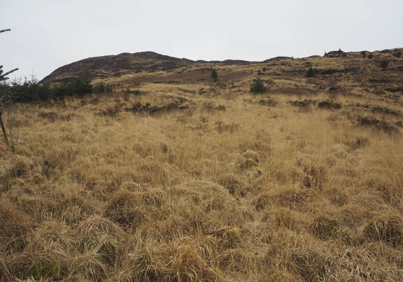
The route was through tussocky ground and dead bracken, pretty horrendous, with little improvement on height gain even on areas of heather. It made for very slow progress but eventually we reached the summit of this Tump, marked by a cairn.
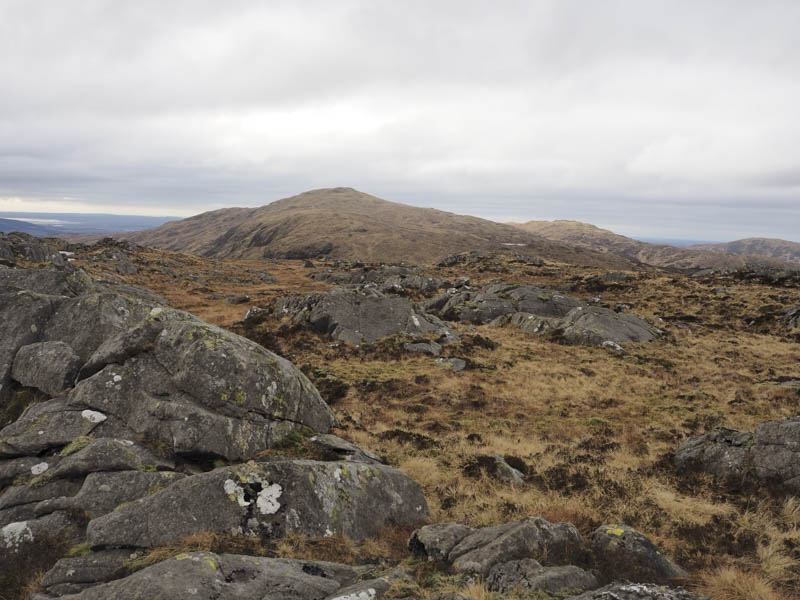
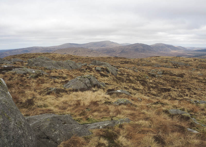
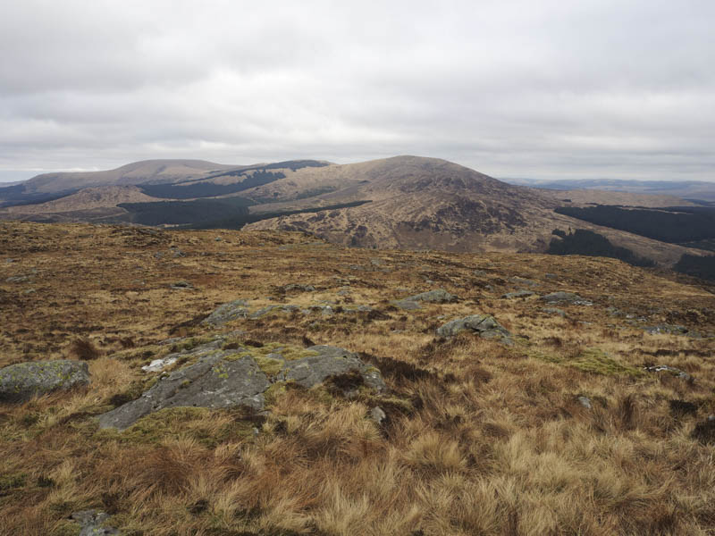
From Cairngarroch we descended south-west, there were traces of a path, to reach the col with Millfore, then commenced the ascent of this hill. Occasionally there were traces of a path or an ATV track above the Buckdas of Cairnbaber making the walking easier. The summit of Millfore, also classed as a Donald, was some rock to the south-west of the trig point.
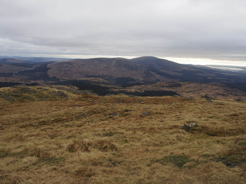
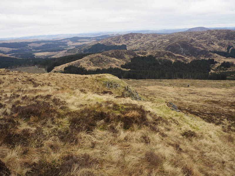
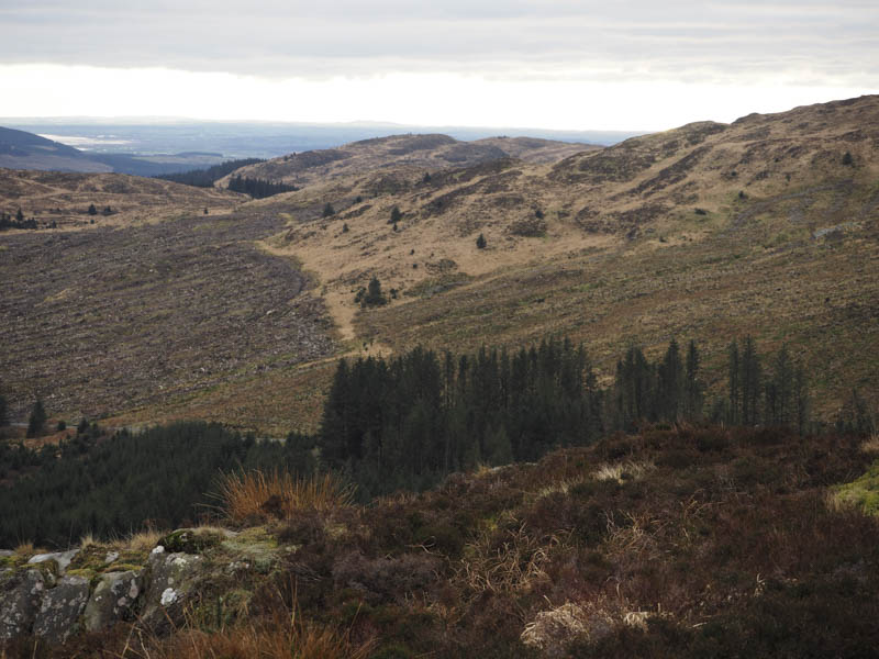
To avoid the rocky outcrops we initially descended south-east before swinging round to the north-east through rough vegetation to an ATV track. This took us to a stock fence topped with barbed wire enclosing an area of forest where the trees had been harvested. We followed this fence until what appeared to be an old firebreak, crossed the fence, then struggled through long tussocky grass, some brash and bog to the forest track.
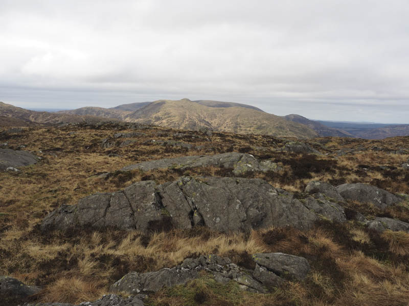
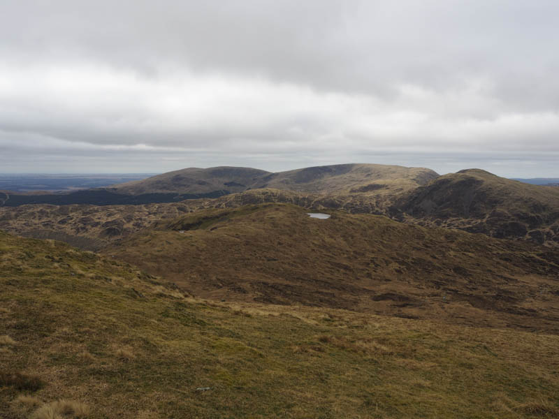
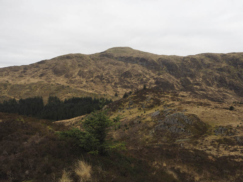
Here I left my walking companions who headed along the forest track back to the car. I crossed the track and commenced the ascent of Munwhul, initially through more tussocks, before an ATV track led to below the summit of Munwhul. Here I left the track and climbed through long heather to the summit of this Tump which was marked by a cairn.
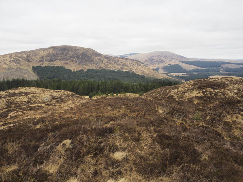
I retraced my route back to the forest track then it was roughly a two kilometre hike back to the start. After around a kilometre I was met by my hiking friends who had driven along the track to pick me up. A pleasant surprise.
- Time taken – 4.5 hours.
- Distance – 8.5 kilometres.
- Height climbed – 630 metres.