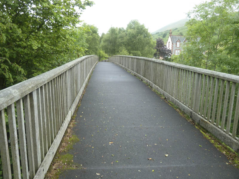
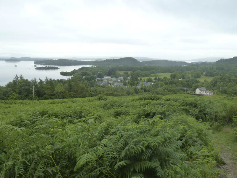
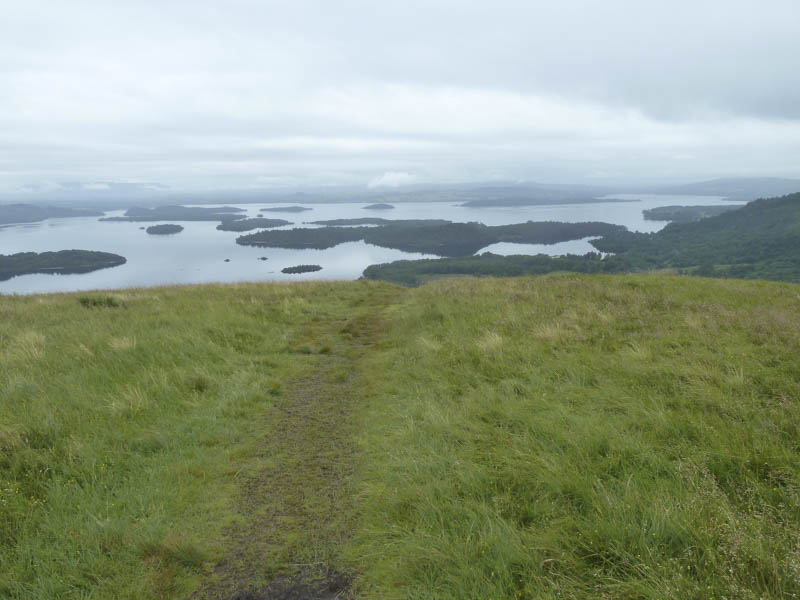
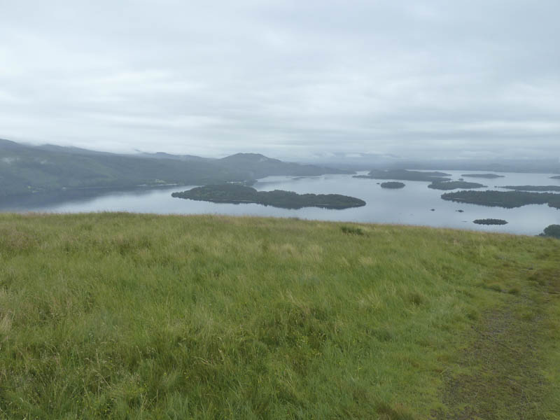
I left my car in the pay and display car park in the village of Luss on the west shore of Loch Lomond, on the east side of the A82 Glasgow to Crianlarich Road. We set off through the village and across the footbridge over the A82 then through a kissing gate.
Immediately to its right a stile was crossed and a grassy path led towards Strone Wood.
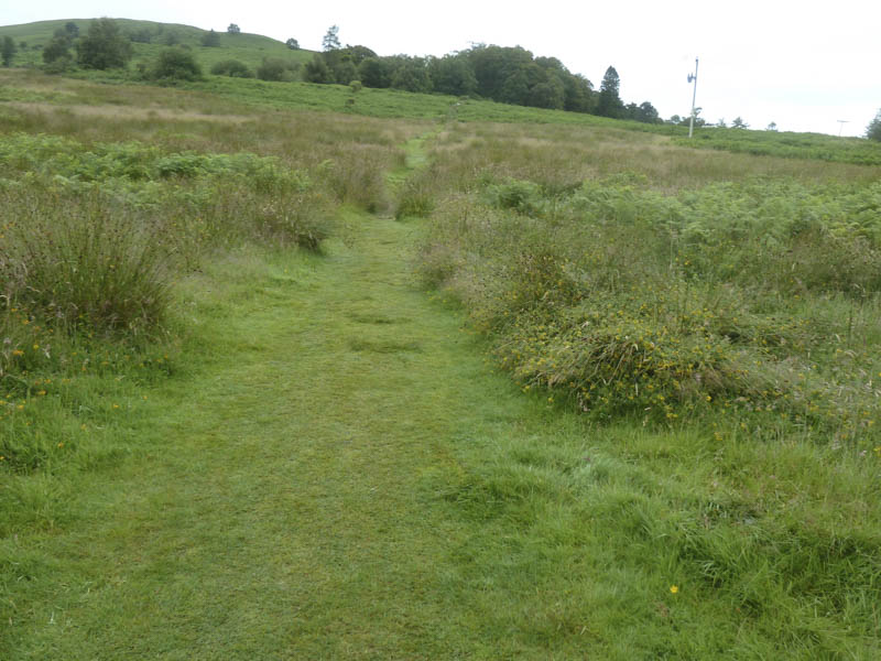
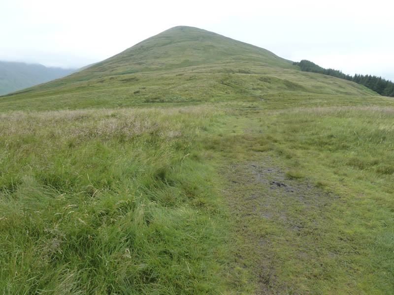
This path passed through some long bracken and to a stock gate. Beyond, it was a steady climb in light rain on what was now a very wet and in places muddy path with several areas of bog.
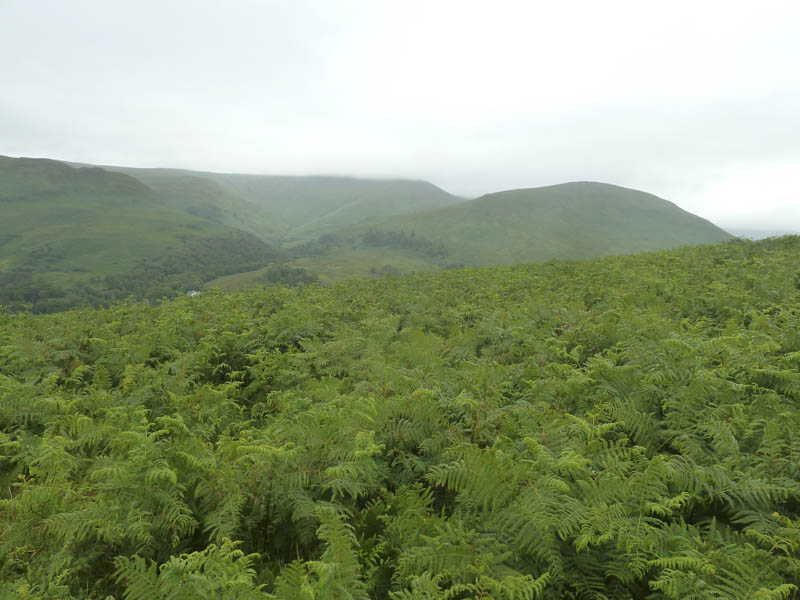
The gradient eased a bit before increasing as the cloud began to lower and we were soon engulfed by it as we continued to follow the wet and muddy path. Near Creag an t-Seilich we were passed by three runners on their descent.
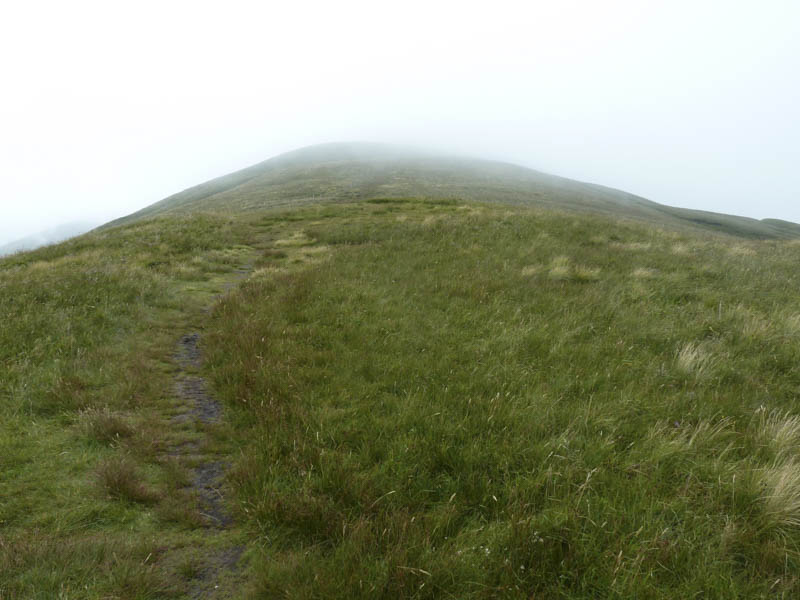
The summit of the Graham Top, Beinn Dubh, marked by a cairn and surrounded by wet peat, was reached then it was a gradual descent on a path along the side of a stock fence. When this fence turned north-east we remained on the ridge although the path was no longer obvious.
On heading towards Mid Hill out of the gloom appeared a small unattended digger and here areas of vegetation had been built up but I didn’t know why. A couple of cairns were reached although the actual highest point of this Graham was slightly east of the westerly one.
With no views we returned to Luss by the ascent route.
- Time taken – 4.25 hours.
- Distance – 10.75 kilometres.
- Height climbed – 735 metres.