It was back to Glen Trool this time to climb Lamachan Hill and Curleywee. On my previous visit back in 2009 I used the Shiel Burn approach so it was decided to use this route. We left the car in the parking area at the east end of the glen, accessed from the A714 Newton Stewart to Girvan Road, and descended passed the house at Buchan to the bridge over the Glenhead Burn then along the forest track to the Sheil Burn.
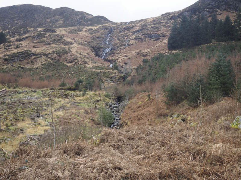
At this point we left the track and walked up the east side of the burn through some new tree plantings, the mature trees having been harvested. Beyond the tree line it was into an area of grassy tussocks, initially on a path, then for a while it was tough going until the grassy vegetation flattened out.
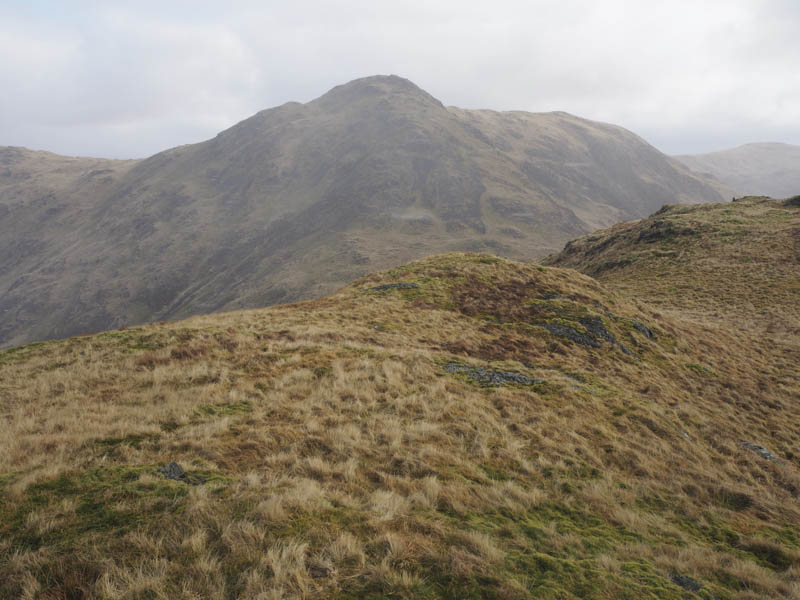
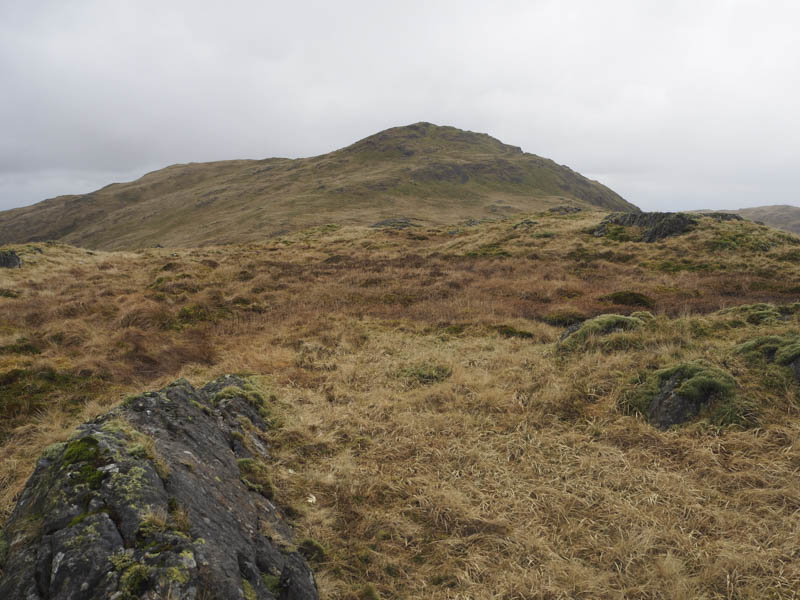
We ascended Cambrick Hill and in snow flurries headed up the north-west ridge of Lamachan Hill. After a long section of easy walking with little height gain we reached the summit of this Graham and New Donald, marked by a boulder in the grass. There was also a small stone shelter beside the dyke to the east.
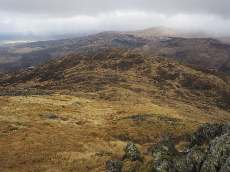
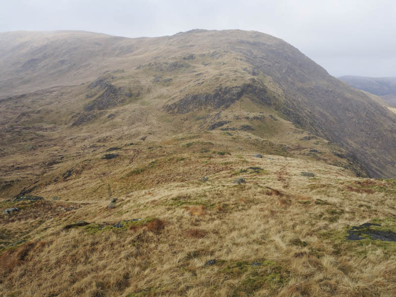
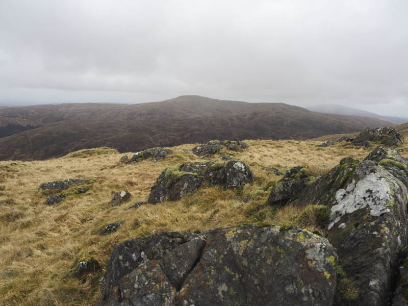
We descended north-east to Bennanbrack, following old fence posts, then continued the descent south-east through some crags to the col with Scars of Milldown.
My friends took the bypass path to the north while I made the easy ascent on a grassy path to the summit of this Graham Top, marked by an outcrop.
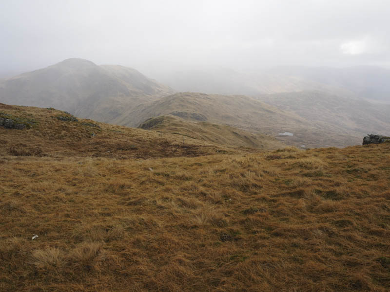
We regrouped at the Nick of Curleywee where we crossed a fence then climbed steeply through some rock onto the summit of the Graham Top and Hump, Curleyee. The highest point was marked by a cairn.
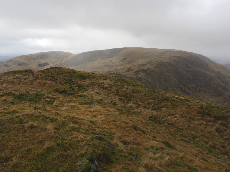
In 2009 I continued out to Millfore but having climbed it again earlier this week we descended north-east and made the easy climb to the summit of the Sub Simm, White Hill, marked by a rock.
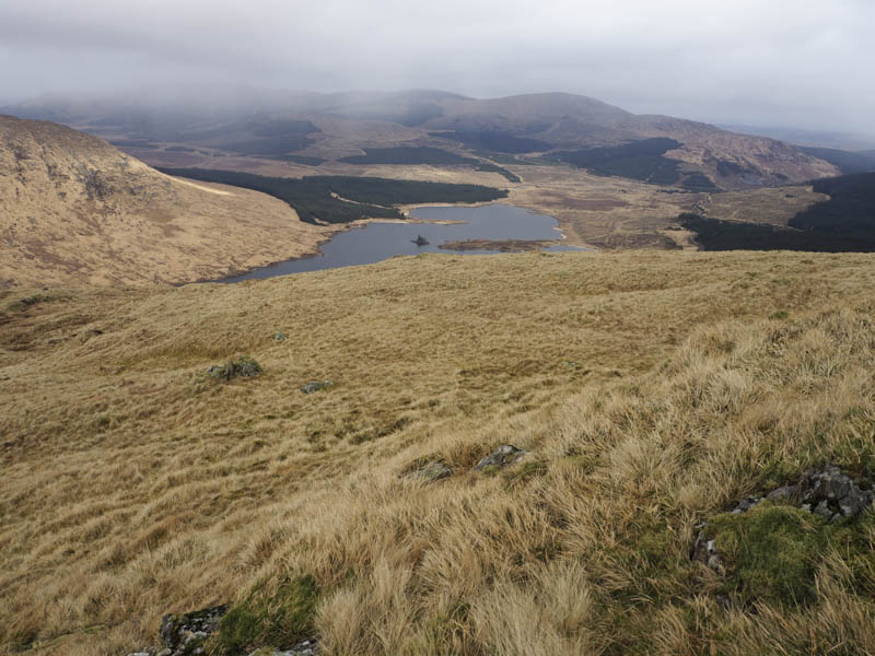
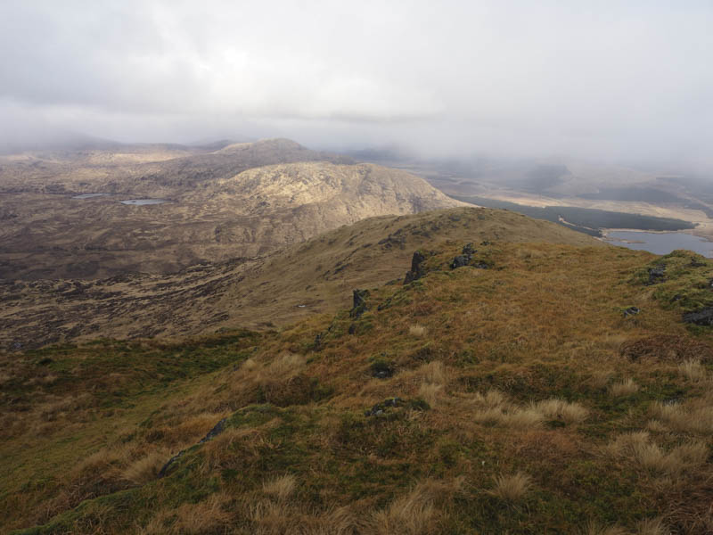
From there we descended north then north-east managing to avoid some of the tussocky ground but it did involve working through crags. The final stretch was very awkward with long tussocky grass to contend with before reaching the forest track at NX45387853. This track was then followed west back to the start.
- Time taken – 5 hours.
- Distance – 15.5 kilometres.
- Height climbed – 890 metres.