The start of this walk was Gleann Beag which was accessed along the single track road from Glenelg. East of Corrary we drove across a substantial bridge over the Abhainn a’ Ghlinne Bhig and parked on rough ground on the south side of the river. We then walked west along a forest track which later became muddy in the vicinity of timber stacks, the trees being harvested. Beyond these timber stacks the track was covered in brash and prior to the end of the track it was blocked by a fallen tree.
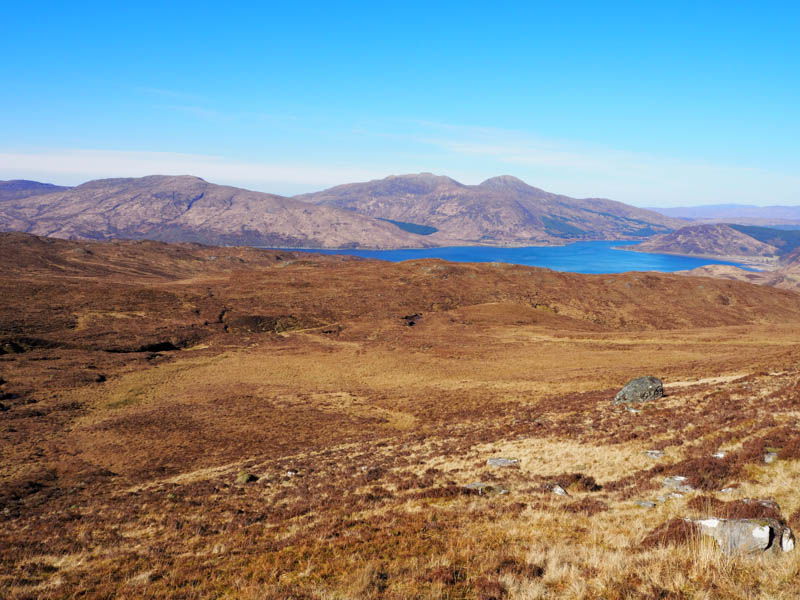
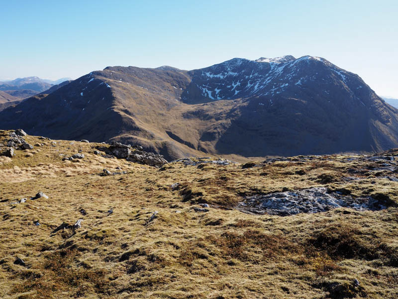
We climbed steeply up the side of a deer fence, the earth was a bit slippery and there were some large branches lying on the ground which we had to walk round. Higher up the deer fence was lying on its side so we crossed it here then it was through deciduous trees and some wet and rough ground onto the open heathery hillside. Another deer fence, east of the Allt Eas Mor Chuil an Duin, was reached and crossed as we gradually gained height and headed for and below the western cliffs of Beinn a’ Chapuill.
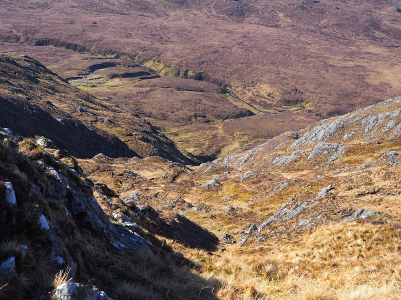
At NG819153, immediately north of a tributary of the Allt Eas Mor Chuil an Duin, we entered and commenced the ascent of a gully. It was a fairly steep climb but any obstacles were avoidable and eventually we emerged from the gully and onto more level ground.
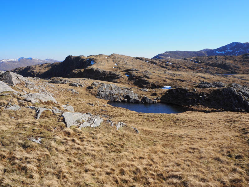
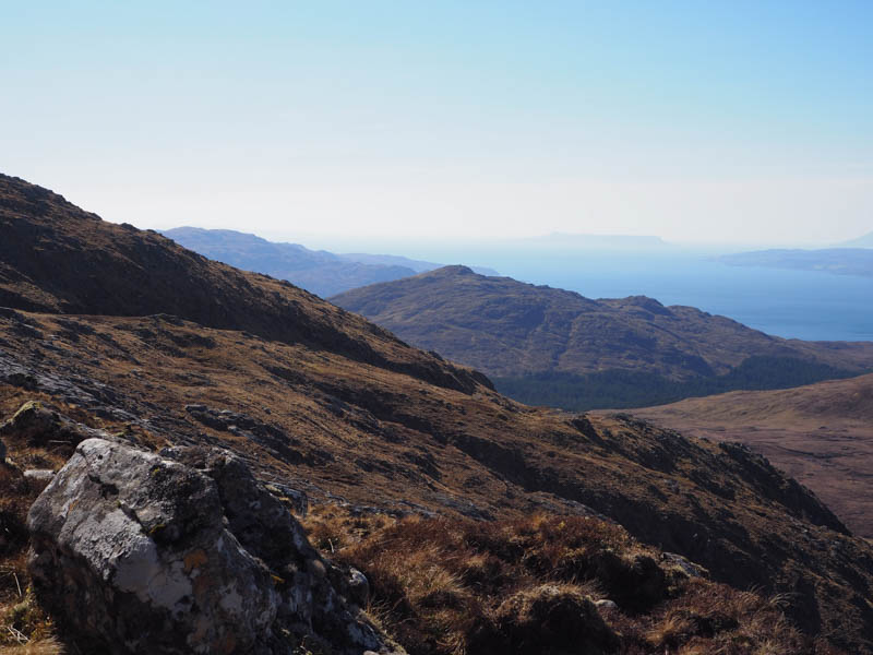
However we were still around a kilometre away from the summit of Beinn a’ Chapuill but it was now easy walking round some knolls and lochans to reach the cairn marking the summit of this Graham.
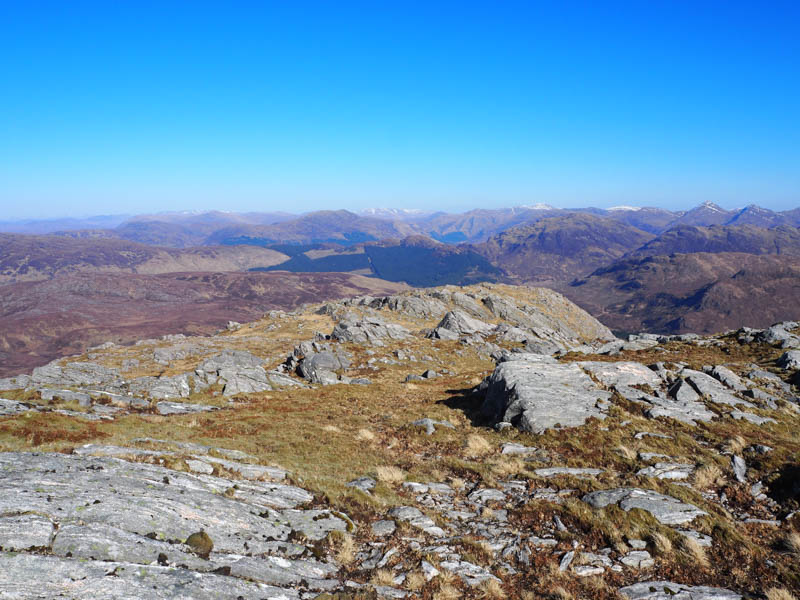
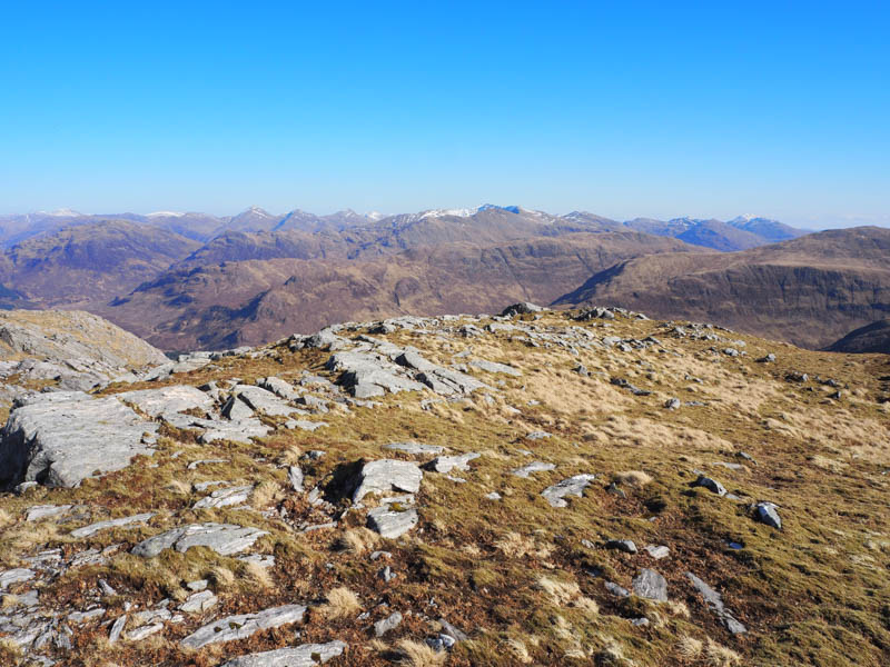
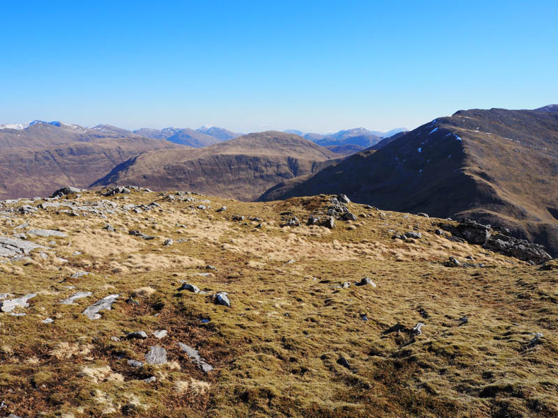
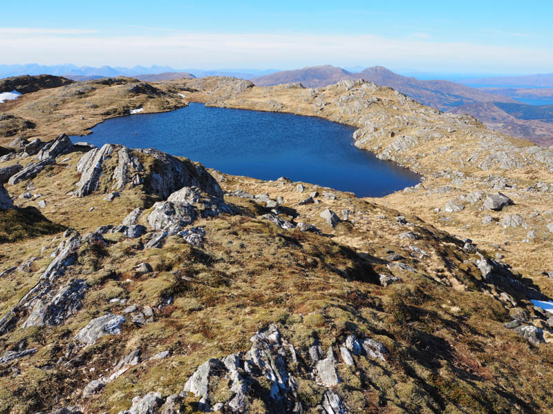
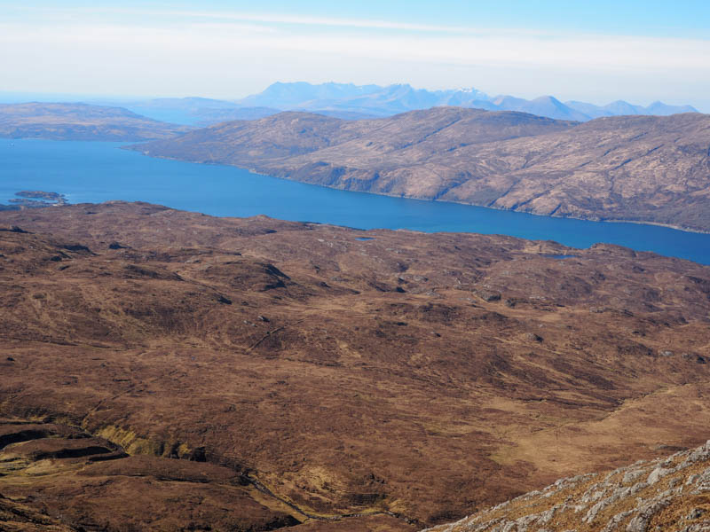
We sat for a while beside the summit lochan, sheltering from the windy conditions, before returning by the approach route. On the descent we located a gate in the deer fence east of where we had crossed it then lower down kept to the west of the collapsed deer fence descending quite steeply at times through the deciduous trees. This led to a tied down gate then we walked east between the deer fence and the Abhainn a’ Ghlinne Bhig where there appeared to be traces of a path. Once alongside the timber stacks we rejoined the forest track and followed it back to the start.
- Time taken – 6.5 hours.
- Distance – 10 kilometres.
- Height climbed – 845 metres.