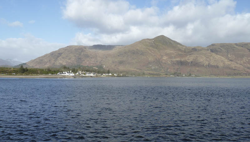
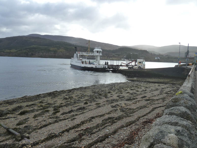
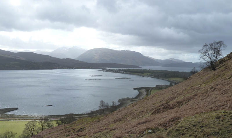
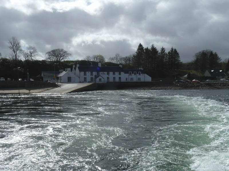
Around 9am I parked at Nether Lochaber, just off the A82 south of Fort William. This gave us sufficient time to change into boots and waterproofs then board the ferry as foot passengers at no charge. The ferry sailed at 9.15am for the short crossing to Corran in Ardgour.
![Corran, Coire Dubh abd Sgurr na h-Eanchainne from Ferry](https://scotlandhills.net/wp-content/uploads/2021/02/01-Corran-Coire-Dubh-abd-Sgurr-na-h-Eanchainne-from-Ferry.jpg)
![Loch Linnhe looking north from Corran Ferry](https://scotlandhills.net/wp-content/uploads/2021/02/02-Loch-Linnhe-looking-north-from-Corran-Ferry.jpg)
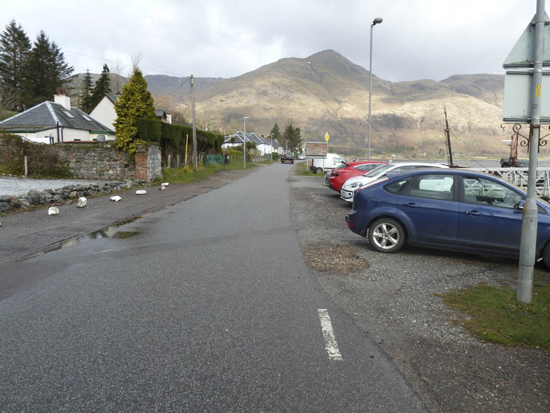
Once disembarked, we walked north along A861 and out of the village.
![Start of walk north along A861 at Corran](https://scotlandhills.net/wp-content/uploads/2021/02/03-Start-of-walk-north-along-A861-at-Corran.jpg)
![Corran Ferry](https://scotlandhills.net/wp-content/uploads/2021/02/04-Corran-Ferry.jpg)
Just beyond Keil Farm there was a ‘footpath’ sign and this took us up the edge of a field of sheep to a small gate then along a rough and muddy path, churned up by animals. Before reaching the old cemetery we left the mud and headed uphill.
![An Camas Aiseig and Corran Narrows, Loch Linnhe](https://scotlandhills.net/wp-content/uploads/2021/02/05-An-Camas-Aiseig-and-Corran-Narrows-Loch-Linnhe.jpg)
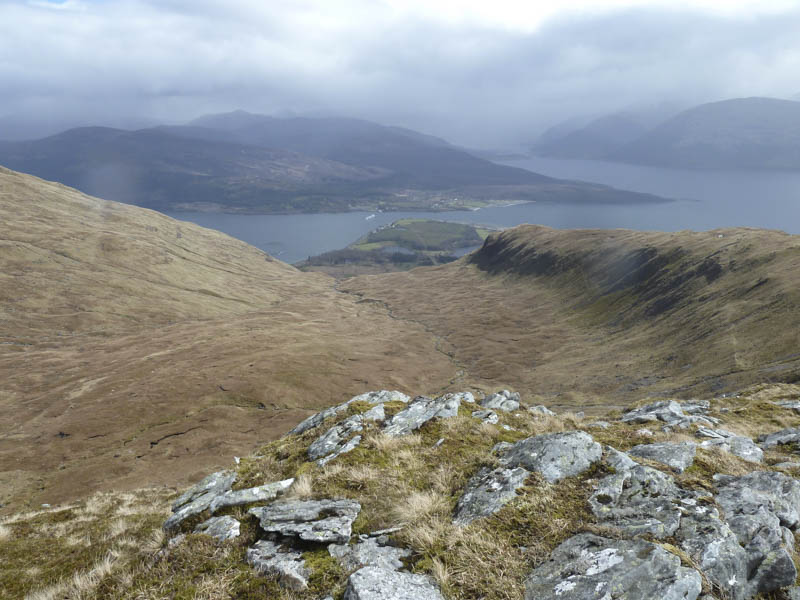
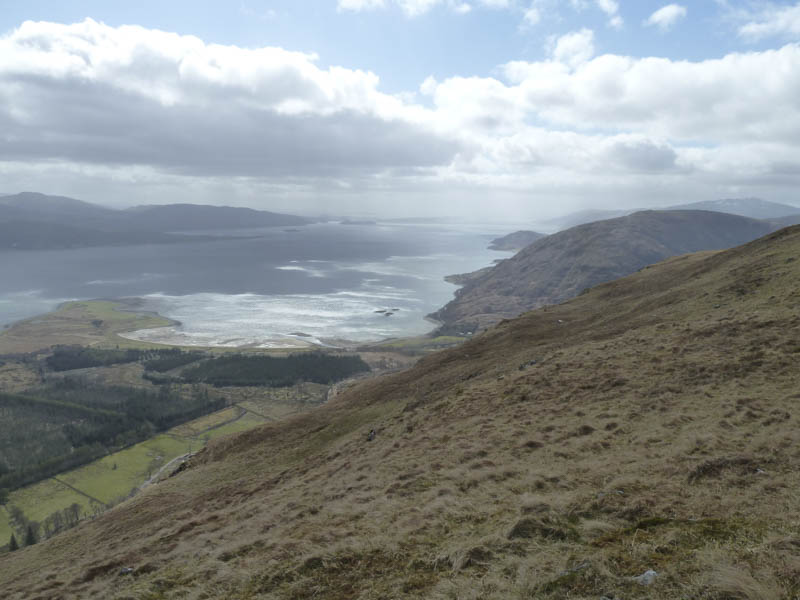
It was a steep climb onto the north ridge of Sgurr na h-Eainchainne then easier walking as we ascended this Graham Top, marked by a cairn and trig point. The views weren’t great due to passing showers.
![Druim na Sgriodain](https://scotlandhills.net/wp-content/uploads/2021/02/06-Druim-na-Sgriodain.jpg)
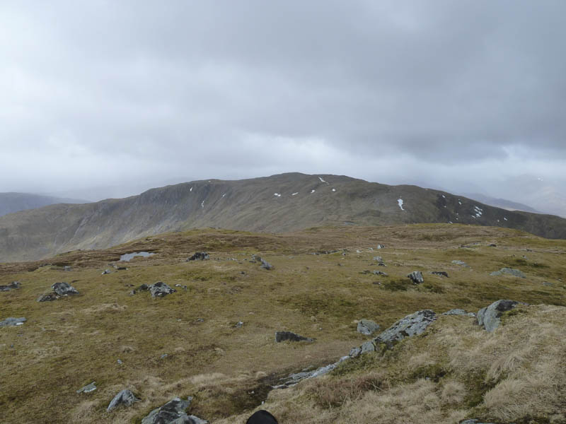
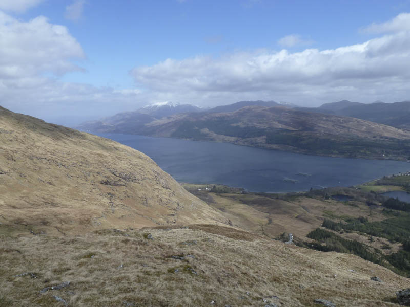
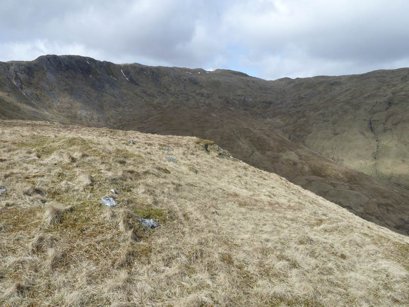
From this hill we descended west then climbed the Graham, Druim na Sgriodain, passing a few lochans, before reaching its summit cairn.
![Glen Gour and Garbh Bheinn](https://scotlandhills.net/wp-content/uploads/2021/02/07-Glen-Gour-and-Garbh-Bheinn.jpg)
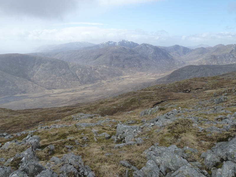
It was a bit cold and windy here so we descended south then south-east round Coire Dubh later stopping for a break once out of the wind.
![Sgurr-na-h-Eanchainne](https://scotlandhills.net/wp-content/uploads/2021/02/08-Sgurr-na-h-Eanchainne.jpg)
![Coire Dubh and Corran Narrows](https://scotlandhills.net/wp-content/uploads/2021/02/09-Coire-Dubh-and-Corran-Narrows.jpg)
![Loch Linnhe with Ben Nevis beyond](https://scotlandhills.net/wp-content/uploads/2021/02/10-Loch-Linnhe-with-Ben-Nevis-beyond.jpg)
![Loch Linnhe, Corran Narrows, Ballachulish Bridge and Loch Leven](https://scotlandhills.net/wp-content/uploads/2021/02/11-Loch-Linnhe-Corran-Narrows-Ballachulish-Bridge-and-Loch-Leven.jpg)
![Across Loch Linnhe to Beinn a' Bheithir](https://scotlandhills.net/wp-content/uploads/2021/02/12-Across-Loch-Linnhe-to-Beinn-a-Bheithir.jpg)
![South down Loch Linnhe](https://scotlandhills.net/wp-content/uploads/2021/02/13-South-down-Loch-Linnhe.jpg)
![Coire Dubh](https://scotlandhills.net/wp-content/uploads/2021/02/14-Coire-Dubh.jpg)
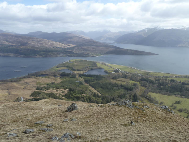
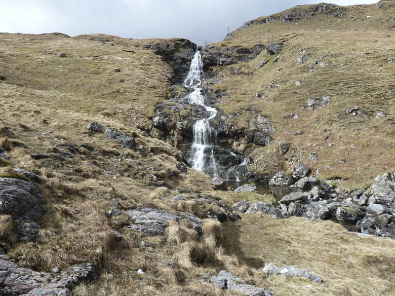
Afterwards we headed for the waterfall and walked down the south side of the Allt a’ Choire Dhuibh crossing it before it dropped steeply to join another smaller stream.
![Tubhailt Mhic 'ic Eoghain Waterfall](https://scotlandhills.net/wp-content/uploads/2021/02/15-Tubhailt-Mhic-ic-Eoghain-Waterfall.jpg)
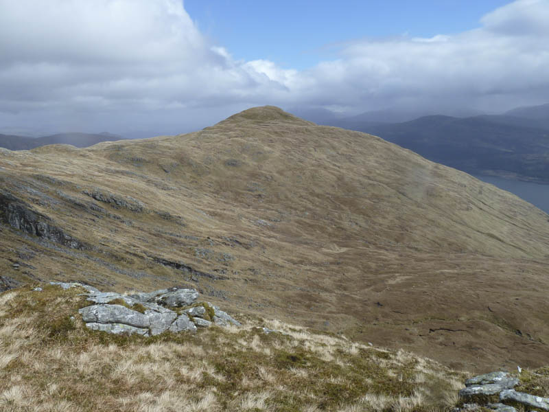
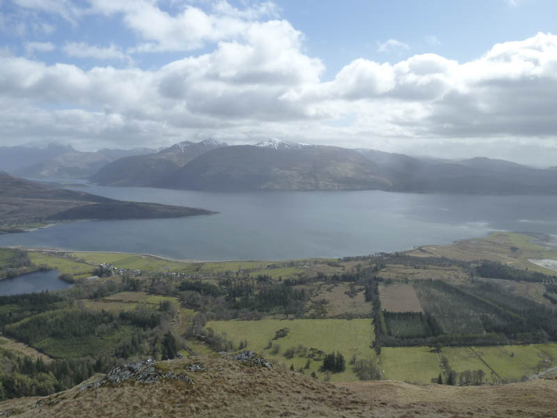
We then headed for the access track to the communications tower and from there walked along this track to Ardgour House then Clovullin to join the A861 west of Corran. We reached the ferry terminal five minutes before the 3.30pm ferry back to Nether Lochaber.
![Departing Corran](https://scotlandhills.net/wp-content/uploads/2021/02/16-Departing-Corran.jpg)
- Time taken – 6 hours.
- Distance – 13.5 kilometres.
- Height climbed – 905 metres.