It was a touch misty when I left my vehicle in the fairly large car park in the village of Cromdale on the A95 Grantown on Spey to Aberlour Road. We walked the short distance along the main road to the Haugh Hotel and immediately beyond it followed a minor road south-east out of the village. After a kilometre the road swung round to the north-east and here we came to signposts for Lethendry Farm.
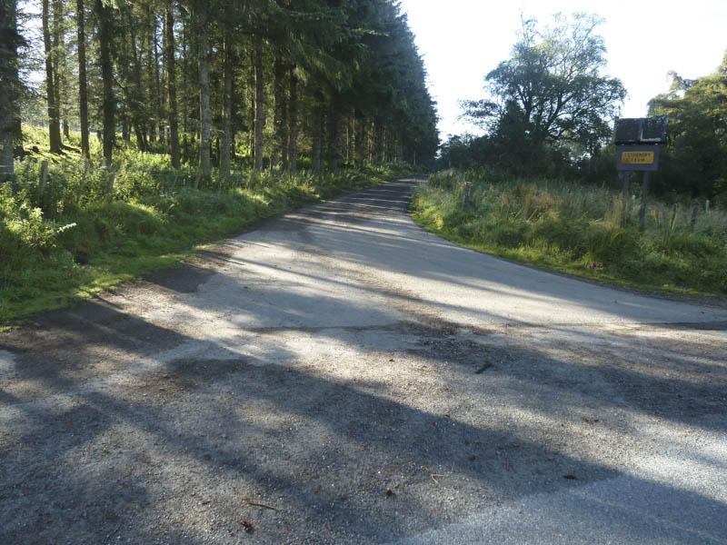
We continued along the route to the farm for around 70 metres then other signage indicated a left turn through a farmyard. Beyond, the vehicle track took us through some trees, across the Haughs of Cromdale and up the south-west side of Claggersnich Wood. The gradient was a bit steeper here and after passing through a third gate we reached the top end of the forest.
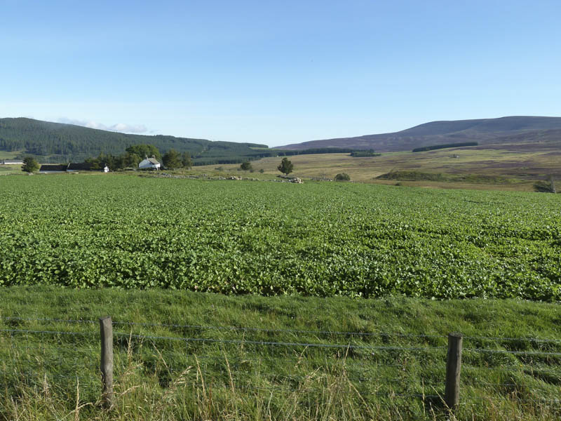
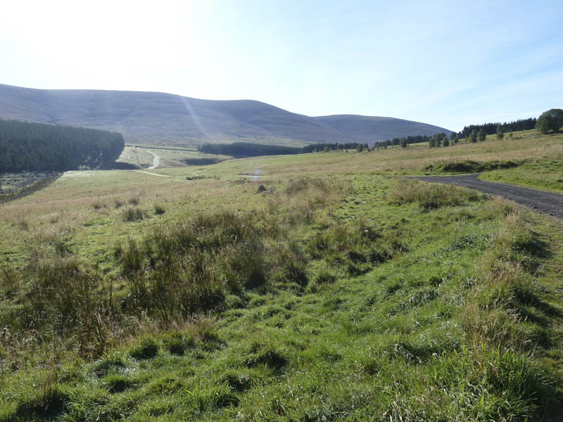
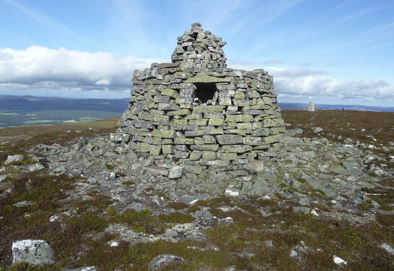
Here we left the vehicle track and walked through heather which due to years of muirburning was of various lengths. Higher up an obvious peaty path led to the Coronation Cairn where we had good views of the surrounding countryside.
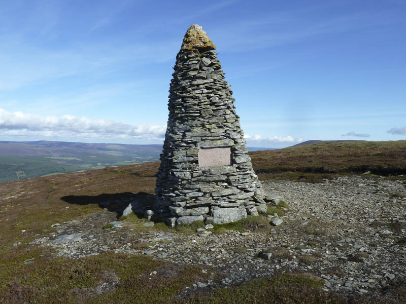
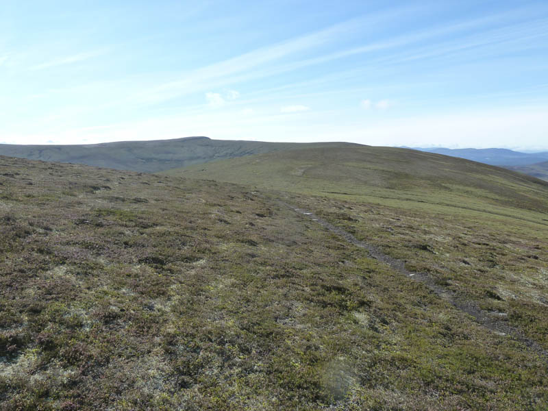
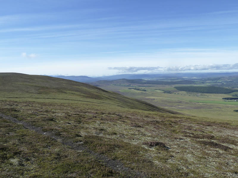
The path now wet and boggy in places as well as being churned up by quad vehicles headed south-west following the boundary between Moray and Highland Region. The path turned south and we later left it and the regional boundary to cross a short rocky section to reach the summit of the Graham, Creagan a’ Chaise, marked by a trig point and the Jubilee Cairn.
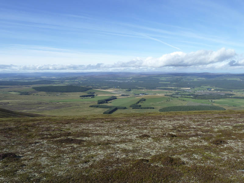
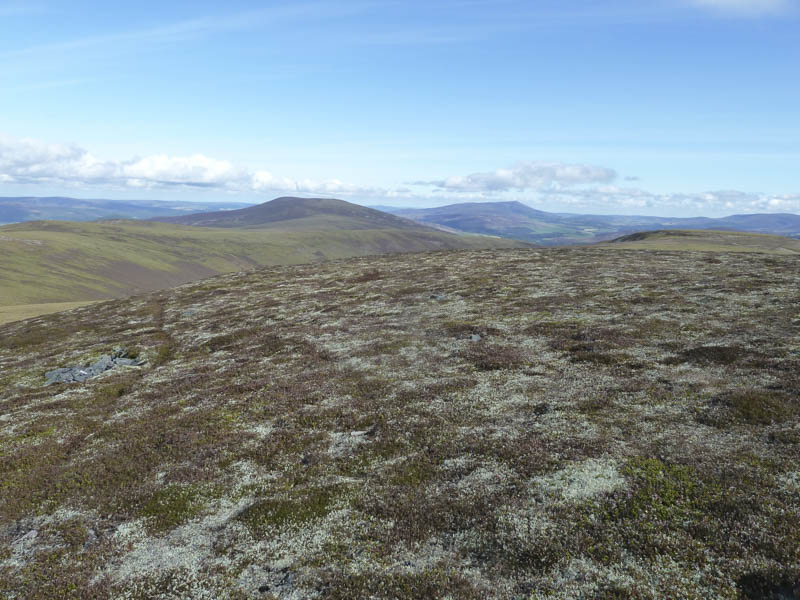
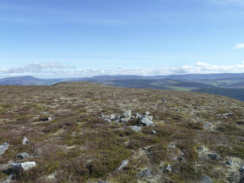
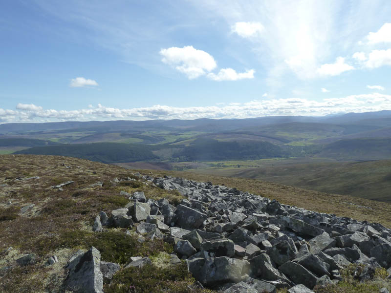
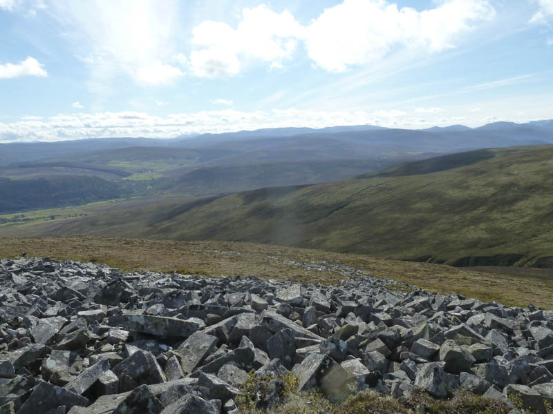
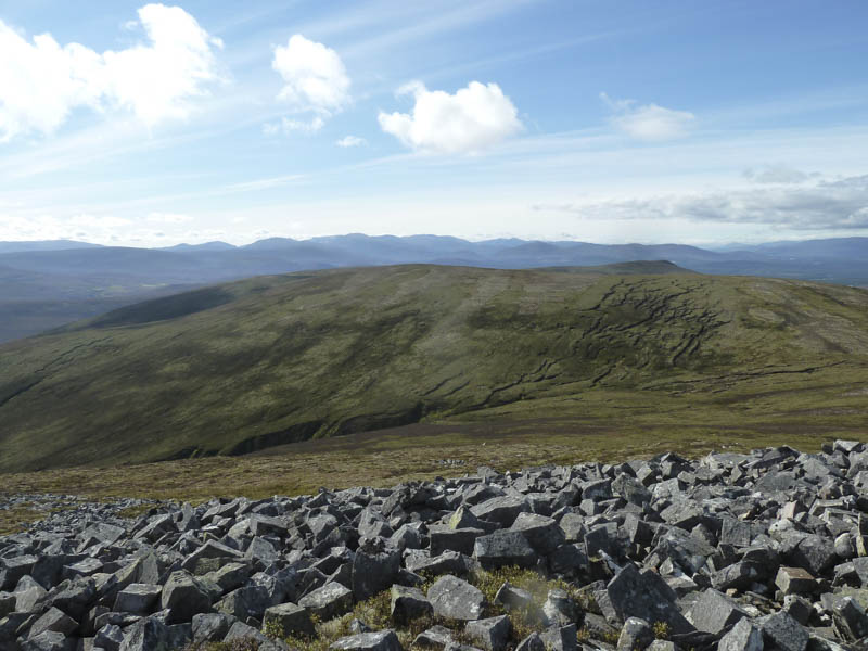
I left my walking partner here and descended to the col with Carn Tuairneir, crossed peat hags and soft boggy ground before ascending this Graham Top. The highest point was possibly the cairn but it was difficult to tell.
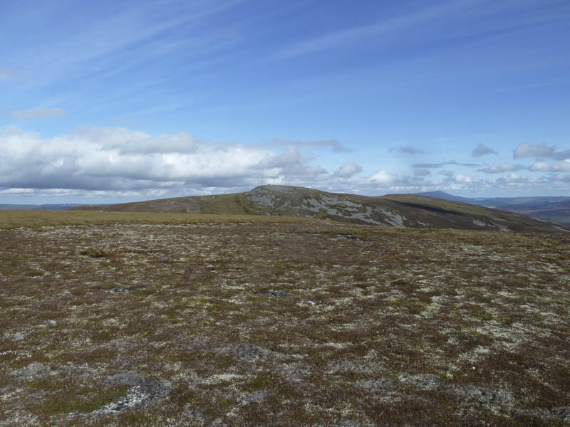
I then returned to the west of Creagan a’ Chaise where I rejoined my walking partner and headed back to Cromdale by the ascent route.
- Time taken – 5 hours.
- Distance – 17.25 kilometres.
- Height climbed – 670 metres.