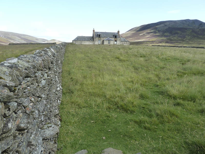
A friend was interested in climbing Cook’s Cairn which I had climbed earlier in the year. On that occasion I approached this Graham from Glen Fiddich to the north so on this visit I decided on a westerly approach. The starting point was the car park at Allanreid, at the end of the minor Tombae Road, reached from the B9008 Tomintoul to Dufftown Road. Here we met a chap trying to locate a local battle site.
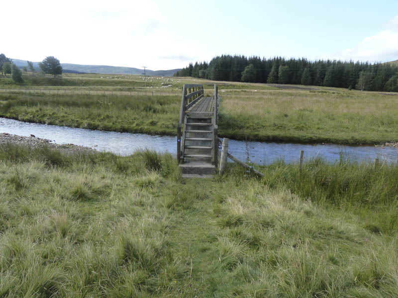
We set off on our bikes along the vehicle track on the east side of the River Livet. Prior to reaching a bridge over the river we left this vehicle track and continued along a grassy track then through a small plantation and a field where the route wasn’t so obvious. This led to the footbridge over the River Livet just west of a cottage.
A rather wet vehicle track ran along the south side of the river, the condition of the track later improved as it turned north-east. We were passed by a couple of mountain bikers heading for Glen Fiddich.
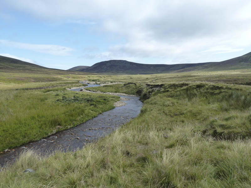
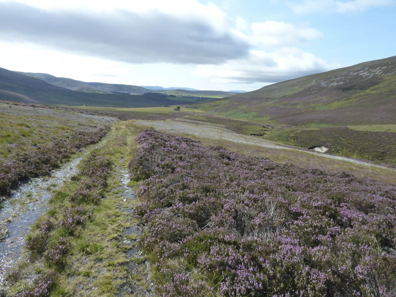
Beside the ford on the Kymah Burn we left our cycles and continued on foot north-east on the now rising track to beyond the ruins at Suie.
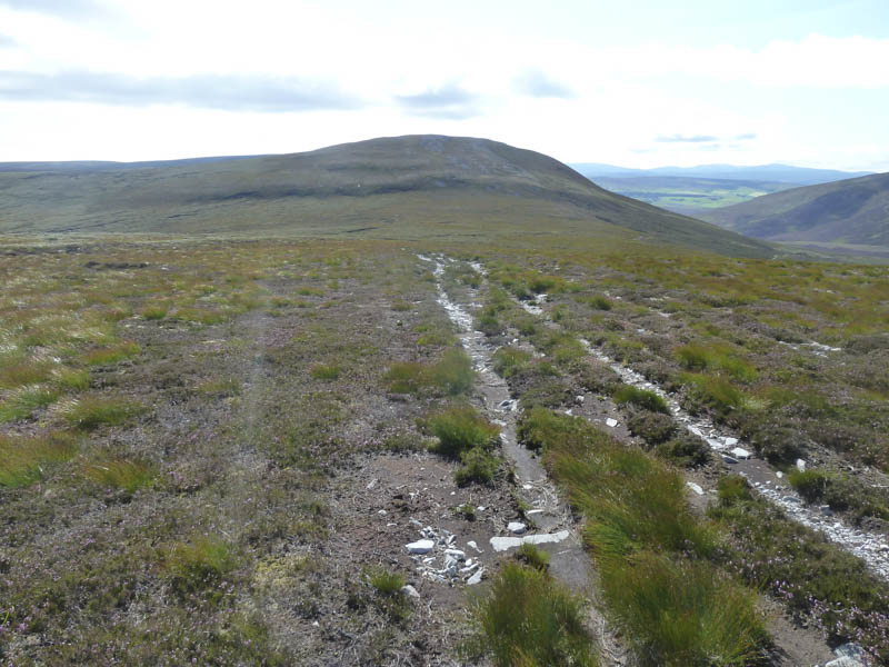
Here we left the Glen Suie track and made our way onto the Steplar Road, an old drove road that led to the Cabrach. The track was initially badly eroded and was more like a trench with water running down it but improved as height was gained.
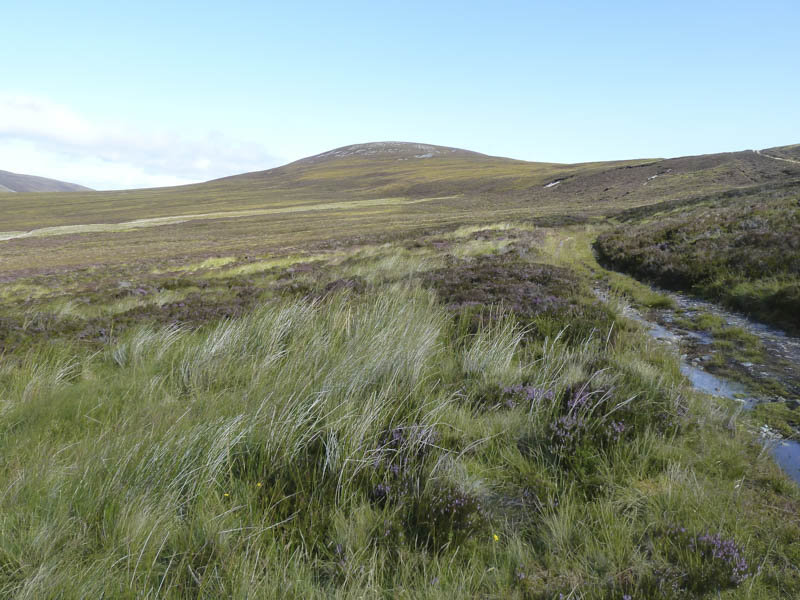
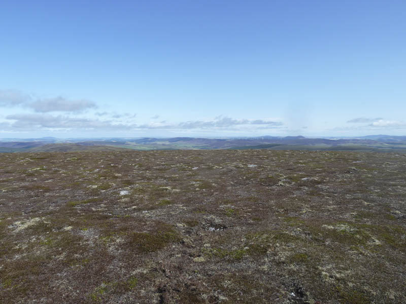
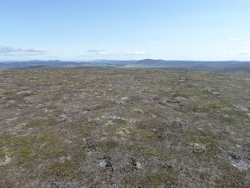
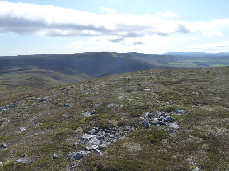
On reaching the col between Cook’s Cairn and Carn na Bruar we left the drove road and ascended to the cairn on Cook’s Cairn via stony vehicle track. Despite the strong wind we took a break here with views of Aberdeenshire, Moray and across the Moray Firth to Sutherland.
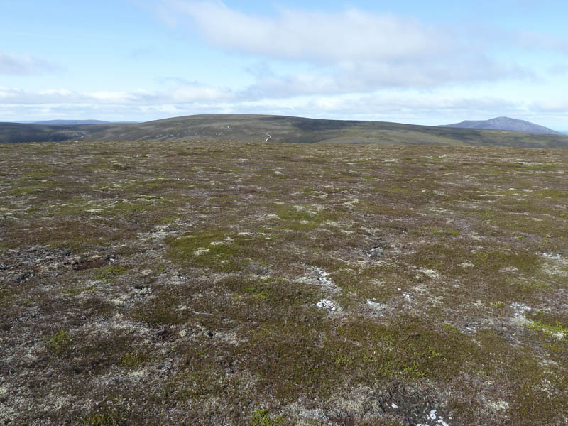
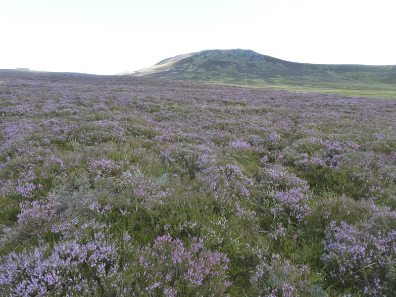
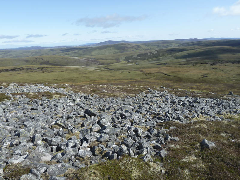
Afterwards we returned to the col with Carn na Bruar where my walking companion headed back to Allanreid while I commenced the ascent of the Hump and Graham Top, Carn na Bruar. This mainly involved climbing through heather of various lengths. The summit consisted of two cairns but after visiting both I couldn’t tell which was the highest.
I descended steeply south, avoiding the rocks then lower down the ground was boggy and tussocky, slowing progress.
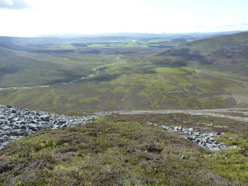
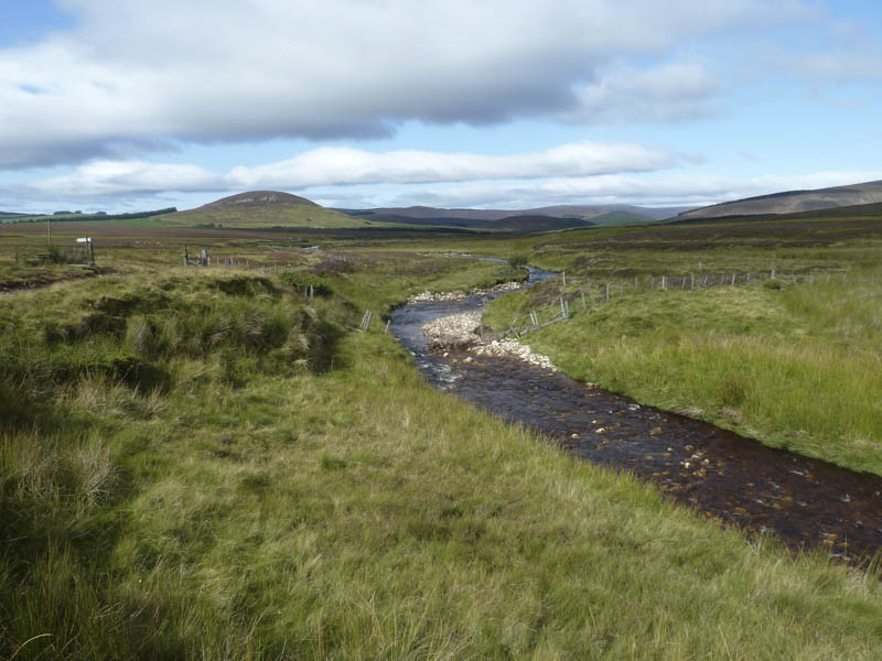
On reaching the Kymah Burn there was no evidence of the path shown on my map just a few animal trails. At the ruin at Knochkan I used the footbridge to cross the burn before continuing down its side south side to reclaim my bike and return to Allanreid by the approach route.
- Time taken – 5.5 hours.
- Distance – 20.25 kilometres.
- Height climbed – 610 metres.