It was late afternoon when I met a hill bagging friend in Tomintoul before making the short drive south to the car park at Delnabo. We then set off on the cycle south up Strath Avon, initially on a rough vehicle track, before joining the tarred road at Delavorar.
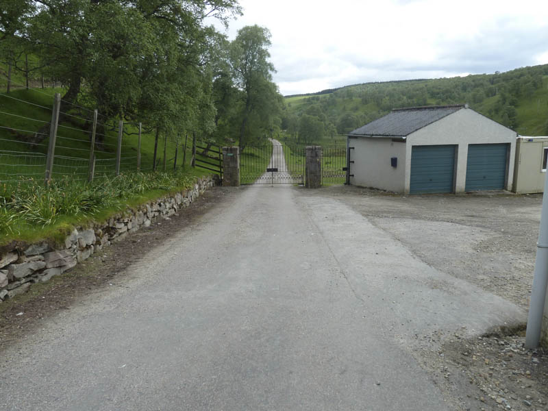
We passed through the gates at Birchfield then further south gave the bridge over the River Avon a miss as I had climbed Cnap Chaochan Aitinn by this route before.
We continued along the tarred road and at some of the undulations pushed the bikes. Near Dalestie we met a couple of cyclists the only folks we encountered on this trip.
Beyond this derelict and boarded up house the tarred road came to an end to be replaced by a hardcore surface with some loose stones. Eventually we reached Inchrory Lodge, which was unoccupied, then we followed the estate track west up Glen Avon on the south side of the River Avon.
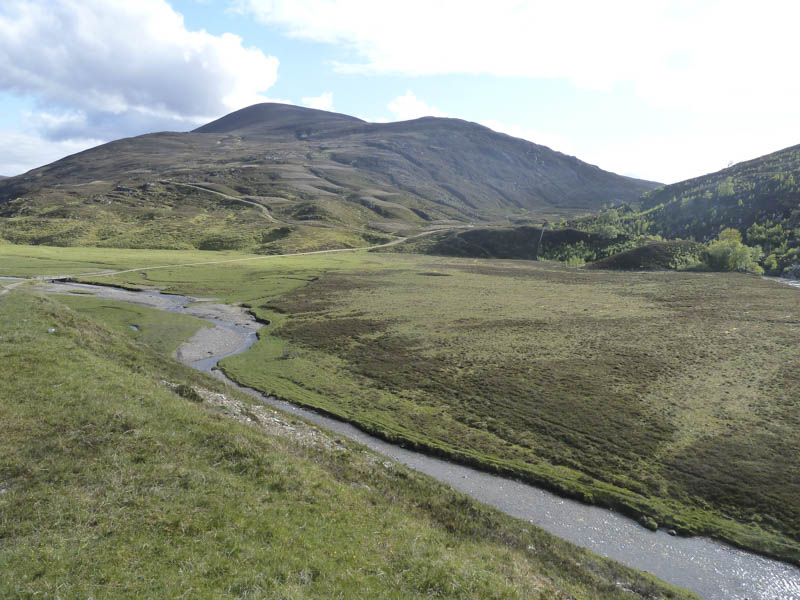
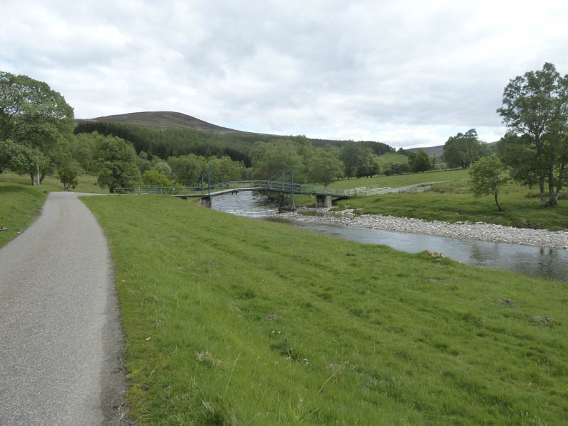
This track was rougher with some height gain before descending to the bridge over the River Avon at Inverloin.
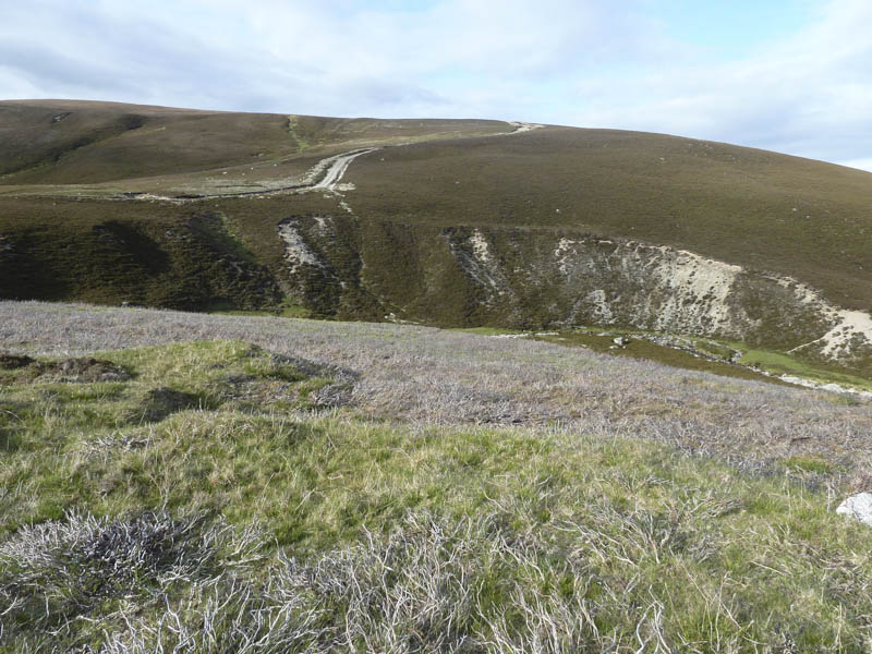
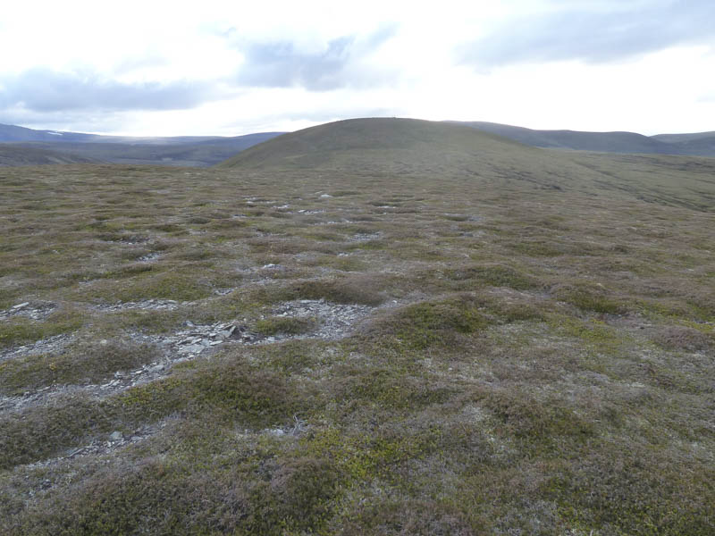
Here we abandoned the cycles and set off on foot for Cnap Chaochan Aitinn initially on the vehicle track up Glen Loin which crossed the Burn of Loin. Afterwards we left the Glen Loin track and accessed another vehicle track that took us onto Drum Loin. I briefly diverted from this track to visit the highest point of this Sub Simm, which was unmarked.
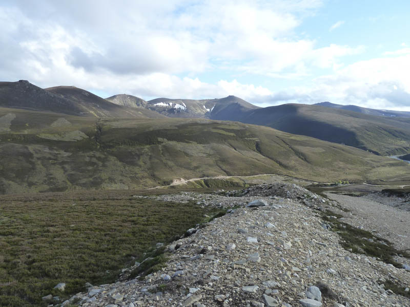
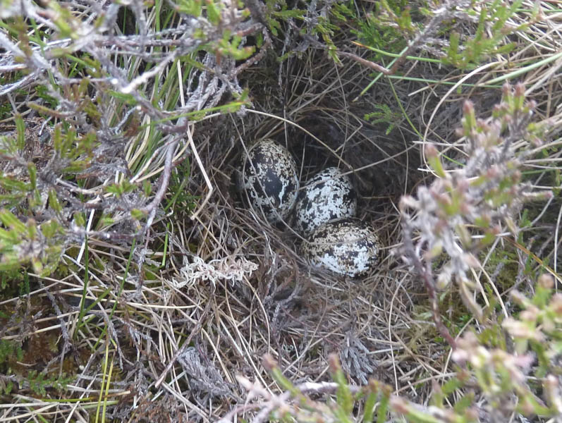
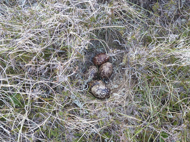
The vehicle track later came to an end then we crossed a mixture of soft vegetation and heather. On approaching Cnap Eas Chaorach golden plovers were obviously upset by our presence especially when my walking partner came across a nest containing three eggs.
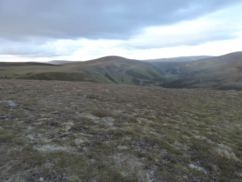
The summit of the Sub Simm, Cnap Eas Chaorach, was reached marked by a few stones, then it was a short descent to the peaty col with Cnap Chaochan Aitinn.
Once over the boggy col we climbed to the summit of this Graham where a cairn marked its highest point. Close by there was a mast and steel cabin as well as some old pieces of equipment lying around.
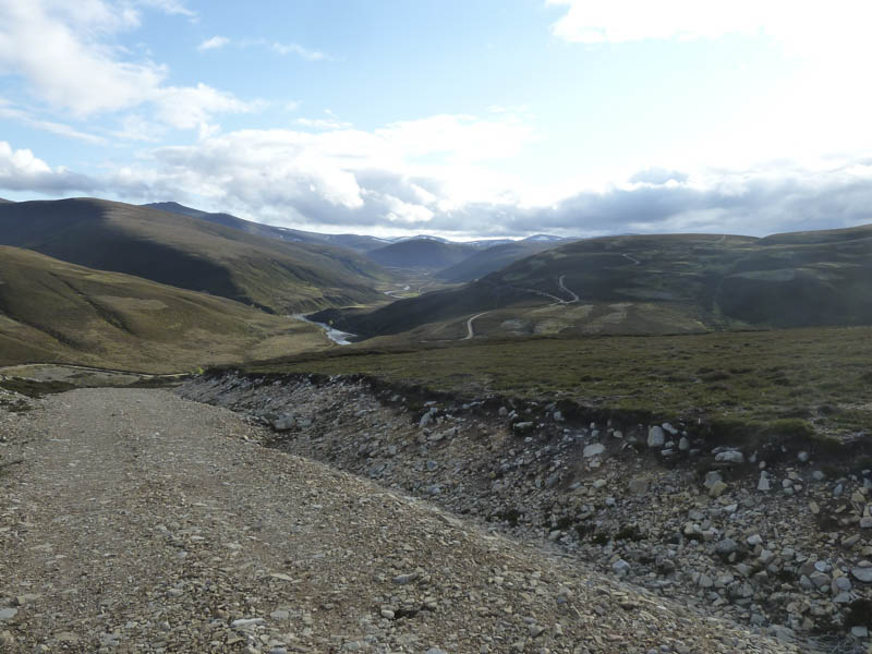
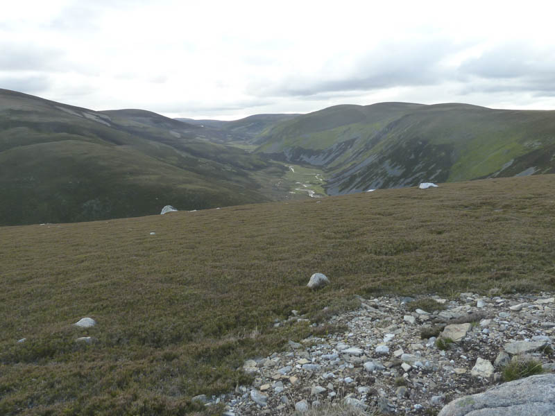
On the descent north-west we located the vehicle track that descended into Glen Loin. Here we parted company, my walking companion dropping into the glen to commence the return journey home. I continued north-west descending to the rather damp col with Carn na Ruabraich where I disturbed a number of grouse and their chicks. Some of the youngsters were running about and a few trying to fly. Beyond, some old fence posts and a cairn were passed to reach the summit of this Graham Top which was unmarked.
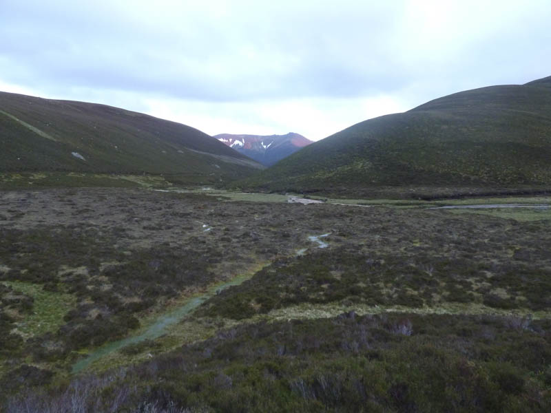
My descent south took me across some boggy and peaty ground before the gradient increased as I walked through the heather and dropped into Glen Loin disturbing a herd of deer. It was then a long but pleasant walk down the glen, little used by walkers, where I encountered a short rain shower. Later the sun set on the higher reaches of Ben Avon which was lit up red.
On reaching Inverloin I collected my bike and returned down Glen and Strath Avon although it never got particularly dark.
- Time taken – 6.75 hours.
- Distance – 43.25 kilometres.
- Height climbed – 1230 metres.