The plan was for a second ascent of the Graham, Beinn Tharsuinn. I left my car at the end of the public road at the junction of the tracks for Glen Calvie and Alladale Lodge, reached from the A836 at Ardgay along the single track road through Strathcarron.
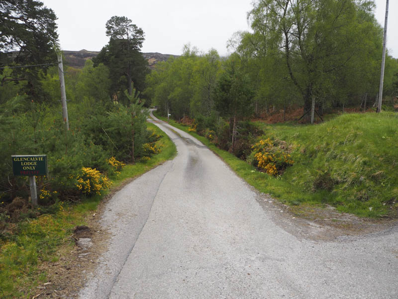
I walked down to then passed through the buildings at Glencalvie Lodge before heading south along Glen Calvie on an estate road which was in good condition.
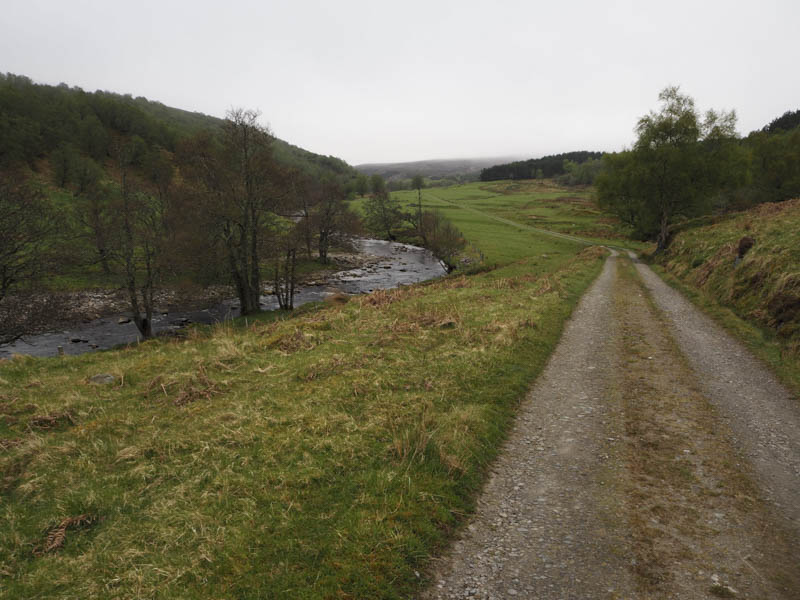
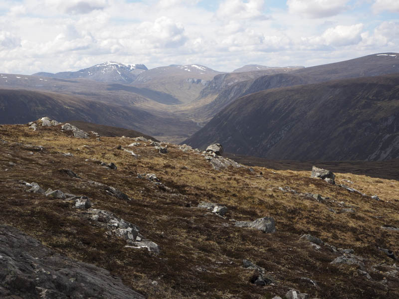
Over 3.5 kilometres later I came to the wooden footbridge across the Diebidale River, located to the north of Diebidale Lodge.
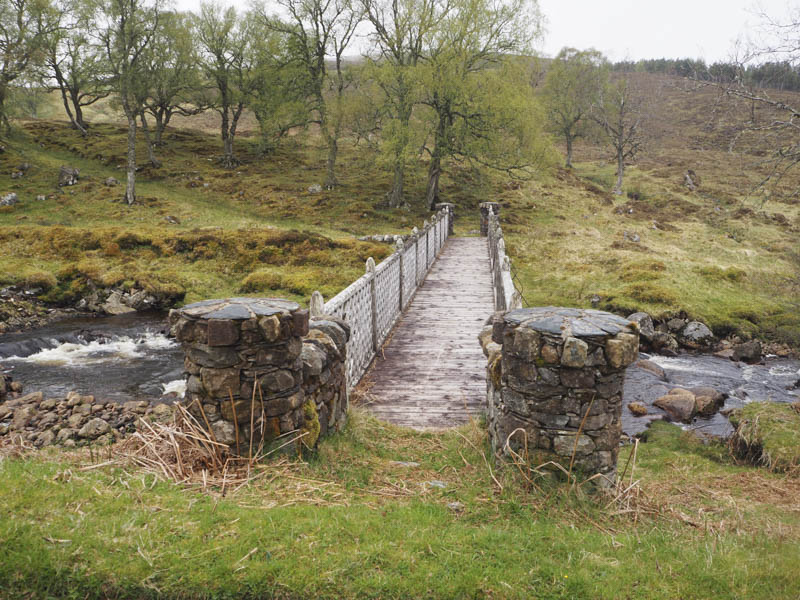
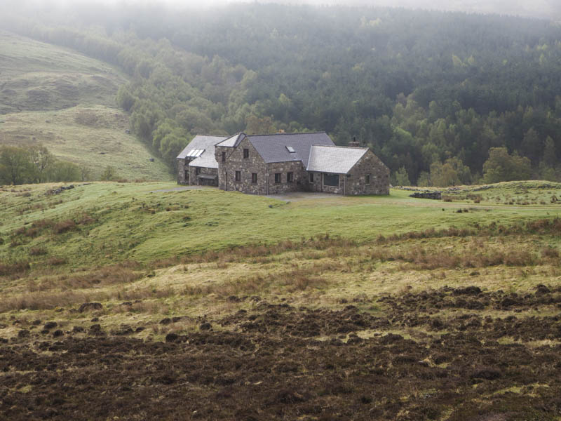
Once on the other side of the river I climbed west through heather and wet ground avoiding the Lodge which appeared unoccupied.
On crossing a vehicle track I came across an ATV track and in places an old stalkers path and these took me onto Diebidale Ridge. The ATV tracks diverted round the peat hags but I remained on the ridge rejoining the tracks further west.
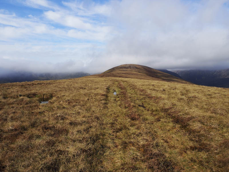
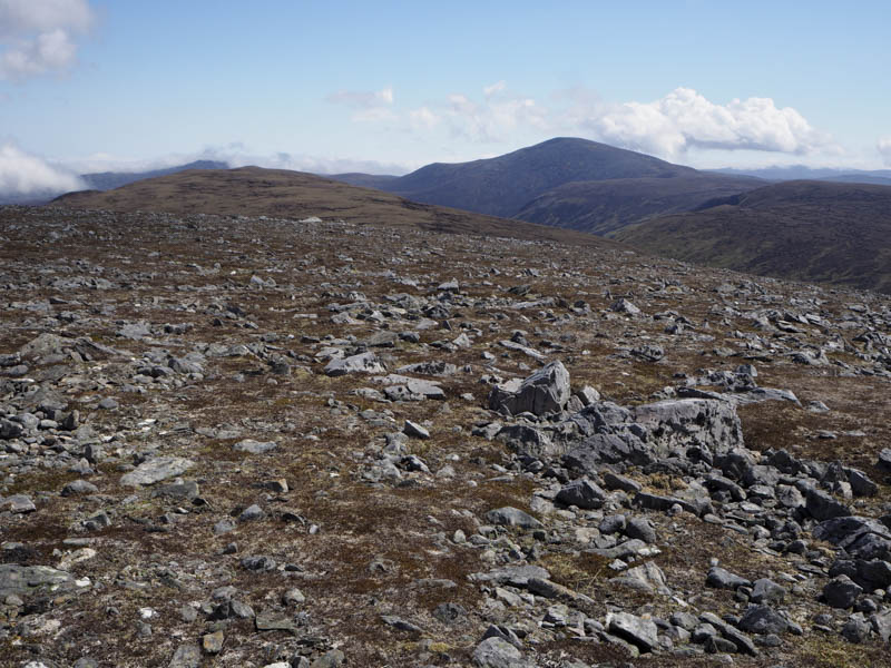
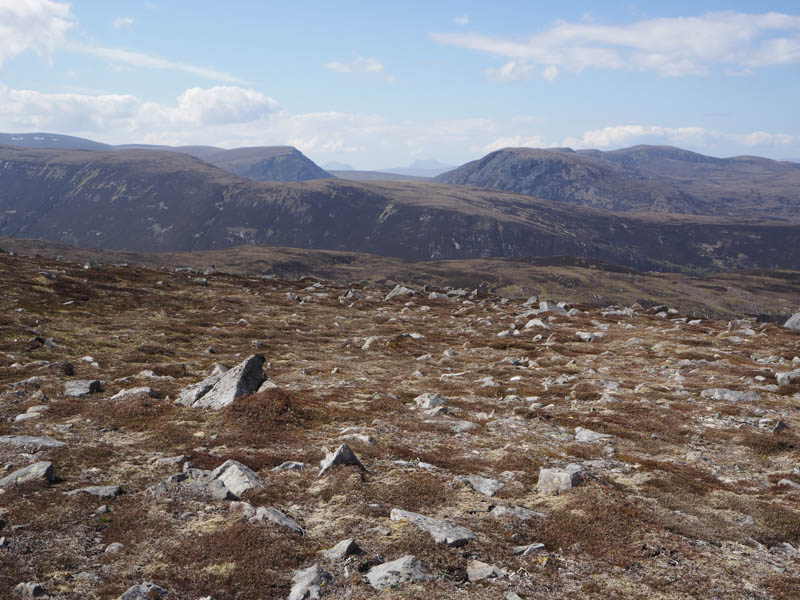
The earlier cloud was lifting as I continued along the ridge to reach the Hump and Graham Top, Leaba Bhruic, (Diebidale Ridge) the summit marked by a cairn.
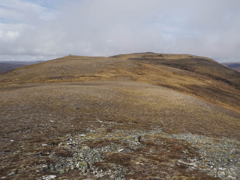
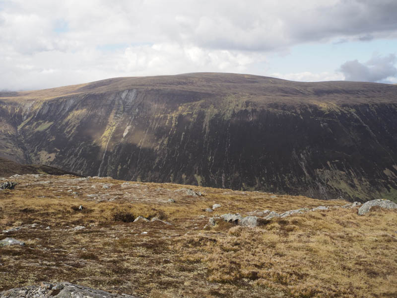
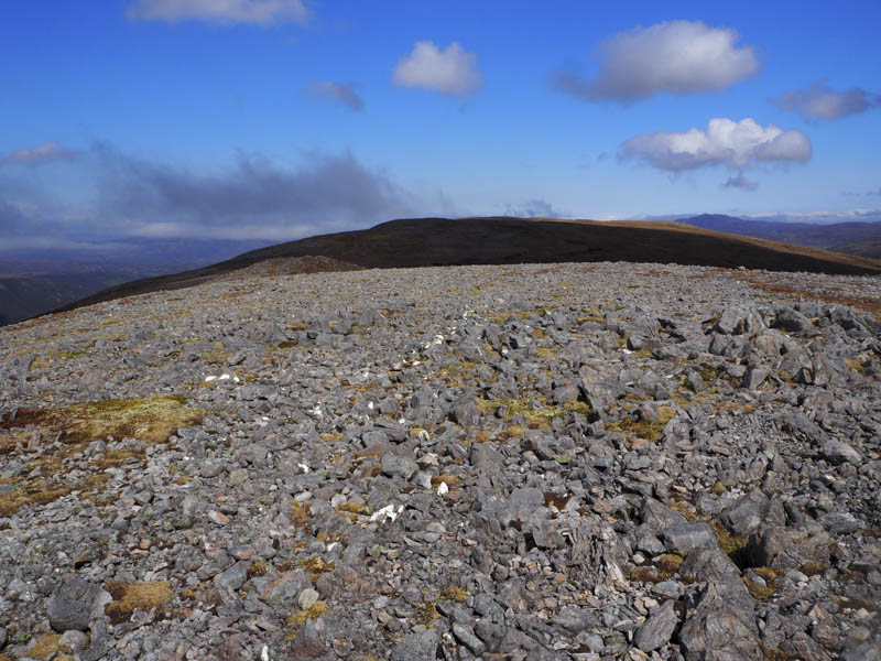
After a break here sheltering from the breeze I descended west, initially fairly easily, then lower down I encountered a number of peat hags, some being dry enough to use to reach the col with Beinn Tharsuinn. It was then a steady pull, avoiding the crags, to reach the cairn marking the summit of this Graham, although a rock within two metres was higher.
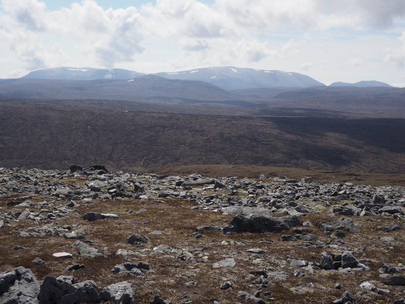
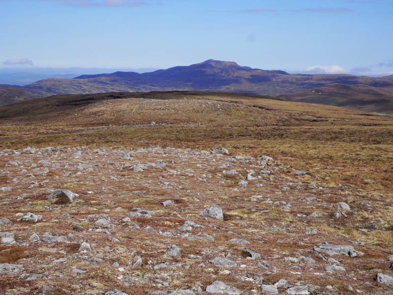
The next couple of hills weren’t originally in my plan but I had made reasonable progress and the weather was improving so I descended Beinn Tharsuinn’s South-West Ridge, passed through more peat hags, and worked my way round the south side of Crom Loch. I then gradually gained height as I climbed north-west through rough vegetation and peat hags onto the south side of the Graham Top, Carn Crom-loch. Here I visited both Tops, although the northerly one appeared highest.
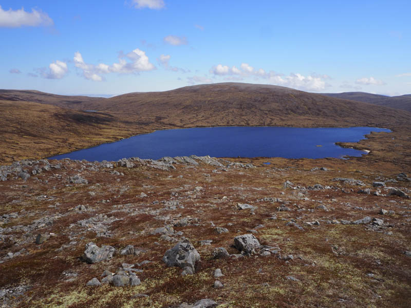
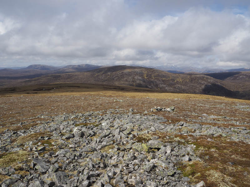
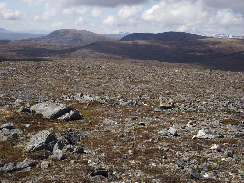
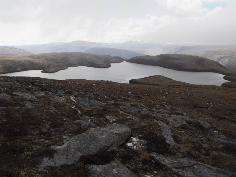
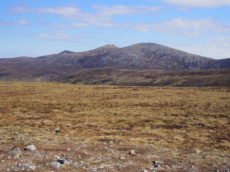
From there I descended through heather to the outflow from Crom Loch then climbed north towards Lochan Sgeireach. Here the terrain was rather undulating but eventually I crossed its outflow and ascended to the outcrop marking the highest point of the Graham Top, Carn Lochain Sgeireich, where I took another break.
It was then an easy descent round the north side of Lochan Sgeireach before climbing to the summit of the Hump and Graham Top, Carn Feur-lochain.
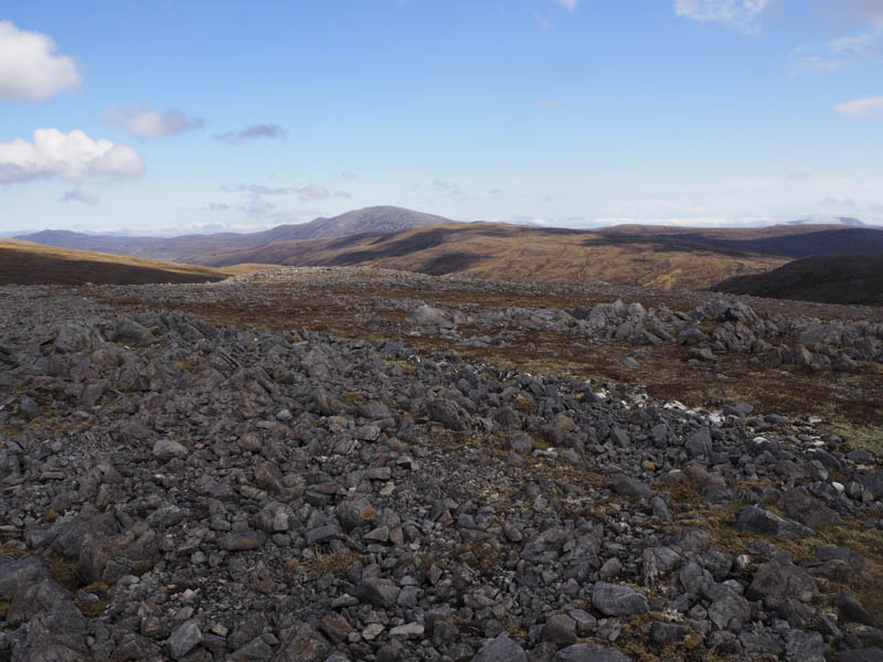
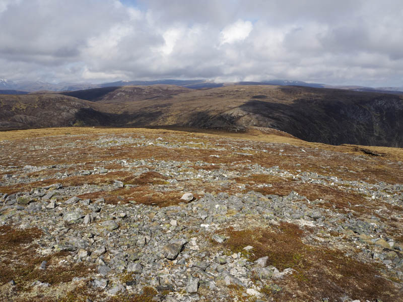
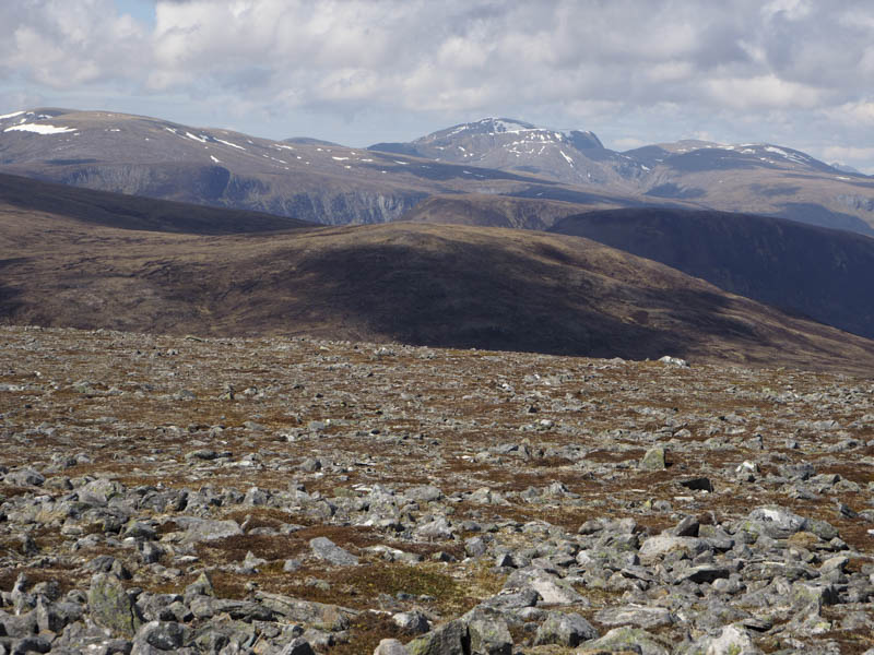
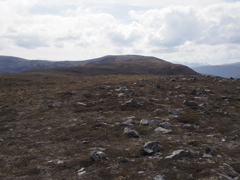
A short descent north-east was followed by an easy climb onto the summit of the Graham Top, Dunan Liath.
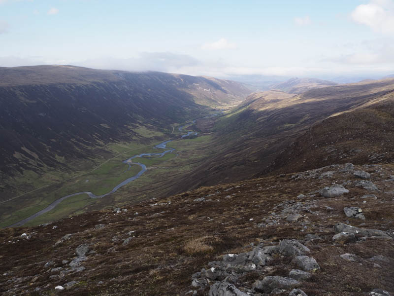
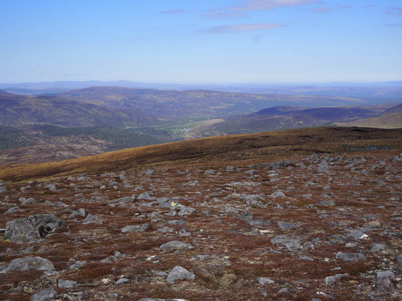
It was now time to head back to Glen Calvie. A long gradual descent north-east across mainly stony ground then later some heather led to Dunach Liath.
I looked at the possibility of descending north-east to shorten the return route but with only trees and rough ground visible I decided against that idea.
Instead I descended east then south through heather and some wet ground to the vehicle track on the north side of the Abhainn Coire a’ Mhalagain. A newish bridge was crossed then the vehicle track rose fairly steeply to the south of the woods north of Diebidale Lodge. Beyond the trees I descended through heather then some wet ground to the footbridge over the Diebidale River used earlier in the day before walking back down Glen Calvie to my car.
- Time taken – 9.75 hours.
- Distance – 29.75 kilometres.
- Height climbed – 1285 metres.