I obtained permission to leave my car in the Torridon Inn car park, at the west side of the A896 Torridon to Shieldaig Road, south of the village. We then walked through the grounds of the Torridon Inn following the sign-posted path for Beinn Damh. This took us across the A896 then it was a steady climb though rhododendron bushes and pine trees on the west side of the Allt Coire Roill.
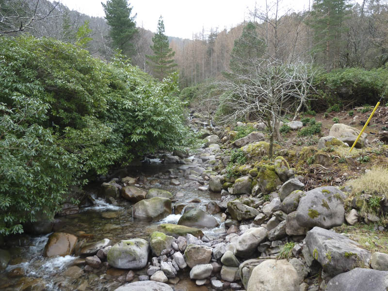
Above the tree line the path split, right was for Beinn Damh and left was for Coire Roill. We took the left fork and soon came to the Allt Coire Roill which ran through a narrow steep gully. A suitable crossing point was found upstream.
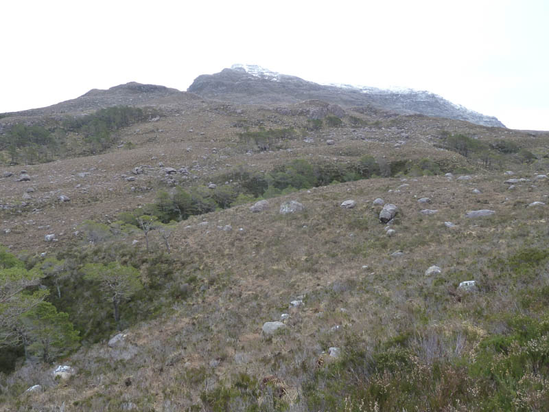
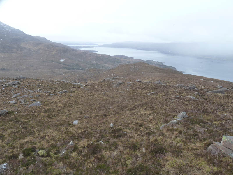
The path gradually gained some height before we left it and walked through rough vegetation and heathery gullies to reach Creag nan Dearcag.
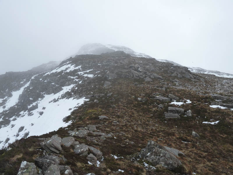
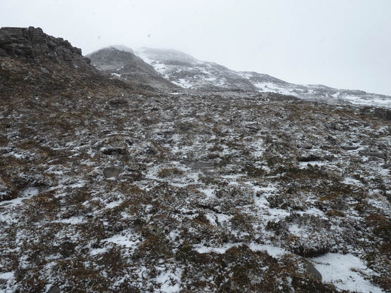
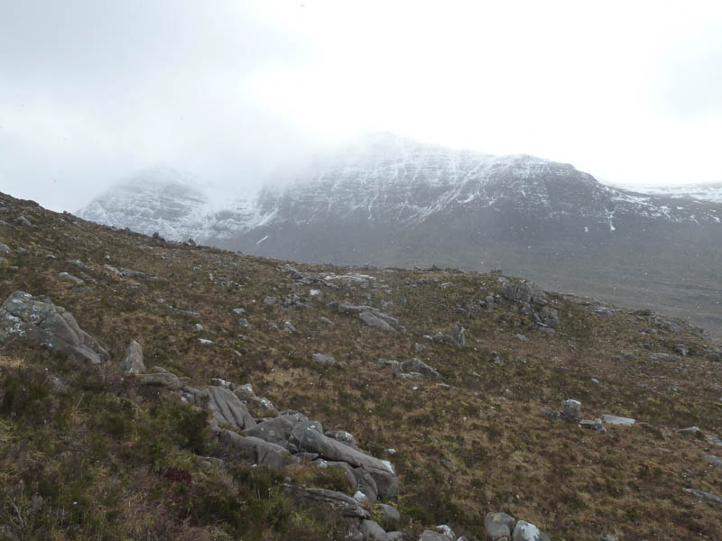
The snow flurries had turned into light snow with some snow and ice patches covering the ground on Beinn na h-Eaglaise’s North-West Ridge.
We eventually reached a small cairn and a bit further south-east a higher and larger cairn, the summit of this Graham.
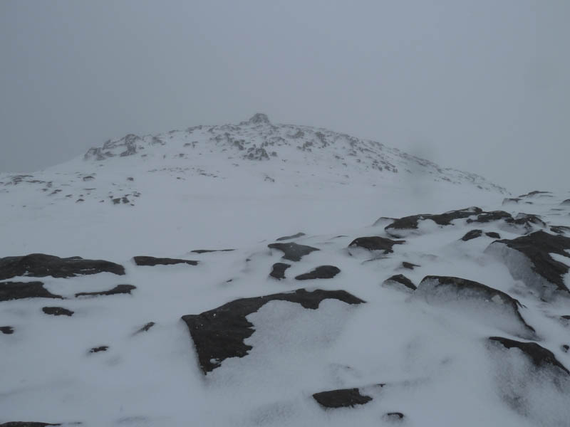
Visibility was impaired due to the light snow so we returned by the upward route.
- Time taken – 5.25 hours.
- Distance – 9 kilometres.
- Height climbed – 815 metres.