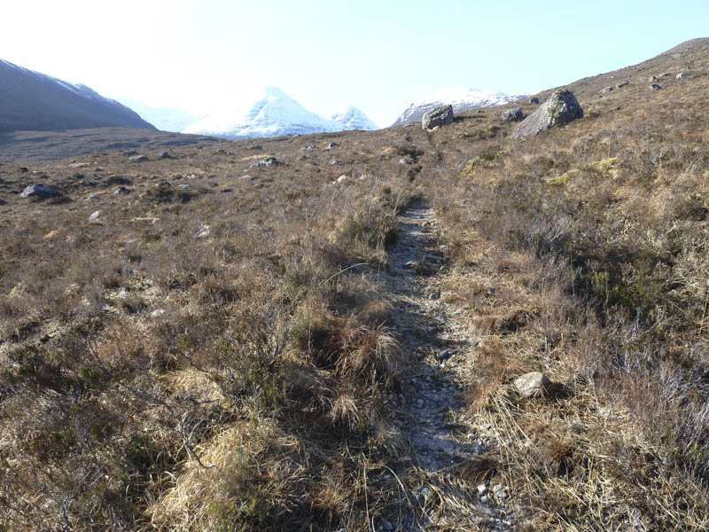
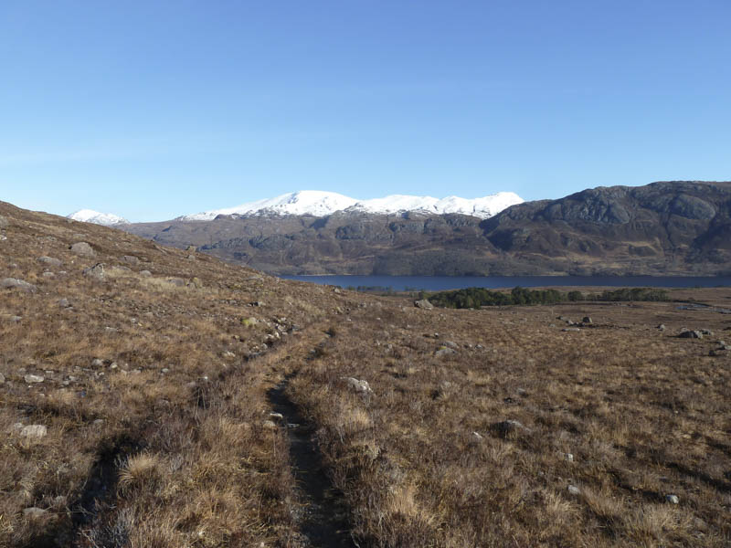
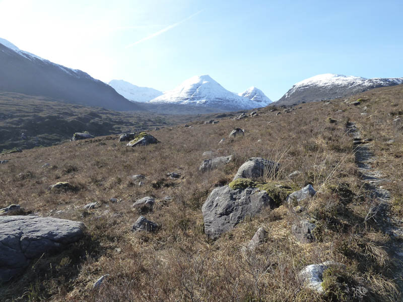
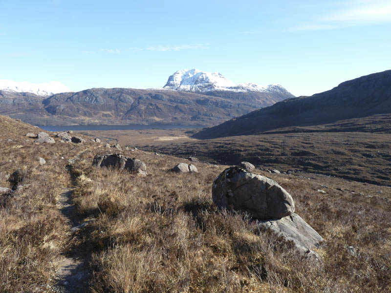
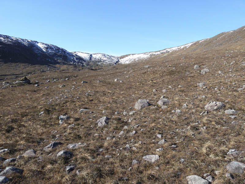
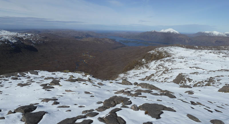
I left my car on an old section of the A832 Kinlochewe to Gairloch Road at the entrance to Glen Grudie. Due to the construction of a hydro dam further up the glen temporary signs indicated the route round the cottage and onto the path west of the River Grudie. In sections the path was overgrown with heather and also a bit muddy in places. Height was gradually gained with good views of Beinn Eighe and back across Loch Maree to Slioch.
Opposite Coire Briste a small cairn marked the start of the path, not marked on my map, which took us up north side of the corrie.
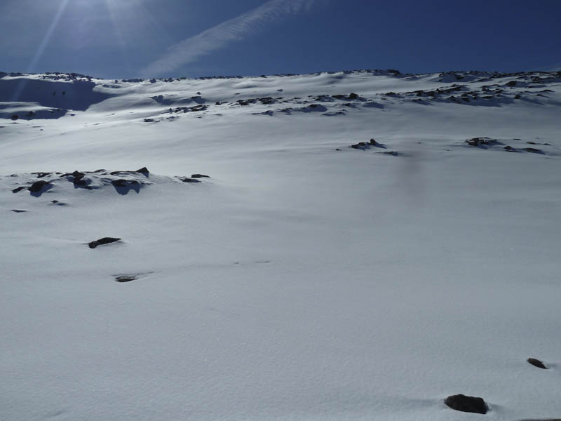
The path was rough, wet, muddy then higher up icy and at the head of the corrie covered in snow. We then crossed through some deep soft snow to a small rocky cliff which was a bit tricky to negotiate.
Some rough, rocky and snow covered terrain was crossed, avoiding the steeper slopes, and passing a lochan.
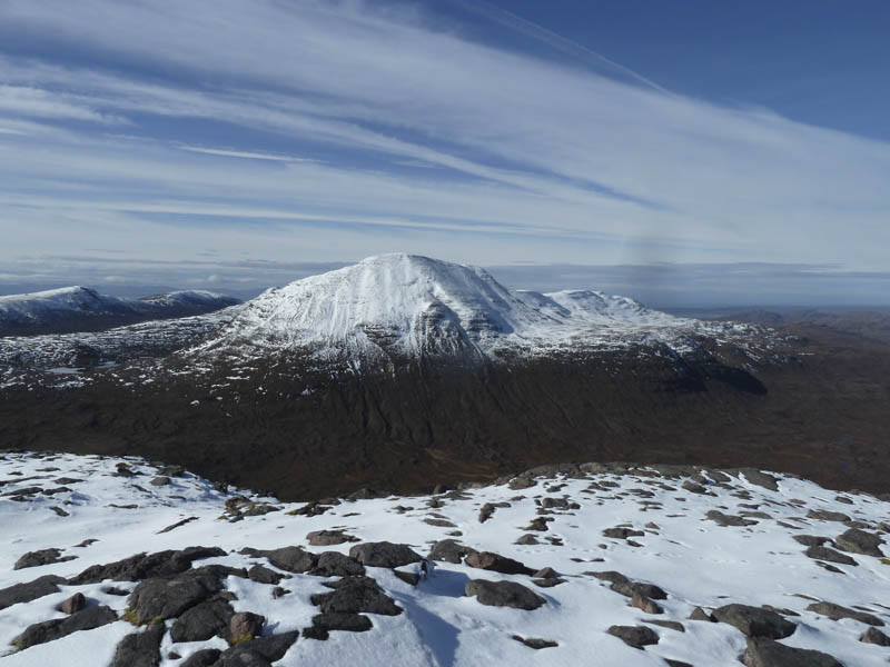
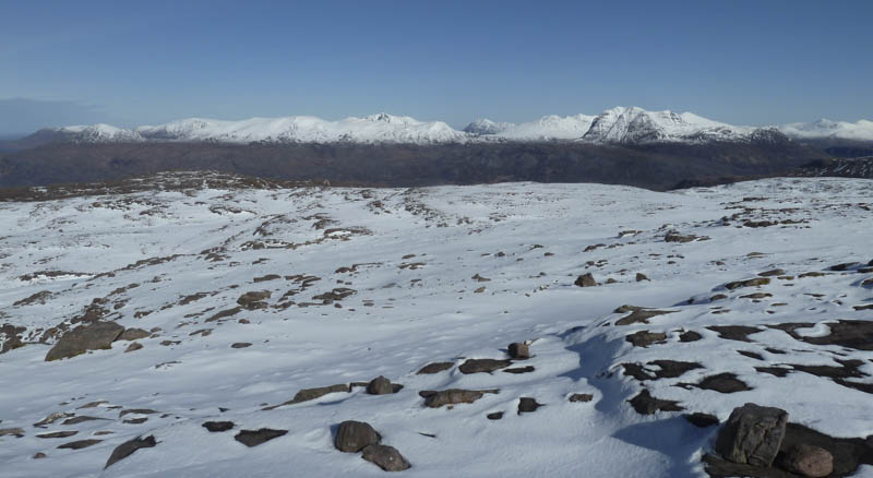
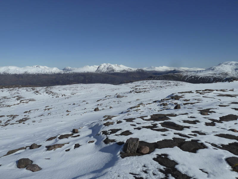
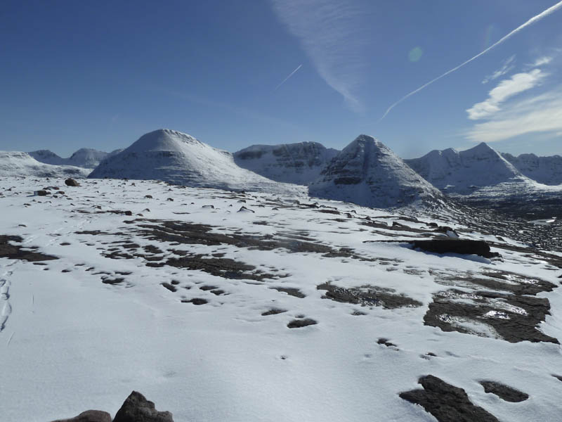
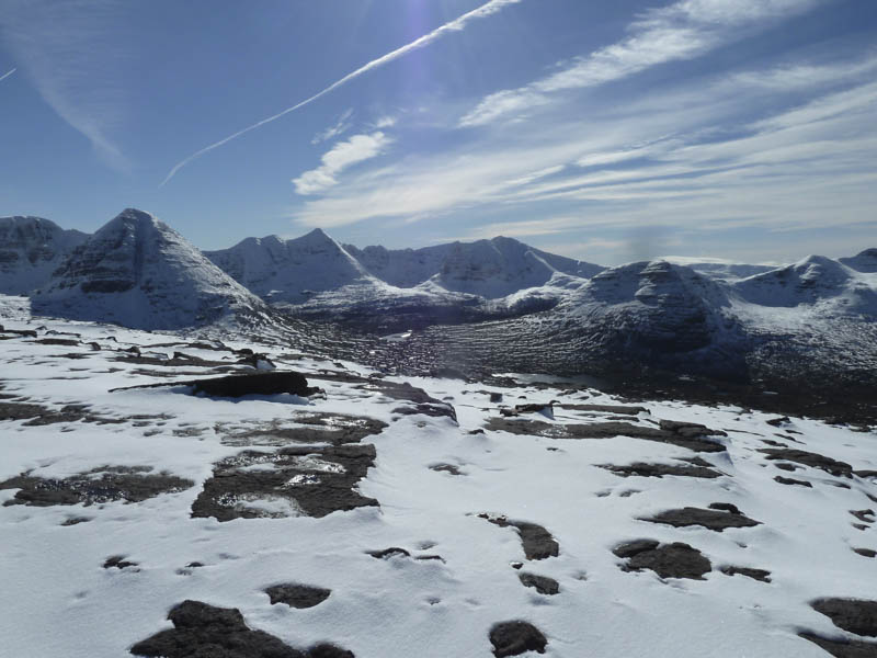
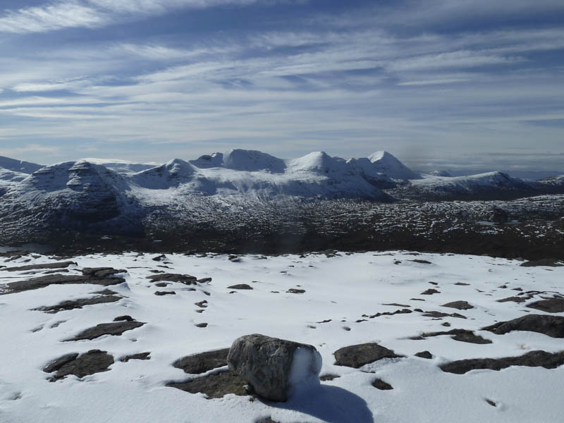
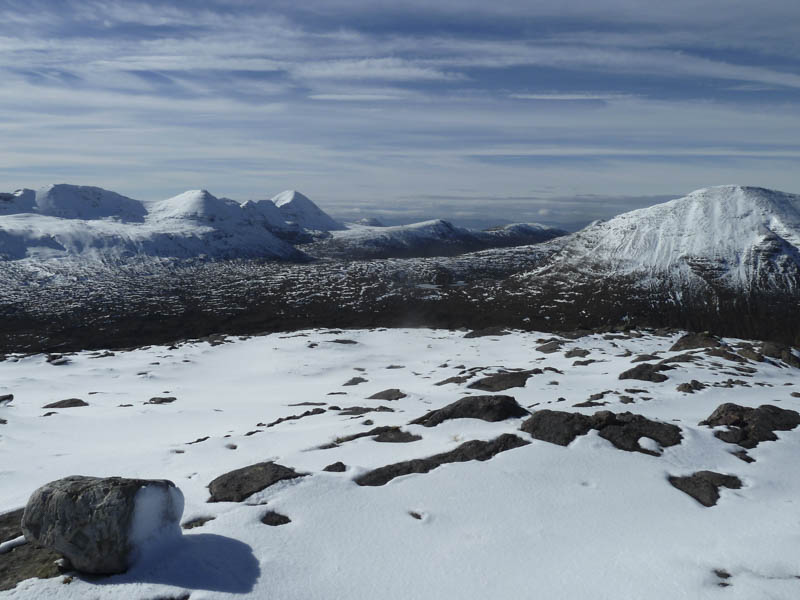
The cold wind was creating some spindrift as we reached and crossed Beinn a’ Chearcaill’s plateau to a cairn then a few stones on a large slab of rock which was probably the highest point of this Graham. There were some grand views of the Torridon Mountains but with the windy conditions we didn’t linger as long as would have liked.
We retraced the route following our boot prints, some of which had disappeared in the blowing snow. At the head of the corrie we found a slightly easier route through the cliff before returning to the start by the approach route.
- Time taken – 6 hours.
- Distance – 12.75 kilometres.
- Height climbed – 725 metres.