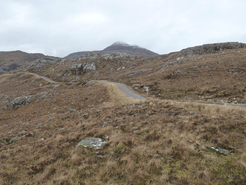
I left my car in the small parking area on the minor Torridon to Diabaig Road north of the Bealach na Gaoithe, (grid reference NG824/592) and crossed the road to reach a path on the opposite side.
It was short lived, probably used by tourists to reach a nearby rock with views of the surrounding sea and mountains.
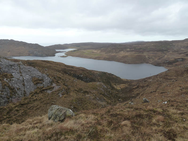
We then worked our way through a jumble of rocks, heather and bog disturbing a few deer to reach Loch nan Tri-eileanna, passing it to the south.
More rocks and rough vegetation were crossed and led to the crossing of a small stream where we spotted a large herd of deer.
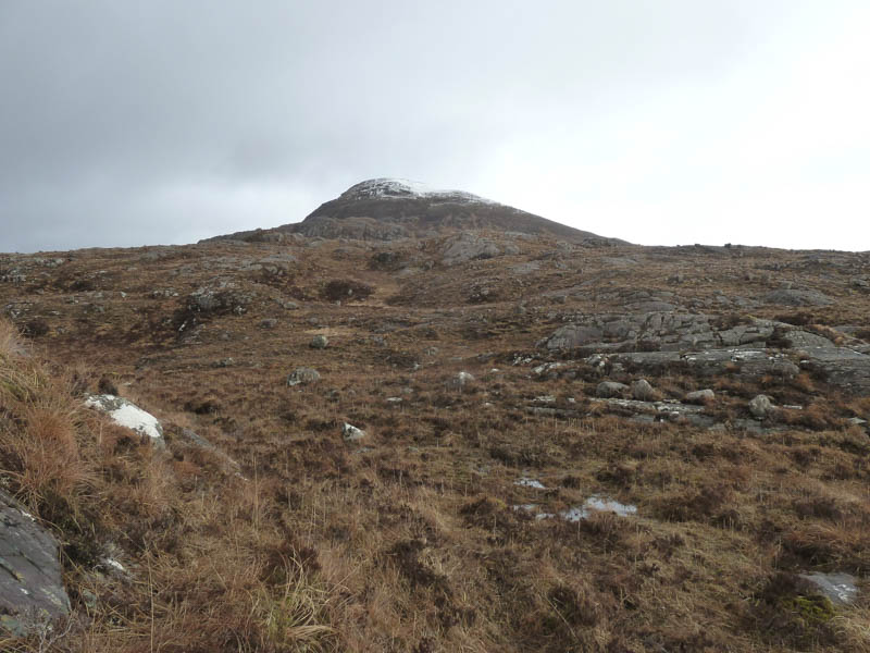
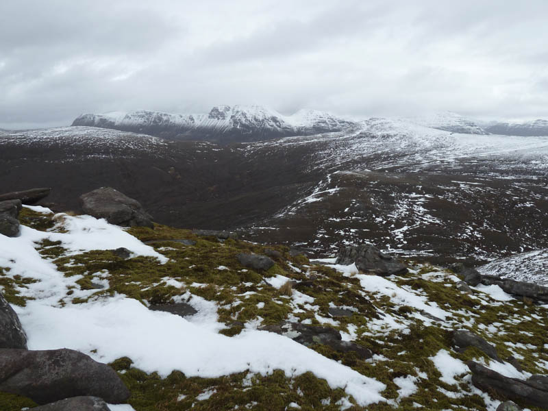
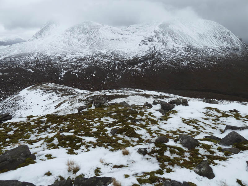
Progress was now easier as we headed up the south side of the stream to below An Ruadh-mheallan. From there it was a steady climb, latterly through some soft snow, onto the icy summit area where we visited a large boulder and the cairn although the former appeared the highest point of this Graham.
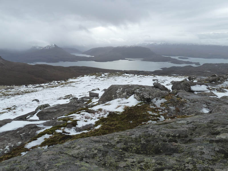
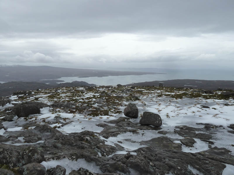
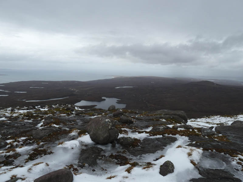
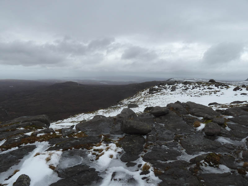
There was a cold wind here so after taking a few photos we returned by the upward route.
- Time taken – 3.75 hours.
- Distance – 6.75 kilometres.
- Height climbed – 475 metres.