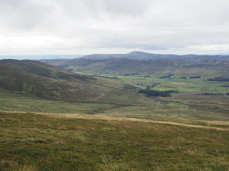
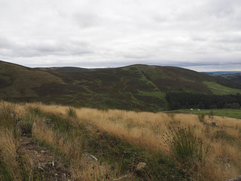
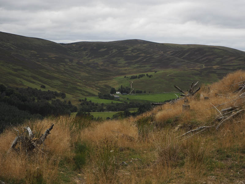
White Hill – I left my car on the north side of the B955 in Glen Clova, Angus, north-west of Rottal, passed through a couple of gates and commenced the approach to the Corbett Top, White Hill.
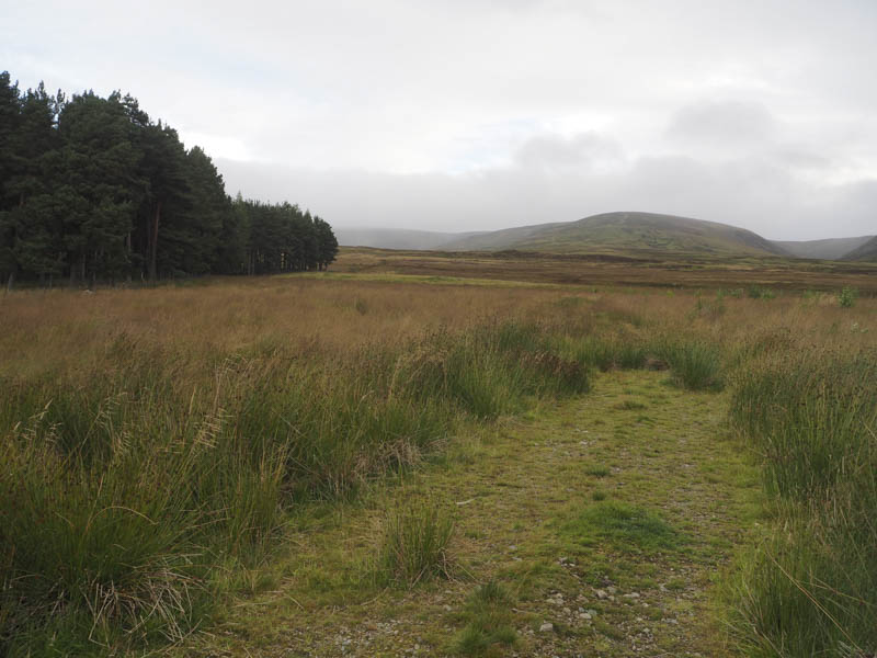
The walk north along a vehicle track to the east of a copse of trees led to a third gate. Beyond it the track disappeared amongst the long vegetation and reeds which concealed some pools of water. Further on there were some old tree stumps as the small woodland shown on the map had been harvested.
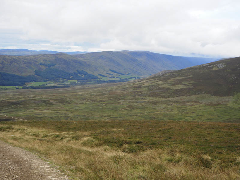
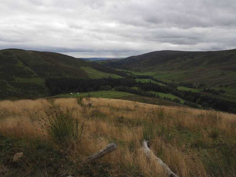
Eventually I reached the vehicle track on the west side of the Burn of Heughs and after utilising it for a couple hundred metres I came to a junction of tracks where I crossed the stream via a recently constructed footbridge. Here there was a shooters hut with a balcony.
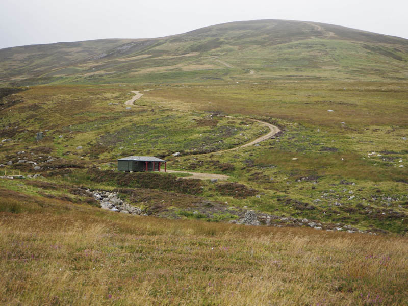
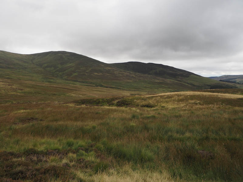
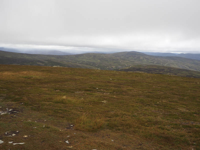
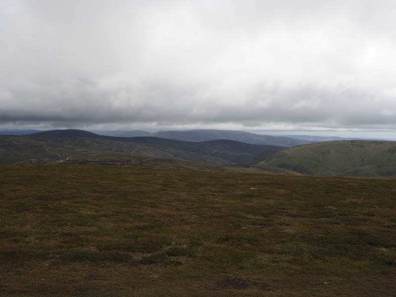
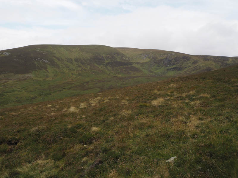
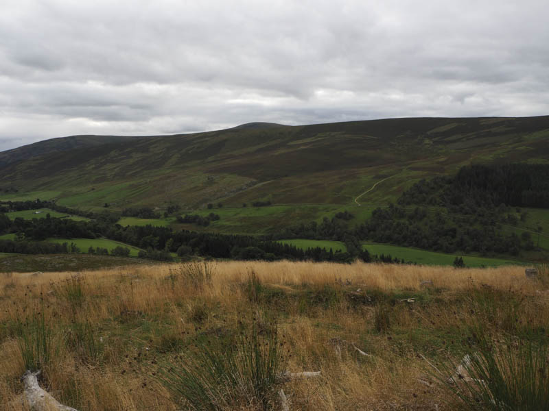
A vehicle track, in good condition, then headed up the south-west ridge of White Hill. It was a steady climb and higher up passed through some old peat hags. A cairn was reached but this wasn’t the actual highest point, it was some heather. A nearby knoll was apparently the same height although neither was obvious.
I then walked over to a larger cairn situated beside a double electric fence and took shelter from a fairly strong wind, a lot stronger than forecasted, and it was rather chilly.
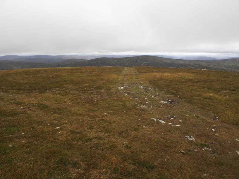
After a break for coffee I returned by the upward route.
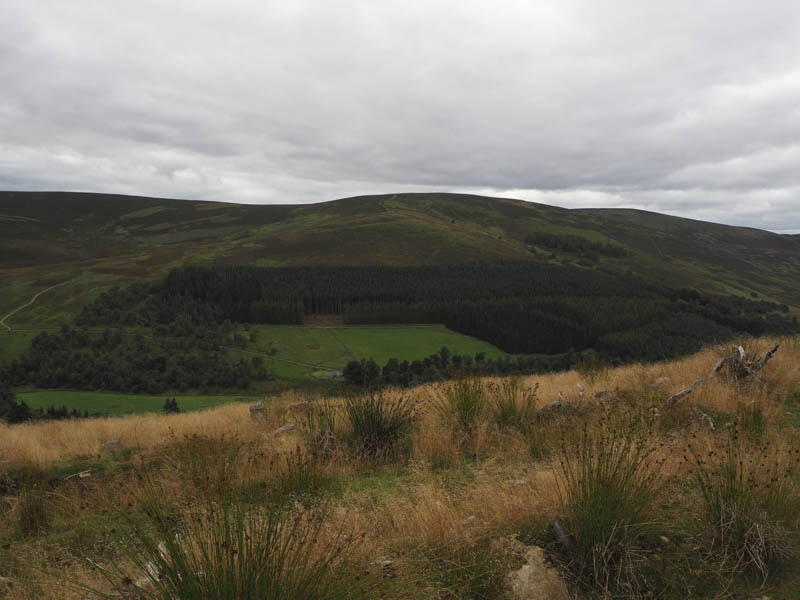
Balnaboth Craig – After White Hill I drove round to the adjoining Glen Prosen and parked beside the church at Glenprosen Village. I then walked across the road bridge over the Burn of Inchmill to a telephone kiosk and post box at the end of the public road, and from there north passed the Glen Prosen Hostel and up Glen Tairie.
Once beyond the trees that lined the track I crossed a gate and a couple of fields to enter the woods of Balnaboth Craig.
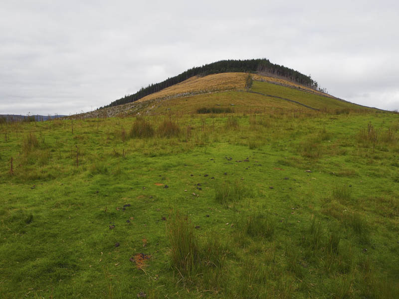
Here I followed forestry vehicle tracks north and west along an area that had been harvested then entered the mature firs.
The ascent of the Tump, Balnaboth Craig, continued along deer tracks which avoided the numerous fallen trees. The summit was a mass of windblown trees and I spent some time wandering around this area, crossing the tree trunks, looking for the cairn shown on my map but without success. The cairn could easily be concealed under one of the horizontal trees if it still existed.
Eventually I gave up searching for the cairn and headed back to the forestry vehicle tracks before returning to the start.
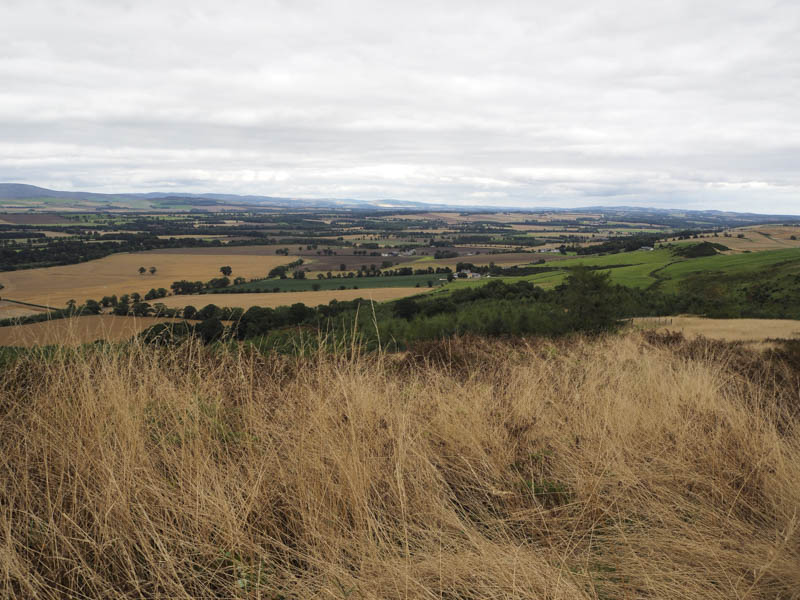
Finavon Fort – This hill was added to the list of Tumps after my visit to Finavon Hill in 2019. I parked at the side of the narrow single track road that crossed the Hill of Finavon to the east linking the A90 Forfar to Brechin Road with the B9134 between the same two towns.
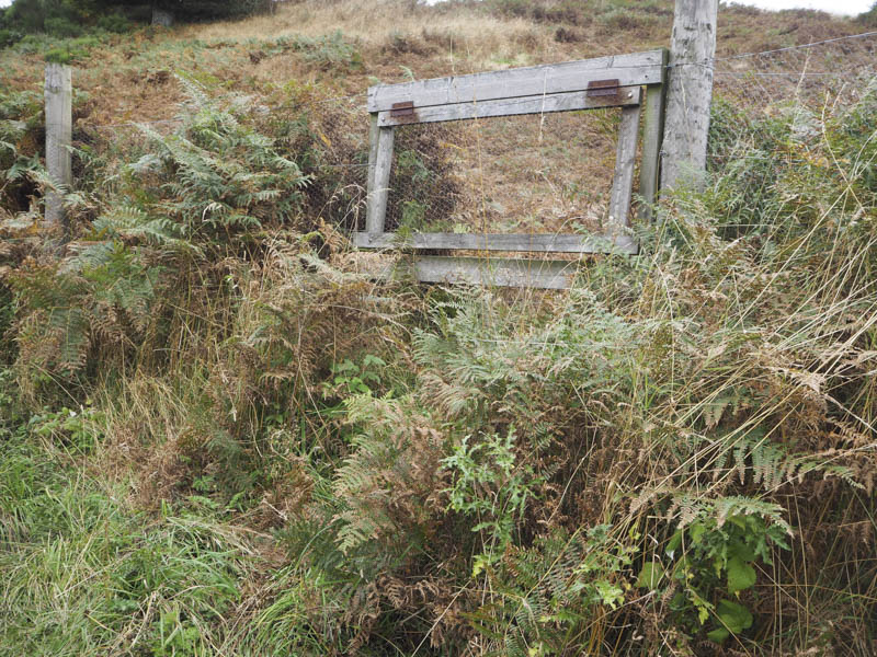
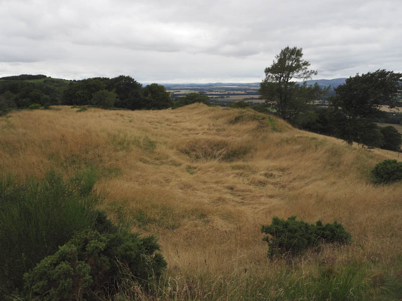
Although only around 200 metres to the summit of Finavon Fort it was hard work. I passed through a hatch in the deer fence and followed traces of a route through flattened dead bracken onto the east side of Finavon Fort.
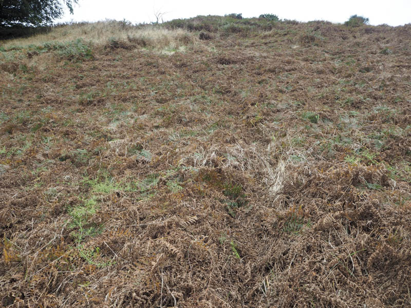
It was then tough going as I worked my way through long grasses and more dead bracken which sunk several inches when I stood on.
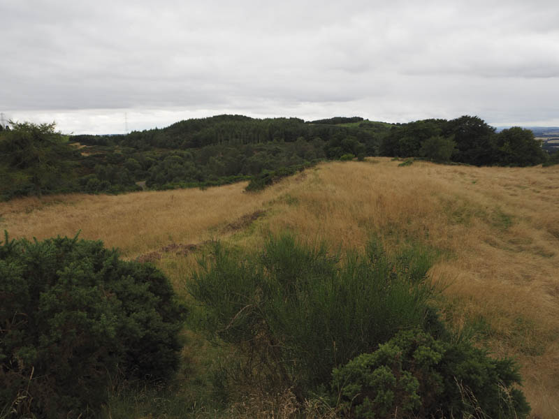
On reaching the summit I visited both knolls before returning by the ascent route.
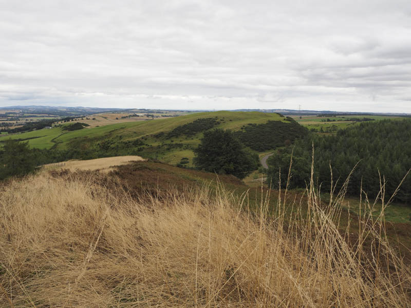
Torr Wood – I parked at the roadside beside the post box at Rickarton, opposite the minor road to Newbigging, on the A957 Stonehaven to Banchory Road.
I walked briefly east along the A957 then south-west on the access road to Rickarton House. At a junction with a muddy vehicle track I climbed steeply south through mature and well spaced trees. The gradient soon eased and here there were new plantings of deciduous trees and further on some firs with several holes. The ground was also tussocky and there were some tree stumps making for awkward walking.
It was difficult to pinpoint the actual highpoint of this Tump but after visiting the summit area I returned to the start.
- Total time taken – 6 hours.
- Total distance – 15.25 kilometres.
- Total height climbed – 850 metres.