After spending a week at Doune on Knoydart in sunny weather the forecast was for another fine day so after returning to Mallaig by boat I drove east along the A830 Fort William Road to the parking area just west of the bridge over the Allt an Utha, west of Glenfinnan.
I crossed the road and commenced the ascent of Sgurr a’ Mhuidhe initially on vegetation that was recovering from being dug up during the construction of a hydro dam to the north.
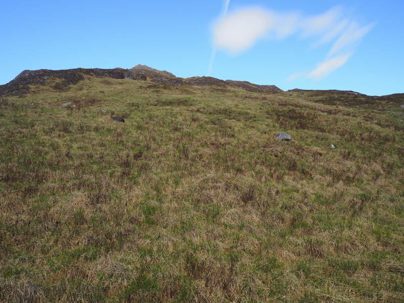
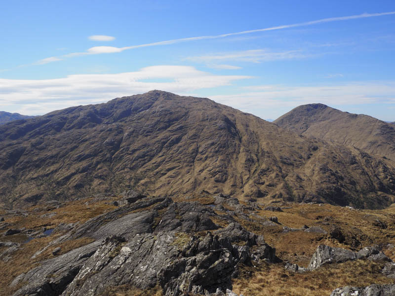
Later I left this area, crossed some rough vegetation then higher up rockier ground then the gradient eased before reaching the summit of Sgurr a’ Mhuidhe.
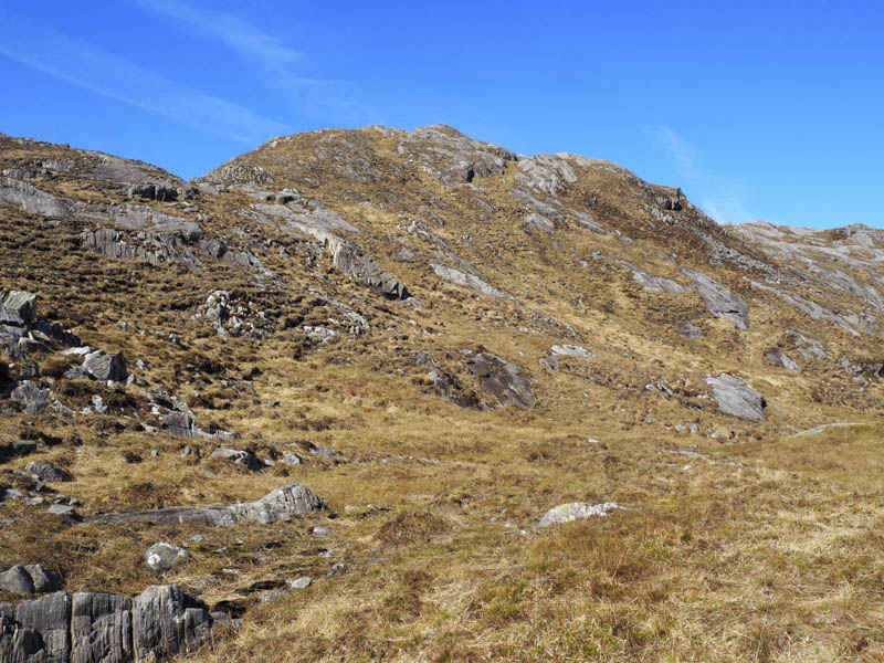
There were several possible high points including a small cairn which I visited but I was unable to say which was the true summit of this Hump. After a break at the top I returned roughly by the ascent route.
- Time taken – 2.25 hours.
- Distance – 4 kilometres.
- Height climbed – 445 metres.