On this day I headed to Glen Urquhart, west of Drumndrochit, parking on the south side of the A831 Drumnadrochit to Cannich Road just west of the access road to Shewglie. I then crossed the road bridge over the River Enrick and walked south along the tarred road to Shewglie, a large dark yellow painted house which must be expensive to keep warm in these times of high energy bills.
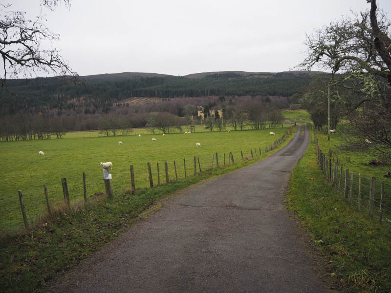
Just beyond this house I went right, round some farm buildings, to a gate leading to a vehicle track through a field containing cows and their calves. There were several feeding in a nearby trough but some were blocking the muddy track. Fortunately as I got close to them they slowly moved away and I continued along the track through the field and its trees. I then passed through another stock gate and entered Shewglie Wood before crossing the Affric-Kintail Way. There were a few forest tracks to follow and it was a fairly steady climb to arrive at the gate in the deer fence at the south side of the wood.
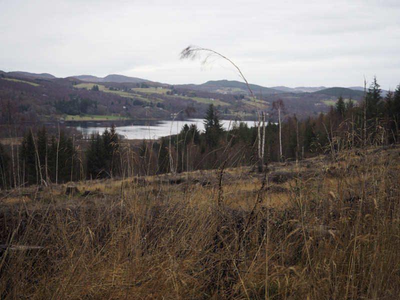
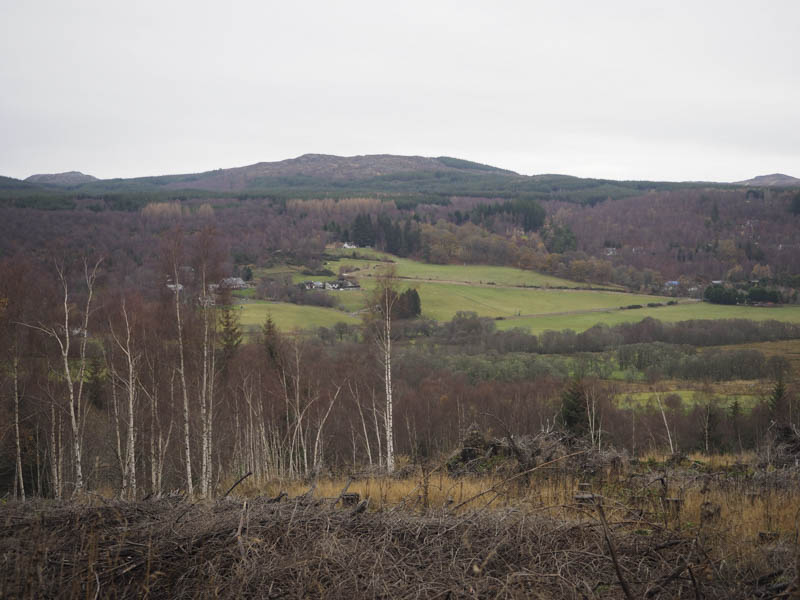
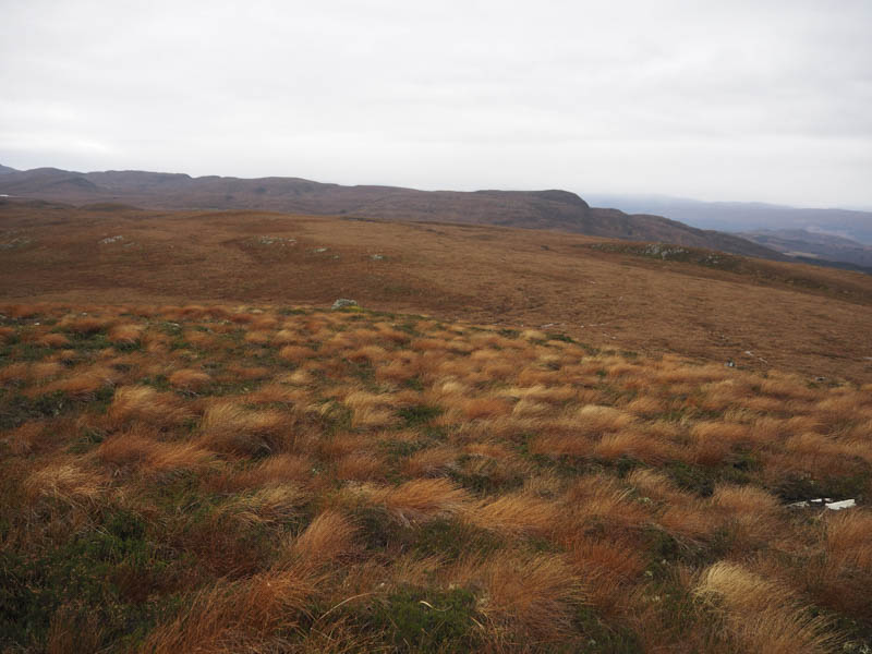
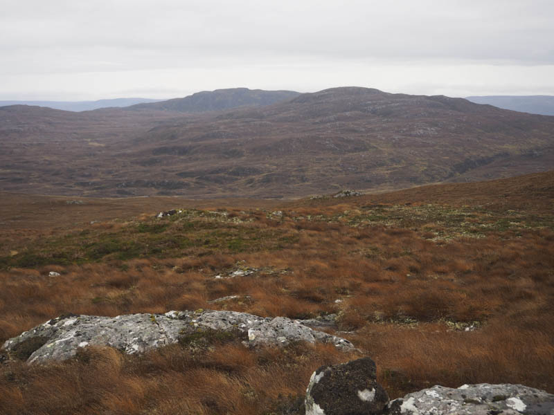
I was now on the open hillside as I walked south along the vehicle track until reaching a large sweeping bend where I left the track and commenced the ascent of Carn na h-Imrich. It was a steady climb through heather, mosses, and grasses, wet in places, and onto the summit of this Tump. The highest point was just north of the tall cairn.
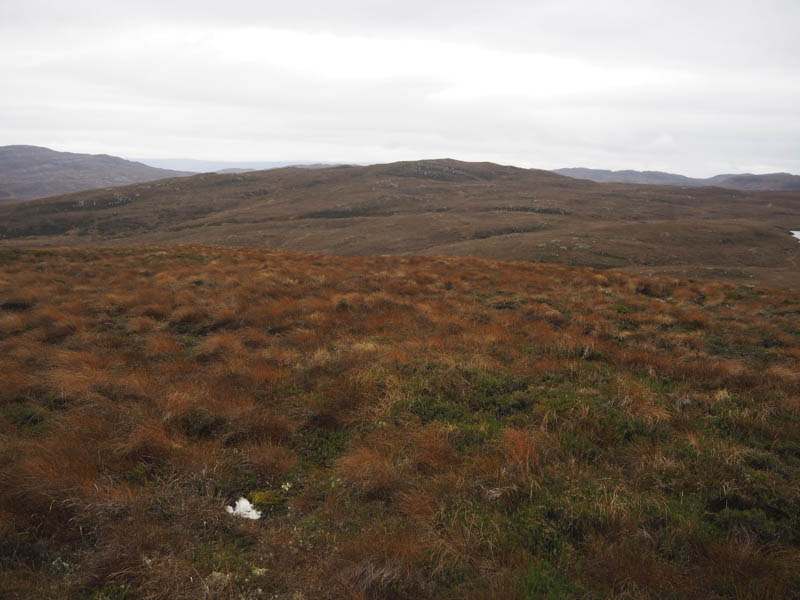
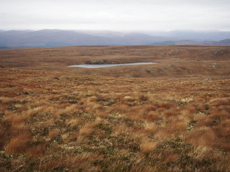
There was a cold wind blowing here but I did manage some shelter behind the cairn for a coffee break. Thereafter I descended south-west through rougher vegetation to the north side of Loch a’ Choire Bhuidhe. From there I climbed south then south-east onto Carn an t-Sluic Dhuibh where a cairn marked the highest point of this Tump.
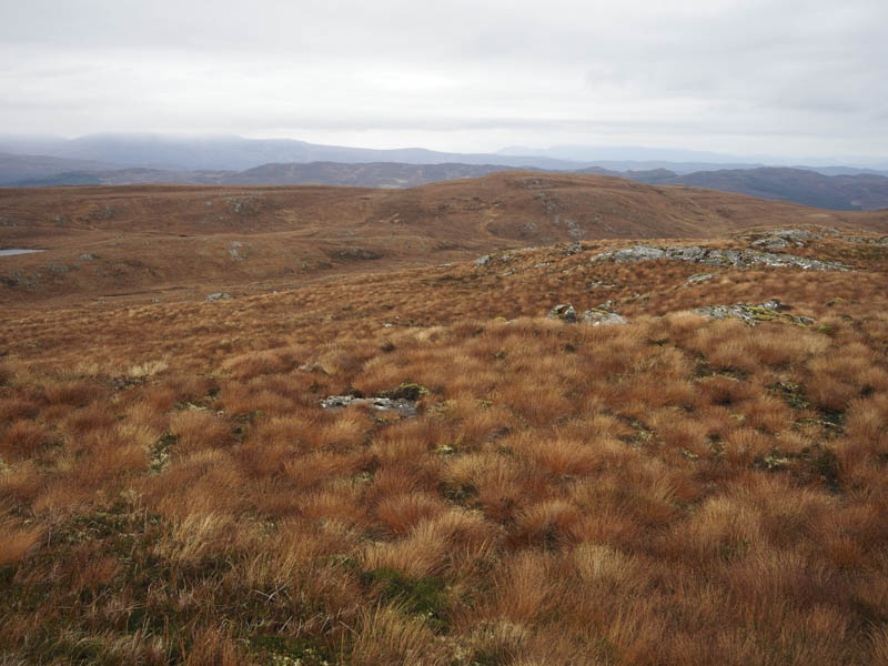
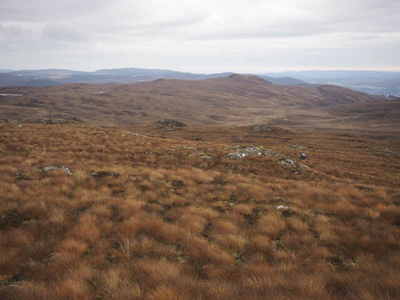
After a few minutes at the top I descended its north-east ridge, rough going and wet at times, to join the vehicle track at NH419263. This track was followed north to the point I had left it earlier, then I retraced my outward route back to the start. Fortunately this time there was only one cow blocking the track.
- Time taken – 5.25 hours.
- Distance – 12.5 kilometres.
- Height climbed – 540 metres.