On my previous ascents of the Corbetts, A’ Chaoirnich (also known as Maol Creag an Loch) and An Dun, I approached them from the A9 at Dalnacardoch to the south but on this occasion I planned a different approach and to include the Hump/Corbett Top, Bruthach nan Creagan.
I parked amongst the trees on the Drumguish Road just north of the B970 Tromie Bridge, accessed from Kingussie, and cycled back to Tromie Bridge then up Glen Tromie.
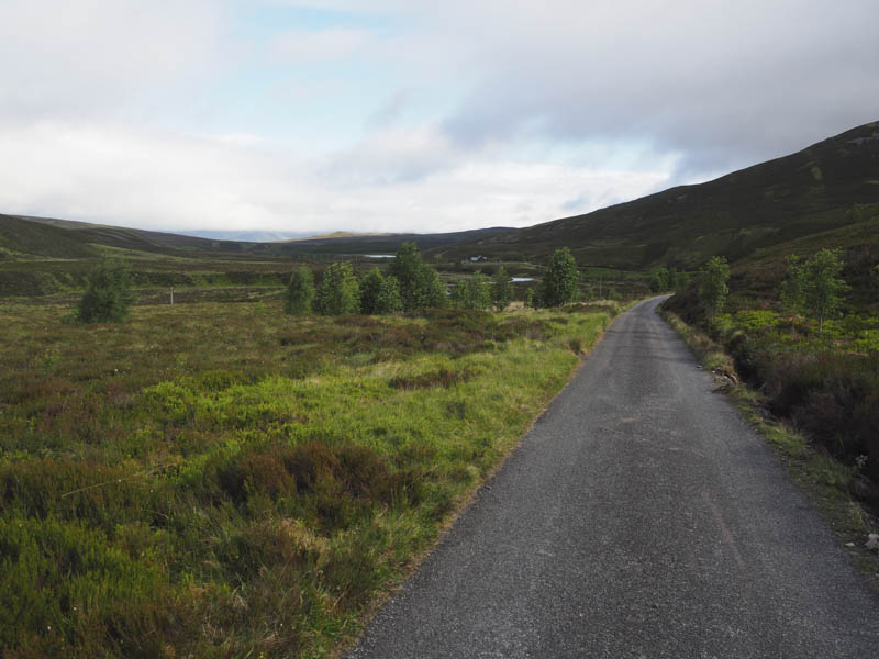
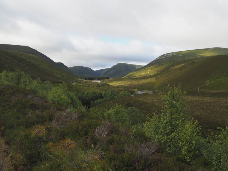
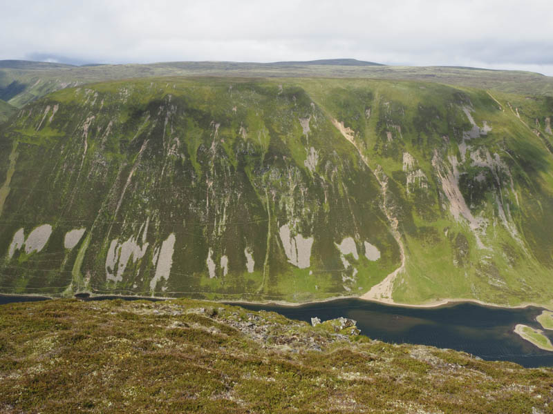
Initially the surface of the vehicle track was hard core but beyond Glentromie Lodge it was tarred as far as the hydro dam at the north end of Loch an t-Seilich where it reverted back to hard core. Beyond Gaick Lodge the track became quite rough.
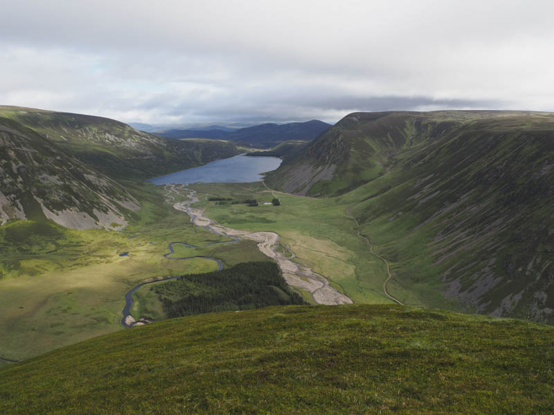
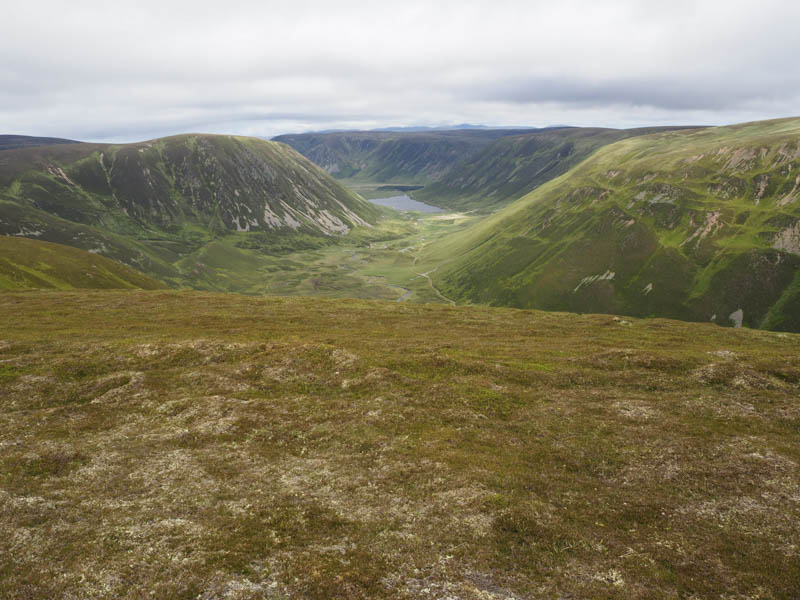
At the woods just after crossing the Altt Gharbh Ghaig, which was quite low, and two hours after setting out, I was glad to abandon the bike as I found the cycle hard going even with walking for short sections. Here the ascent of the Hump/Corbett Top commenced with a steep climb of the north ridge of Sron Bhuirich through mainly heather.
After around 330 metres of slog the gradient eased and I walked across short vegetation over Sron Bhuirich and onto Bruthach nan Creagan. I was unable to tell where its highest point was as the summit was fairly flat and unmarked.
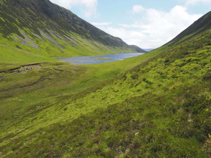
Thereafter I descended south-west across a few boggy areas and peat hags to reach the col with A’ Chaoirnich. Initially on the ascent of this Corbett there were more peat hags then an old ruin was reached with the walking becoming easier on short vegetation.
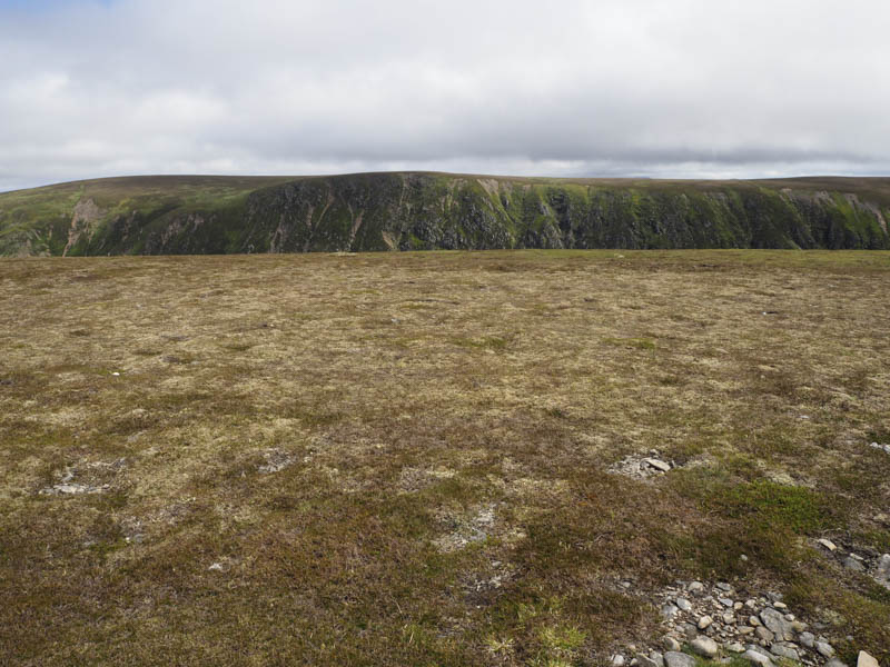
A small cairn marked its summit so once visited I descended south and south-west locating a walker’s path which disappeared as I crossed an area of bog to the north of a deer fence and Sronphadruig Lodge to reach a vehicle track.
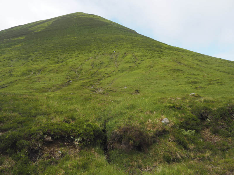
I briefly walked north along this track but it turned north-west to a dam so I left the track and crossed some peat hags and bog. There were a few paths to choose from and they took me to below my next hill, An Dun. It was a steep ascent through the heather on a walker’s path. I found this hard work but the gradient eased prior to heading for the summit. The South Top was apparently higher although the North Top was recorded as being the same height. Anyway I visited both tops.
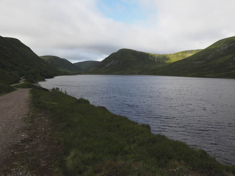
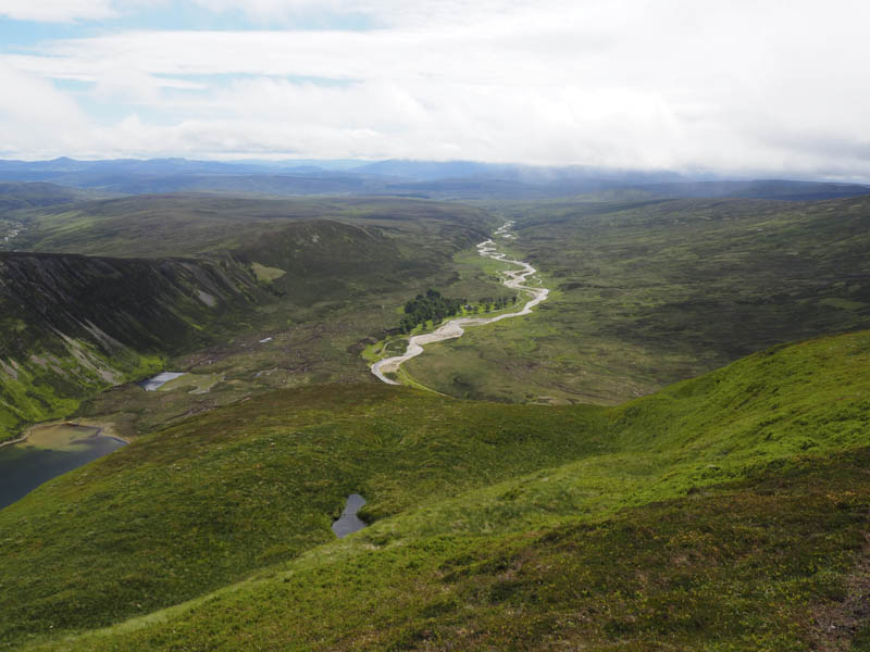
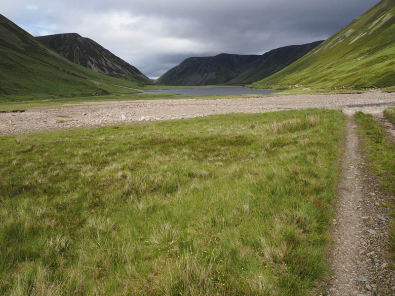
The descent was fairly steeply north then south-east to join the vehicle track at the crossing of the Allt Loch an Duin. I then walked along this track, passed Loch Bhrodainn and Loch an t-Seilich, to the woods where I had left my bike.
I then commenced the cycle back down the glen but hadn’t got as far as the Gaik Lodge when I had a rear tyre puncture. At this point I was passed by a mountain biker, the first person I had seen all day except for an estate employee. The biker stopped and offered to help as in his student days he had worked in a cycle shop in Glasgow. Within several minutes he had replaced the tube and the bike was back in working order. I was very grateful for his assistance as it would have taken me a while to make this change. Thankfully the rest of the cycle out, which was a lot easier than the morning’s ride, was uneventful.
- Time taken – 9.75 hours.
- Distance – 55.25 kilometres.
- Height climbed – 1520 metres.