The easiest way of reaching the foot of the Corbett, Meallach Mhor, was probably cycling the ten kilometres or so down Glen Tromie from Tromie Bridge on the B970 east of Kingussie. However I wanted to include the Graham Tops, Croidh-la, Clach-mheal and Meallach Bheag before heading for this Corbett so a bike wouldn’t be much use on this occasion.
There was no parking in the vicinity of Tolmie Bridge so I left my vehicle a short distance to the north in an area of woodland on the road leading to Drumguish. I then walked through the Caledonian Pine Forest to join the vehicle track in Glen Tromie just south of the bridge. This track was in good condition and had probably been upgraded for use by construction staff and vehicles working at the hydro dam on the outflow of Loch an t-Seilich.
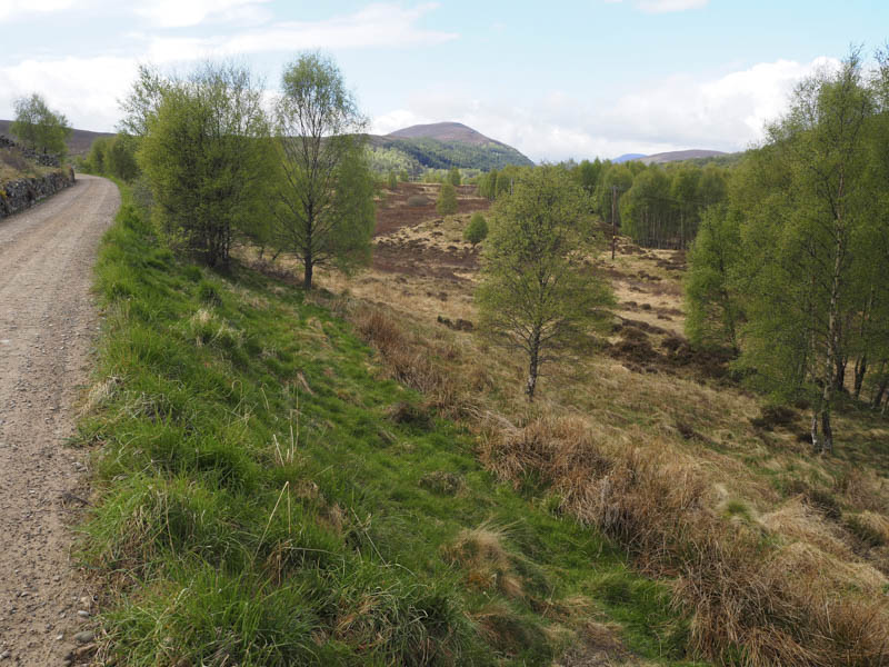
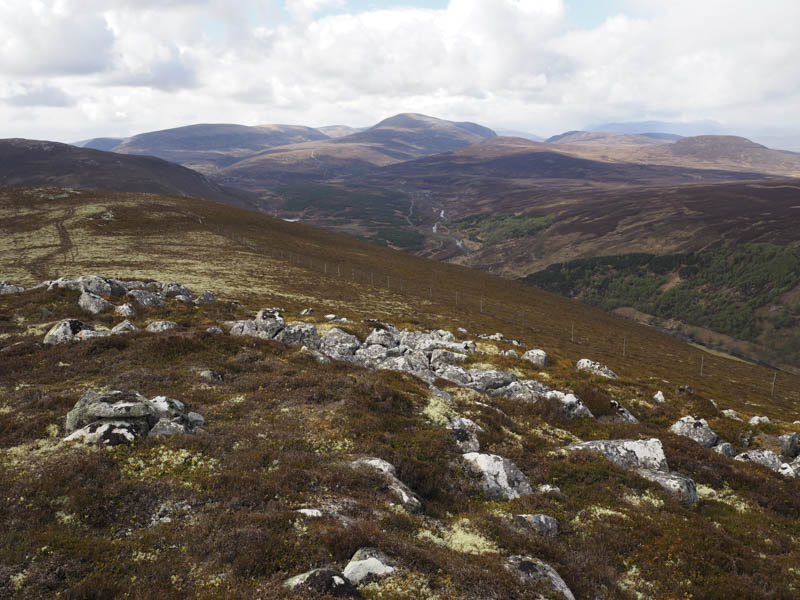
Around 1.5 kilometres later I came to the point where I planned to leave the vehicle track and commence the ascent of Croidh-la’s North-East Ridge. The path at NN787978 wasn’t visible from the track but on crossing an area of heather I located the path although it was partially concealed by long heather. After a bit of height gain the path became a bit more obvious and later on I came to a deer fence where a stile had been installed.
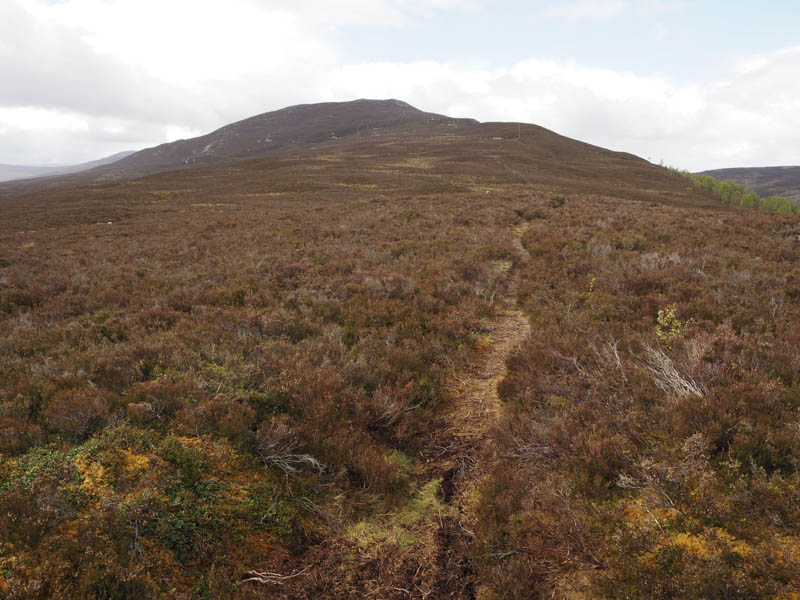
Higher up another deer fence was reached and on this occasion there was a wooden gate. Beyond, the gradient increased before I reached Croidh-la’s trig point then 150 metres further on its summit cairn.
Still on a path I descended south to the col with Clach-mheal before climbing this hill, visiting a couple of points as the summit wasn’t that obvious.
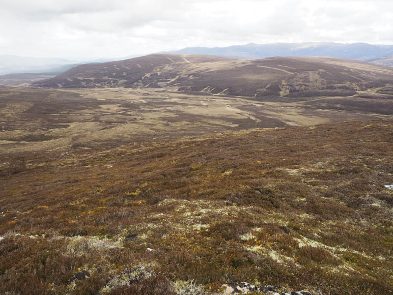
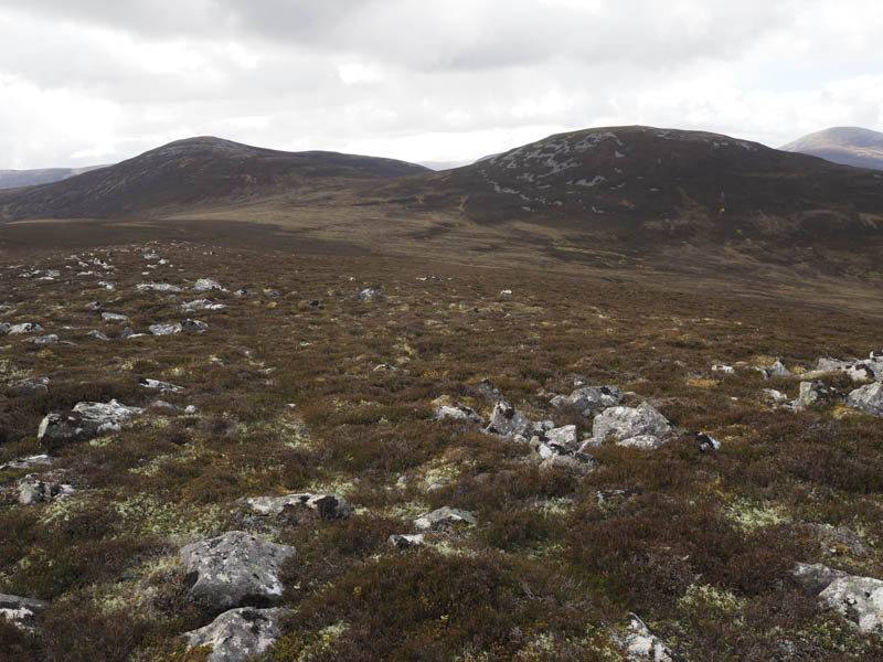
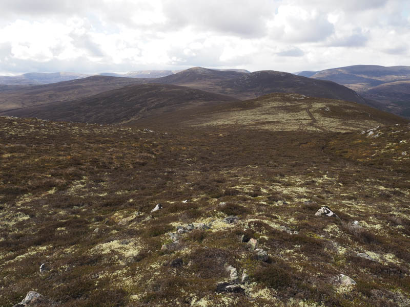
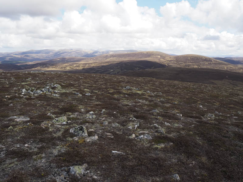
The path then disappeared in the heather and mosses as I headed south to the col with Meallach Bheag and here the vegetation was rather tussocky. A fairly steep ascent through heather, avoiding areas of boulder, led to Meallach Bheag’s summit cairn.
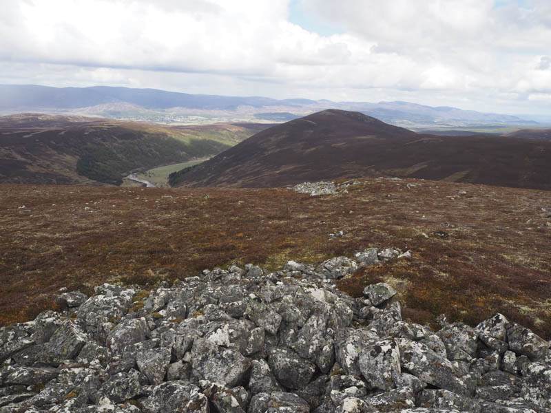
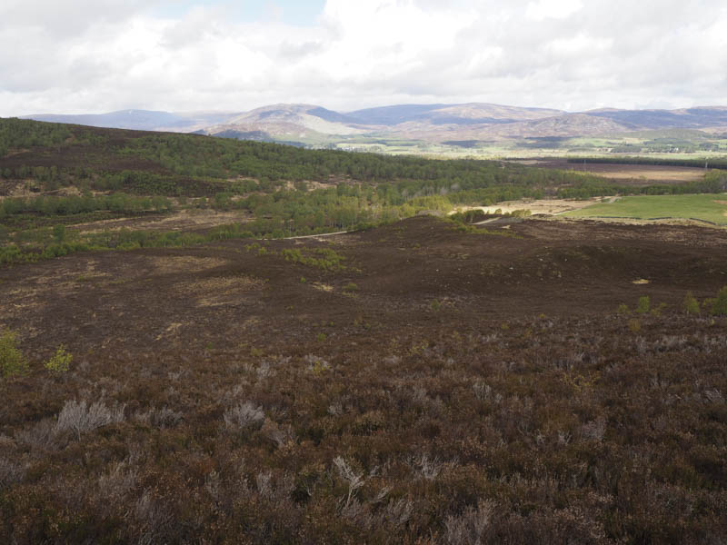
I didn’t linger long here before descending to the col with Meallach Mhor and on its ascent there were again traces of a path. At the summit cairn it was a bit chilly due to a cold wind so after taking a few photographs I descended west then north-west through heather which was of different lengths as the estate manage it for the grouse.
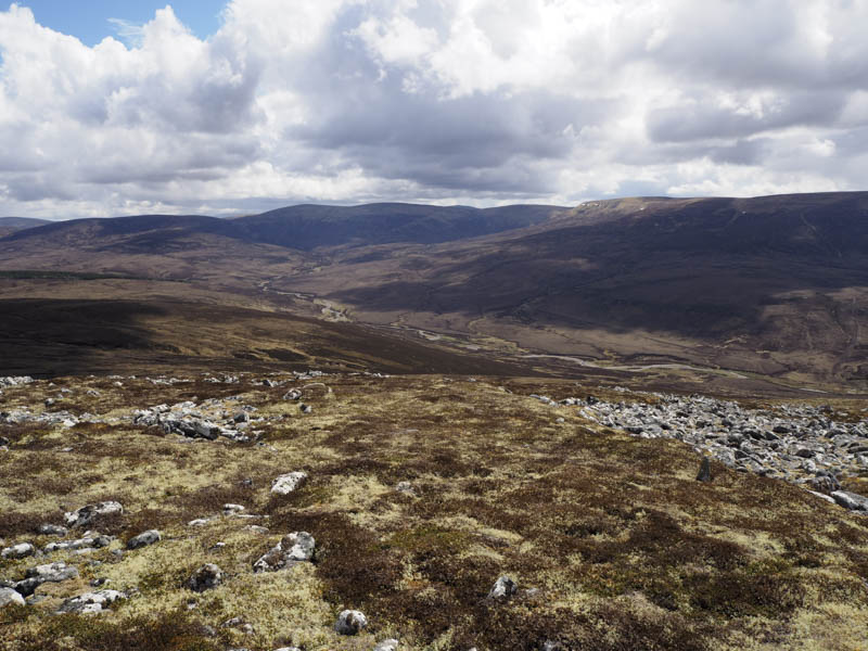
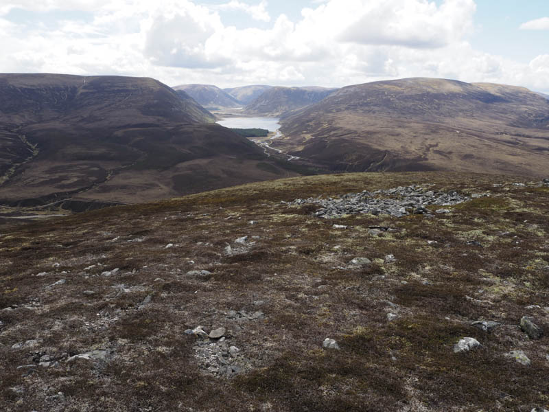
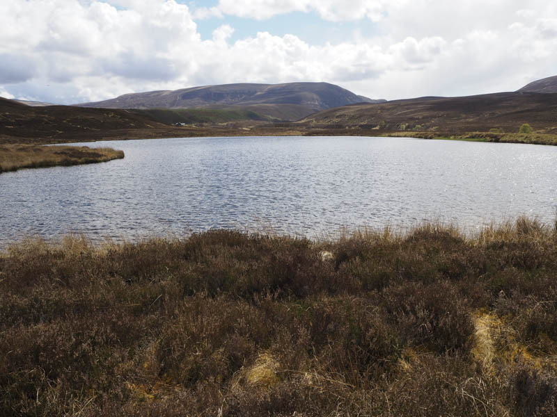
This made for easy walking on the short stuff and slowed me down on the longer shoots. On reaching the man made lochan in Glen Tromie I stopped for lunch before commencing the long walk down the glen to my car.
- Time taken – 6.75 hours.
- Distance – 23.5 kilometres.
- Height climbed – 820 metres.