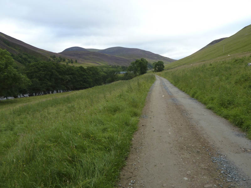
I arrived in the car park at the Old Bridge of Tilt, accessed from the B8079 at Blair Atholl, just before 7.30am. It was fairly busy with campervans and overnight parkers. I set off initially pushing my cycle across the road and for the first couple of hundred metres along the track leading to Glen Tilt as it was on upward gradient.
On mounting my bike I cycled north through the forest before the track crossed the River Tilt and headed out of the forest and along the east bank of the river on a fairly easy gradient with only a couple of sections where I had to push my bike.
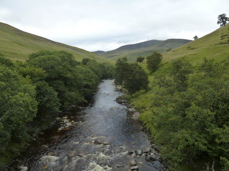
Beyond Marble Lodge the track re-crossed the River Tilt and after a further 750 metres I came to the Allt Craoinidh.
Here I left my bike and walked north on a path also used by sheep. Initially it was fairly steep but eased off before it joined the vehicle track coming up from Clachghlas.
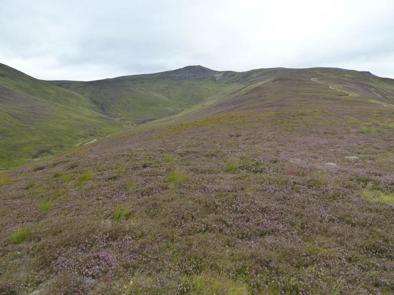
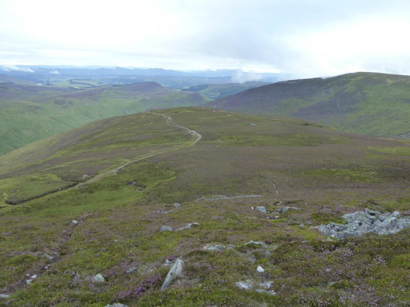
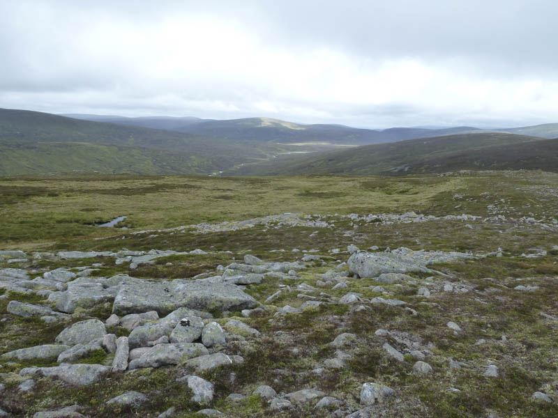
This track, which was quite rough in sections, took me up the south-west ridge of Carn a’ Chlamain.
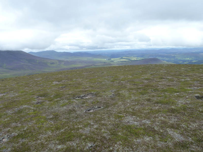
Higher up a walker’s path led more directly onto the south-east ridge before re-joining the vehicle track which by-passed the summit of the Munro, Carn a’ Chlamain, to the north-east.
A short climb through rocks and I reached the summit cairn where I took a break while some low cloud began to form.
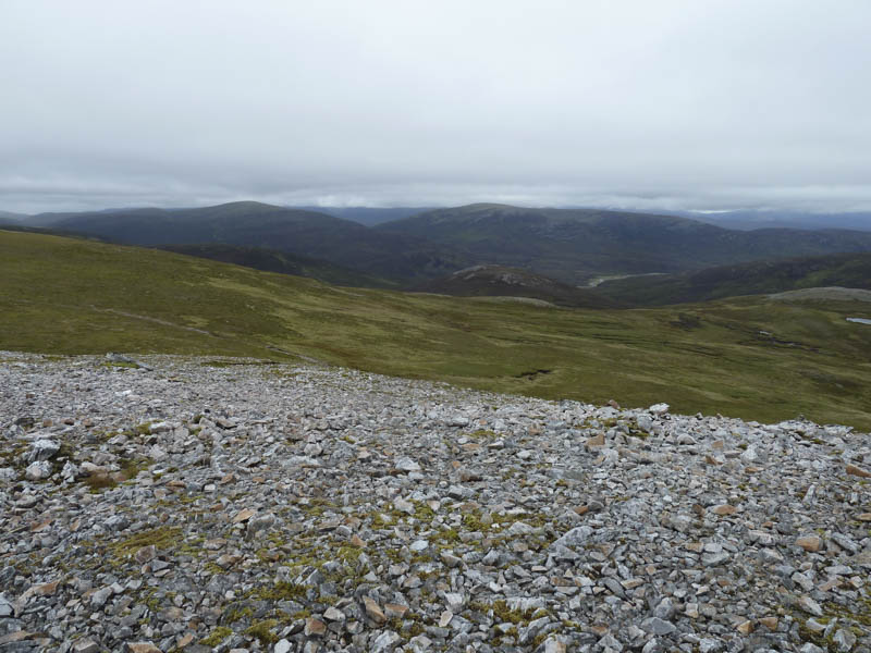
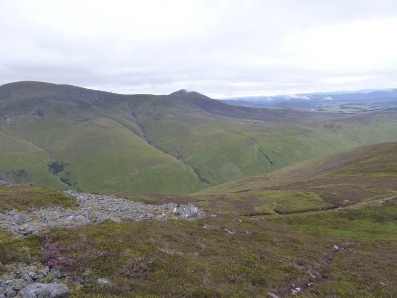
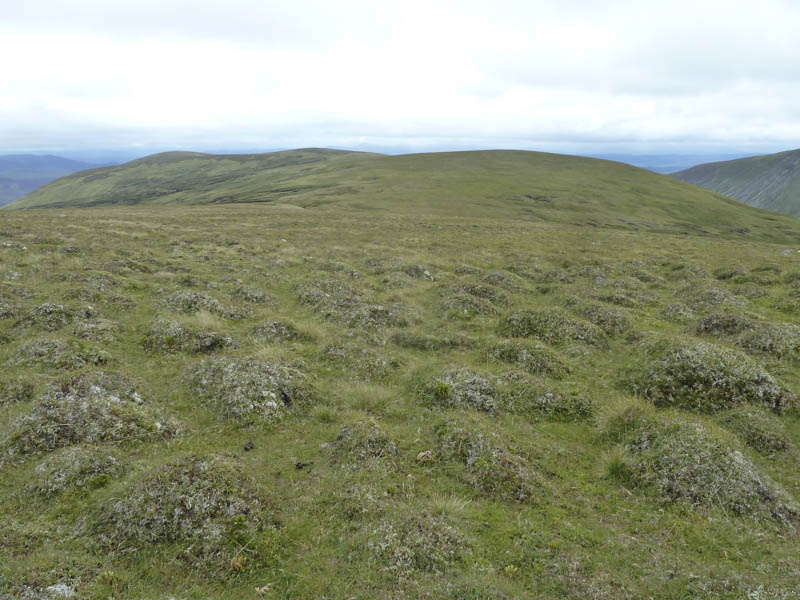
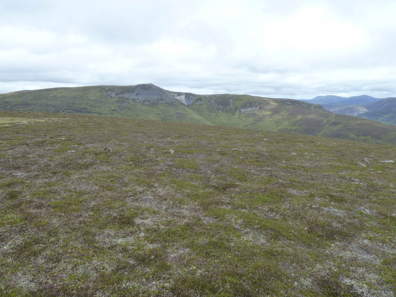
Afterwards I walked north-west below Carn a’ Chlamain’s North Top and to the col with Aonach na Cloiche Moire before working my way below this hill and to its col with Braigh Sron Ghorm. From this wet col I climbed to the cairn marking the summit of the Corbett Top, Braigh Sron Ghorm.
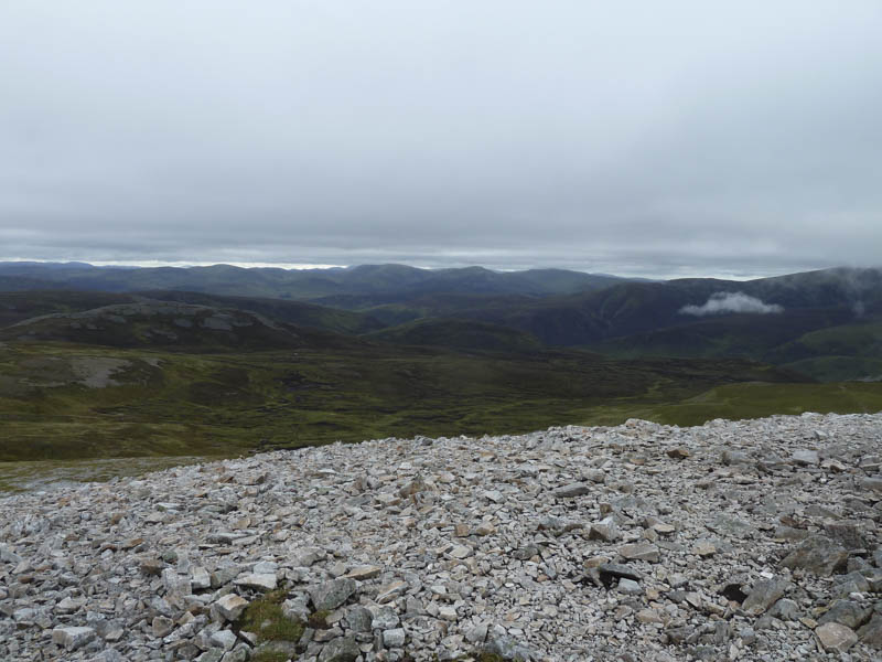
I retraced my route to the col with Aonach na Cloiche Moire and climbed this Sub Simm but the actual summit wasn’t obvious amongst the grassy mounds.
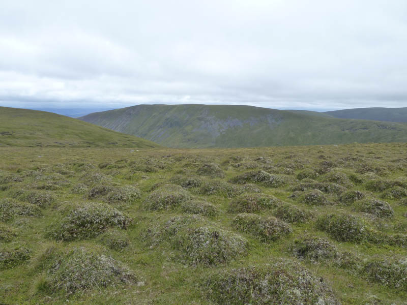
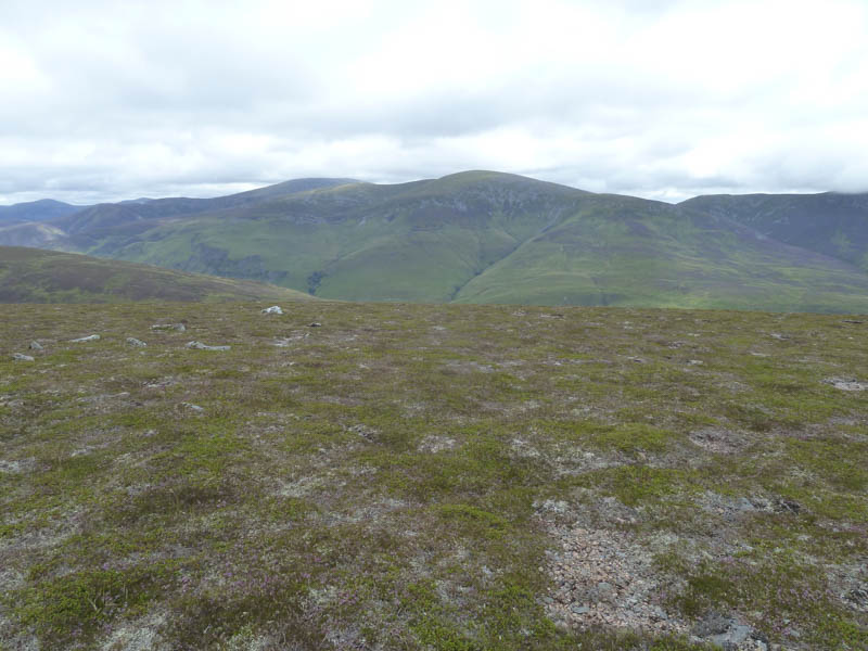
The weather was beginning to improve and spots of rain that I encountered ceased as I descended south and climbed the Corbett Top, Braigh nan Creagan Breac, where the highest point was marked by a cairn.
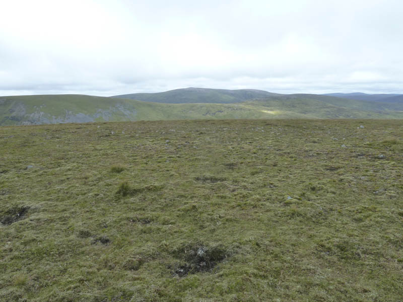
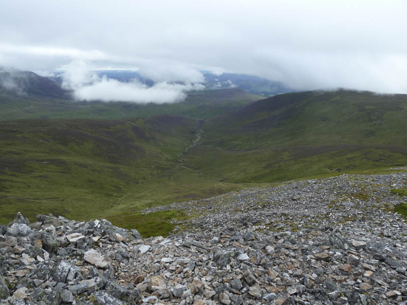
The walk continued south to Braigh Clais Daimh and here I met a couple going in the opposite direction. The summit of this Sub Simm was marked by a small cairn. I then headed south to the 855 knoll where I stopped for lunch.
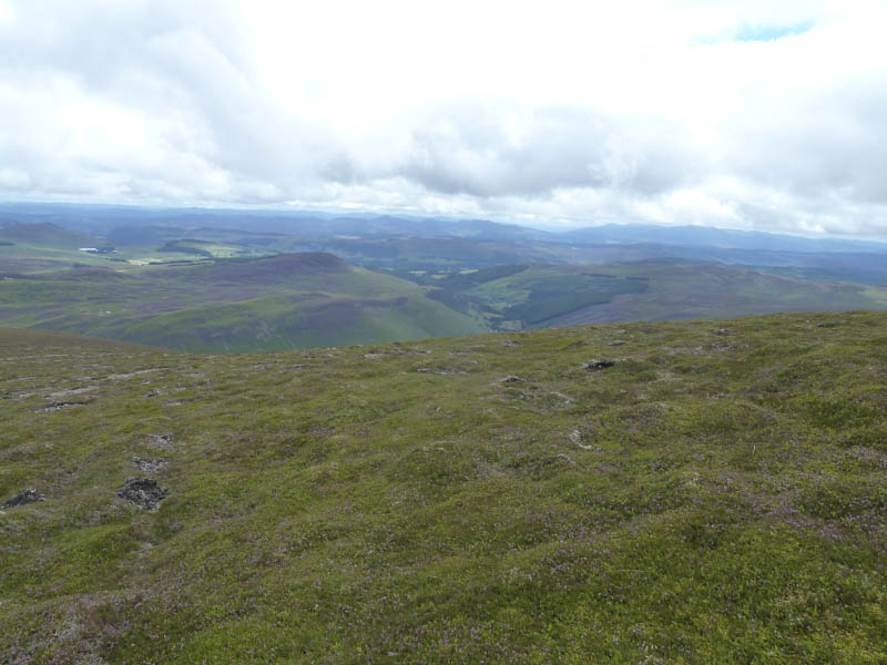
Afterwards it was down the heathery Sron a’ Chro Ridge where there were remnants of an old stone dyke. In places it was a fairly steep descent but with no real difficulties.
I returned to the bridge over the Allt Craoinidh, collected my bike, and cycled back down the glen, which was busy with walkers especially in its lower reaches. On arriving at the car park it was over-flowing with vehicles.
- Time taken – 7 hours.
- Distance – 23.75 kilometres.
- Height climbed – 1100 metres.