Earlier in the week I had checked with the estate to ascertain if they would be stalking on the date of my planned ascent of the Corbett, Beinn Mheadhonach and the Corbett Top, Carn a’ Chiaraidh. I received a reply that they were but to stick to the main ascent route.
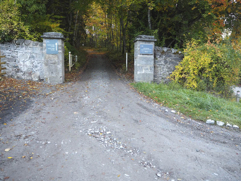
It was an early start for the drive to Blair Atholl then to the car park at the Old Bridge of Tilt where there was only a couple of campervans and a car, unlike on my return when it was almost full. I set off across the public road to Old Blair and onto the vehicle track up Glen Tilt initially pushing my bike up the small gradient. I’m not a cyclist and hadn’t been on my bike for well over a year so there were a few occasions when it was easier to get off the bike and push rather than struggle up the wee gradients.
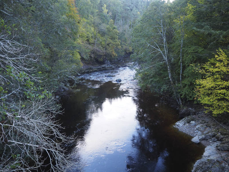
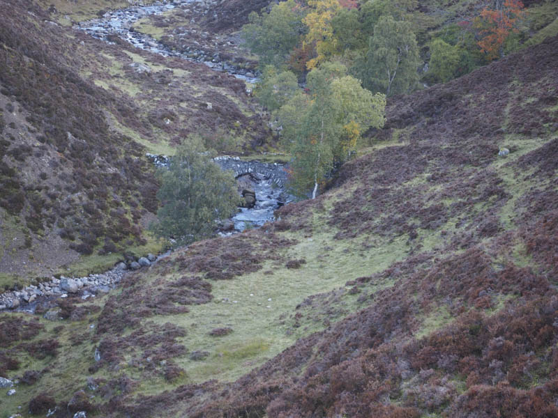
The track initially ran above the gorge on the west side of the River Tilt before crossing to the east side at the Cumhann-leum Bridge.
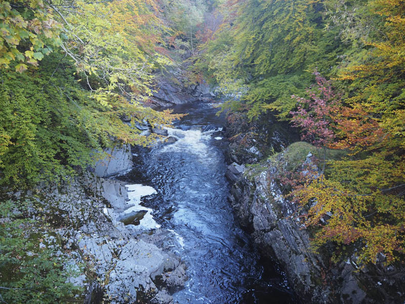
At the next bridge, Gilbert’s Bridge, I re-crossed the River Tilt, where I left my bike.
Several metres west of Gilbert’s Bridge an unlocked gate in a deer fence gave access to a track through the trees above the River Tilt. There were a couple of undulations before the vehicle track reverted to a path through the dead bracken then onto the Ach-mhairc footbridge.
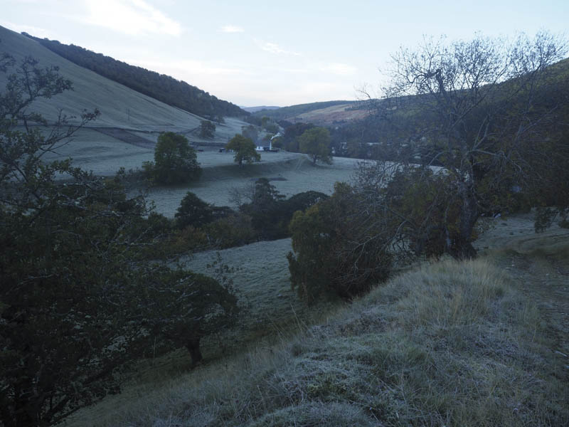
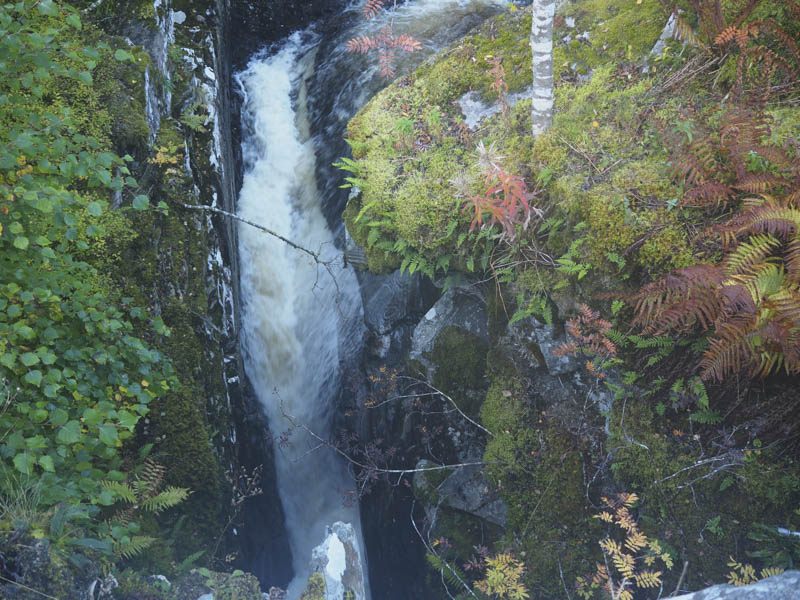
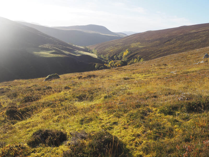
This led to a grassy area where the path headed north above the stream. After passing through some frosty ground it was into the early morning sun with the roar of the stags and some hinds appearing out of the gorge.
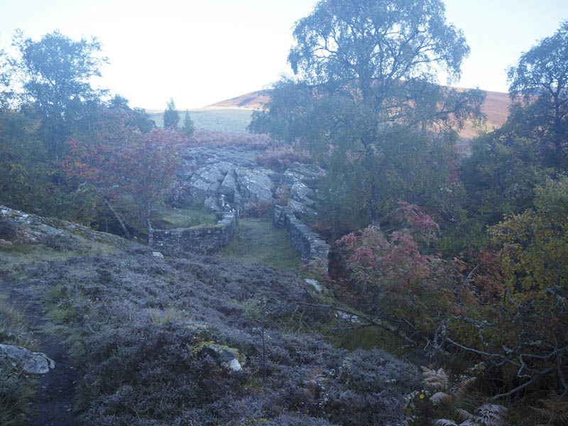
I reached the junction of the Allt Diridh and the Allt Mhairc and here the path narrowed and descended to cross the latter by the New Bridge, which was far from being new.
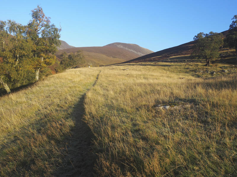
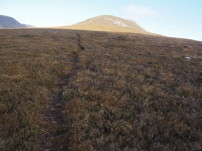
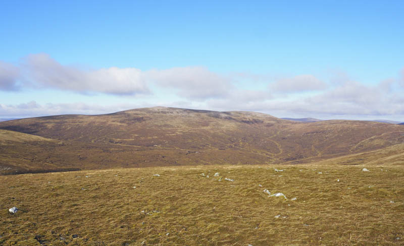
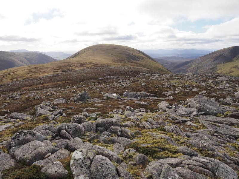
Beyond there was a short steep eroded section before the path gradually headed through the heather onto and up Beinn Mheadhonach’s South Ridge.
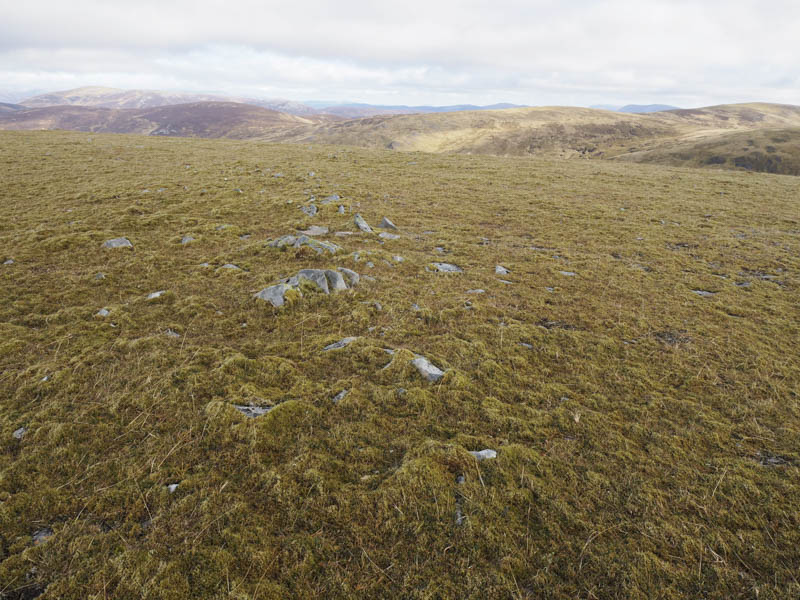
It crossed an old stone dyke and a couple of old shelters before reaching the first of a couple of cairns. The summit was apparently an embedded rock north of the second cairn.
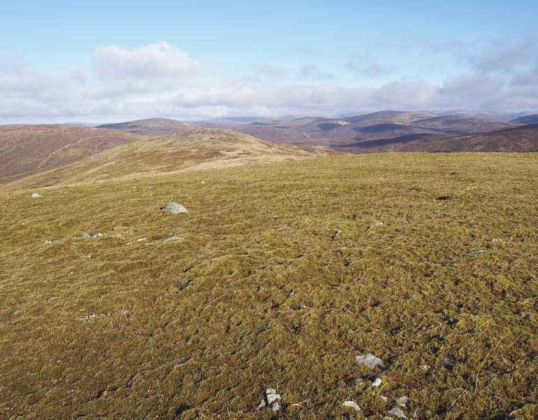
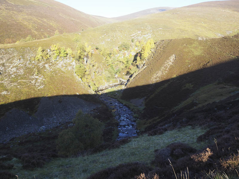
It had been a pleasant walk but on the summit area the wind had picked up and it was rather chilly. I found some shelter for a break listening to the stags roaring although I was unable to spot them or the stalkers. In fact the only shots I heard all day came from the rifle range in Glen Tilt.
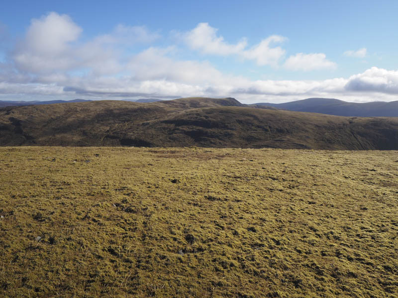
I descended north and made the easy ascent of the Corbett Top, Carn a’ Chiaraidh, the highest point marked by a cairn.

I had been over this hill on a couple of occasions but had no record of being at the actual summit hence the visit. The return was by the outward route.
- Time taken – 6.75 hours.
- Distance – 25.5 kilometres.
- Height climbed – 1230 metres.